The “Blue Lagoon”

It’s been far too long since I wrote about my travels here, and there are lots of awful reasons why that is.  Rather than waste time talking about how I should have written more, I’m going to jump right in to my next post.

At the end of April, over a year into the pandemic, we took a small family “camping” trip in Sturbridge, our (new) home town.  We love to stay in cabins when we camp — you can enjoy that outdoor, campground feeling, but never have to worry about putting away a soaking wet tent, or dealing with the maintenance on a camper.  For the number of times we camp each year, paying extra for the cabin just seems like a smart deal.

A new place had just opened up in Sturbridge at the site of the old Jellystone campground.  We stayed at Jellystone a few times back when we had a small camper, and we didn’t love it.  It was fun but felt beat down, and the seasonal-led culture didn’t mesh well with our family trip vibe. 

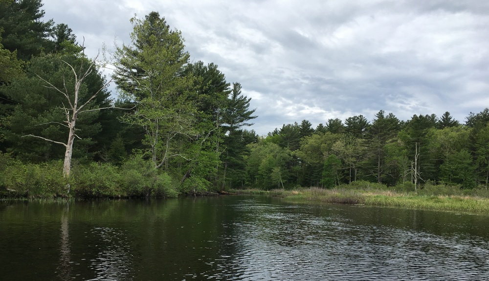
This new campground, run by the imaginatively named “RV Management Services” goes by Pine Lake RV Resort and Cottages.  It actually has no tent sites, just 55 cabins and a bunch of RV spots.  And while it has a small lake on site, I think most people are probably picturing something a bit more rural when they talk about a Pine Lake.  Still, that many cabins meant we weren’t fighting for a cabin spot.  We ended up with one of the lakefront cabins for our two night stay, a perfect way to test out a new spot close to home for a (slight) change of scenery.

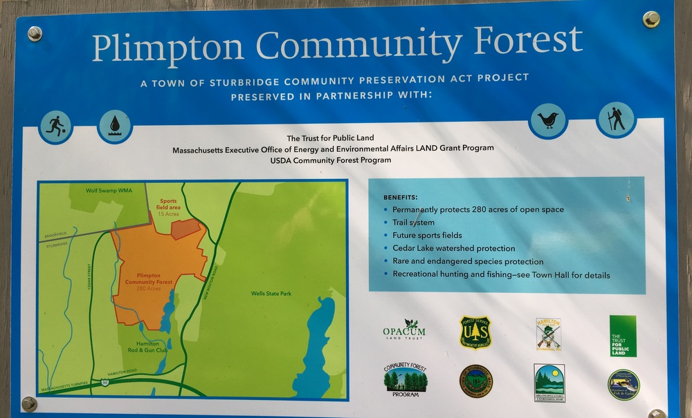
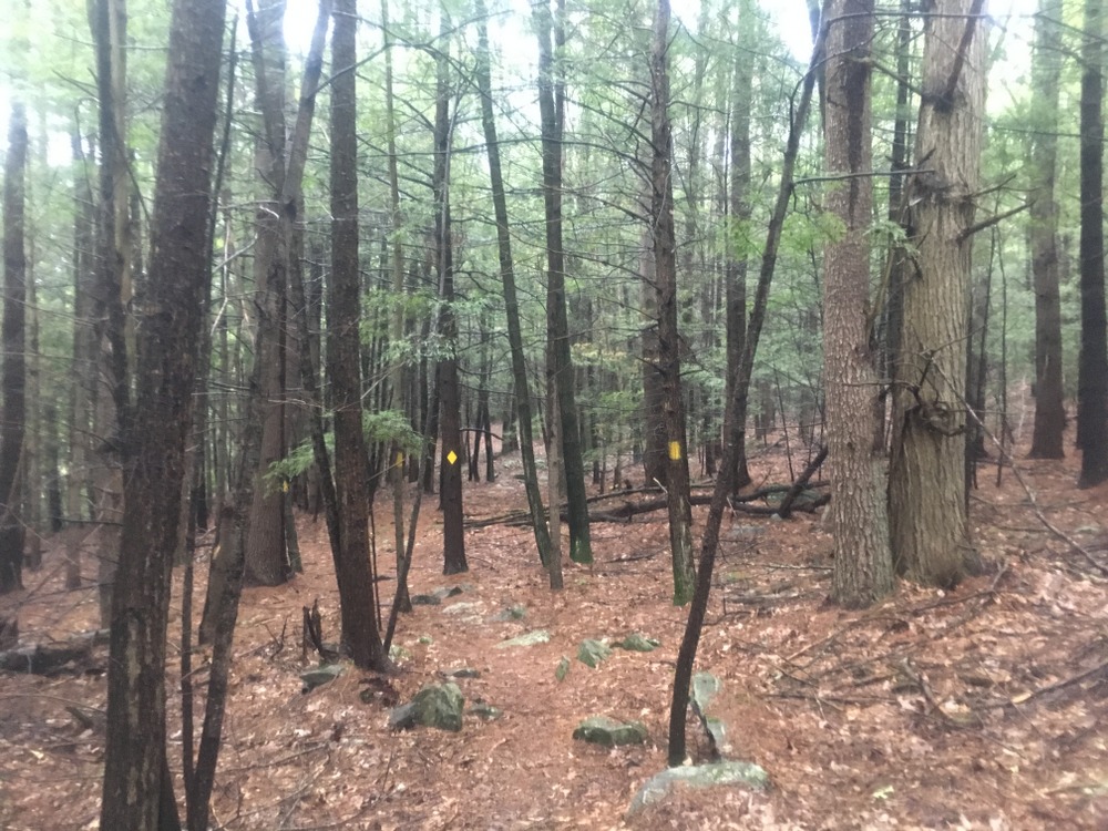
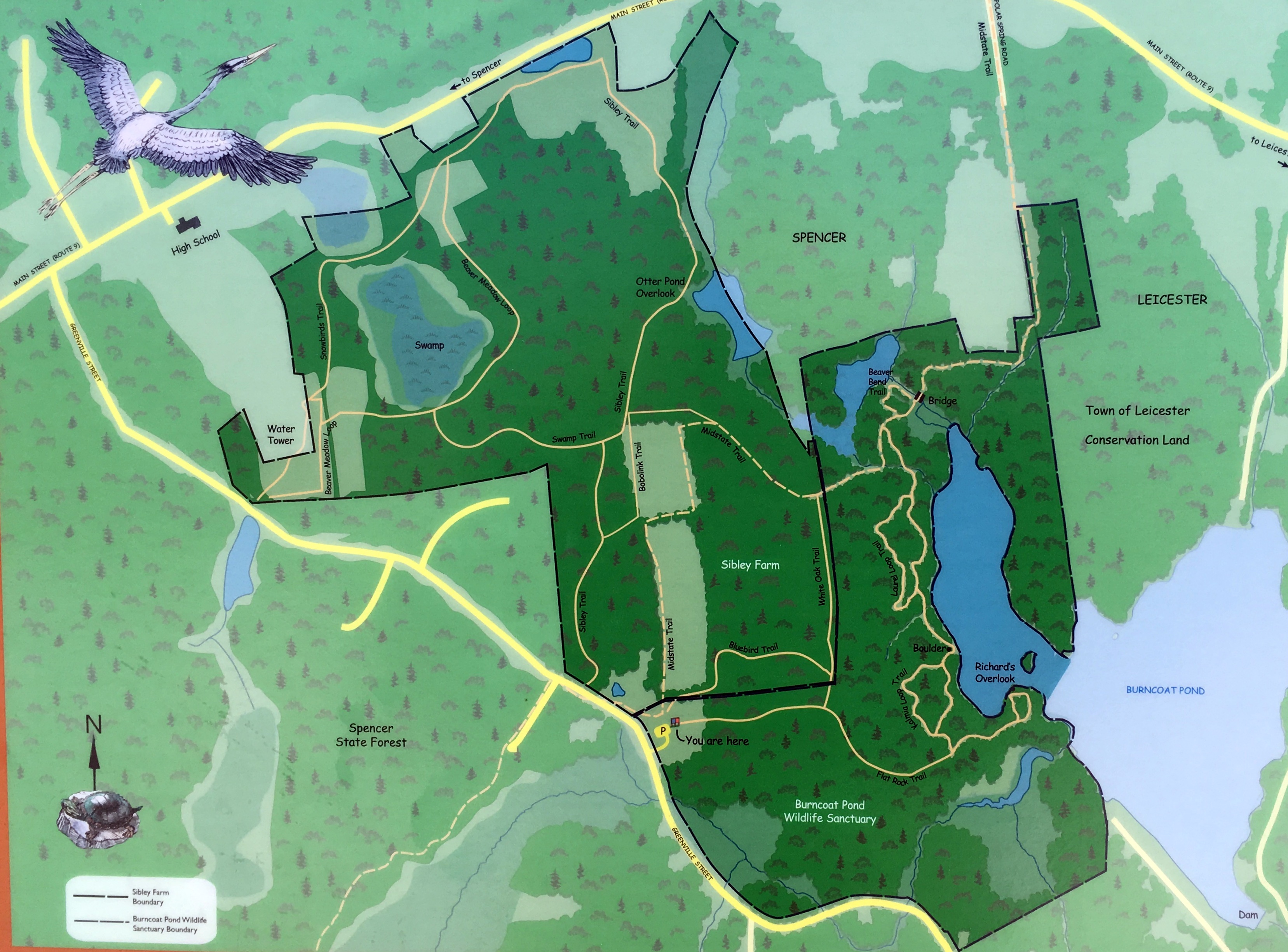
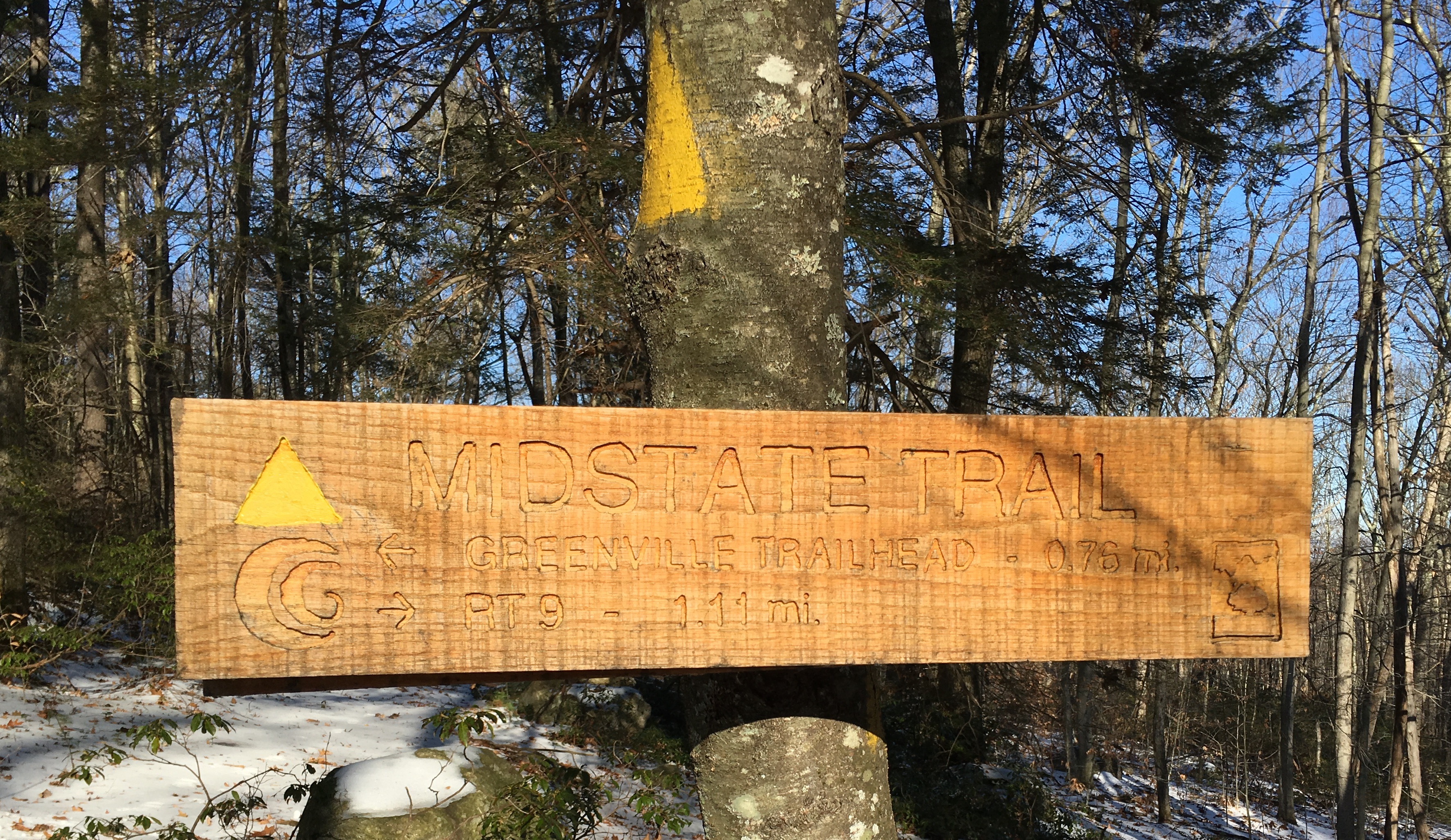
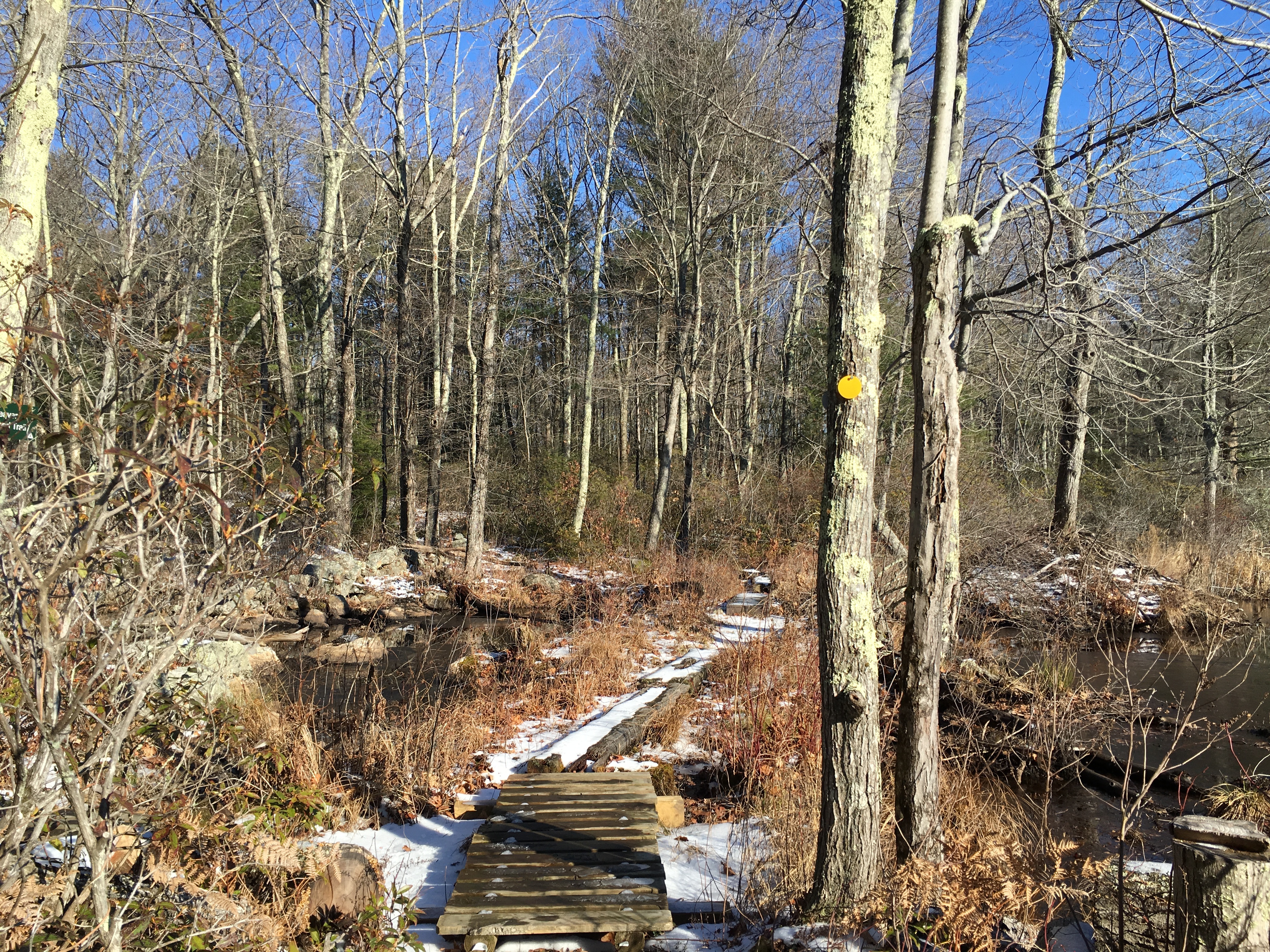
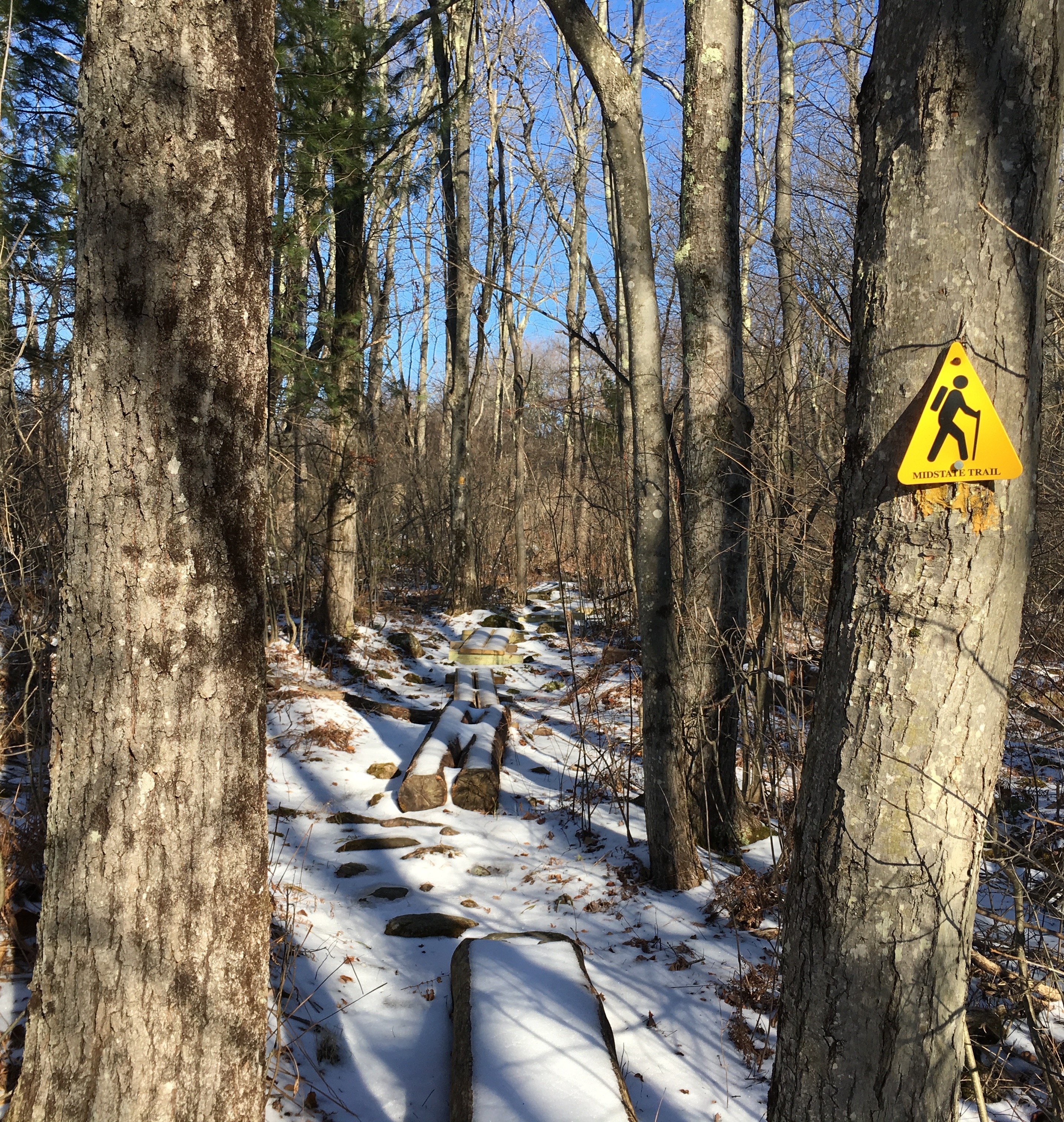
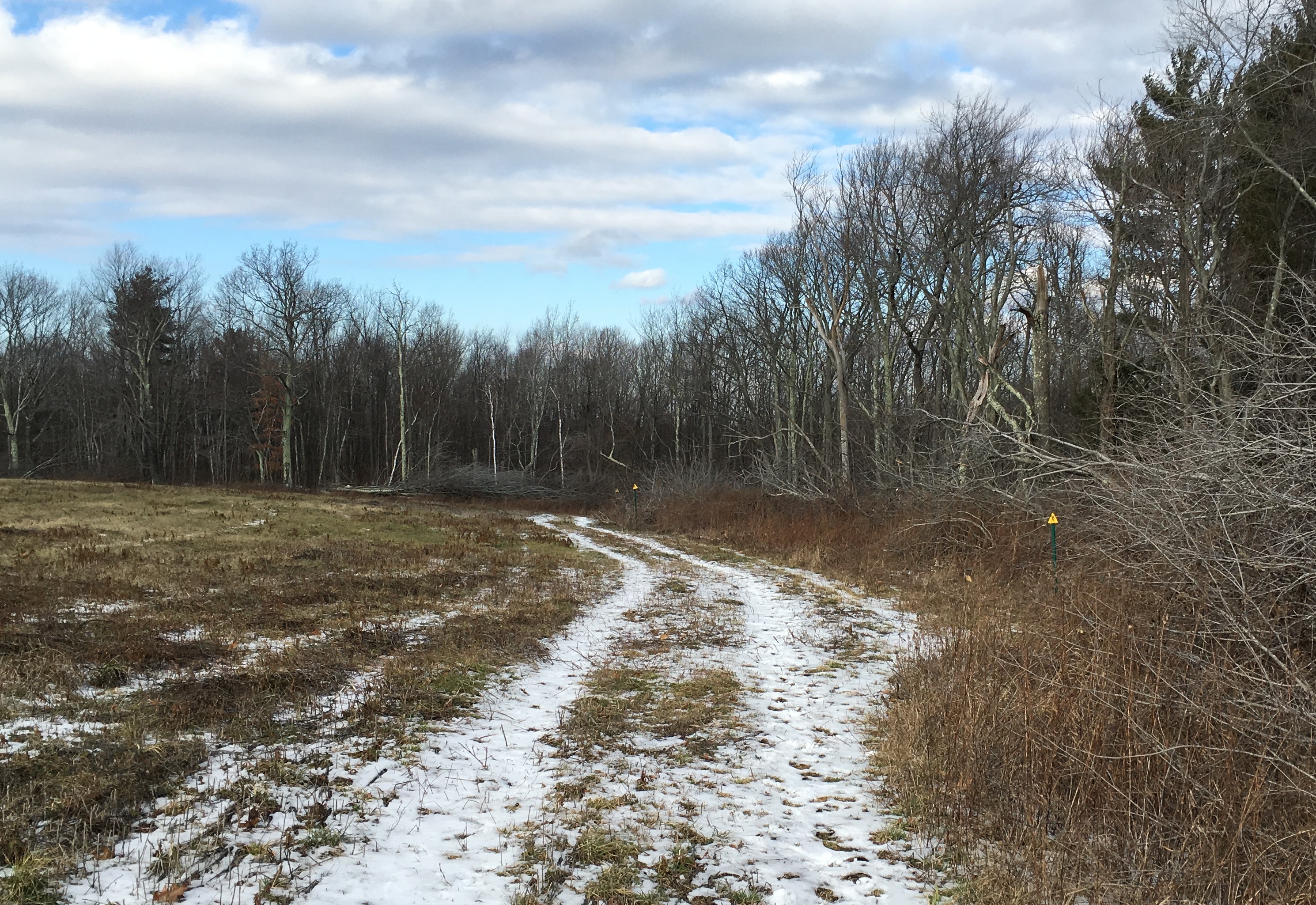
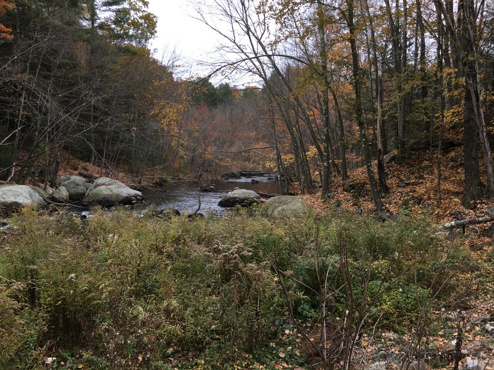
We decided to take a hike on the chilly, blustery, sunny Friday of our trip.  There was a set of trails nearby we hadn’t explored, and we’d seen some recent Facebook posts talking about a “blue lagoon” off those trails.  The trailhead (at Shattuck Rd) was less than a mile from the campground, so we took a quick drive and headed into the woods for some exploration.  We’d done some of the other trails in this network (Leadmine) over the years, but we hadn’t been through this new section which opened within the last 3 years.

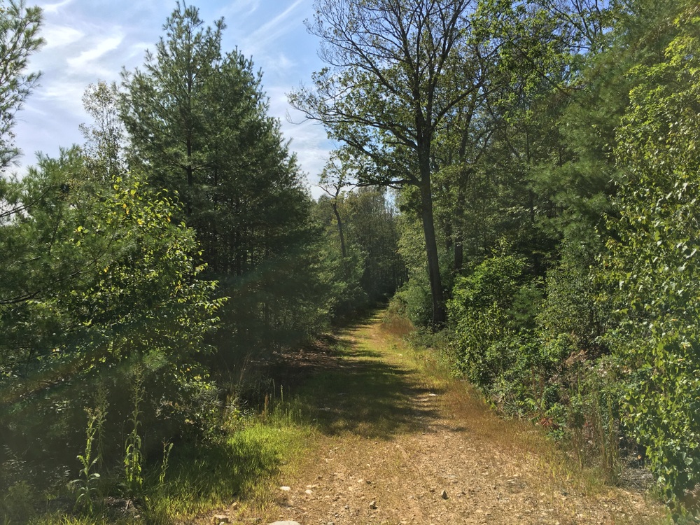
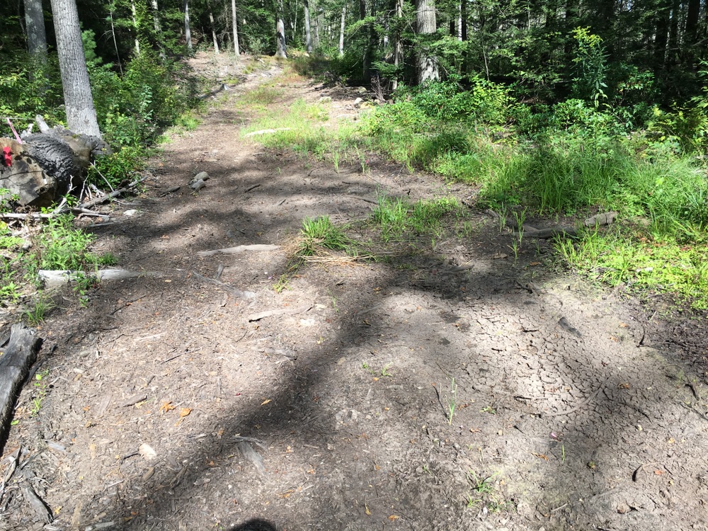
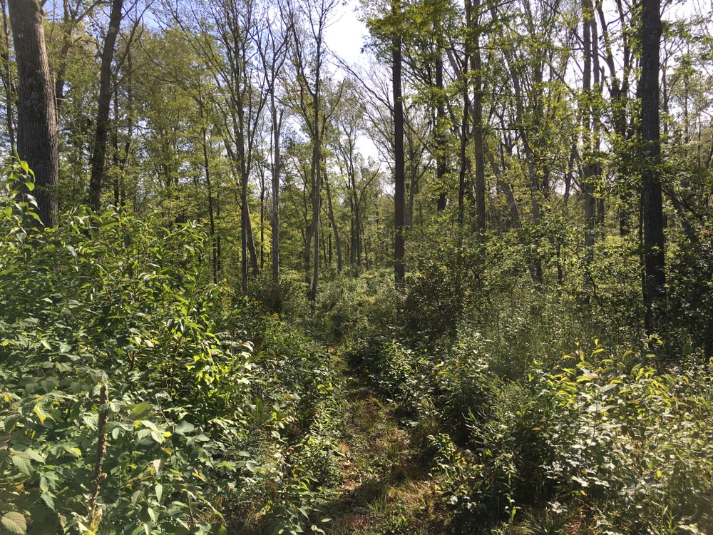
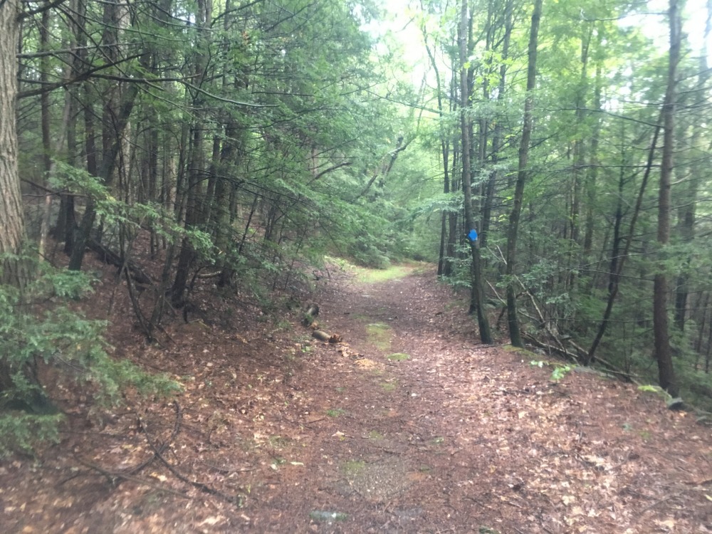
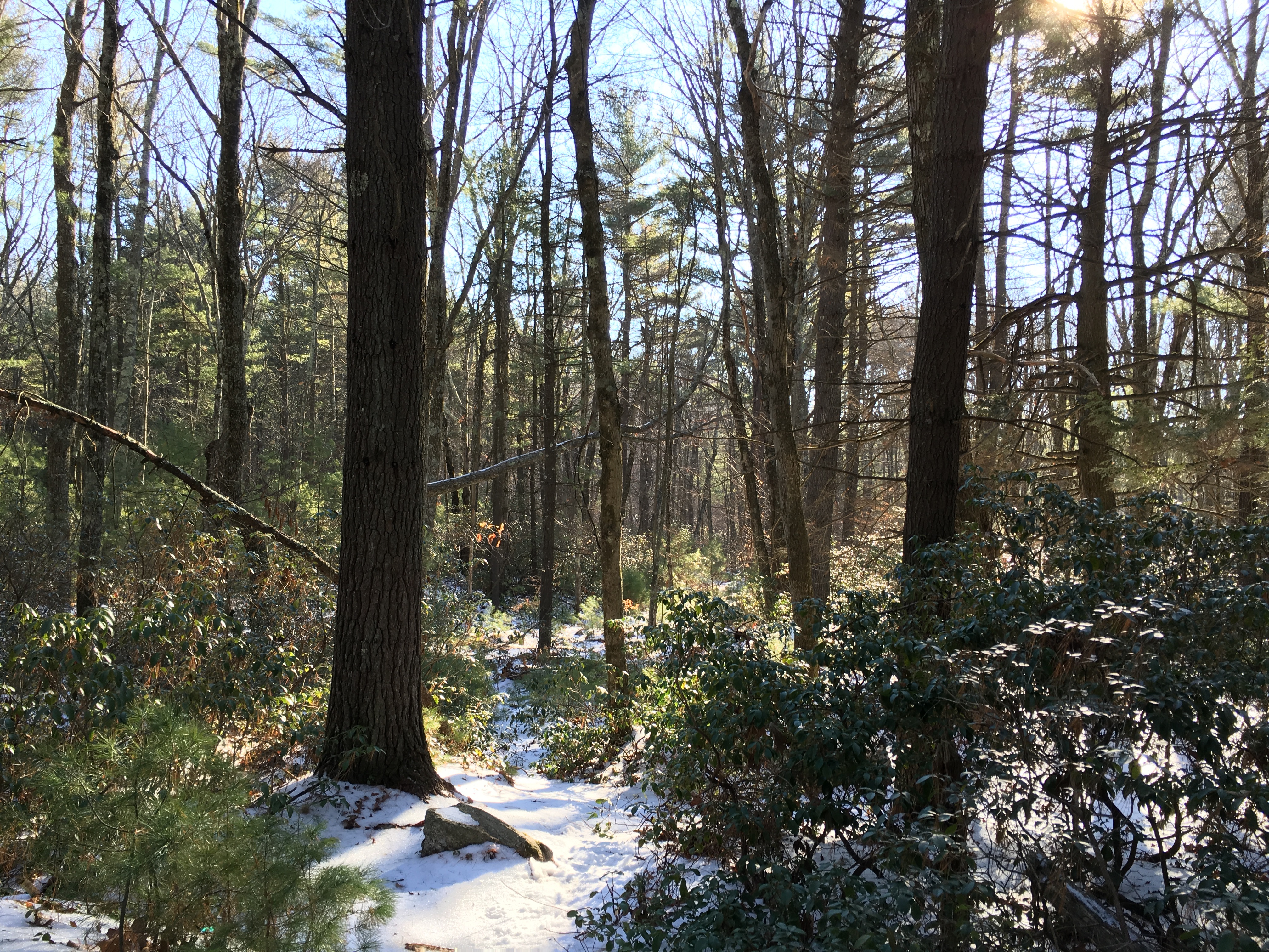
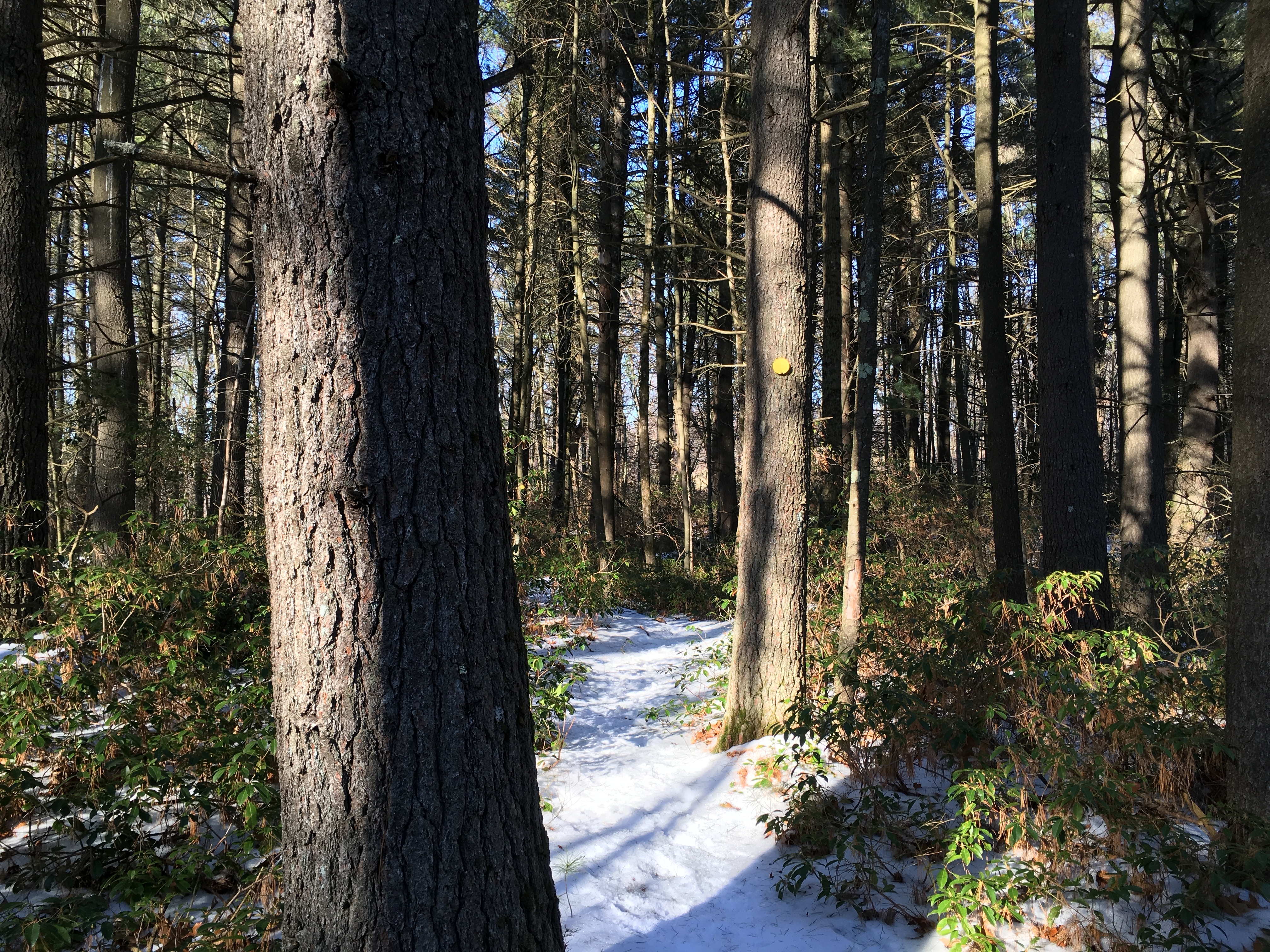
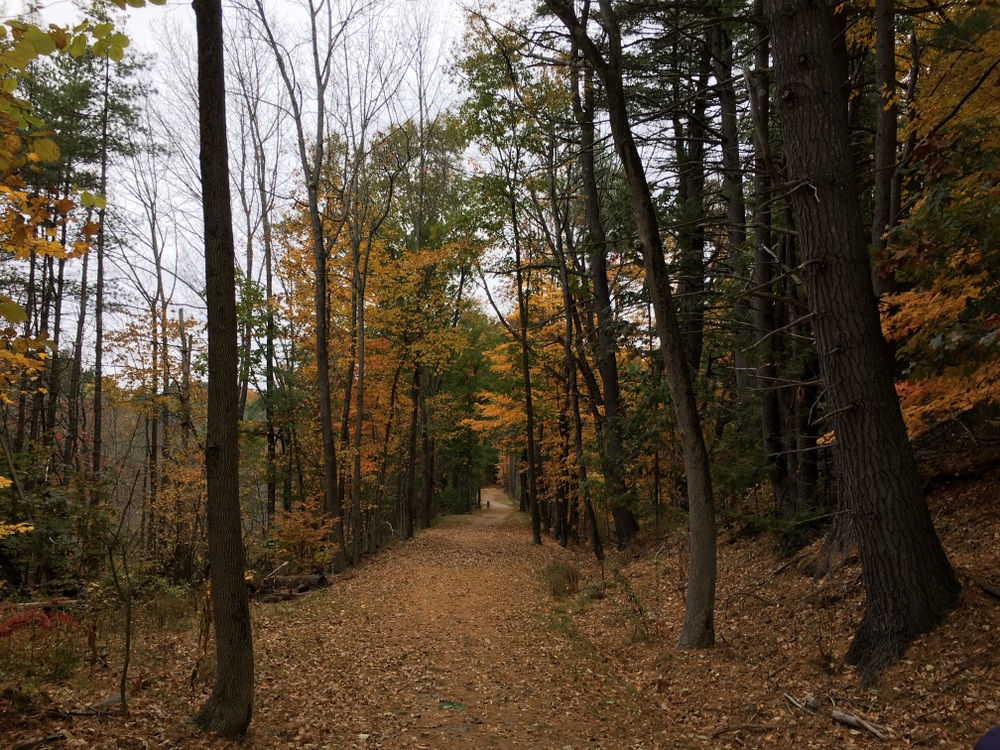
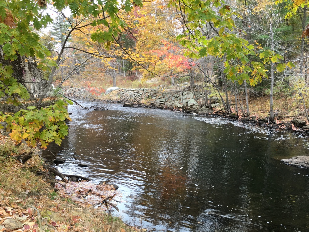
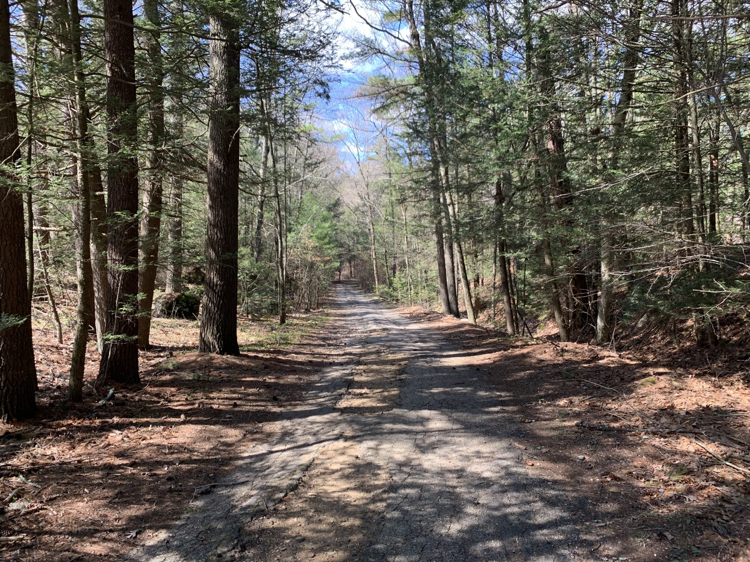
I have a soft spot for how this trail started — a descent into the woods on what was once an asphalt road.  There’s something about an overgrown, crumbling remnant of an asphalt road that makes me think of how fleeting some of our impacts are.  I think back on decades past when cars drove on what is now a footpath.  Decades from now, what will be different?  Who can say?  There is some of this nearby in Opacum Woods, and I’ve also gotten similar vibes hiking out in Western MA years ago. 

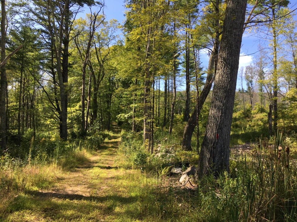
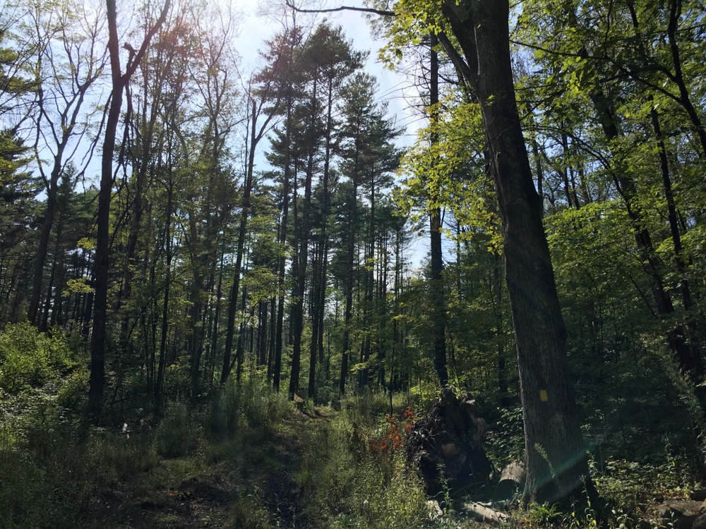
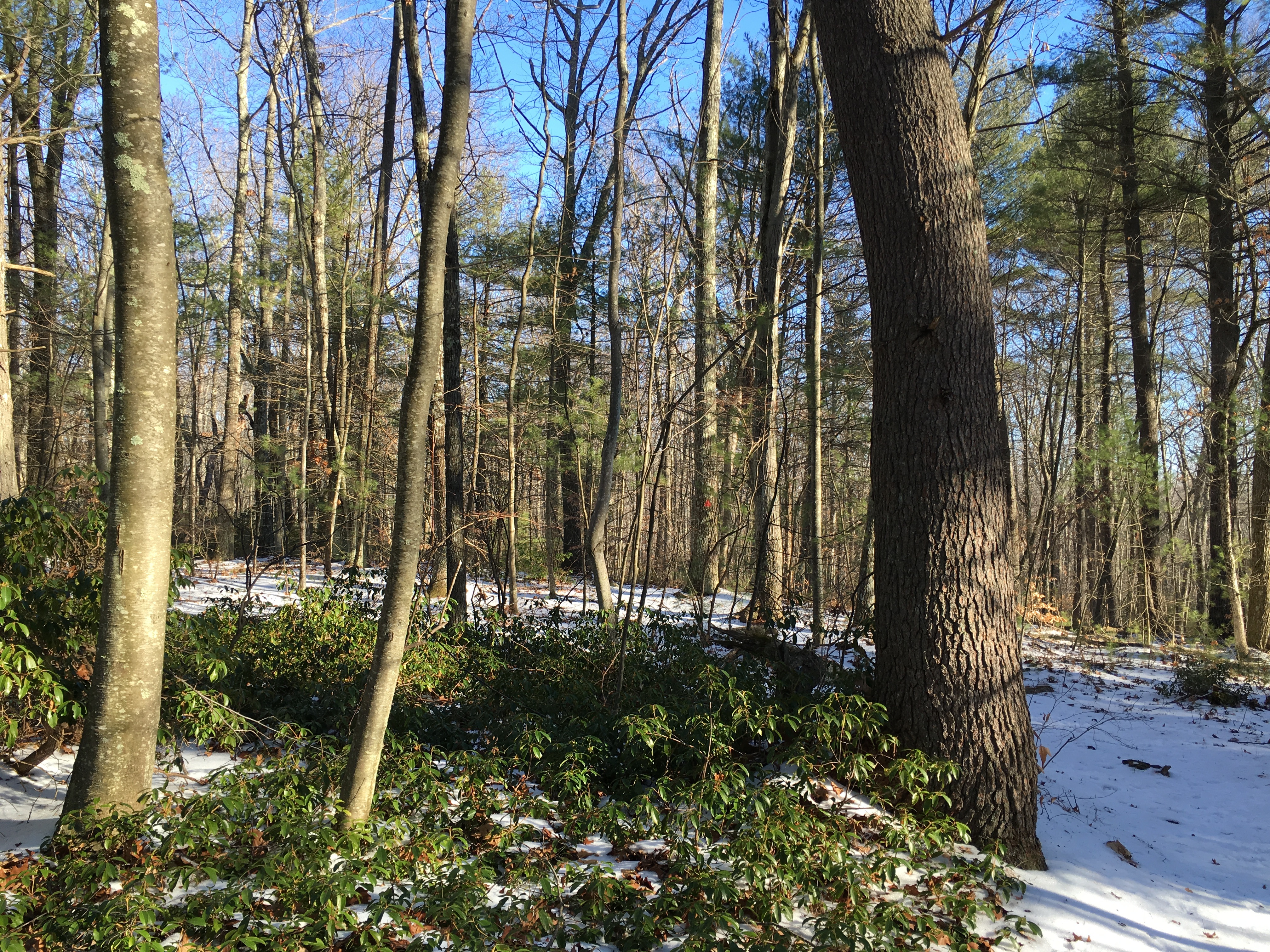
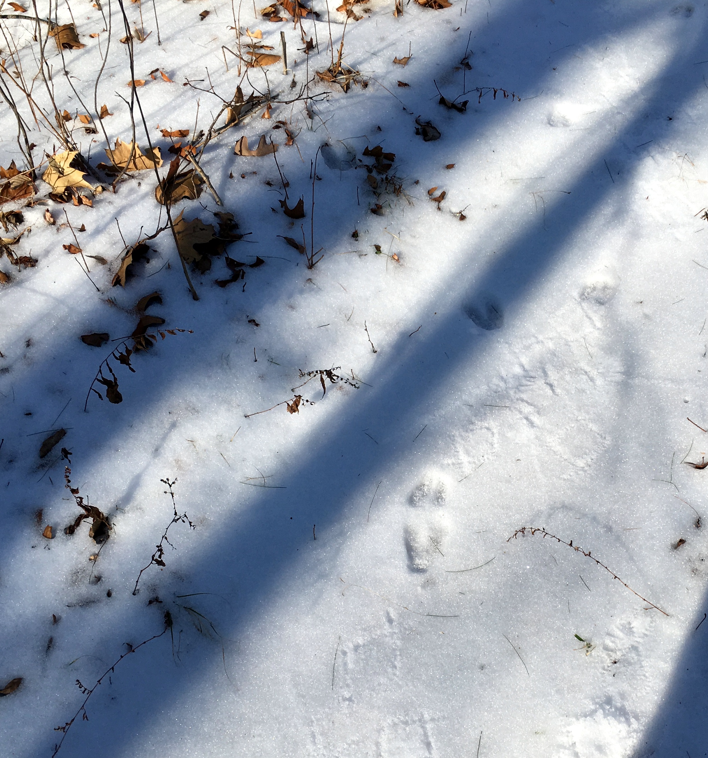
Our hike started in the morning and while the trails weren’t empty, we had plenty of space to appreciate our environment without running into too many other people.  We saw a couple people with their dogs, some individuals hiking at speed, and some couples out for a stroll. 

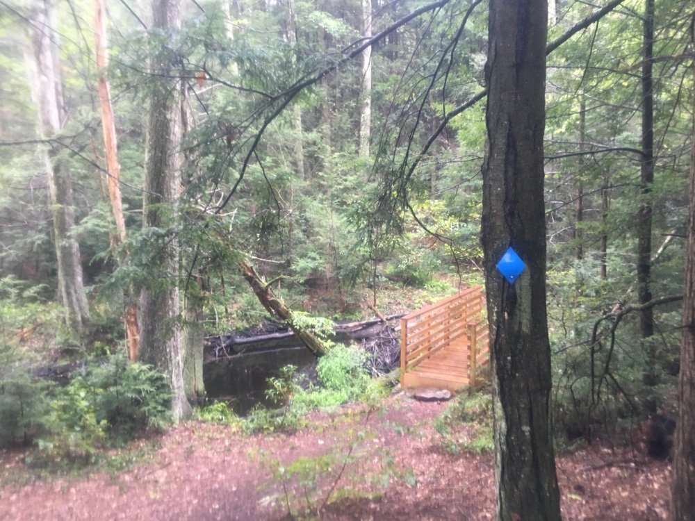
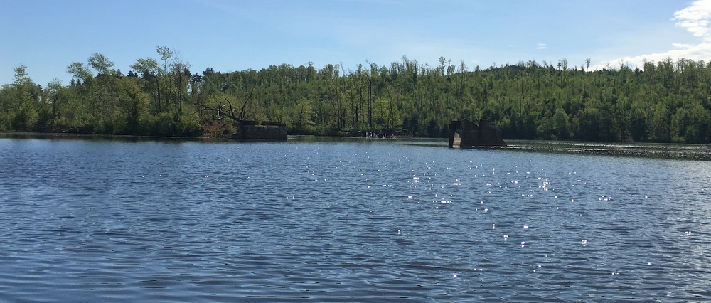
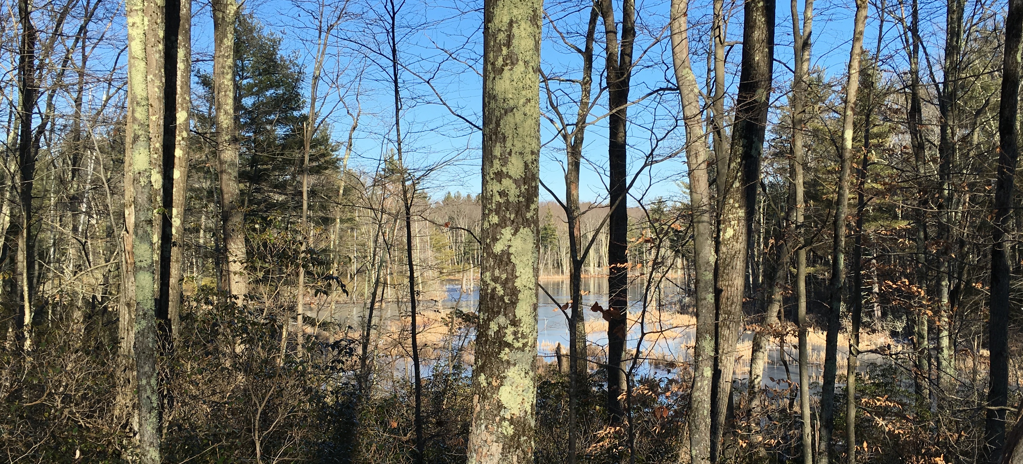
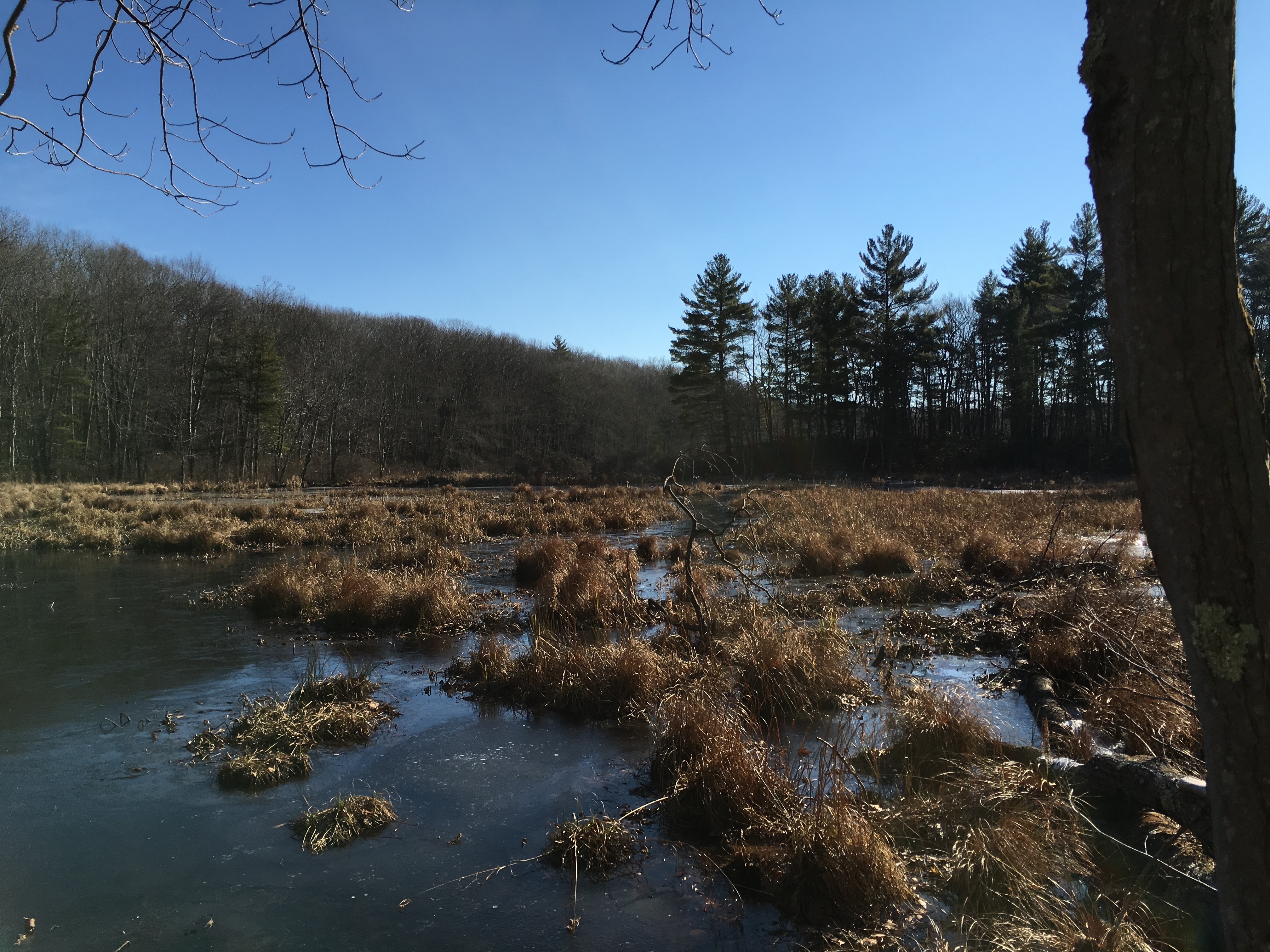
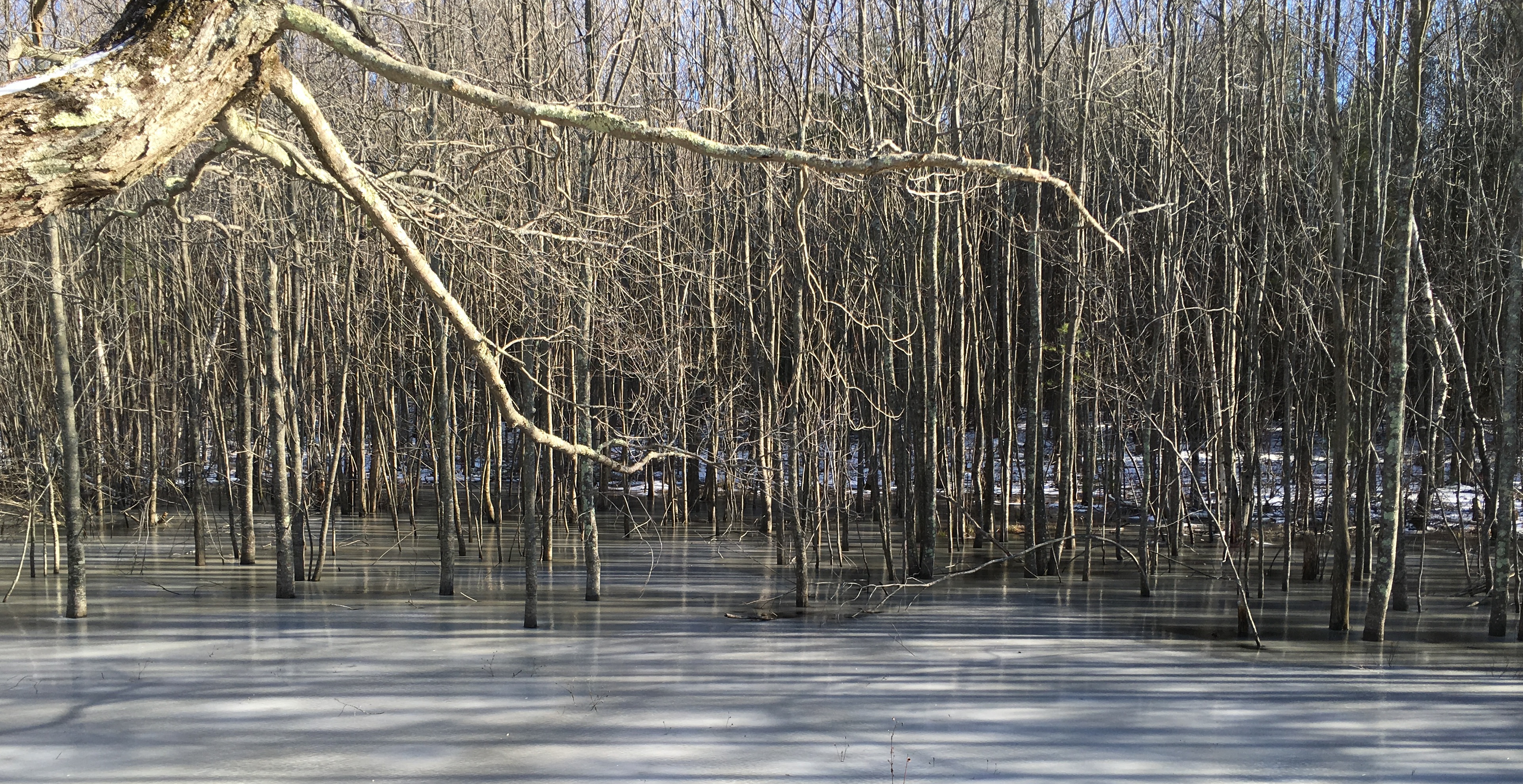
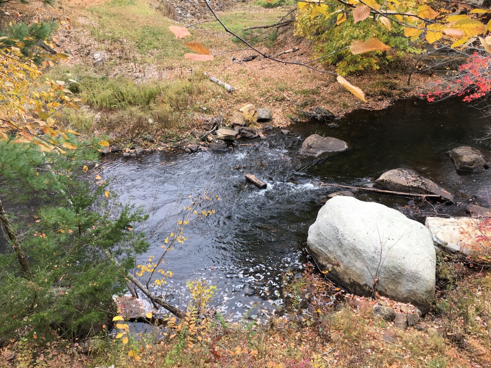
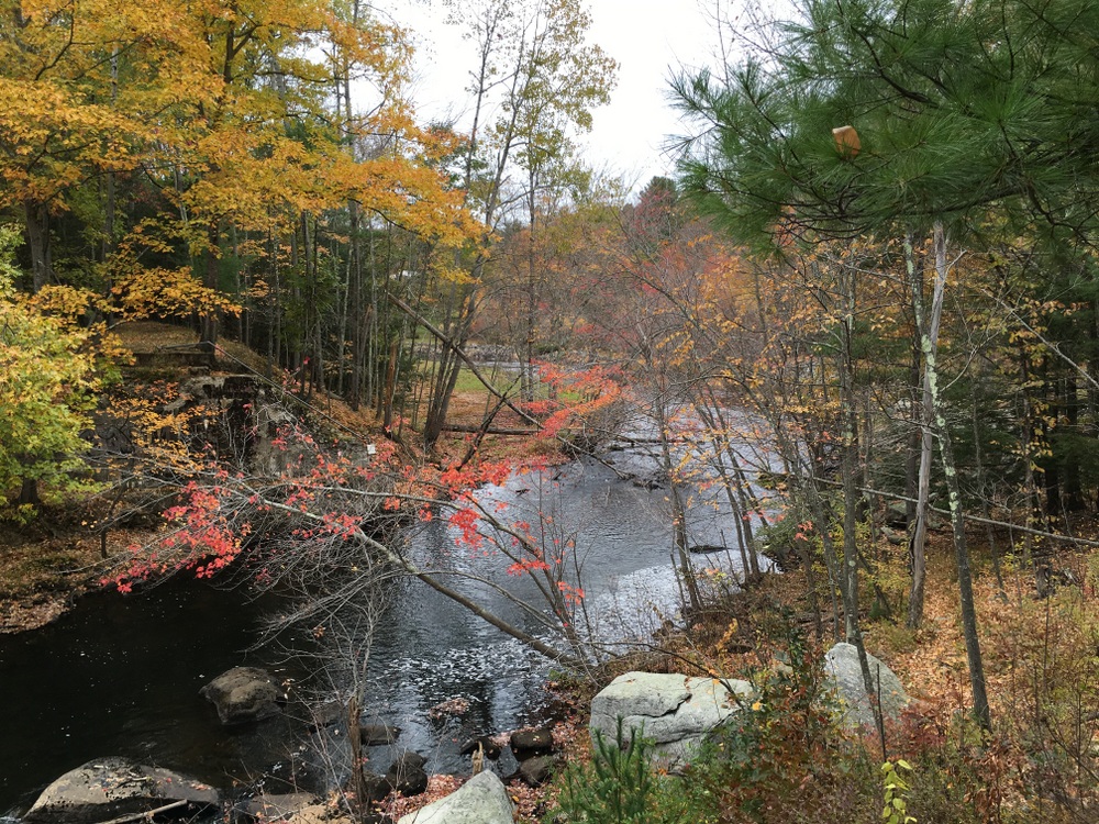
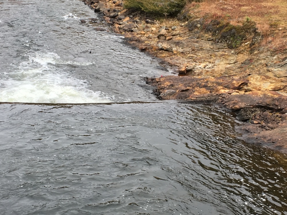
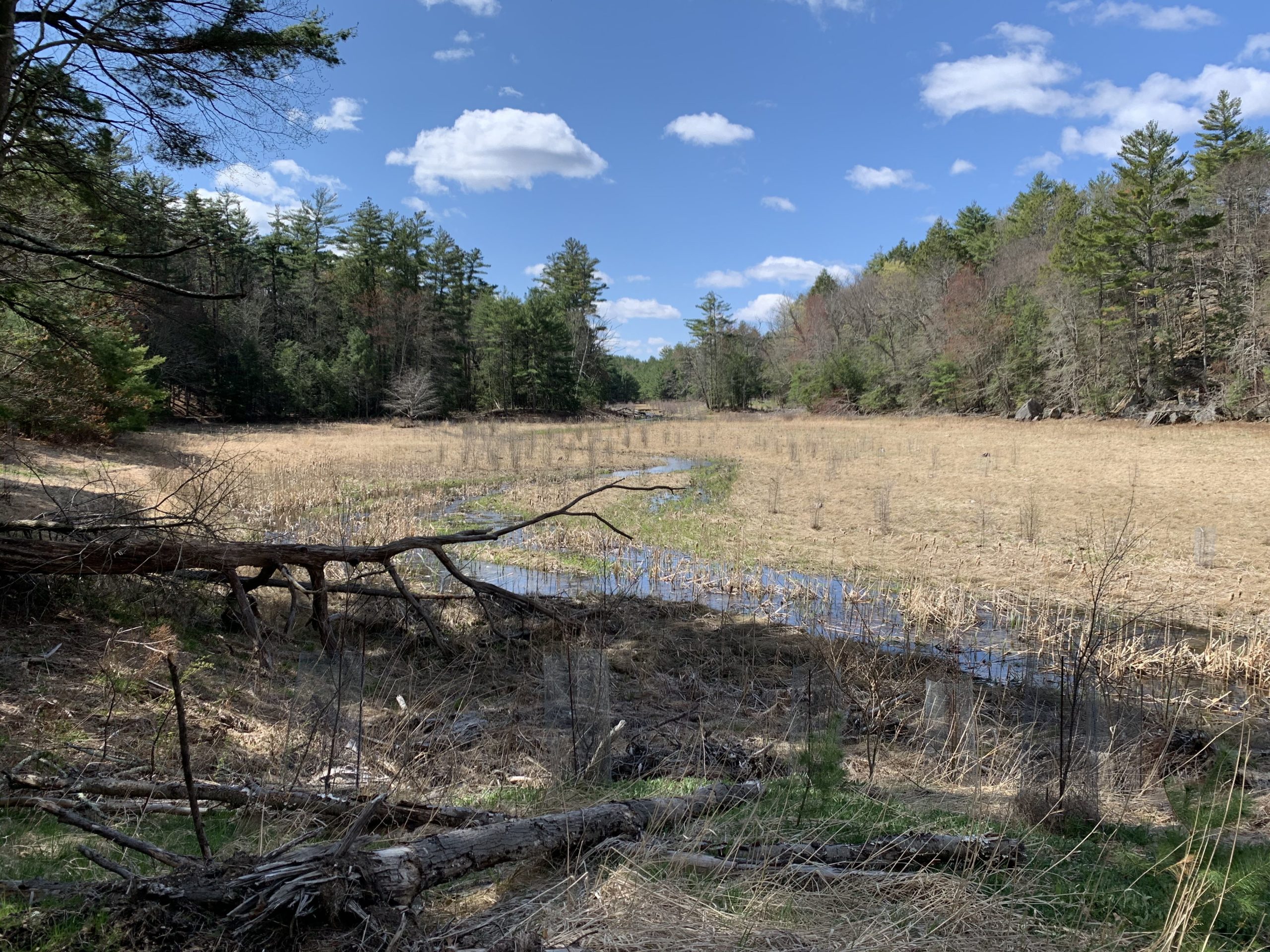
We had a rough idea of where we wanted to go, but hadn’t really researched it.  Faced with our first decision of the day, we headed north along the Arbutus Park loop.  It was an easy walk along a wide trail beside a small stream.  Turns out, this whole area had been a camp and the stream had been dammed up to make a swimming and boating area.  Now, the dams were destroyed and the area was being returned to its former natural state.  Signs spoke of hope for a return of brook trout here, and that put a smile on my face. 

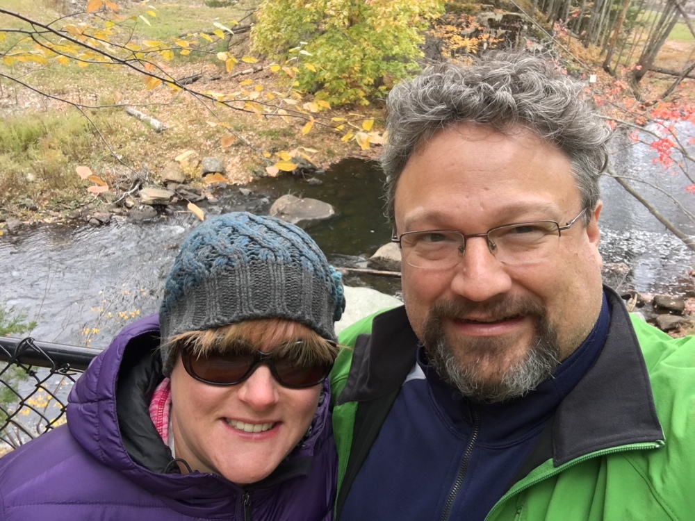
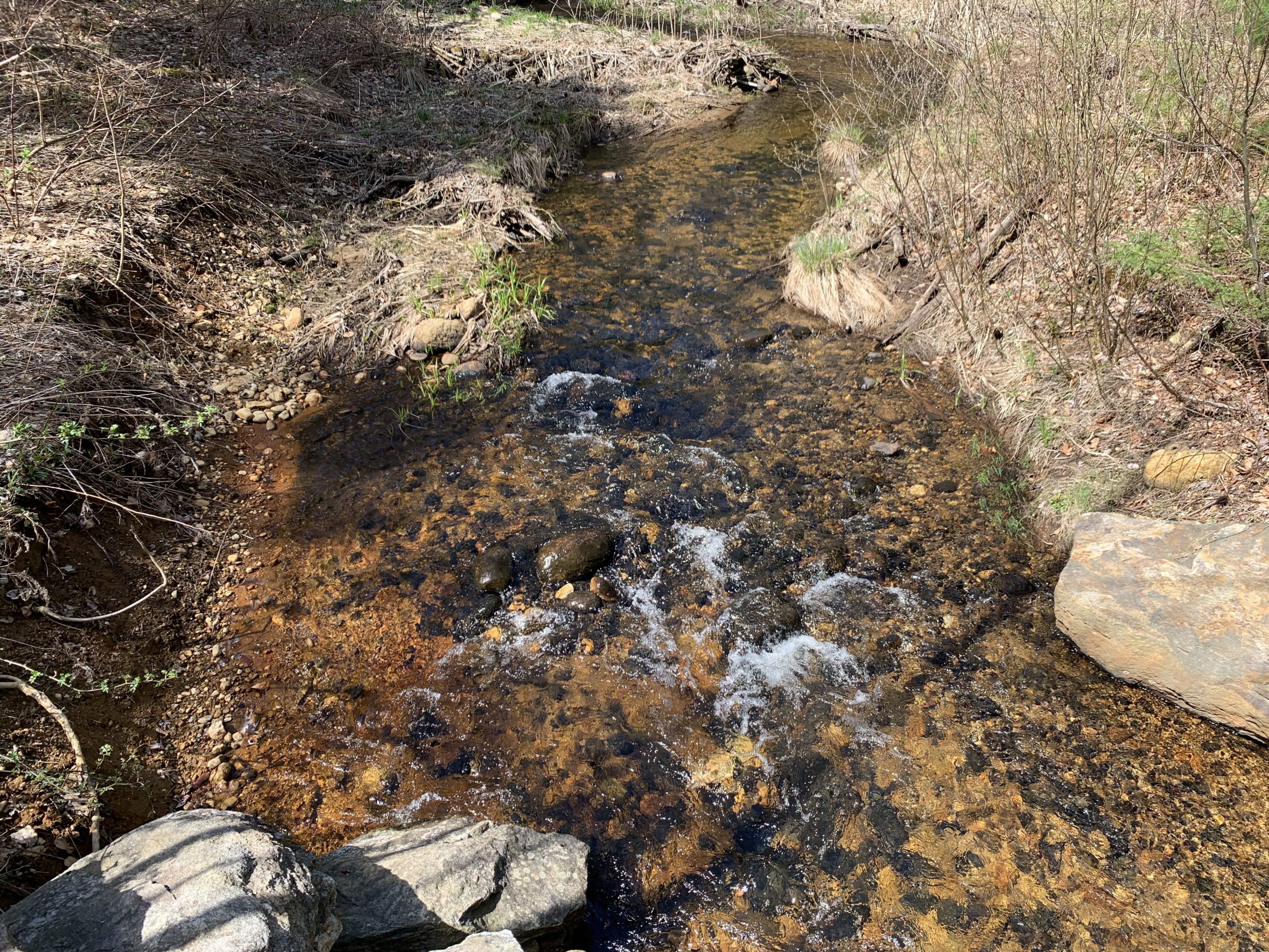
We admired the newly wild areas near the stream and Evie followed a snake around for a while after disturbing his rest in a sunny patch.  I stepped down from the trail to the stream and enjoyed a bit of relaxation as the water bubbled over rocks and downed limbs.


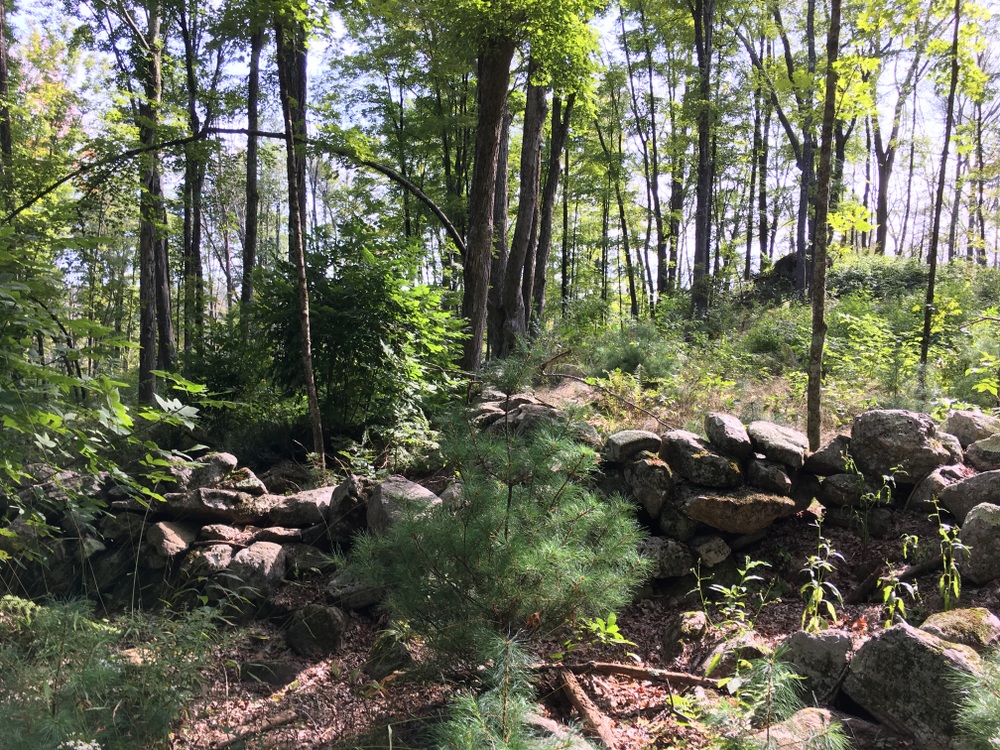
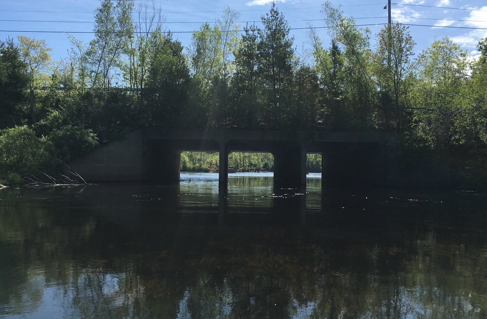
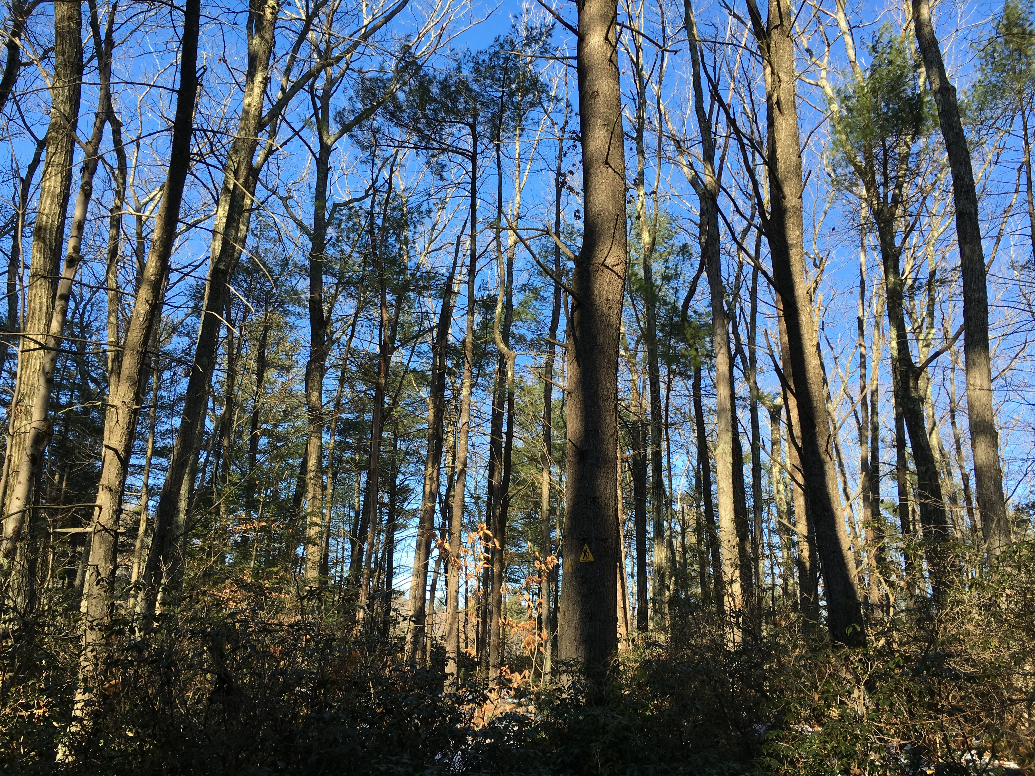
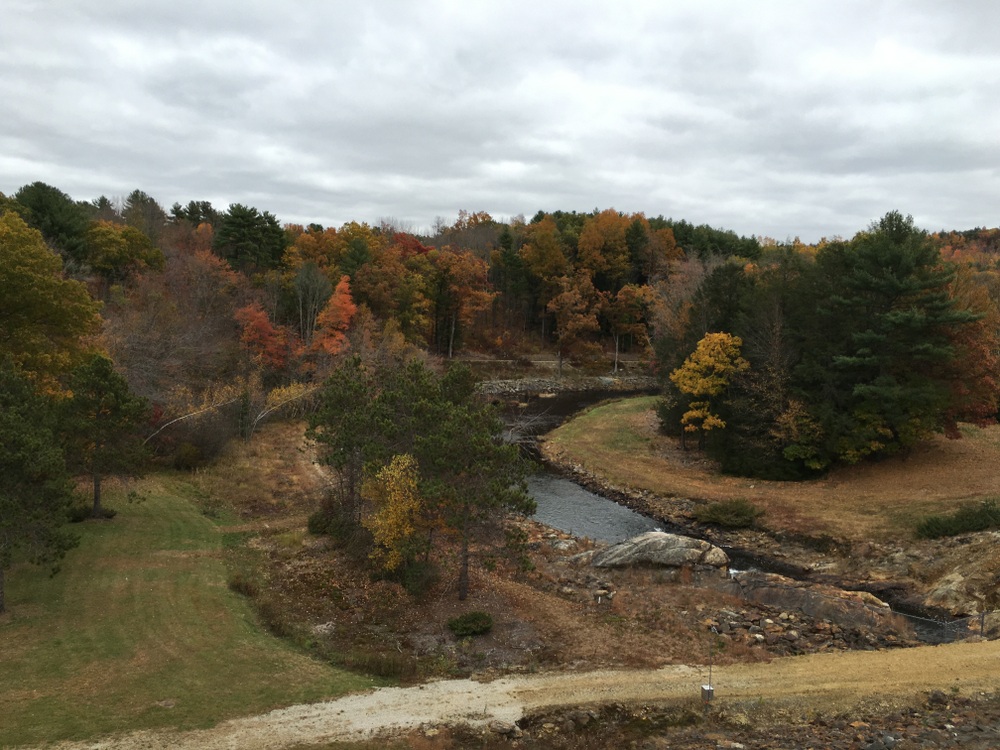
We continued along the trail, passing right by Old Sturbridge Village’s solar farm.  We had thought we might see the famous lagoon along this section of the trail, but we had clearly miscalculated.  A path to our left promised a rigorous hike along the Knife’s Edge, and that sounded like fun.  We headed that way and were rewarded by some mildly challenging switchbacks and steeper sections. 

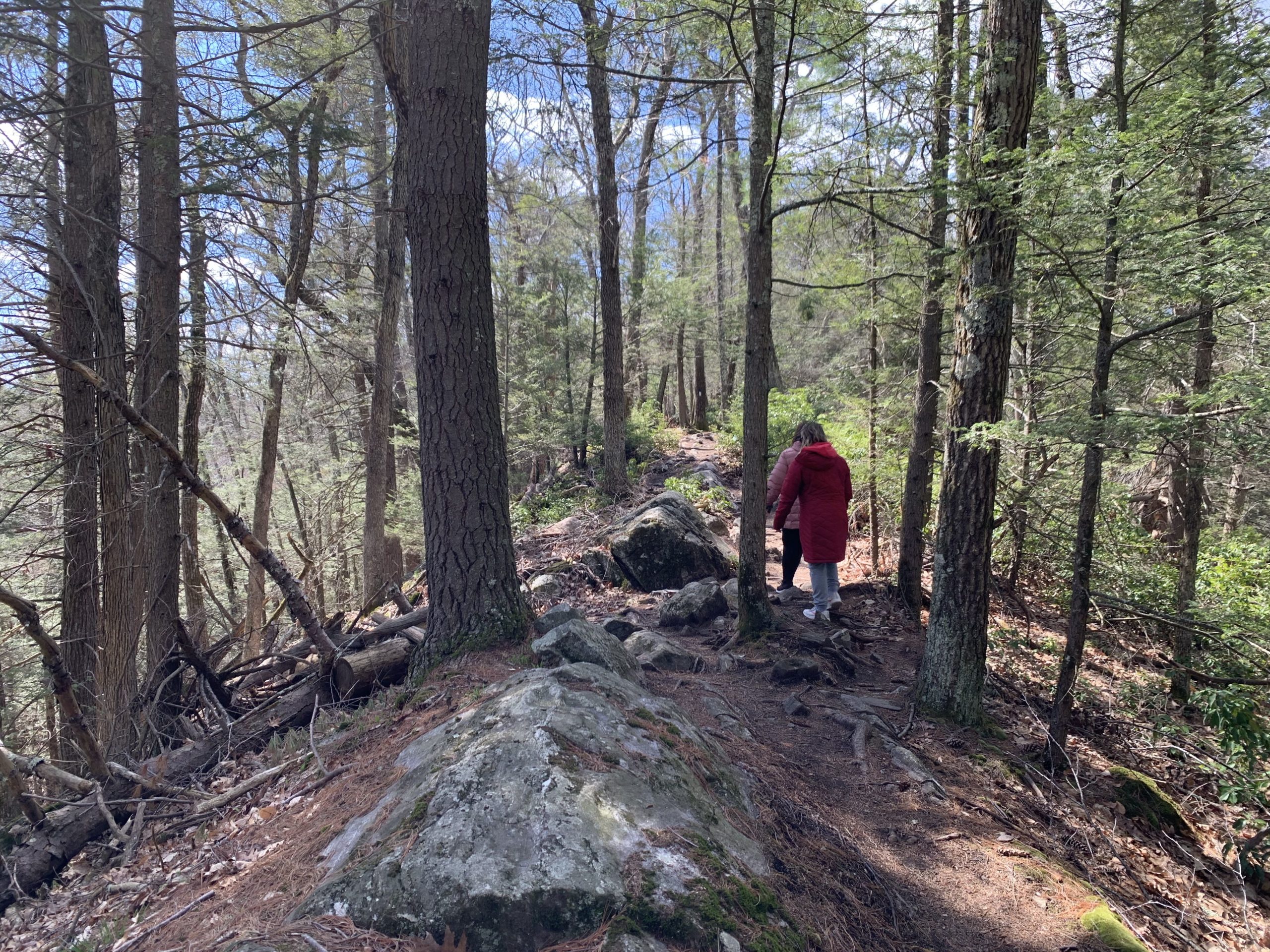
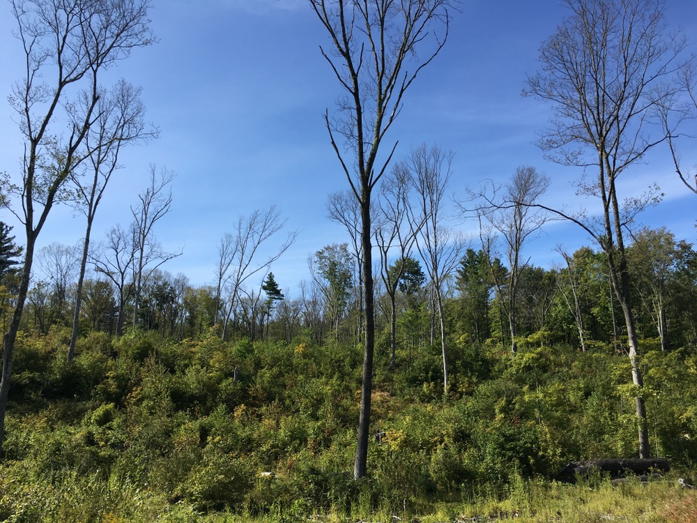
This path yielded some nice views and some more isolated natural feel compared to the abandoned road feeling of some part of the main trail. Descending from the high point of that trail, I started to feel my age (and lack of fitness).  My feet and knees were starting to feel a little beat, but I knew how short this trail was and was not concerned.

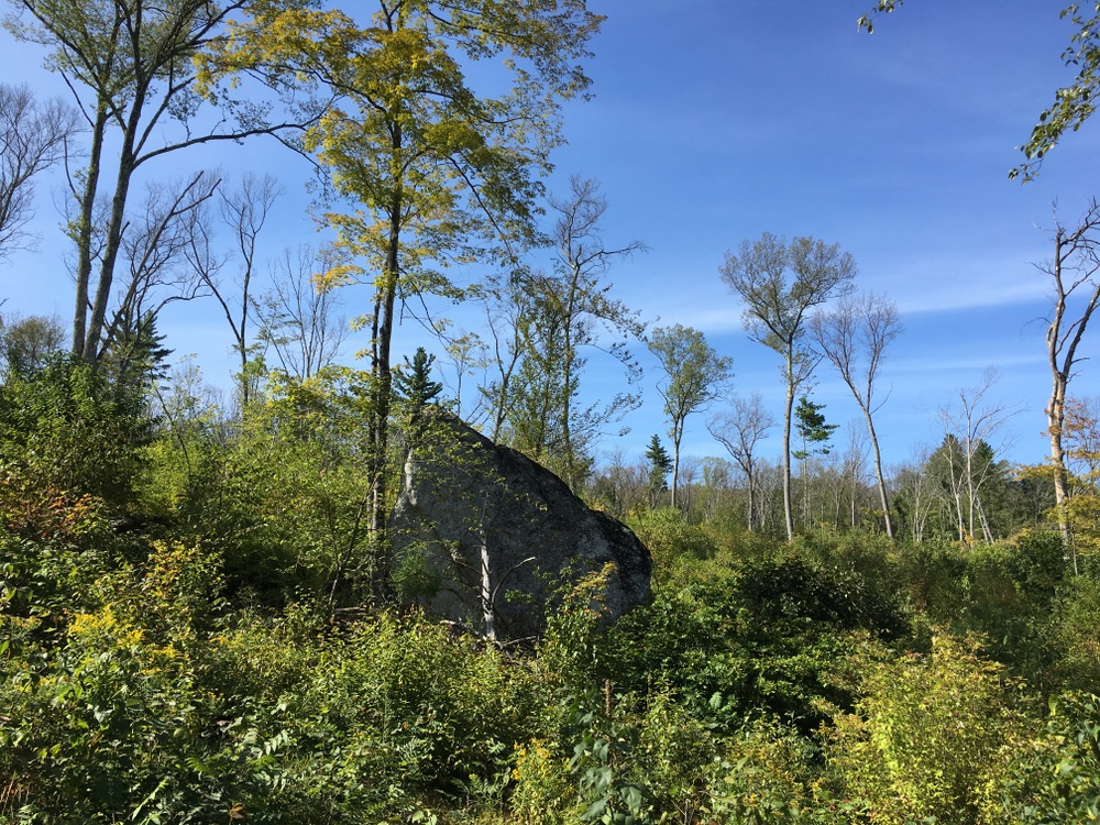
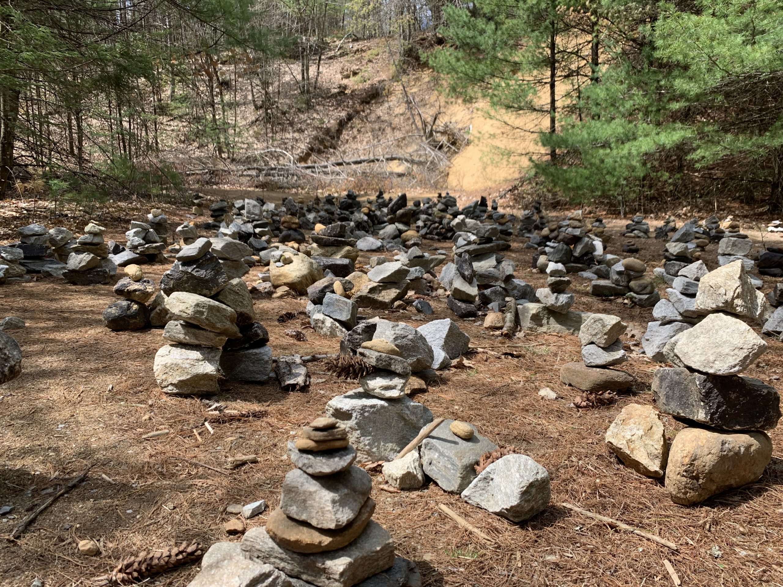
We ended up back on the main loop and stumbled onto a massive clearing where dozens of cairns had been set up.  We admired the view and took some photos before moving on.


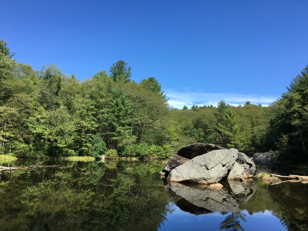
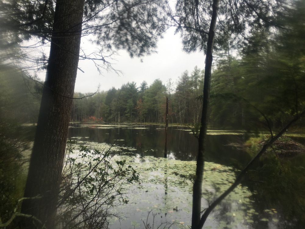
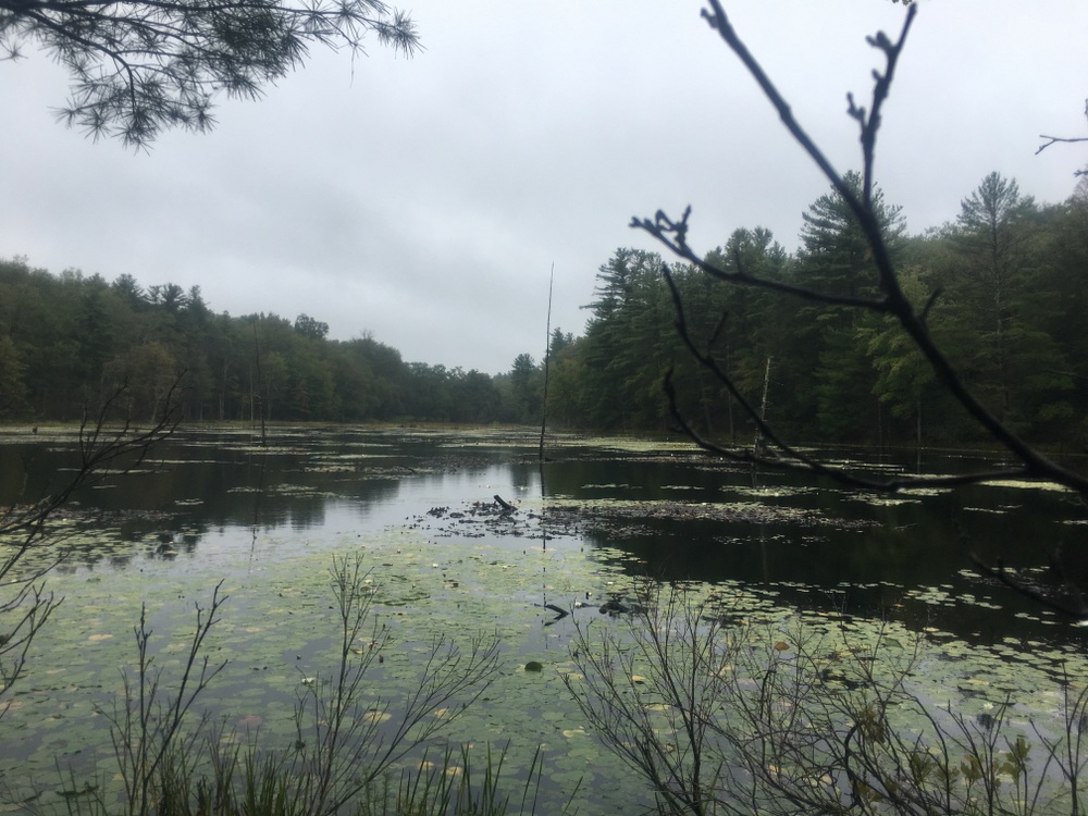
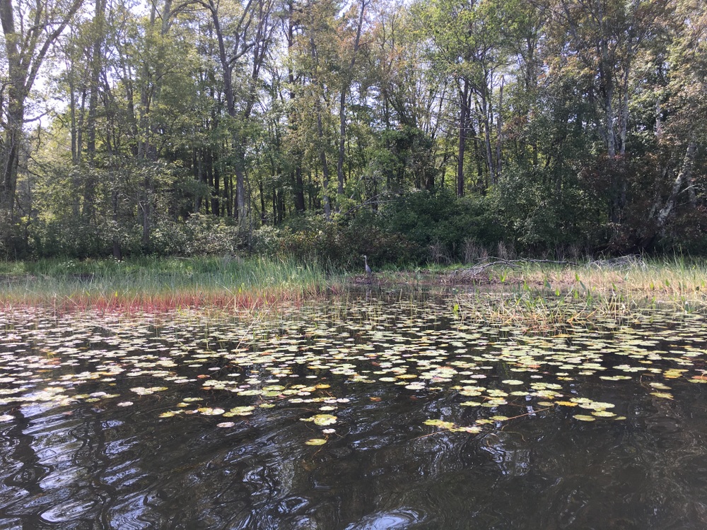
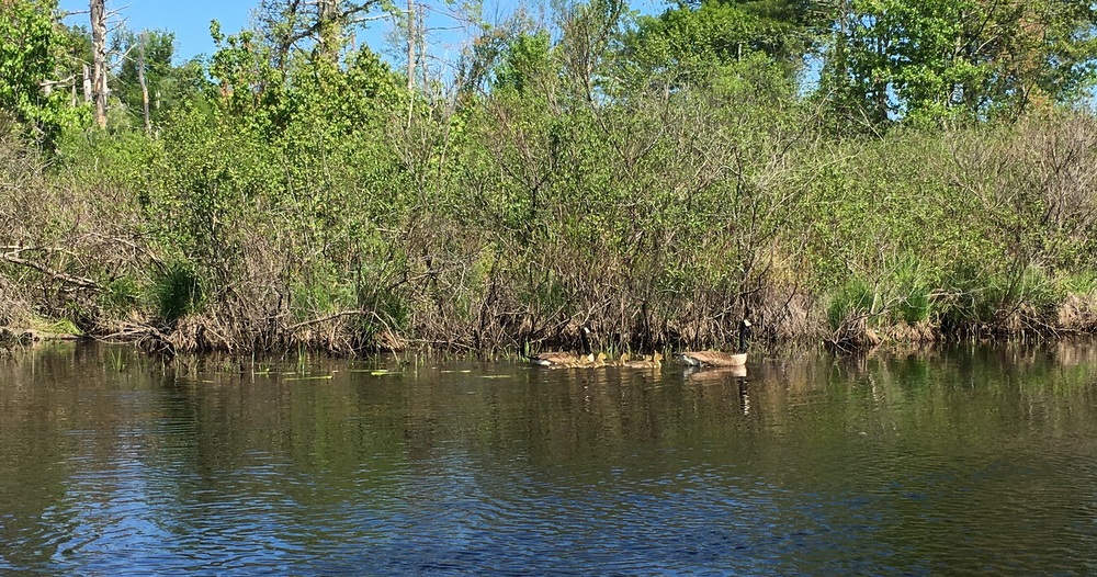
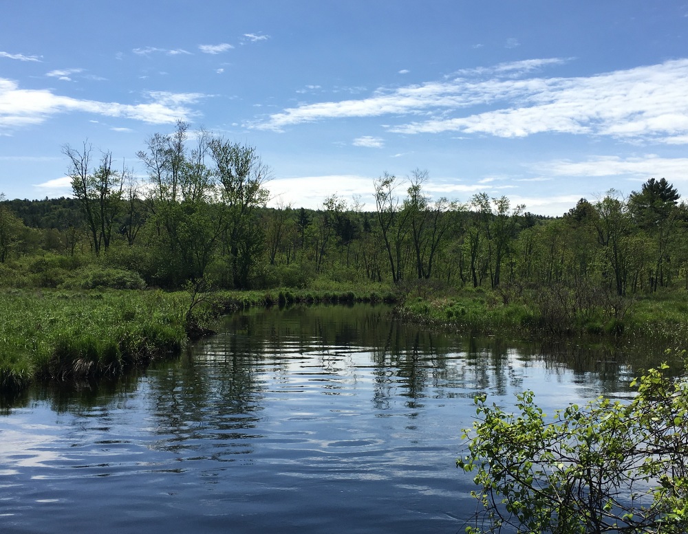
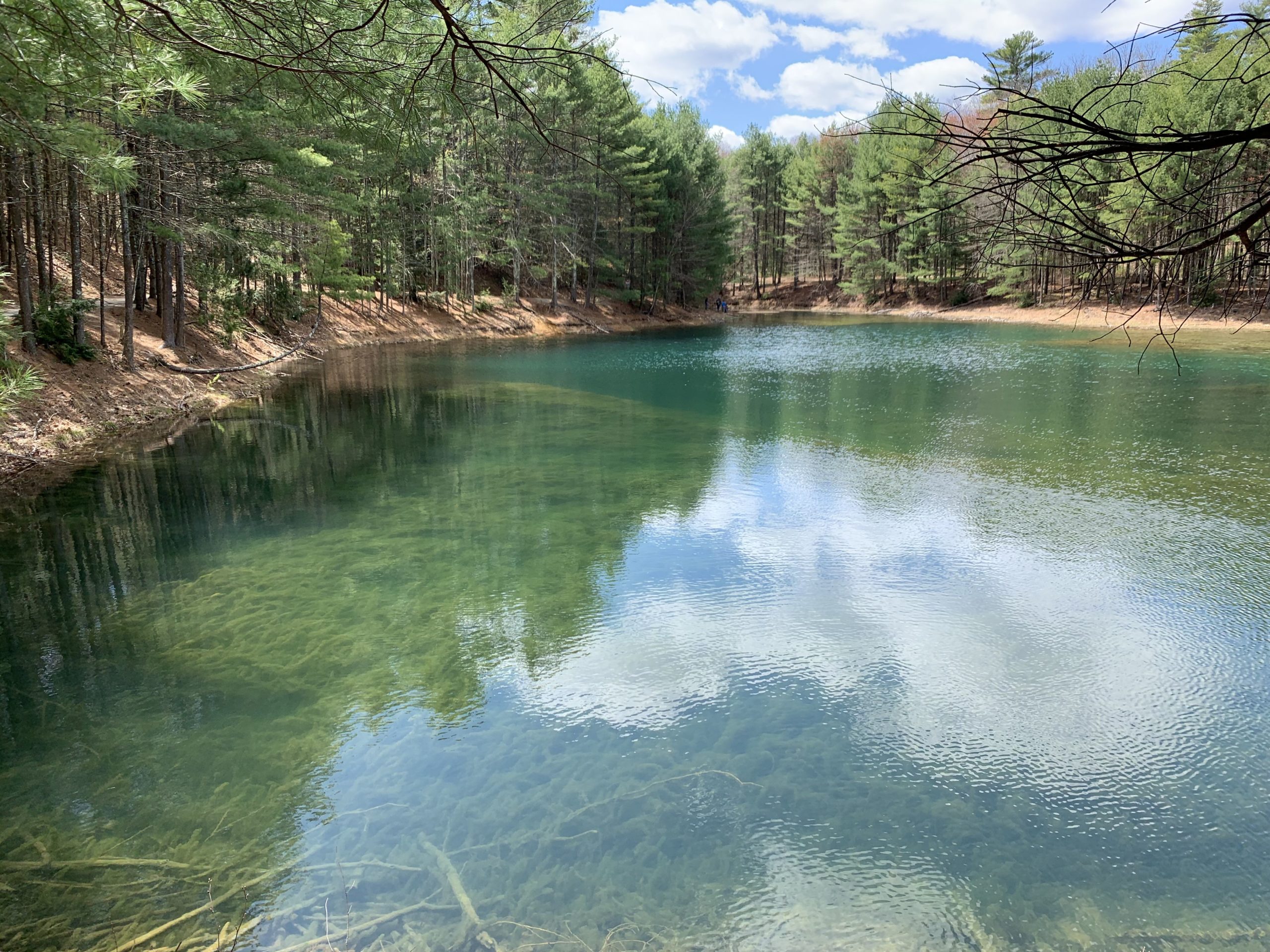
Then, we saw it — the fabled Blue Lagoon we had heard rumors of.  This pond was spring fed and crystal clear.  The sun kept slipping behind clouds, but every time it came out, the azure gem of the pond would astonish us.  We slowly skirted the pond along the trail and paused when we saw a beaver across the water from us.  We walked down to the water’s edge and watched him for a while.  He slipped into the water and paddled around a bit before making a big splash and then returning to the shore where he groomed himself.  We watched until a group of young children with a single adult arrived, and we decided to leave so they could enjoy the view without us there.

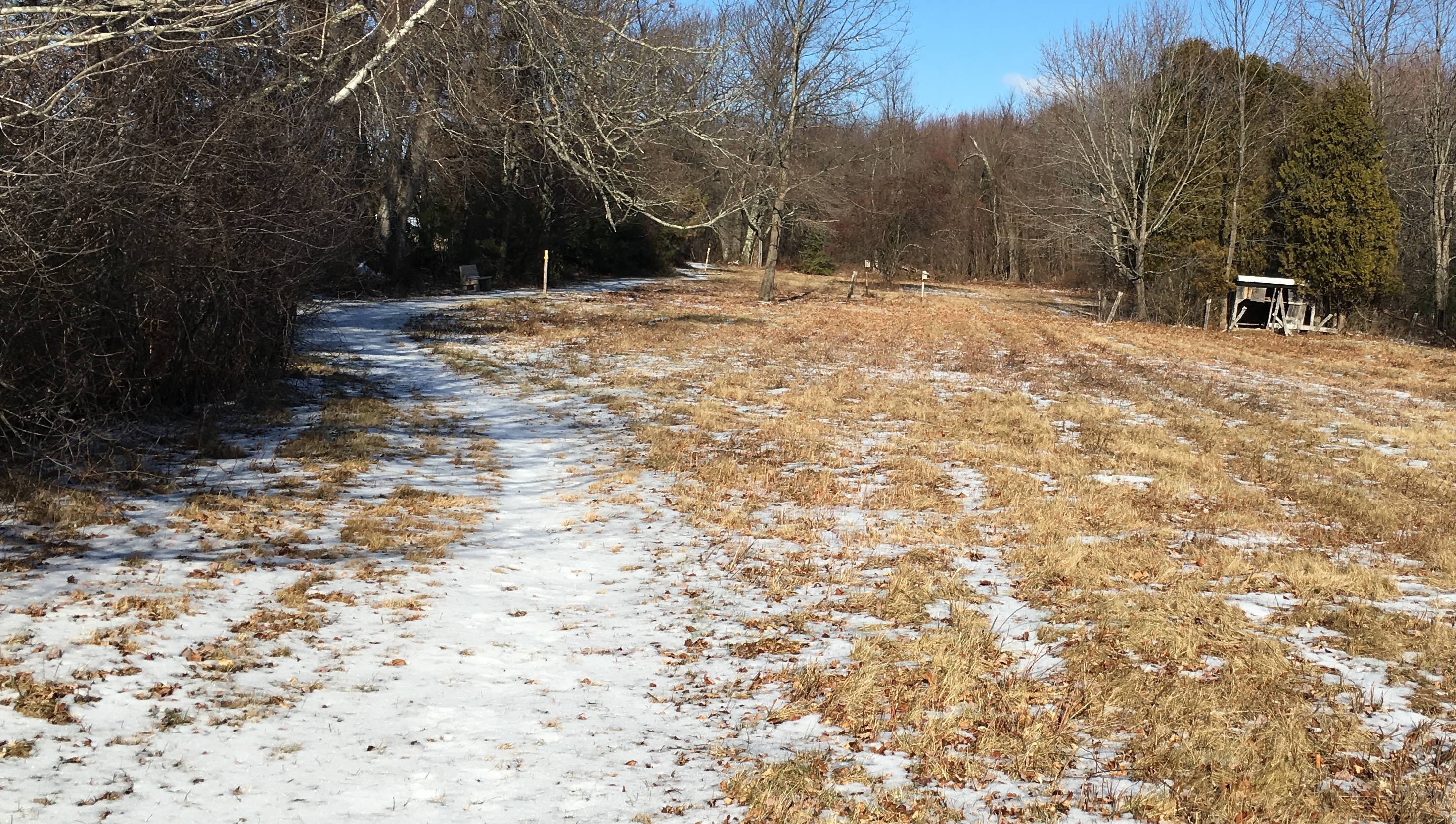
After a leisurely stroll around the Lagoon, we realized we were back where we had begun — that first “should we turn North or South” moment of the hike.  It was an easy stroll back to the car, and then off for a hearty lunch.  We enjoyed the rest of our short weekend “away” but definitely want to get back to this trail system.  There are plenty of sections we haven’t explored yet.

Plimpton Forest (and a bit more)

Some news to start: next month I’m heading on a three night, four day hike through the White Mountains of New Hampshire, staying overnights at the High Huts of the White Mountains with some friends from work. So I’ve been gearing up and doing practice hikes as often as I can.  I have yet to do a real tough mountain hike (I plan to hit up Wachusett before the hike, but am not sure when I’ll make it happen), but this Labor Day I wanted to hike several days in my hiking boots to break them in and make sure I shook out any issues.

I had Friday off, so I started with a solo hike on a piece of property newly acquired by the town of Sturbridge, the Plimpton Community Forest.  The forest was a big win for open space advocates in the area, as numerous sources of money had to combine to make up enough to buy the land rather than letting it be developed.  It’s located next door to Hamilton Rod & Gun, where I’m a member (the club and its members were instrumental in getting the land protected), and also connects to two other open spaces (Wells State Park and the Wolf Swamp WMA).  It creates (or, perhaps, preserves) a continuous tract of open land, great for outdoor recreation as well as wildlife habitat preservation.

There are no trail maps for the property yet, but I knew that volunteers had marked some trails two weeks prior, so I went in search of those.  There are two trails on the property right now, one marked with red blazes and one with yellow.  The red trail starts up a fairly steep hill, and is obviously along an old road in some spots as it’s fairly wide.

The trail goes through some sections which have been logged but also trails along some beautiful old stone walls.

There are also some muddy parts, which I’m guessing will be quite marshy in wetter weather.

The red trail was clearly marked and easy to follow, and it was obvious when it ended. Signs marked the property boundary, and according to my GPS I was close to a stream crossing which would have put me on private property.  I followed the red trail back and then followed the fork which was the yellow trail.

The yellow trail was much narrower and windier, with some slightly challenging terrain in spots.

The yellow trail goes through some open areas which are beautiful and peaceful (there were no real sounds of neighboring roads, a nice treat for such a close-by trail).  I quite liked the lone boulder seen below.

The trail started to narrow significantly and eventually the markers disappeared. There was no sign that the trail had ended, but there were no more blazes and no path to follow. I believe there is more work to be done here.

Doing both trails added up to about three miles of peaceful hiking.

But … that wasn’t enough.

The next day, Jessica and I took a short hike through the woods at the Rock House Reservation, a favorite of ours for many years.

And the day after that, in fairly steady rain, I took a solo hike through Opacum Woods, a beautiful property I’ve explored plenty of times.  It offers a variety of terrain types, interesting things to look at, and the trails loop instead of being out-and-backs.  The only complaint I have about Opacum is that it’s directly next door to one of the busiest interchanges in the state (I84 + I90) and the highway noise is constant.  As the trails here are fairly simple, I won’t narrate the whole hike, but I did the full loop and the highlights are below.

(Note, my waterproof hiking boots were fine in the rain, but my water-“resistant” jacket failed miserably.)

And as if that was not enough, after three straight days of hiking I went for a fourth day of outdoor activities with a long kayak trip with a friend.  We hit Quaboag Pond from the south and fought the wind and even did a bit of fishing.

Four days off from work, and four days of vigorous outdoor activity.  I can’t complain.  Even if I wasn’t training for a big hike next month, I’d be enjoying this, but knowing it’s getting me ready for this adventure, it’s even more rewarding.

Quinebaug River Trail – East Brimfield Section (Kayak)

For the past two years, I’ve wanted to take a kayak or canoe along the Quinebaug River Trail between Lake Siog and the East Brimfield Reservoir. But whenever I’ve had the time, the river’s been too low, whether because of drought (last year) or just general late season low flow.  But this spring has seen enough rain to keep all the nearby rivers fat and happy, which made for a great opportunity.

With a solid half-day available to me this past weekend, I got everything ready the night before, so I could roll out of bed and into the car first thing Saturday morning. We’d had a few hot days in a row but the temps had fallen overnight and it was in the upper 40s as I drove to Holland.  I again cursed the low clearance and bad angles on my otherwise well-loved Mazda 3; many of the roads to parking areas for trailheads or fishing spots make me wish for something with a bit more room for error (we’ll see what my next car is). After I navigated the potholes and ruts and got to the parking area, I found a few cars and trucks already there at 7:10 AM.

I got to work unpacking the car and loading the boat with fishing equipment.  I’m still getting used to my load-out. The kayak can handle a ton of cargo and so I tend to bring a ton of cargo … but sometimes it’s all a bit overwhelming.  Either way, I was on the water by 7:30, after waiting a bit for some kids to finish getting their little flat-bottom boat off the ramp.

I paddled my way past a few other fishermen on the water, one of whom was fly-fishing from a rather small kayak.  I was impressed with his balance and form; it’s hard enough to fly-fish standing on solid ground, but sitting in a shaky kayak is another story entirely.  I was about to ask if he was having any luck when I watched him set his hook and begin fighting a small fish.

Once I cleared everybody I started periodically pausing to cast as I went.  This area is very quiet with no major reads nearby.  Near the Morse Road bridge I hooked into an aggressive pickerel, who shook the lure out of his mouth just as I was pulling its head out of the water.  I love how pickerel attack and fight, but I’ve never been a fan of taking treble hooks out of their jaws.  So having one toss the lure that close almost felt like a win, even if it was a bit disappointing.

I fished for a while on both sides of the bridge and didn’t hook into any more fish, so I kept heading downstream.  I paused for a moment at the first rest area of the trail, just one mile in.  I took off my heavy sweatshirt (the sun was starting to peek out and the paddling was keeping me warm) and considered changing out my terminal tackle, but decided to leave the simple spinner baits on I had been using.  I probably should have taken the time to switch one of my rods to a rubber worm, but my scissors were buried somewhere in the milk crate and I was itching to keep moving. (Lesson learned; attach the scissors to the life jacket — or use a snap swivel).

I continued downriver as the course grew much more meandering. I passed rest stops 2 and 3 (fairly close together at 2.0 and 2.4 miles downstream) without stopping, simply pausing in the boat when I grew tired and letting the current drift me slowly downstream. The peace and quiet was amazing; every once in a while I could hear a distant car but never the constant hum of traffic I hear from on the Quaboag and East Brookfield rivers. The other thing I was blown away by was the smell … so early in the season that dead pond-scum smell hadn’t really started to develop yet. The river smelled fresh and alive, and periodically as the river went past a particularly flowery tree I’d be overwhelmed by totally different spring smells.  This was exactly what I needed; a quiet, peaceful excursion away from civilization where I could really sink my senses into nature for a few hours.

Of course, as I paused and drifted, I came to the realization that the current was helping me quite a bit … which meant it was going to be fighting me quite a bit on the way back.  I looked at the time, made some guesses, and figured if I wanted to be out of the water by noon I had to start focusing more on the paddle and less on the fishing.

I paused frequently to take pictures and occasionally cast my line, but at this point my focus was on keeping moving.  I saw several beavers, many Canada geese, more red-winged blackbirds than I could count, and lots of turtles too.  I heard a wild turkey calling, watched little fish dart away from my kayak into the reeds, and let the rising sun soak me with warmth.

A bit after 9:30, I approached the bridge tunnel that led to the East Brimfield Reservoir.  I paddled under the bridge, fished nearby for a while without any luck, and enjoyed a banana in an attempt to inject some quick energy into my tired arms.  Then, I turned around.  It had taken me around two hours to get here with the current helping me, and I wanted to get back in about the same time, so I knew I had to push a bit.

The current was rough at first; whether it was just the depth of the water, the peculiarity of the wind, or just my own weak muscles, I felt a little doubt about how this morning was going to turn out.  But I pressed on and things got a bit easier.  I paused much less frequently, as every rest meant the kayak would start to get turned around by the current (not that the current was particularly strong, but it was certainly noticeable). Forward I paddled, until I made my way back to the third rest stop, where I dragged the kayak out of the water and took a breather, eating a protein bar and measuring my progress while throwing out a few half-hearted casts with the fishing rod.  Ten minutes later, I was heading back upstream.

I started to encounter many more paddlers who had started the day later than I had. There were probably twenty different people on kayaks and canoes between the rest stop and the ramp, most in groups, laughing and enjoying the beautiful day.  I waved and greeted them all, happily tired and feeling accomplished.

I made it back just before noon, and was back on the road, headed home and back to civilization.  I’d definitely be up for taking this trip again, though if I was going to do it round trip I’d try and reserve a bit more time for it.

There’s something calming and almost meditative about solo paddling for a few hours, with nobody to talk to, nobody to listen to, and no routine except what you set as you measure how fast you feel you need to go. It appeals to me in the same way that hiking does, with the added benefit of being able to change up the activity with fishing.  I’m already trying to figure out my next chance to get on the water.

Midstate Trail – Spencer (Solo)

On the first Sunday of the New Year, Evie and Jess made a last-minute decision to cheer on a friend at a gymnastics event in Western MA, and I made a last-minute decision to revisit the Sibley Farm / Burncoat Pond property with the intent of walking a portion of the Midstate Trail.  I’d hiked here with Jess twice before (1, 2) and both times we had mostly ignored the Midstate Trail.  Looking at the map, I realized I probably had enough time to hike the trail from the parking area up to Route 9 and back.

First off, let me again say how much I love this property.  Miles of trails on different terrain, fairly close to home and major roads, yet quiet once you’re out there, with wildlife and ponds to admire.  Take a look at the awesome map they have at the trailhead.

008

My route this day would follow the bottom trail until it reached the White Oak Trail, which I would take up to the Midstate, which I would follow up to Route 9.  On my trip back, I would stay on the Midstate back to the parking area.

Our first real snow of the season was still fresh on the ground, and was coated in a bit of ice.  I was glad for my walking stick (and in fact wished I had two at times), and I often had to tread carefully to avoid falling.

010

At first, the trails showed recent activity; boot treads and dog footprints mostly.  But the woods were quiet; I only met a couple other people despite a parking lot full of cars (again, the benefit of a large property with many trails).  In the pictures below you can see the “tags” they use for trail markers on this property, which nicely stand out in ways painted blazes sometimes don’t.

013

017

I finally found my way onto the Midstate trail, and headed North.  It was only a bit more than a mile to the road but it was not easy going due to the snow and ice.  My legs were already feeling the pressure.

024

026

The trail overlaps with the trails on this property at a few points, but still maintains its yellow triangle blazes.  Finding the trail was never difficult. Below you can see two yellow blazes and a blue one, for the same trail.  By this point, as you can see, the signs of human traffic had lessened significantly.

029

Part of what I like so much about this property is Burncoat Pond, and the beaver ponds and marsh areas that surround it.  There are numerous viewing points out to the water.  It was nice to see the water starting to freeze as the property transitioned to winter.

032

040

As the trail winds through the wetlands, there are a few areas where you have to travel on bridges to keep out of the muck (or the ice, in this case).  These were in excellent shape, having only recently been replaced (according to the fine folks on the Midstate Trail Facebook Group).

044

046

Again, human traffic on the trail was significantly less in this area as compared to closer to the trailhead.

049

However, animal footprints were becoming more common.  I saw several sets of deer and turkey tracks as well as the usual squirrel tracks. Below you can see some prints as well as what may be like prints from someone wearing crampons (or snowshoes?).

050

For a while the trail here passes by some private property with many No Trespassing signs on it.  It includes a massive field with No Hunting signs posted periodically — I saw many deer trails headed into this field as well as the property owner’s tree stand in one corner.  I imagine this family has a full freezer every year.

I was quickly approaching Route 9, though.  The trail here overlaps with Polar Springs Rd, and there is some roadside parking for those who want to hit the trail starting here.  There was a bench here and an old mostly ruined structure.

053

I walked out to Polar Springs Rd and out to Route 9, before turning around.

061

The trip back was mostly the same as the trip out, though my legs were much more tired.  I hadn’t been on a serious hike in months and I was feeling it.

There were a couple different spots to see as I took a slightly different path back than I had out.

074

At the end, I had done four miles in two hours, and my legs were complaining loudly.  But it was a great hike and covered a piece of trail I’ve always wanted to explore.

Some day I want to cover the entire Midstate Trail.  Perhaps some more point explorations of it are in order.

Grand Trunk Trail to East Brimfield Dam – Sturbridge

It seems a recurring theme that we don’t have as much time to explore the trails on our Saturdays as we used to. Real life conspires to sap away even our protected time.  And so last weekend we again found ourselves looking for a close hike which wouldn’t take up too much of our time.

We ended up driving towards one trail and stopping at another; we saw a parking area on Holland Road in Sturbridge with a Friends of Sturbridge Trails sign on it, and decided to see what it was.  It turns out, it’s a somewhat new extension of the existing Grand Trunk Trail.  This section walks along the Quineboag River to the East Brimfield Dam, and will eventually connect into the Brimfield section of the trail.

004

The trail is also labeled as the Trolley Line trail, or similar wordings.  There were two different rail lines through this section, the uncompleted “Grand Trunk” line and a functional trolley line.

009

The trail goes along the river quite a bit and might provide a nice way down to do some fly fishing (in fact, we saw an angler with waders on close to the trailhead).

019

We paused at a lookout and posed for a snapshot (as we often do).020

The trail continued along the river for a ways and eventually exited on the Army Corps of Engineers property for the East Brimfield Lake.  We’ve explored this dam area many times, including a couple fishing trips, so it wasn’t overall new to us.

029

023

However, standing atop the dam, we saw a path down below which crossed the river and clearly explored a little bit of the property we hadn’t been to before.

027

We walked down this way and were rewarded by the sight of a blue heron perched at the water’s edge looking for a meal.

034

We walked a bit more along the water on this little path, and took in the fall landscape with the soothing sound of the water nearby.035

036

It was a shorter walk than we had planned, because the map showed trail portions that weren’t yet complete.  Once the trail connects fully it’ll be a great showpiece for this section of the state.  For now, we can explore it bit by bit.