(Solo) Miller Forest Tract – Monson

This past Saturday, Jess was out of town with her mother, so it fell to me to take Evie to gymnastics and then fill a few hours on my own.  I made two important choices: I was going to pick up some beer, and get a hike in.

After packing a lunch, I first dropped off some growlers at Tree House Brewing in Monson.  Tree House is a world-class brewery which I’ve been following since they first opened in a barn in Brimfield in 2011 (they were brewing a test batch when the famous tornado struck; you can read about it here).  They’ve gone from being the area’s best-kept secret to being listed as the brewers of the world’s best American IPA by Beer Advocate. If you’re at all a beer fan, it’s worth seeking them out.  It’s worth browsing their site just to see their great beer photography.

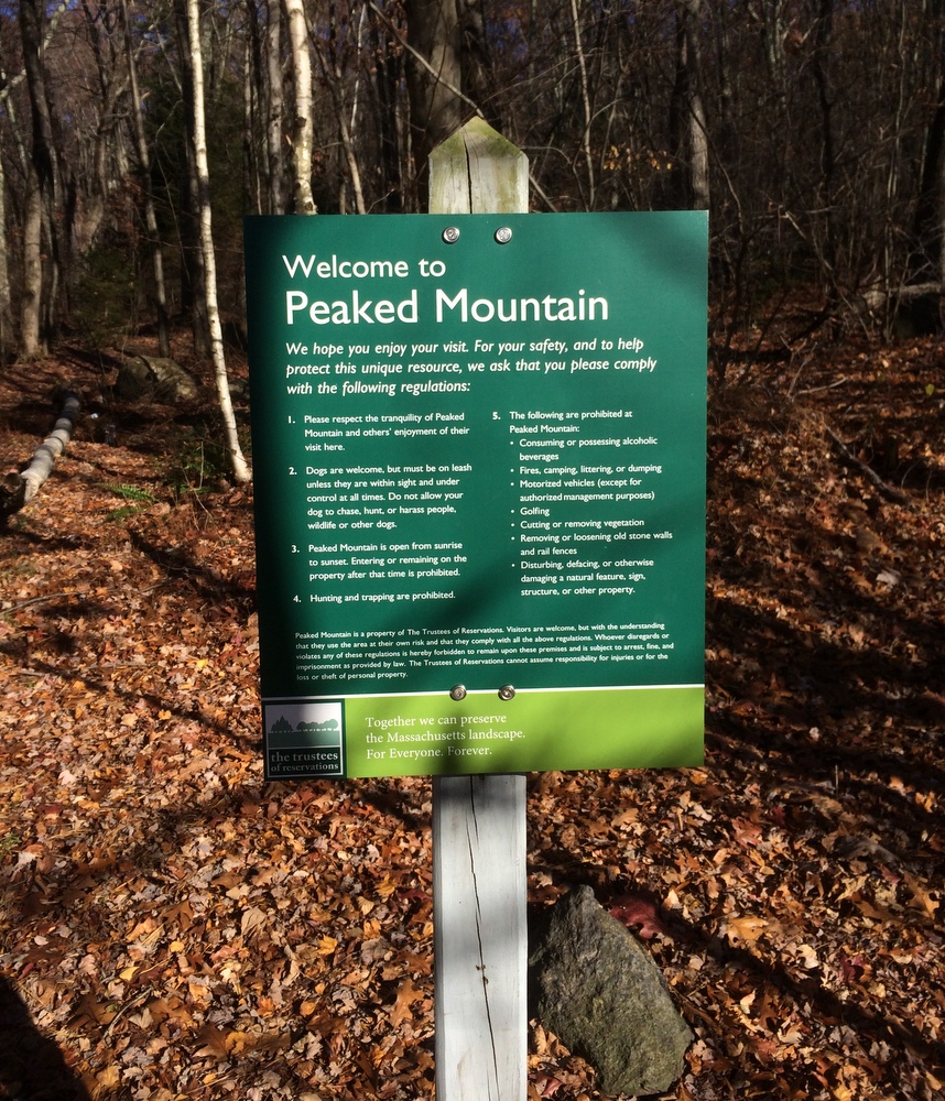
With a few hours to wait before my growlers would be full (not so secret any more!), I had plenty of time to go for a hike.  Since I was already in Monson, I decided to return to Peaked Mountain, this time visiting the nearby Miller Forest Tract instead of the primary mountain property.  I chose this property because knowing I was “on the clock” and alone, I wanted a place with clear trail markings and known terrain.  As always, the Trustees of Reservations came through.

011

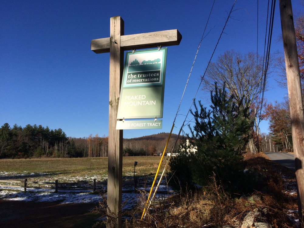
It was a chilly day. Some light snow had fallen recently and the temps in the shade were not really getting above freezing.  It was a good chance to try out my new Merino Wool socks (they worked great, by the way).  The trail begins alongside a huge field that borders the yard of a neighboring home.

016

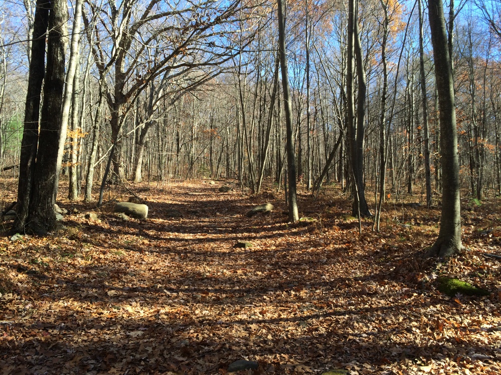
I started by heading into the woods on the Forest Loop, and then continued along the Lunden Pond Loop.  The trail starts out wide and flat, an easy and well-traveled trail.  I saw plenty of evidence of recent hikers and dog-walkers on the first part of the hike.  Where the sun cleared the trees, the snow was gone, but in areas of denser shade the snow remained.

022

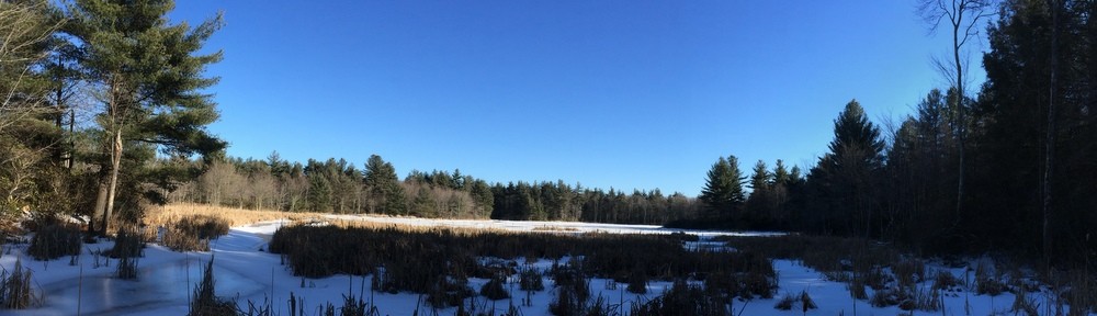
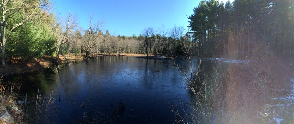
Lunden Pond is a beautiful spot; I was wishing I had saved my picnic lunch to eat here instead of at the car.  The trail first crosses over a small “arm” of the pond.  Here, the pond was enough in the shade that ice was beginning to form (you can see it below).

035

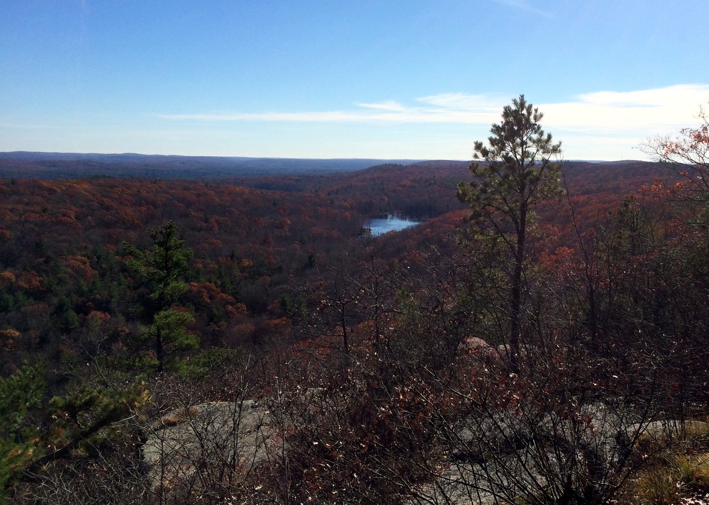
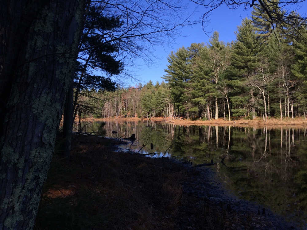
The trail then continues around the pond, and I paused frequently to admire the scenery and take pictures.

048

Others were doing the same; I saw several families, couples, and others all enjoying the sunny crisp day.

052

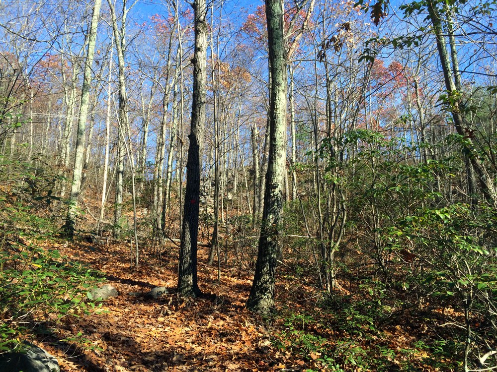
After looping around the pond, I cut over onto a less-traveled area of the tract, the Temple Brook Loop and Ridge Trail.  Things quickly got narrower and steeper, with much less evidence of human or animal traffic, but the trails were still easily navigated and clearly marked.

059

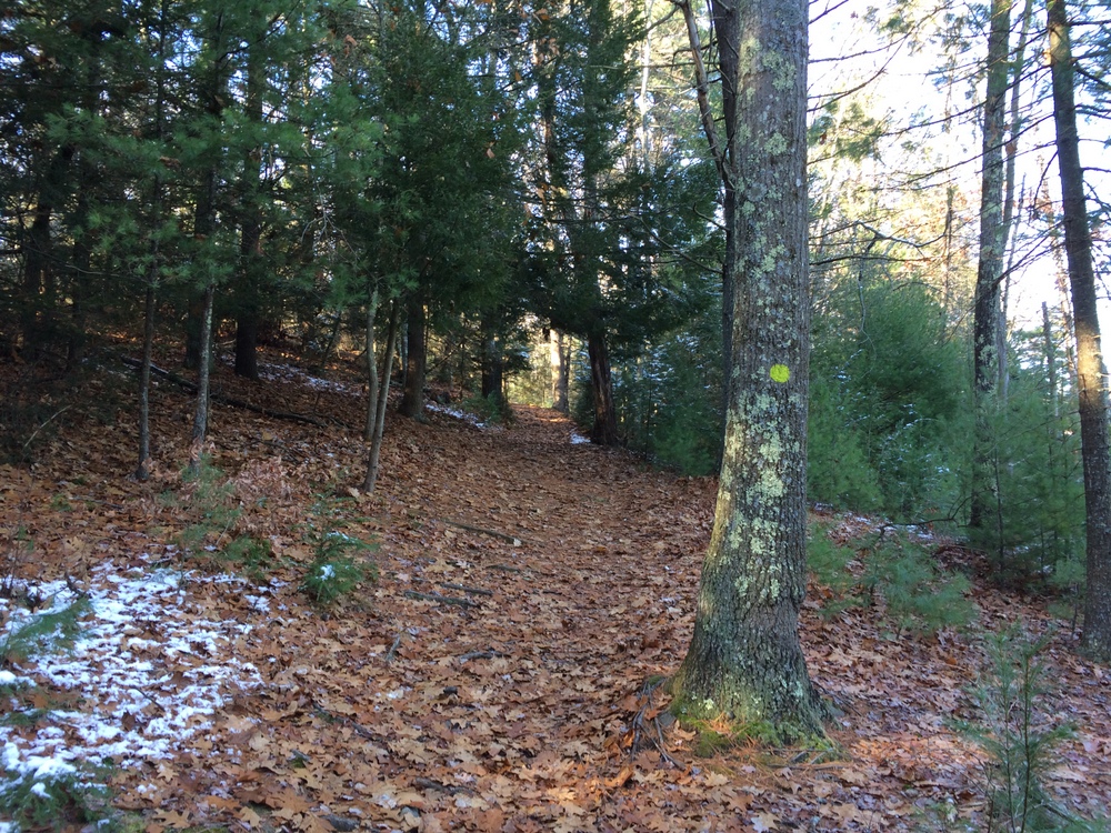
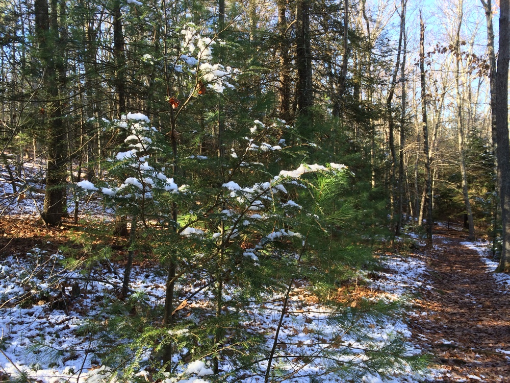
The trail went through some shaded areas which still held the weekend’s earlier snow, which made for some striking contrast to the sunny open areas near the pond.

063

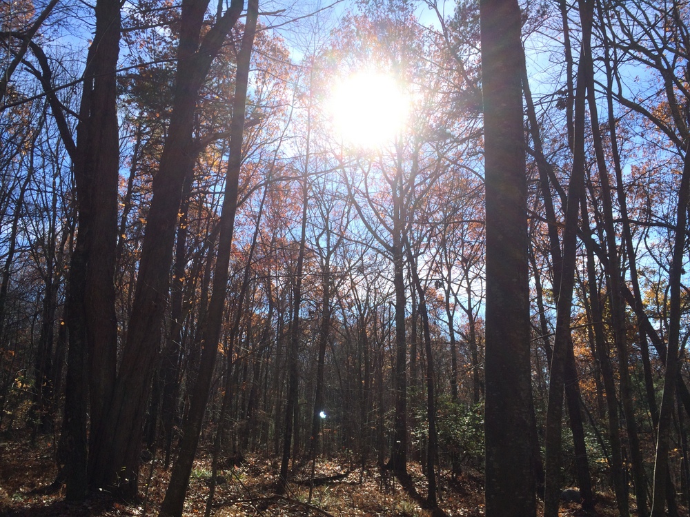
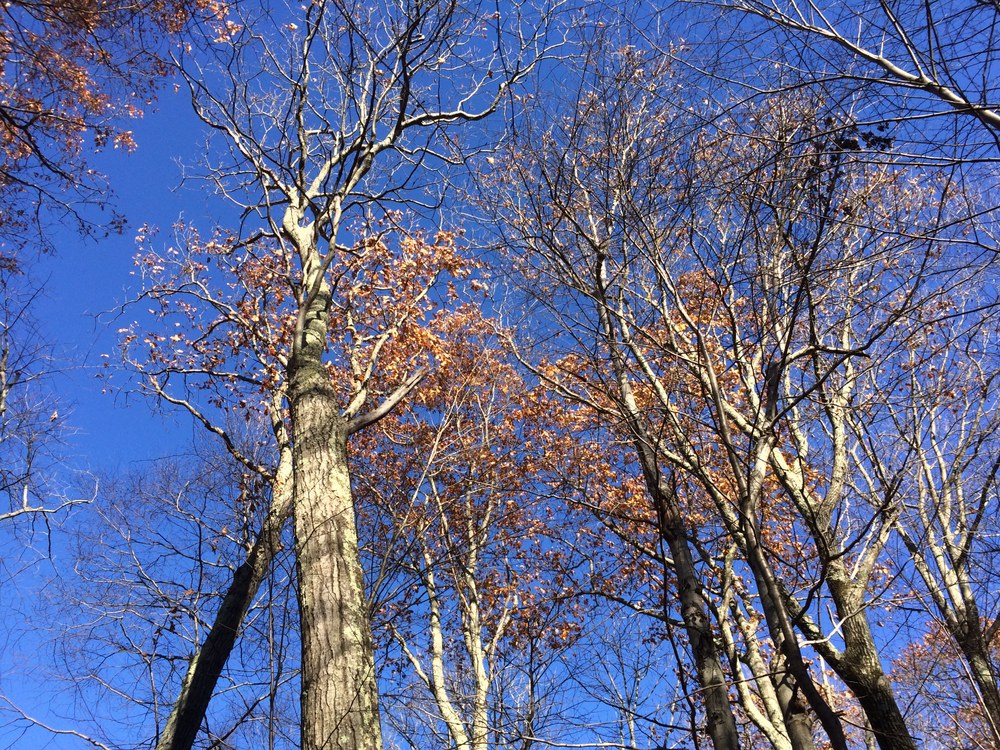
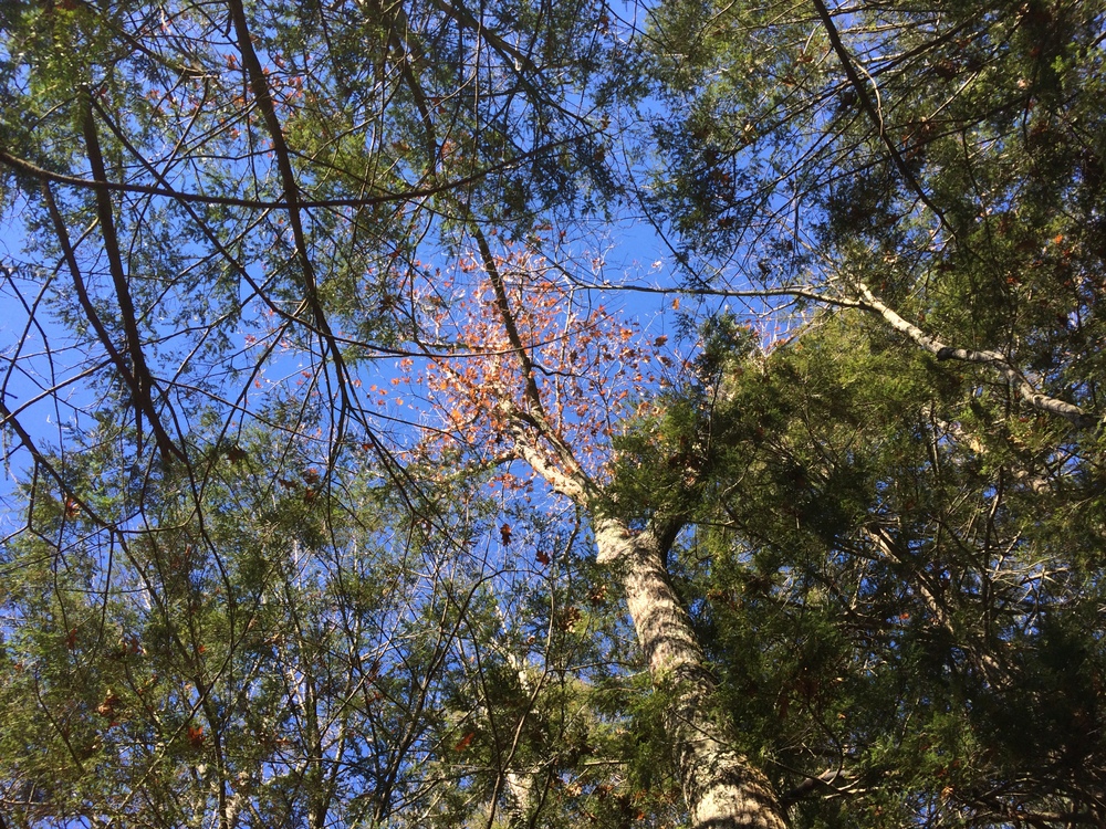
I try to remember to look up periodically, especially in the woods.  I remember reading once that happy people statistically look up more frequently than unhappy people.  Even if you can’t trick yourself into being happy by checking out the sky more often, it can’t hurt, right?

071

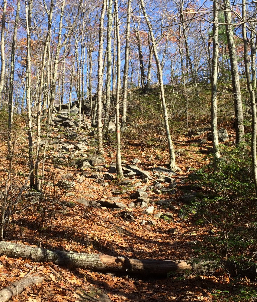
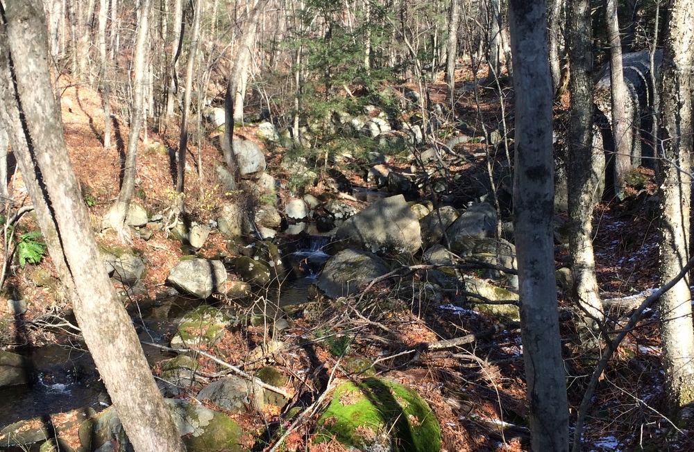
Right before climbing the ridge from which the Ridge Trail gets its name, Temple Brook Loop parallels Temple Brook for a while.  It was a lively brook, splashing over rocks.  I didn’t test my theory that the water looked pretty chilly, though.  The quiet sounds of nature were somewhat overshadowed by nearby road traffic and the sounds of a leaf blower close by, however.  It’s part of the cost of having such nicely maintained trails so close to civilization, even if it’s rural civilization.

084

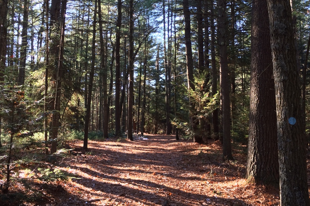
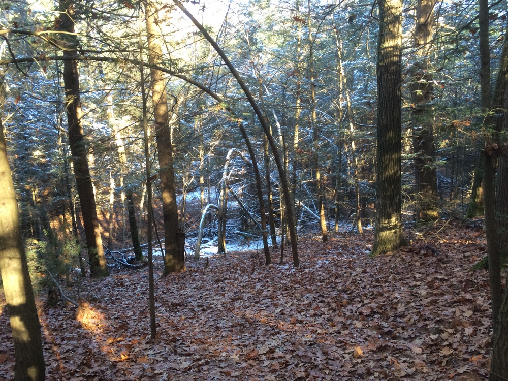
From the brook, I followed this loop up the ridge and then back down it.  I tried to capture the steep descent along the leaf-carpeted trail down into the shaded snow-filled area in the image below.  The trail was a little sketchy in a few spots, steeper, narrow, rocky and covered with leaves.  But overall it was still well-marked and not a trouble to navigate.

095

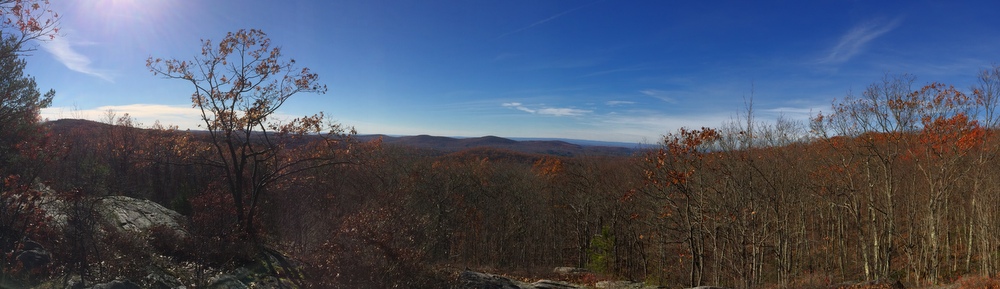
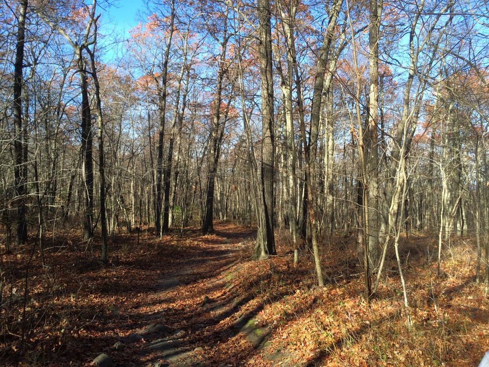
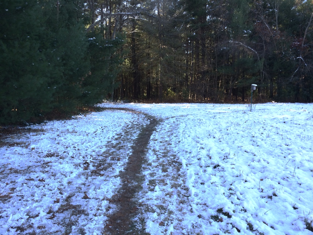
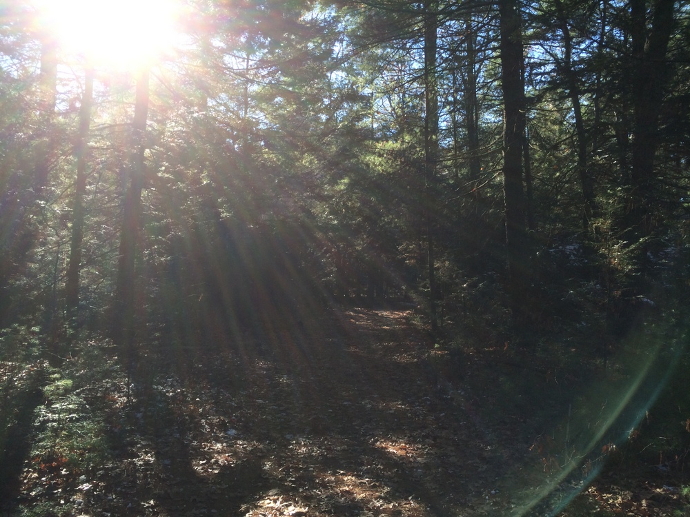
After circling both the pond and the ridge, I was left with a little time to explore some connecting trails.  Back in the more frequently-passed areas of the tract, I again started meeting families.  The sun was bright and had melted all the snow in this area.  I snapped one last picture to capture the feel of the day and the property.

097

With the clock ticking, I wrapped up the hike after 3 miles and headed back to Tree House (no samples, just growlers please…), and then to get Evie.  I enjoyed the quiet time in the woods, as I always do, but all I could think of was heading back here with Jess so she could see some of it herself.

I guess that’s a good sign, right?

I hope to get a few more hikes like this in before the snow really begins to cover the trails….

Peaked Mountain – Monson

You cannot ask for much better fall hiking weather than we had this weekend.  Mild enough that only a few extra layers were needed, no real wind to speak of, and a clear blue sky letting ample sun through to warm the air just enough.  There are two sides of November, and I love them both — this was without a doubt the “beautiful sunny late fall” side.

Last weekend while at Rock House, we picked up a trail map for Peaked Mountain in Monson.  It’s a bit of a drive (40+ minutes), but we knew we’d have enough time for a couple hours there if we packed a lunch.  With the weather so nice, we decided to give it a shot.

We went from Brookfield, into Brimfield, across Route 20 and on back roads through Wales and Monson.  It’s hilly rural country that was a joy to drive through (though the scars of the 2011 tornado still mar the landscape).  We suffered some minor GPS shenanigans (“You have arrived at your destination” indeed), but soon found ourselves at the parking area shared with a half-dozen other vehicles.  We took a look at the trail map and decided to take the most direct route to the summit and have lunch there before exploring the rest of the property.

044

We followed Roslyn’s Turnpike directly up, a steady but not-too-steep ascent up a wide rocky path that could have handled a small 4WD vehicle (some of these trails are old fire roads, and are named after the people who helped preserve this property after a forest fire).

004

006

The forest along this part of the mountain was widely spaced hardwoods with occasional boulders.  The walk was not technical or challenging, just a steady climb. We paused by a small pond to take some pictures.

012

After the long straight portion of the trail, it meets with a loop that tours the summit and hits some beautiful vistas.  We headed that way next and the trail got narrower but more level as it looped.  Then the trail headed up some rocks to a scenic overlook facing southwest. It was breathtaking and calm; the mountain is not that high but because it’s so alone it feels like you’re on top of the world.

021

We continued the summit loop as the terrain changed and we found more underbrush and thicker trees.  The trail got a bit more steep in spots too, requiring a little bit of climbing but nothing as severe as on Wachusett.

022

We eventually found ourselves approaching the summit, and the trail got a bit steeper and rockier for the most challenging uphill portion of the hike.

024

Finally, we ended up at another vista, this one facing east.  There, we stopped for lunch and talked about how wild the land still looked, even though we could see several houses.  It must have been an amazing thing to come to the New World from (relatively) crowded Europe.  Every time I look out on these kind of views I think back on the first interactions between the settlers and the indigenous Americans, and how things changed over time.

025

With lunch done and plenty of time remaining, we decided to walk around the summit a bit and enjoy the different views.  Others were here too, in small groups, doing the same thing we were.  There was something new to me here, as well — a trail registry.  In a metal mailbox in a clearing at the summit were two journals, one full, and one just beginning.  We stayed for a few minutes and read what people had said before us — one told a story of a young Halloween party-goer who walked off a night of excessive drinking here, while another older hand wrote of missing a long-loved and recently passed dog.

It reminded me of a bed and breakfast’s guest book, and I penned a few words there about the beautiful day, the quiet peace, and the majestic views.

From the top we took the long route down, following red blazes along an easy slow descent until we met the orange trail, which we followed long looping descent which started out fairly steep.  The descent was actually much harder on the legs than the ascent was; slippery leaves made for slow going, and halfway down a mild but stubborn pain developed in my knee.  I slowed my pace and tried to angle my steps; it never got any worse, but I was thrilled when our looping trail took us uphill again.

035

Soon, the orange trail reconnected with the red trail, which we followed briefly until we passed the pond we stopped at earlier.  There, we explored a side trail blazed in yellow.  We paused to admire the brilliantly blue sky and the occasional bursts of post-peak color on some of the trees stubbornly holding onto their leaves.

040

041

Before we knew it, we were back at the car, with plenty of time to spare before we had to rescue Evie from gymnastics.  We drove home slowly, pausing at an apple orchard and taking side roads we hadn’t explored before.

Peaked Mountain is a beautiful treasure close to home, with unique views to reward the sometimes challenging terrain.  There are multiple geocaches here which we did not search for; maybe we’ll return with Evie to find them. There’s also another few trails a half-mile north at Miller Forest Tract; maybe we’ll explore those soon as well.  We saw some other areas that might be worth looking into soon including the Conant Brook Dam which contains trails which connect to both Brimfield and Wales.