(Solo) South Spencer Rail Trail – Spencer

Two Saturdays in a row, holiday activities kept Jess and I from our now-weekly outdoor explorations.  When on the third Saturday, the last before Christmas, she departed for a family shopping excursion, I decided to get out into the woods, even if only for an hour or so.

Trying to stay close to home and not lose the whole day, I picked the South Spencer Rail Trail (read about it briefly at the Spencer Parks and Recreation web page), also called the Depot Trail.  It is a two-mile, mostly-flat trail connecting South Spencer Rd. and Chestnut St. in the center of Spencer, built along the abandoned South Spencer Railway (built in 1878 to connect two rail stations in Spencer).  We’d been here once before as a family to explore some geocaches, though we only covered half the trail that day.

Part of my goal with picking a rail trail was auditioning it for winter hiking, snowshoeing, or cross-country skiing.  The only reason I think it might not pass muster is its use as a snowmobile trail as well.

026

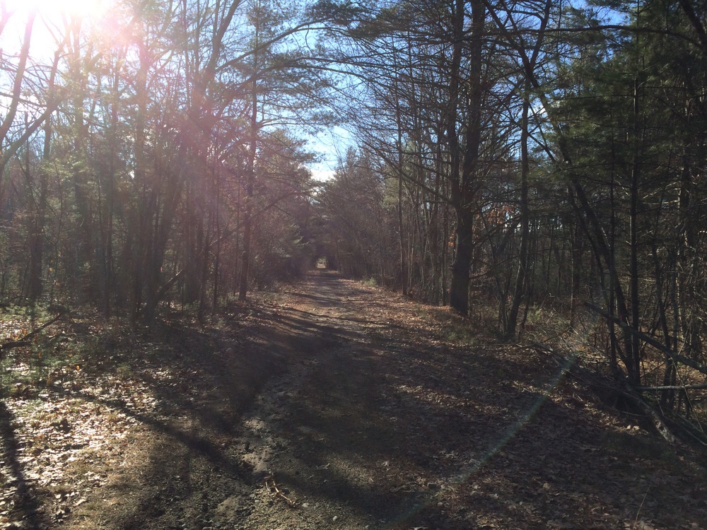
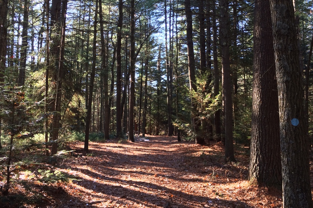
The trail looks like the below picture for much of its length; a wide, fairly flat trail, partially graveled but rutted and uneven.  Over the course of the two miles, I encountered wooded areas (including a section of Spencer State Forest), ball parks, and residential areas to each side of the trail.

030

This unmarked side trail headed into Spencer State Forest.  Given it was unmarked and we’re technically still in deer season, I decided to pass.  Looking at another map now, though, I see it’s technically part of the rail trail and I probably could have explored it.  Next time, I guess….

036

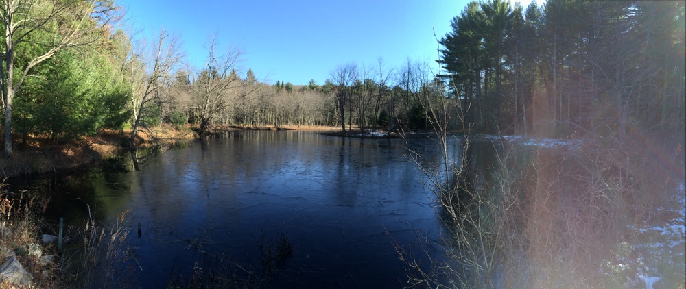
Shortly after that side trail is a pond which was half-frozen.

039

On the opposite side of the pond, another side trail, this one even less inviting (and not on state property).

046

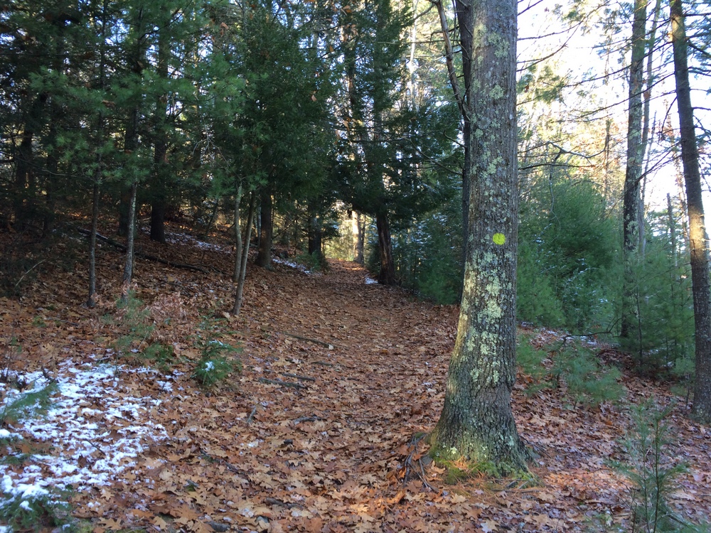
All along the trail, there are spots like the below where the trail meets up with unmarked side trails.  I suspect these may be dirt bike trails or snowmobile trails; Spencer is littered with snowmobile trails for some reason (I’m sure they’re great, I’m just always surprised to see them!).

047

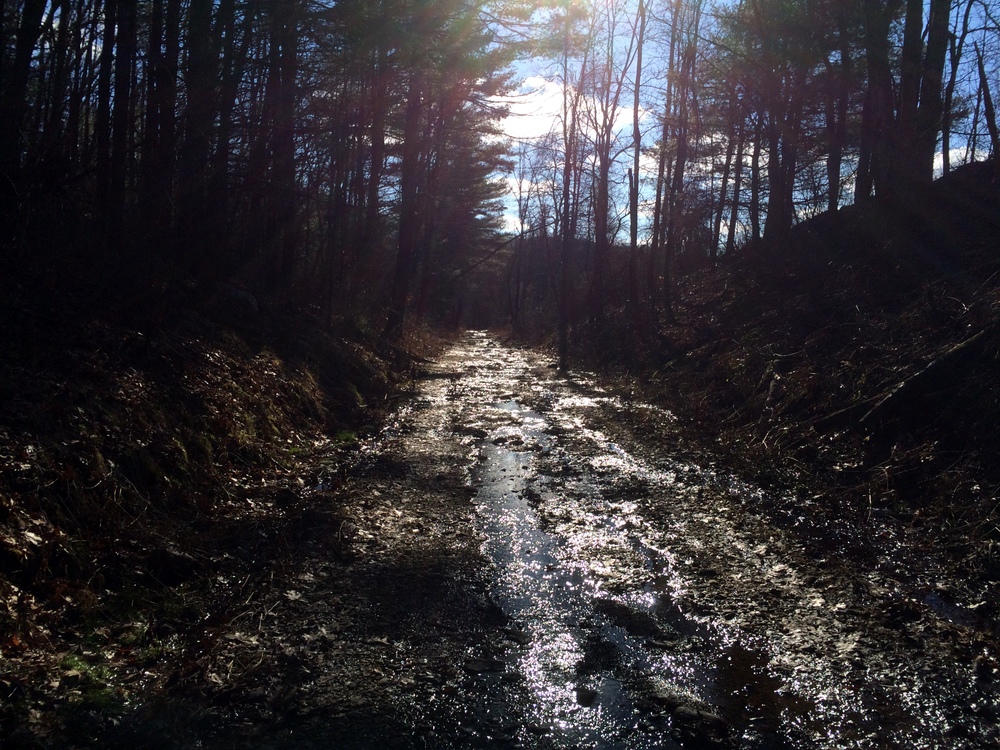
As the trail continued, it got a little less well-maintained.  Here you can see that the drainage isn’t as good and the trail serves as a runoff for groundwater.

050

Still, lots of pretty little ponds and such along the side.

054

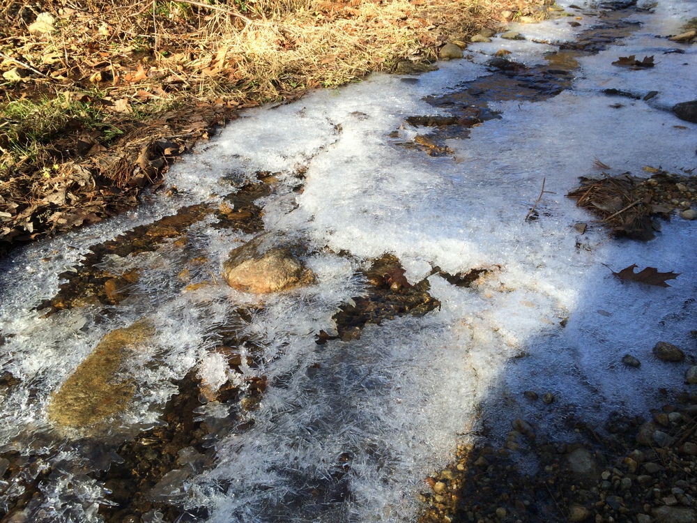
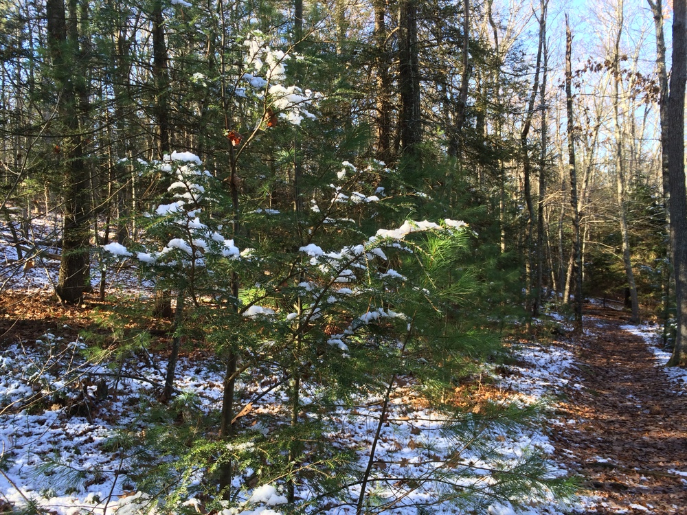
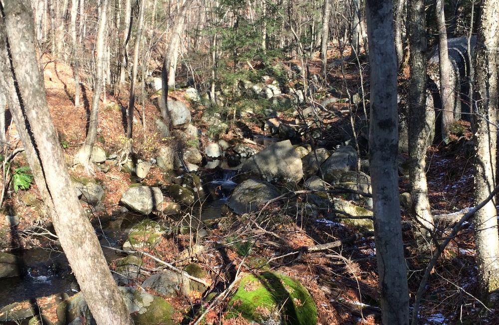
Here, some of the water runoff was still active, flowing rapidly under a icy surface.

058

I found two of these markers along the trail; I’m not sure that they were intended for.  They were marked with “W”s.  The trail was heading northeast at this point, for what it’s worth.064
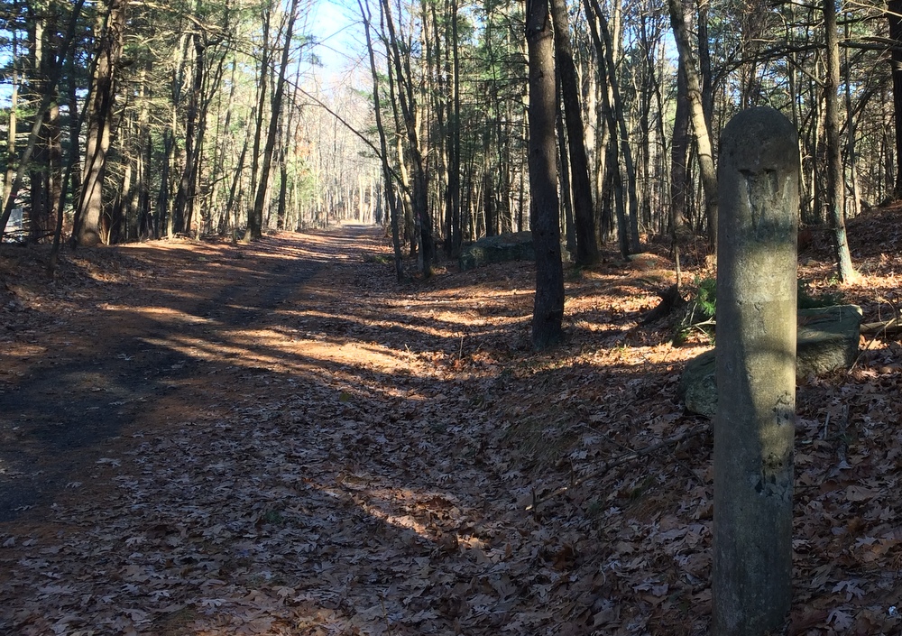
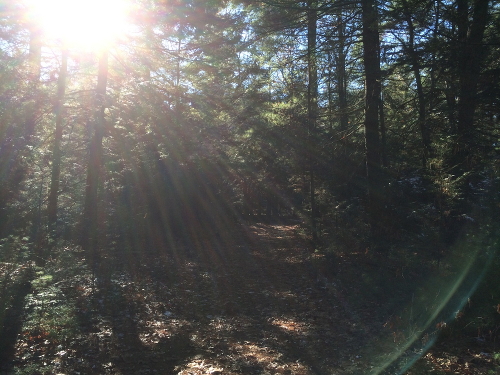
After two miles, the trail unceremoniously ends at a residential street.  There is no sign, just some concrete pylons marking the end of the trail.  I turned around and walked back, this time heading southwest and into the sun.

079 083

One more picture at the pond, and then back home, to do some housecleaning and gift wrapping….

090


(Solo) Miller Forest Tract – Monson

This past Saturday, Jess was out of town with her mother, so it fell to me to take Evie to gymnastics and then fill a few hours on my own.  I made two important choices: I was going to pick up some beer, and get a hike in.

After packing a lunch, I first dropped off some growlers at Tree House Brewing in Monson.  Tree House is a world-class brewery which I’ve been following since they first opened in a barn in Brimfield in 2011 (they were brewing a test batch when the famous tornado struck; you can read about it here).  They’ve gone from being the area’s best-kept secret to being listed as the brewers of the world’s best American IPA by Beer Advocate. If you’re at all a beer fan, it’s worth seeking them out.  It’s worth browsing their site just to see their great beer photography.

With a few hours to wait before my growlers would be full (not so secret any more!), I had plenty of time to go for a hike.  Since I was already in Monson, I decided to return to Peaked Mountain, this time visiting the nearby Miller Forest Tract instead of the primary mountain property.  I chose this property because knowing I was “on the clock” and alone, I wanted a place with clear trail markings and known terrain.  As always, the Trustees of Reservations came through.

011

It was a chilly day. Some light snow had fallen recently and the temps in the shade were not really getting above freezing.  It was a good chance to try out my new Merino Wool socks (they worked great, by the way).  The trail begins alongside a huge field that borders the yard of a neighboring home.

016

I started by heading into the woods on the Forest Loop, and then continued along the Lunden Pond Loop.  The trail starts out wide and flat, an easy and well-traveled trail.  I saw plenty of evidence of recent hikers and dog-walkers on the first part of the hike.  Where the sun cleared the trees, the snow was gone, but in areas of denser shade the snow remained.

022

Lunden Pond is a beautiful spot; I was wishing I had saved my picnic lunch to eat here instead of at the car.  The trail first crosses over a small “arm” of the pond.  Here, the pond was enough in the shade that ice was beginning to form (you can see it below).

035

The trail then continues around the pond, and I paused frequently to admire the scenery and take pictures.

048

Others were doing the same; I saw several families, couples, and others all enjoying the sunny crisp day.

052

After looping around the pond, I cut over onto a less-traveled area of the tract, the Temple Brook Loop and Ridge Trail.  Things quickly got narrower and steeper, with much less evidence of human or animal traffic, but the trails were still easily navigated and clearly marked.

059

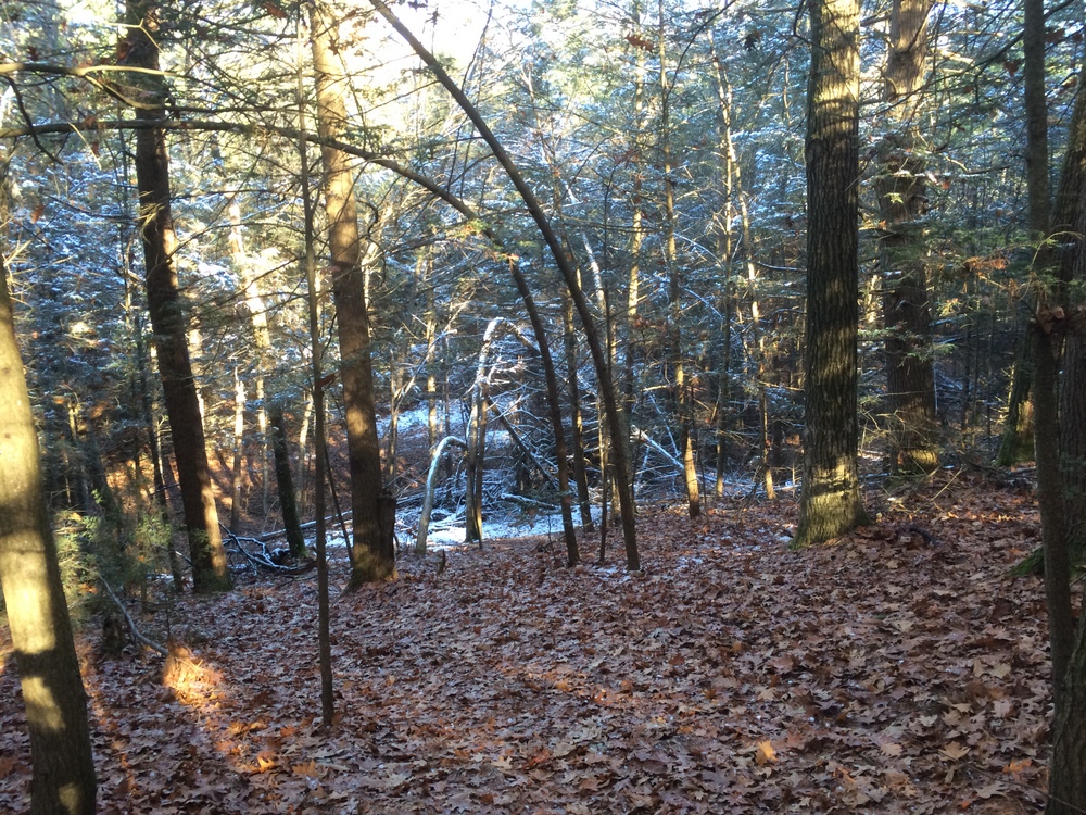
The trail went through some shaded areas which still held the weekend’s earlier snow, which made for some striking contrast to the sunny open areas near the pond.

063

I try to remember to look up periodically, especially in the woods.  I remember reading once that happy people statistically look up more frequently than unhappy people.  Even if you can’t trick yourself into being happy by checking out the sky more often, it can’t hurt, right?

071

Right before climbing the ridge from which the Ridge Trail gets its name, Temple Brook Loop parallels Temple Brook for a while.  It was a lively brook, splashing over rocks.  I didn’t test my theory that the water looked pretty chilly, though.  The quiet sounds of nature were somewhat overshadowed by nearby road traffic and the sounds of a leaf blower close by, however.  It’s part of the cost of having such nicely maintained trails so close to civilization, even if it’s rural civilization.

084

From the brook, I followed this loop up the ridge and then back down it.  I tried to capture the steep descent along the leaf-carpeted trail down into the shaded snow-filled area in the image below.  The trail was a little sketchy in a few spots, steeper, narrow, rocky and covered with leaves.  But overall it was still well-marked and not a trouble to navigate.

095

After circling both the pond and the ridge, I was left with a little time to explore some connecting trails.  Back in the more frequently-passed areas of the tract, I again started meeting families.  The sun was bright and had melted all the snow in this area.  I snapped one last picture to capture the feel of the day and the property.

097

With the clock ticking, I wrapped up the hike after 3 miles and headed back to Tree House (no samples, just growlers please…), and then to get Evie.  I enjoyed the quiet time in the woods, as I always do, but all I could think of was heading back here with Jess so she could see some of it herself.

I guess that’s a good sign, right?

I hope to get a few more hikes like this in before the snow really begins to cover the trails….

(Solo) Wells State Park – Sturbridge

With my wife and daughter out of town, I had to make a decision on how to spend my Sunday afternoon: watching the Patriots beat up on the Bills, or hiking on a beautiful sunny October day?

Fortunately, I have the technology available to solve this problem — a DVR!  Safe in the knowledge that I could watch the Pats any time on this Sunday, I was free to explore other options.

So it was that after a morning spent with friends at Hamilton, I parked the car at the main lot for Wells State Park, where my wife and I had recently hiked, for another visit.

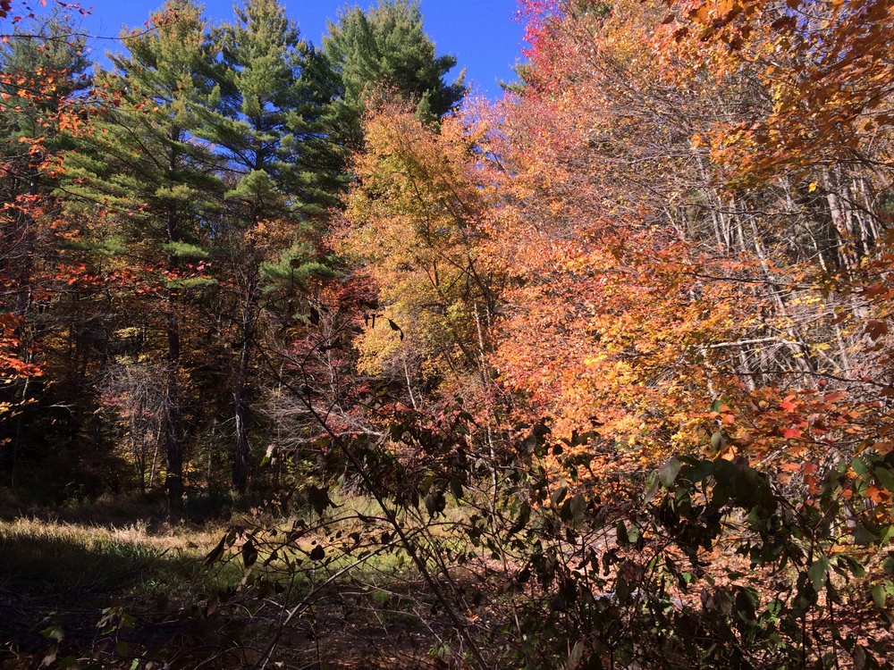
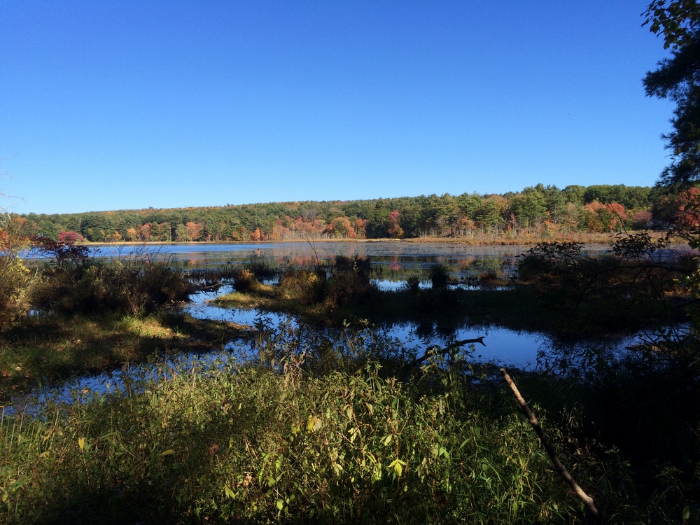
I decided on this trip that I wanted to uncover the two trails we had skipped on our recent visit — the South Trail and the Mountain Road Trail.  To start, I warmed up on the Mill Pond Loop (the accessible trail), an easy mile with incredibly bright foliage surrounding the small ponds.

014 015 017

From here, I climbed up the steep trail which leads to Carpenters Rocks.  I took a wrong turn somewhere (it’s hard without my navigator!) but quickly got back on the trail and made my way to the rocky cliff with its views of the slowly changing foliage.  I passed several other hiking groups, families, couples, and groups of friends.  At the Rocks I found the cold remnants of a campfire.  It seems like a dangerous spot to have a fire, to me, but what do I know?

After resting a moment, I continued up the path to the South Trail, which was a totally different beast than the North Trail I had hiked before.  Wider and easier, it was a slow descent to make up for the steep ascent to the Rocks.

I made a spur-of-the-moment decision to fork off from the trail and head along a blue-blazed trail which leads out to New Boston Road.

032

There, I met up with a father/son group who were just entering the woods.  I paused and drank some water while I let them get ahead of me; I didn’t want to be hot on their heels.  This section of trail has some beautiful spots but bogs down a bit in a marshy area.

039

After giving the family some room to breathe, I followed back up the blue blazes to the South Trail.  There, they turned left and I turned right, and I sped up a bit to make up some lost time.  The trail ended on the paved park road, and I followed that for a bit while walking past campsites along it.

Eventually, I turned back into the woods at the orange blaze trailhead for the Mountain Road Trail.

048

This trail was again, completely different.  A slow climb took me through several different types of forests as I got closer to Route 90. I passed several families out for hikes along this trail, due to its proximity to the park’s campsites.

As the trail reached Route 90 and took a sharp turn, it got incredibly steep.  Making my way carefully down the path I wasn’t sure whether I’d rather be hiking down this grade or up it.  Soon, though, it was back on level ground and moving away from the highway.  Before long, to my right the views of Walker Pond began to open up.  My legs were getting tired at this point, but the incredible views rejuvenated my body and spirit.

069 071 089

Eventually, the trail connected back up with the park road, which I followed back to my car.

I had a close call with a football spoiler as I walked past a campsite playing the game; I heard something about multiple officials and a possible turnover, but I picked up my pace and managed to get out of earshot before anyone announced the score.

When I got back to my car, I learned I had hiked 6.5 miles over some really interesting terrain.  It was an incredibly satisfying hike and I was fortunate to have the time to myself to enjoy it fully.

Hiking alone is very different than hiking with a partner (or a whole family).  Your mind wanders — work, home, deep thoughts, superficial thoughts, and then … nothing, just one foot in front of the other.  Peace.

It’s why I go out there.  It takes a few miles of physical activity before the brain has exhausted itself of its conscious concerns and the unconscious can take over….

I drove home, watched the Pats win their game, and then sneaked back out for a late dinner at BT’s Smokehouse.  Not a bad way to spend a Sunday….