Two Saturdays in a row, holiday activities kept Jess and I from our now-weekly outdoor explorations. When on the third Saturday, the last before Christmas, she departed for a family shopping excursion, I decided to get out into the woods, even if only for an hour or so.
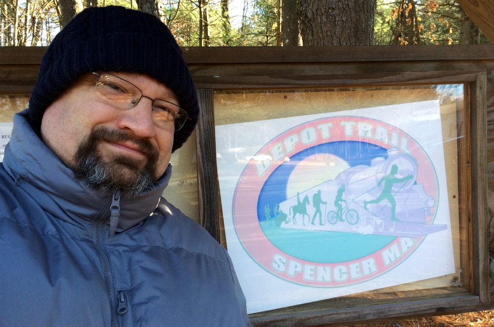
Trying to stay close to home and not lose the whole day, I picked the South Spencer Rail Trail (read about it briefly at the Spencer Parks and Recreation web page), also called the Depot Trail. It is a two-mile, mostly-flat trail connecting South Spencer Rd. and Chestnut St. in the center of Spencer, built along the abandoned South Spencer Railway (built in 1878 to connect two rail stations in Spencer). We’d been here once before as a family to explore some geocaches, though we only covered half the trail that day.
Part of my goal with picking a rail trail was auditioning it for winter hiking, snowshoeing, or cross-country skiing. The only reason I think it might not pass muster is its use as a snowmobile trail as well.
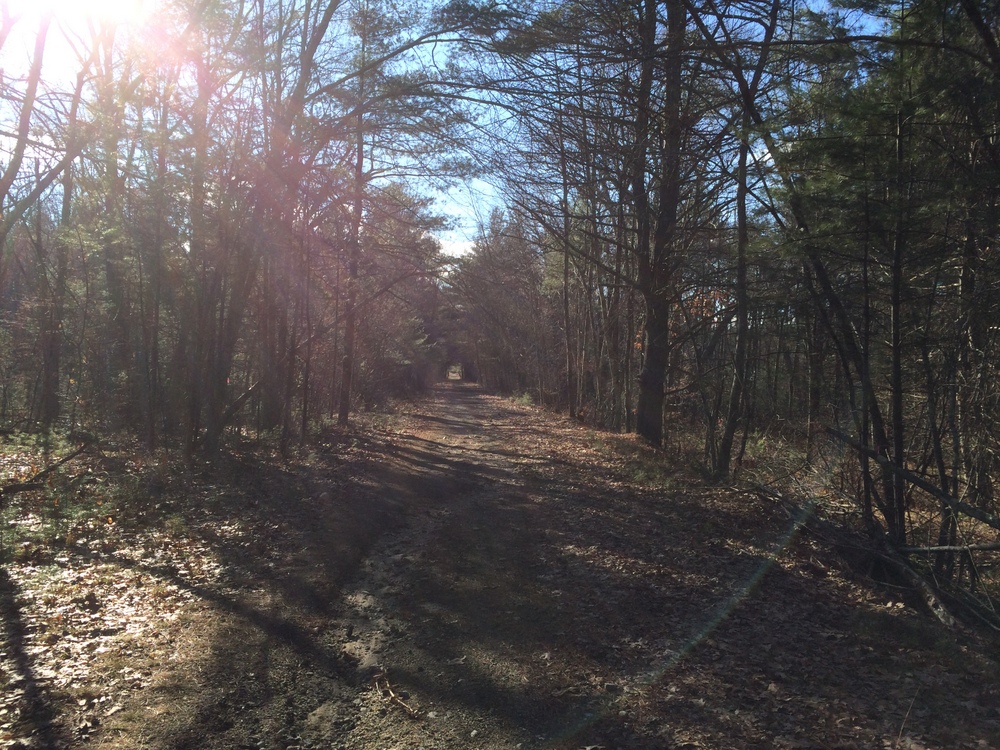
The trail looks like the below picture for much of its length; a wide, fairly flat trail, partially graveled but rutted and uneven. Over the course of the two miles, I encountered wooded areas (including a section of Spencer State Forest), ball parks, and residential areas to each side of the trail.
This unmarked side trail headed into Spencer State Forest. Given it was unmarked and we’re technically still in deer season, I decided to pass. Looking at another map now, though, I see it’s technically part of the rail trail and I probably could have explored it. Next time, I guess….
Shortly after that side trail is a pond which was half-frozen.
On the opposite side of the pond, another side trail, this one even less inviting (and not on state property).
All along the trail, there are spots like the below where the trail meets up with unmarked side trails. I suspect these may be dirt bike trails or snowmobile trails; Spencer is littered with snowmobile trails for some reason (I’m sure they’re great, I’m just always surprised to see them!).
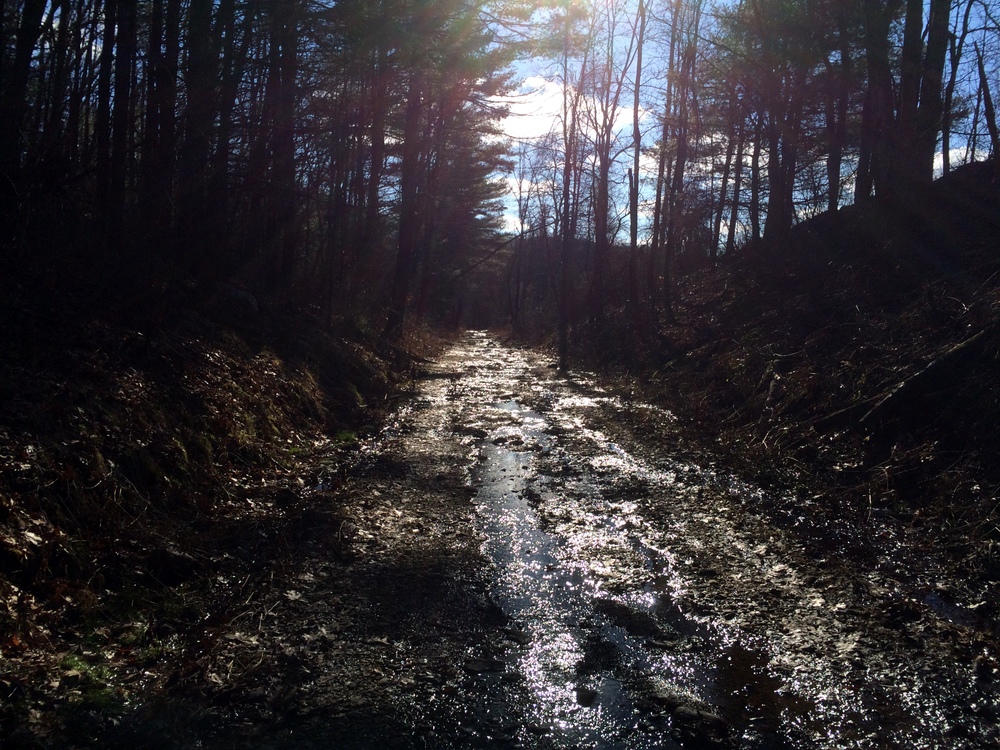
As the trail continued, it got a little less well-maintained. Here you can see that the drainage isn’t as good and the trail serves as a runoff for groundwater.
Still, lots of pretty little ponds and such along the side.
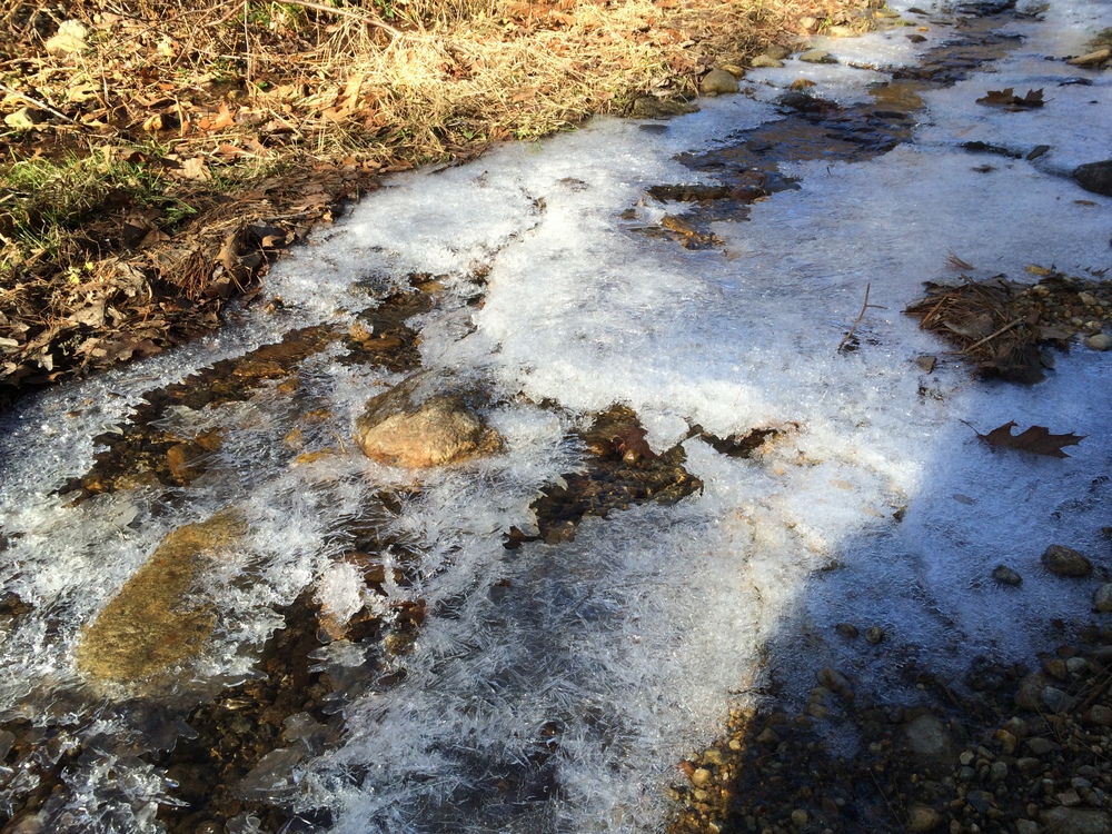
Here, some of the water runoff was still active, flowing rapidly under a icy surface.
I found two of these markers along the trail; I’m not sure that they were intended for. They were marked with “W”s. The trail was heading northeast at this point, for what it’s worth.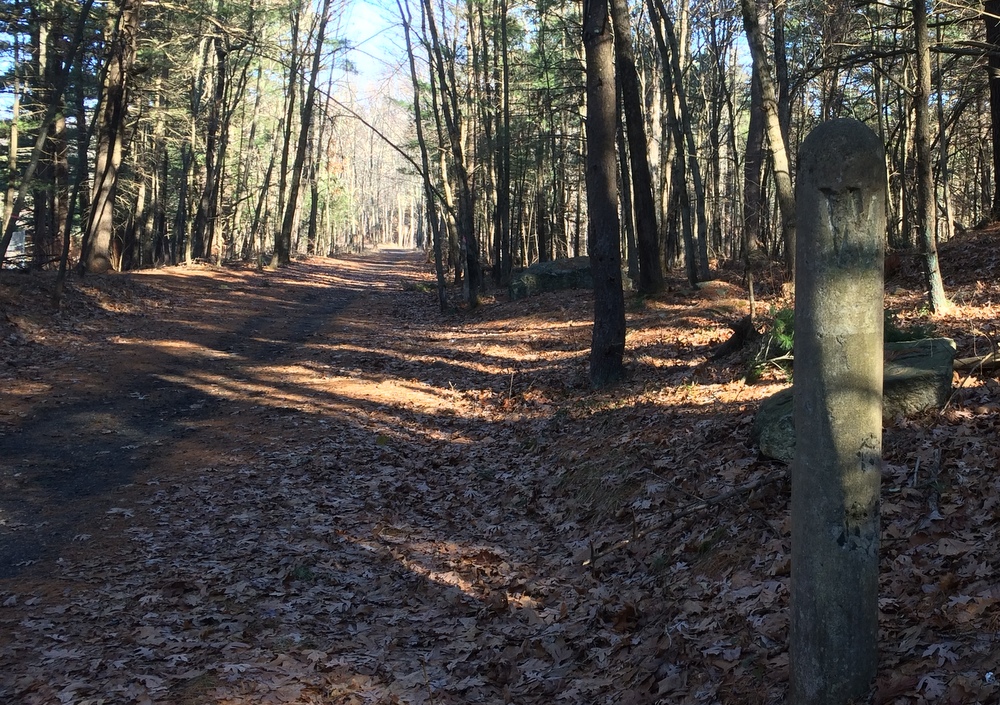
After two miles, the trail unceremoniously ends at a residential street. There is no sign, just some concrete pylons marking the end of the trail. I turned around and walked back, this time heading southwest and into the sun.
One more picture at the pond, and then back home, to do some housecleaning and gift wrapping….

