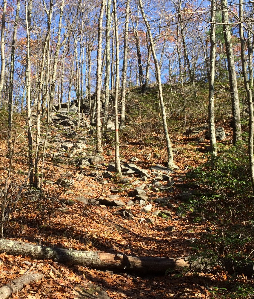
You cannot ask for much better fall hiking weather than we had this weekend. Mild enough that only a few extra layers were needed, no real wind to speak of, and a clear blue sky letting ample sun through to warm the air just enough. There are two sides of November, and I love them both — this was without a doubt the “beautiful sunny late fall” side.
Last weekend while at Rock House, we picked up a trail map for Peaked Mountain in Monson. It’s a bit of a drive (40+ minutes), but we knew we’d have enough time for a couple hours there if we packed a lunch. With the weather so nice, we decided to give it a shot.
We went from Brookfield, into Brimfield, across Route 20 and on back roads through Wales and Monson. It’s hilly rural country that was a joy to drive through (though the scars of the 2011 tornado still mar the landscape). We suffered some minor GPS shenanigans (“You have arrived at your destination” indeed), but soon found ourselves at the parking area shared with a half-dozen other vehicles. We took a look at the trail map and decided to take the most direct route to the summit and have lunch there before exploring the rest of the property.
We followed Roslyn’s Turnpike directly up, a steady but not-too-steep ascent up a wide rocky path that could have handled a small 4WD vehicle (some of these trails are old fire roads, and are named after the people who helped preserve this property after a forest fire).
The forest along this part of the mountain was widely spaced hardwoods with occasional boulders. The walk was not technical or challenging, just a steady climb. We paused by a small pond to take some pictures.
After the long straight portion of the trail, it meets with a loop that tours the summit and hits some beautiful vistas. We headed that way next and the trail got narrower but more level as it looped. Then the trail headed up some rocks to a scenic overlook facing southwest. It was breathtaking and calm; the mountain is not that high but because it’s so alone it feels like you’re on top of the world.
We continued the summit loop as the terrain changed and we found more underbrush and thicker trees. The trail got a bit more steep in spots too, requiring a little bit of climbing but nothing as severe as on Wachusett.
We eventually found ourselves approaching the summit, and the trail got a bit steeper and rockier for the most challenging uphill portion of the hike.
Finally, we ended up at another vista, this one facing east. There, we stopped for lunch and talked about how wild the land still looked, even though we could see several houses. It must have been an amazing thing to come to the New World from (relatively) crowded Europe. Every time I look out on these kind of views I think back on the first interactions between the settlers and the indigenous Americans, and how things changed over time.
With lunch done and plenty of time remaining, we decided to walk around the summit a bit and enjoy the different views. Others were here too, in small groups, doing the same thing we were. There was something new to me here, as well — a trail registry. In a metal mailbox in a clearing at the summit were two journals, one full, and one just beginning. We stayed for a few minutes and read what people had said before us — one told a story of a young Halloween party-goer who walked off a night of excessive drinking here, while another older hand wrote of missing a long-loved and recently passed dog.
It reminded me of a bed and breakfast’s guest book, and I penned a few words there about the beautiful day, the quiet peace, and the majestic views.
From the top we took the long route down, following red blazes along an easy slow descent until we met the orange trail, which we followed long looping descent which started out fairly steep. The descent was actually much harder on the legs than the ascent was; slippery leaves made for slow going, and halfway down a mild but stubborn pain developed in my knee. I slowed my pace and tried to angle my steps; it never got any worse, but I was thrilled when our looping trail took us uphill again.
Soon, the orange trail reconnected with the red trail, which we followed briefly until we passed the pond we stopped at earlier. There, we explored a side trail blazed in yellow. We paused to admire the brilliantly blue sky and the occasional bursts of post-peak color on some of the trees stubbornly holding onto their leaves.
Before we knew it, we were back at the car, with plenty of time to spare before we had to rescue Evie from gymnastics. We drove home slowly, pausing at an apple orchard and taking side roads we hadn’t explored before.
Peaked Mountain is a beautiful treasure close to home, with unique views to reward the sometimes challenging terrain. There are multiple geocaches here which we did not search for; maybe we’ll return with Evie to find them. There’s also another few trails a half-mile north at Miller Forest Tract; maybe we’ll explore those soon as well. We saw some other areas that might be worth looking into soon including the Conant Brook Dam which contains trails which connect to both Brimfield and Wales.


