Sibley Farm – Spencer

This is our second trip to the Sibley Farm property.  The first trip is described in a previous post.

It was a beautiful day to be outdoors yesterday, as far as winter days go.  The cold temperatures didn’t seem too bitter since the skies were clear and the air was calm.  With errands to run we only had a short window to enjoy the outdoors, so we returned to Sibley Farm to explore some of the trails we missed two weeks ago.

007

This time, we forked left from the parking area instead of right, and followed Sibley Trail (as seen on the map).  The trail is well marked and immediately settles into a light forest marked with occasional stands of mountain laurel.

011

The snow covering the ground made for pleasant views in all directions, while still being light enough that we could easily walk it in boots without needing better equipment.  A few others had been on these trails recently but the further we went from the parking lot, the more we were breaking ground ourselves instead of following directly in others’ tracks.

012 014

The terrain was quite uneven, and we took a steep descent towards the “Otter Pond” marked on the map.  We weren’t too excited about having to make this climb again, but what goes down must come up….  We paused to take some pictures by the pond before deciding to turn around here to avoid any issues with being late to get our daughter from gynmastics.

017

We returned the way we came,starting back up the hill we had just descended.

027

Then, we forked off to check out the large open fields marked on the map.  To do this we took first a detour onto the Bobolink Trail and then connected to the Midstate Trail. The Midstate walks along two large fields atop the hill here, making for a much different view.

031

We walked along these fields for the last part of the hike, and then headed down some hills back to the parking area.

036

It was nice to revisit the property with snow on the ground and to take a completely different set of trails than our previous visit.  We only covered a bit over two miles, but it was refreshing and invigorating to be out in the woods again in the crisp clear air.

Sibley Farm / Burncoat Pond – Spencer

For the second day in a row, we were able to get out for a hike. Today was our usual Saturday, with a couple hour break while Evie was in gymnastics. We were forced to leave a bit later than usual due to a delivery (my snowblower has been repaired; you can all thank me later when we get no snow this year) so we picked a spot close to home which was new to us.

In Spencer, a couple towns away, there’s a large plot of land (the Sibley and Warner Farm land, plus the Burncoat Pond Wildlife Sanctuary) with 8 miles of trails on it, managed and preserved by a special partnership of three separate groups: the Mass Audubon Society, the Greater Worcester Land Trust, and the Common Ground Land Trust.  You can read about it preservation in the Audubon Society press release here and check out the map here.  I’ve wanted to visit it for a while but hadn’t made it out there yet.  We decided to do a few miles there today and see what it was all about.

The parking area is on Greenville Rd, which is right off of Route 9 in Spencer.  It’s very easy to find.  At the lot is a massive informational kiosk outlining the partnership that has preserved this land, and outlining some of the trails and regulations for use of the land on the different parts of the property (no pets or hunting in the wildlife sanctuary, for example).

We decided to head into the Sanctuary first, following the Flat Rock Trail.  The trail slopes up a large open field and then enters a thick wood, as seen below.

005

The trail is very interesting but not difficult.  It is winding and uneven, but not steep in any spots.

006

It’s a mix of younger trees and some old behemoths.

008

We stepped off the trail briefly to explore a stone path out to an island on Burncoat Pond.  The island had views of the homes on the south section of the pond, and I imagine residents must frequently come out to the island either by boat or across the ice, as we found a fairly permanent fire pit loaded with charcoal there.011

017

Not far from the island, we found Richard’s Overlook, with beautiful views from a boulder to the entire northern part of the pond.

018

020

We continued to explore a bit, after finishing the Flat Rock Trail and moving on to the Kalmia Loop, dense with mountain laurel.

023

As we approached the two mile mark and checked the time, we realized we couldn’t do a longer loop, and cut the hike short, returning back mostly the way we had come.  We took a small detour on the Bluebird Trail which approached the parking area from a slightly different angle.

029

The Bluebird Trail also corresponds with the Midstate Trail for a few feet, giving me another Midstate Trail sign photo-op.

033

Back at the car we found we had finished three miles.  We were glad to get out of the chilly air, and on the ride home the snow began to fall.

We barely covered the surface of this property today and fully intend to come back and explore many more of the trails.  We are fortunate to have so many great and large properties within convenient distance of our home.

Yellick Conservation Area – Northboro

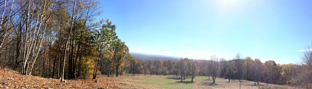
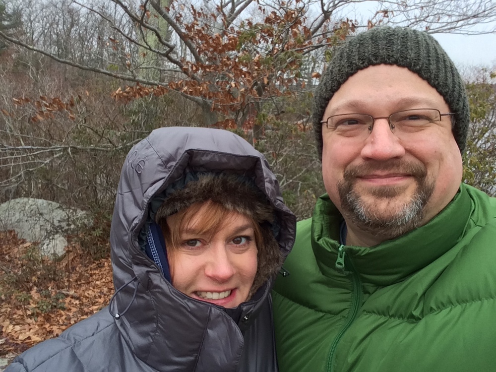
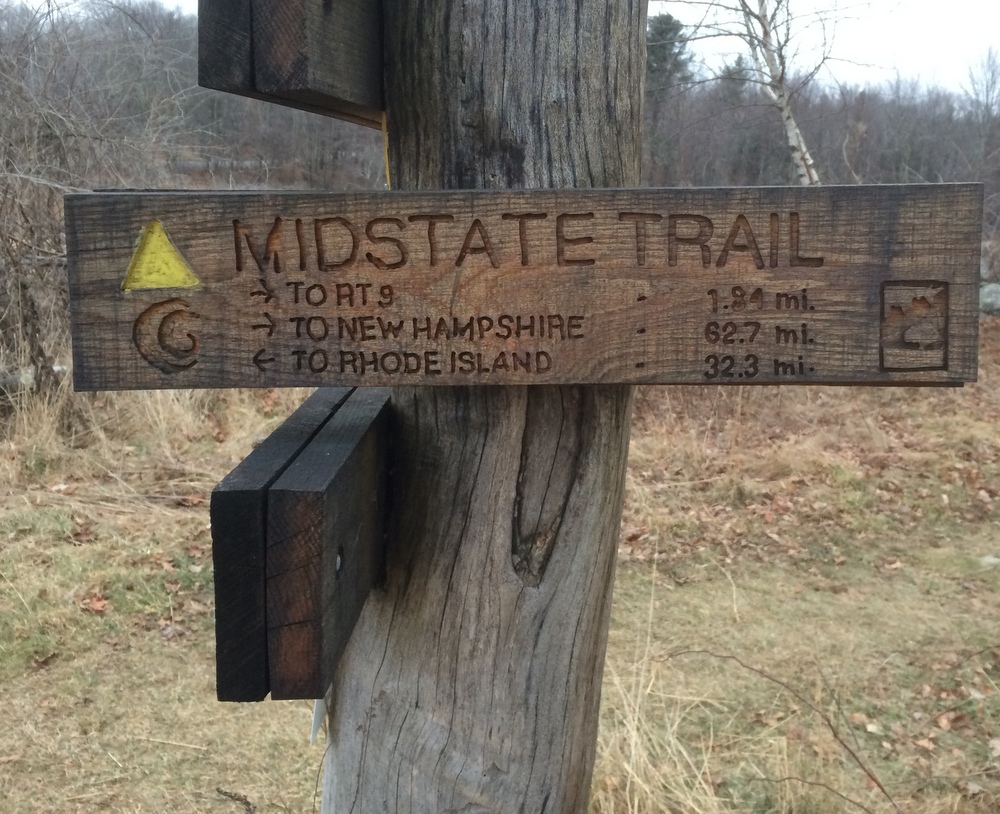
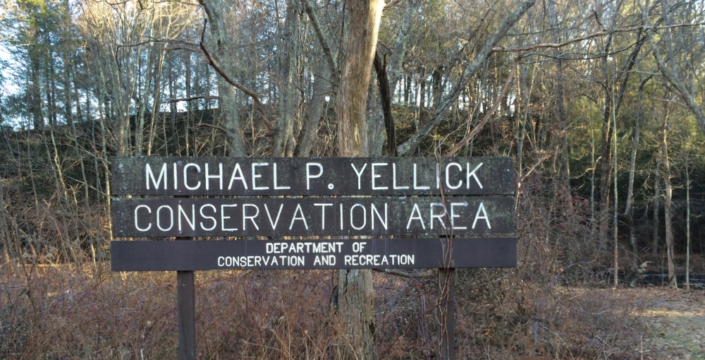
Our first hike of 2015 was a spur-of-the-moment excursion in Northboro, a town we once called home and where my mother still lives.  We were already in town and ended up able to drop our daughter off with Grandma for a couple hours.  I pulled up the Northboro Trails Committee website and looked for something close by.  We ended up starting at the Coyote Trail, which meanders through the Yellick Conservation Area.  You can read more about the area in this news article I found later, which pointed me nicely to this updated map.

The trail begins at a generous parking area off a very steep driveway which connects to Hudson Road, a well-traveled road which connects Route 20 to the Solomon Pond Mall in Marlboro.  We’d seen the parking area many times in our travels in town but had never stopped there.

001

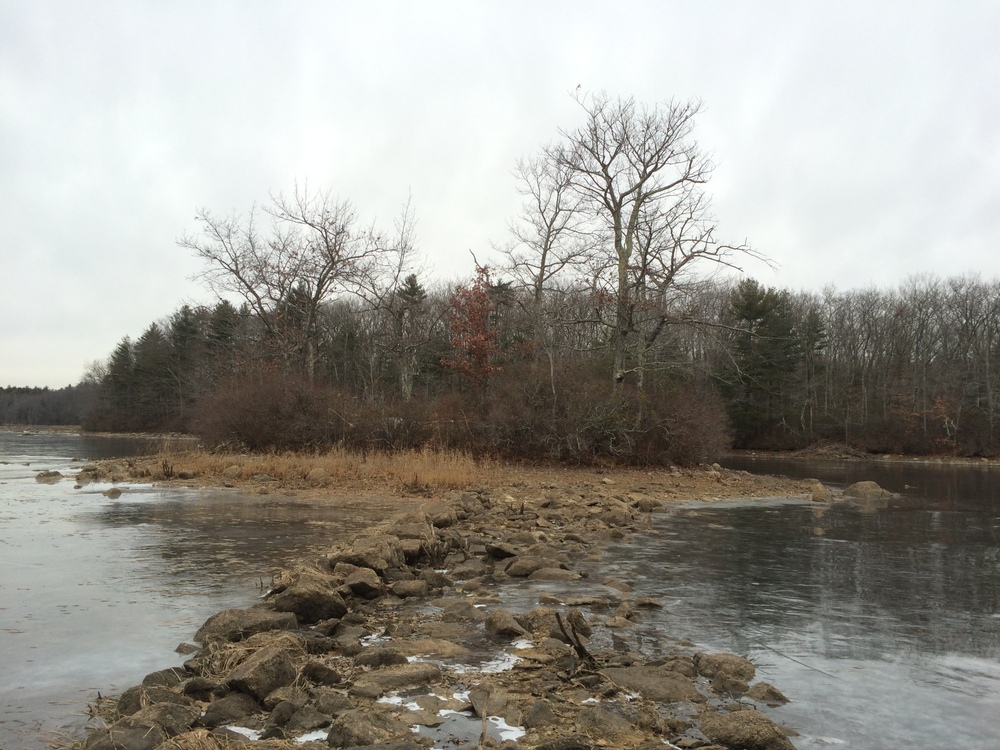
The trail starts off strangely, hooking southwest along the Assabet River and basically through some back yards (signposts helpfully tell you to stay to the left of the markers to avoid trespassing) until you reach a narrow but sturdy bridge which crosses the fast-moving, shallow river.

006

010

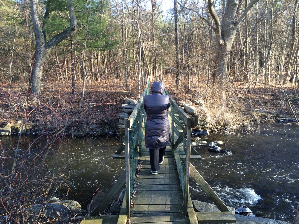
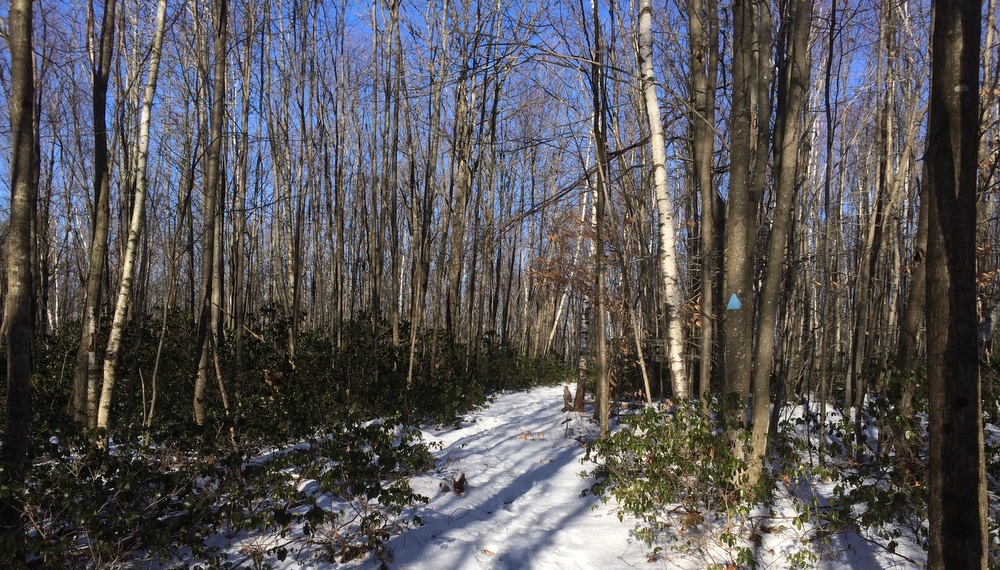
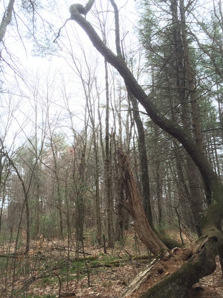
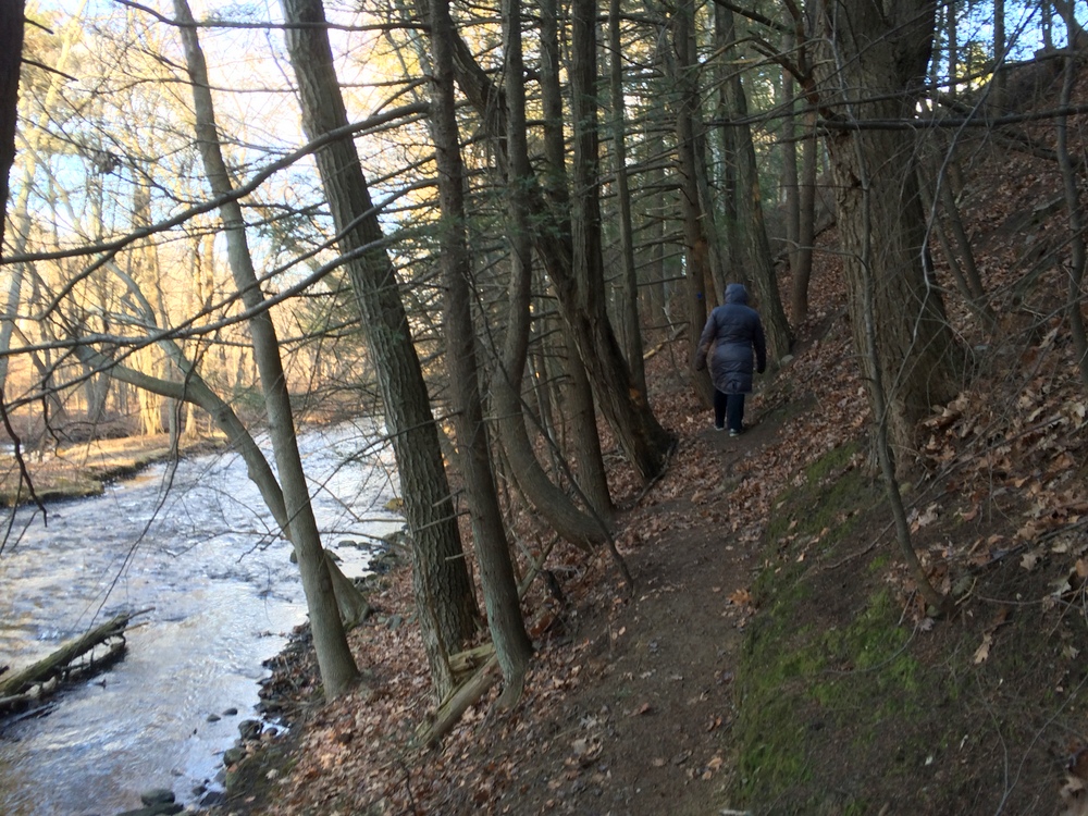
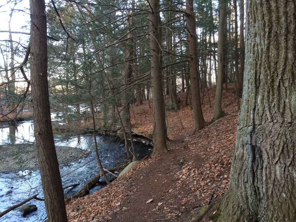
Once across the river, the trail immediately turns back the way it came.  It is fairly well-marked, but is precarious and narrow as it closely hugs the shoreline on the hillside.  I would not attempt this trail in any kind of wet weather, or with any ice or snow on the ground.  It wouldn’t take much to end up sliding down the hillside into the water (what I’m showing below isn’t that bad; there were some hairier parts).

014

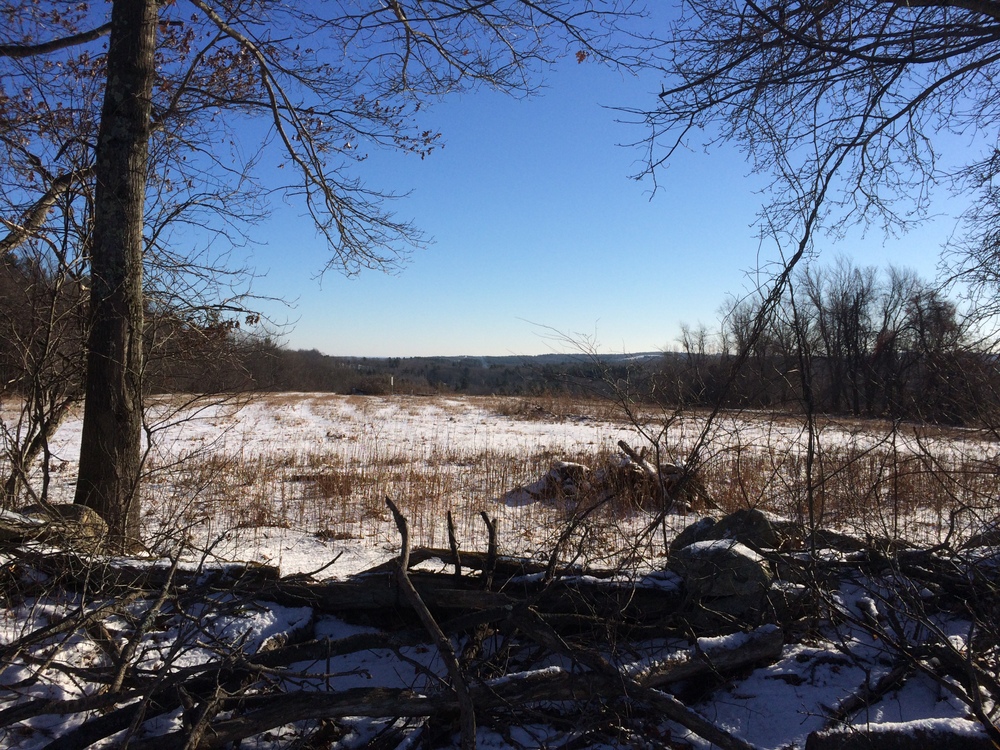
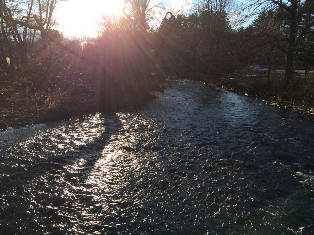
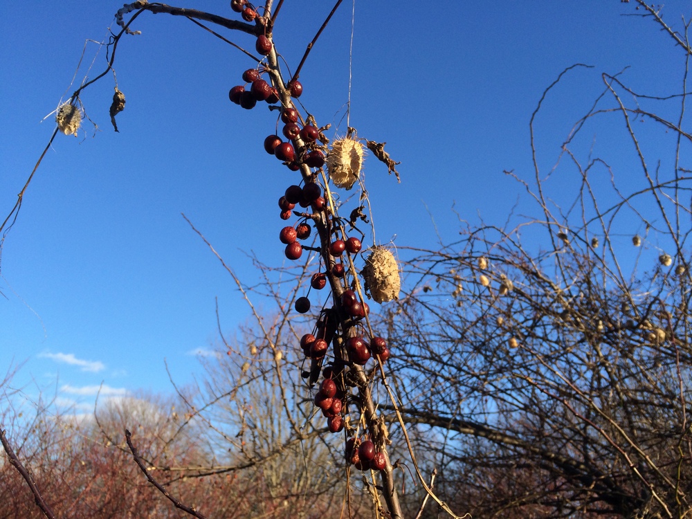
After that initial section, a short spur continues northeast, labeled the Tall Grass Trail.  It follows the river through some very thick grassland; without the work that keeps this trail clear, it would be impassable very shortly, overrun with brambles and briars.

023

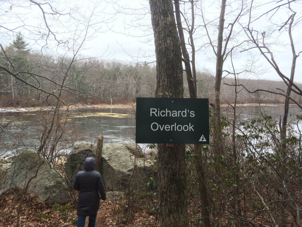
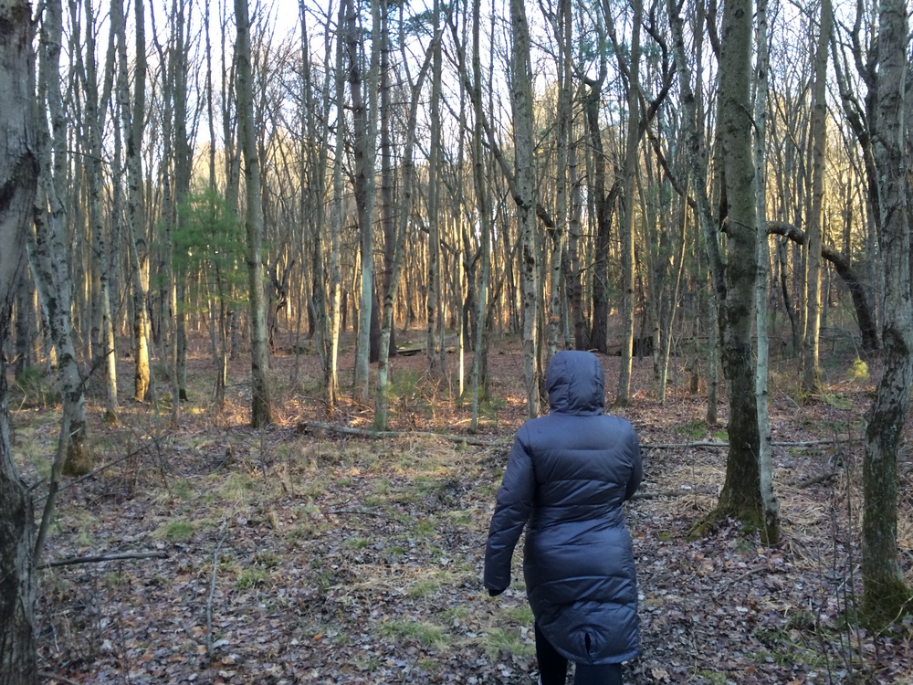
We paused a moment to take a picture and then returned to the intersection with the Birdsong Trail.

027 035

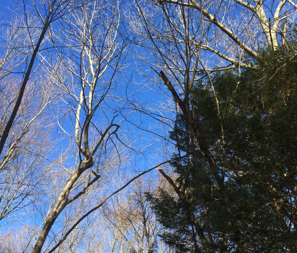
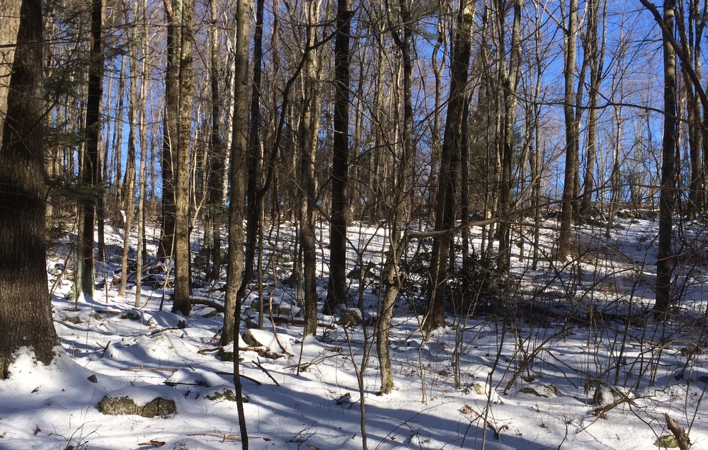
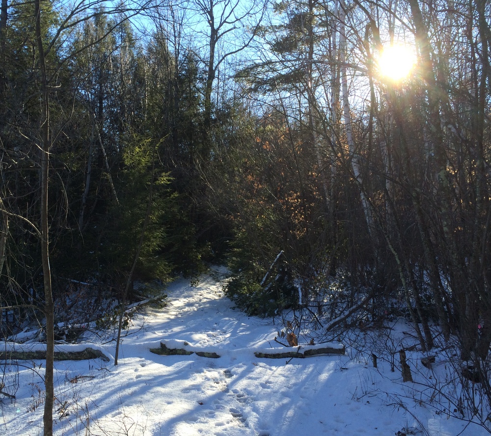
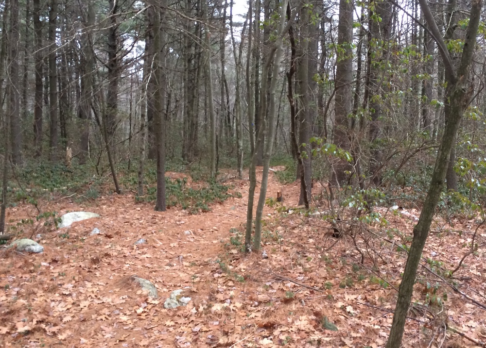
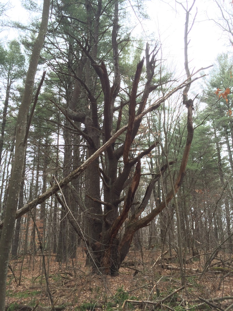
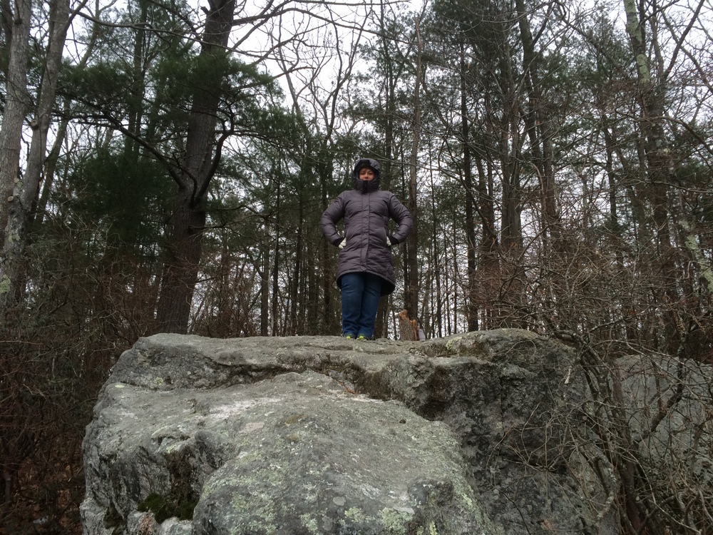
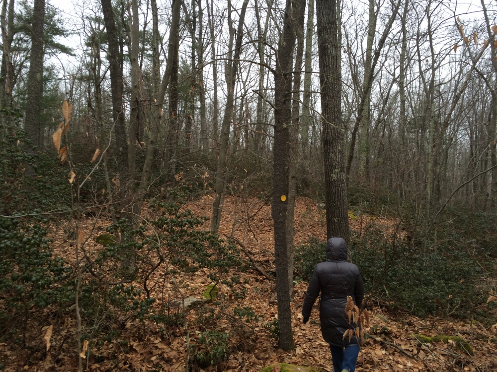
The Birdsong Trail is a totally different beast than what we were just following.  Flat and easy to follow, it moves through several terrain types before settling into a rocky pine forest.

039

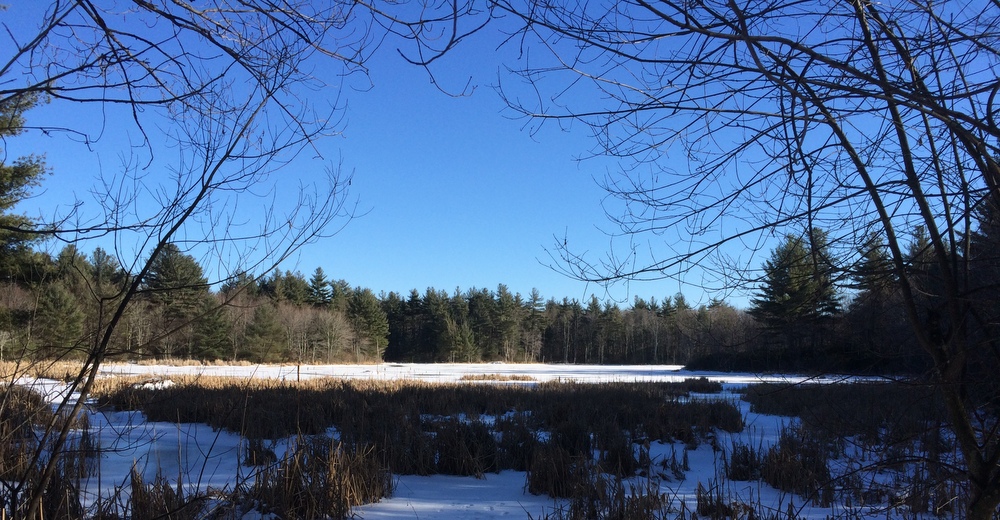
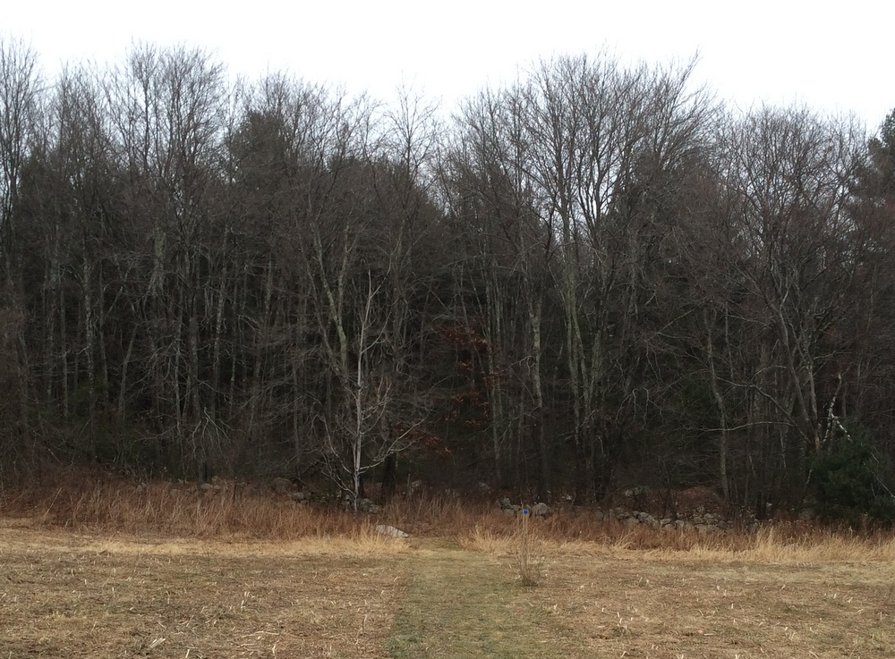
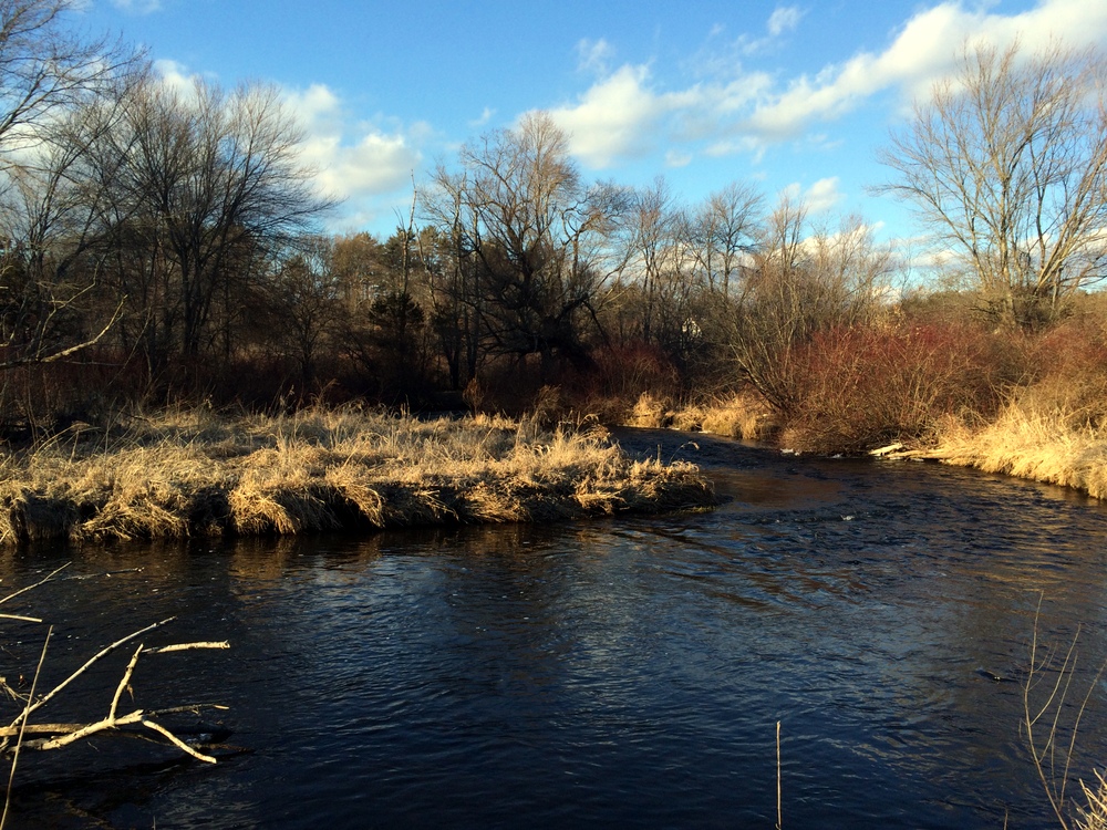
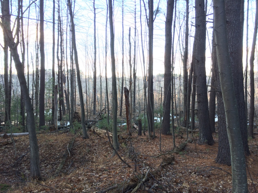
The marsh is never far, as you can see in the picture below.  Residential neighborhoods were never far either; you could see houses along much of the trail.  This, combined with the ever-present drone of I-290 in the distance, reminded us that we were definitely on a suburban trail.  Still, the extra pool of volunteers and foot traffic that comes with a suburban trail provides some real benefit; the paths were clear and well-kept, and surprisingly clean of litter.

041

We had gone a bit over a mile and a half when we decided to turn back.  Looking at the maps, it’s clear that we stopped just as the Birdsong Trail was meeting up with the Old Farm Trail.  We were very close to Route 20 but didn’t press through to see it (trust me, we’ve seen plenty of Route 20 over the years).

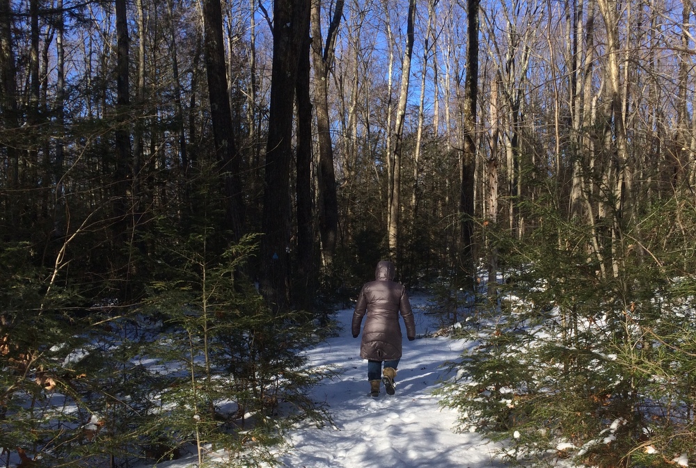
At that point, we turned back and followed the trail back the way we came.  There-and-back trails are a mixed blessing; it’s nice that once you decide to stop, you know exactly what terrain and distance separates you from returning to the trailhead.  On the other hand, it’s not very exciting to cover the same ground in the reverse direction.

046

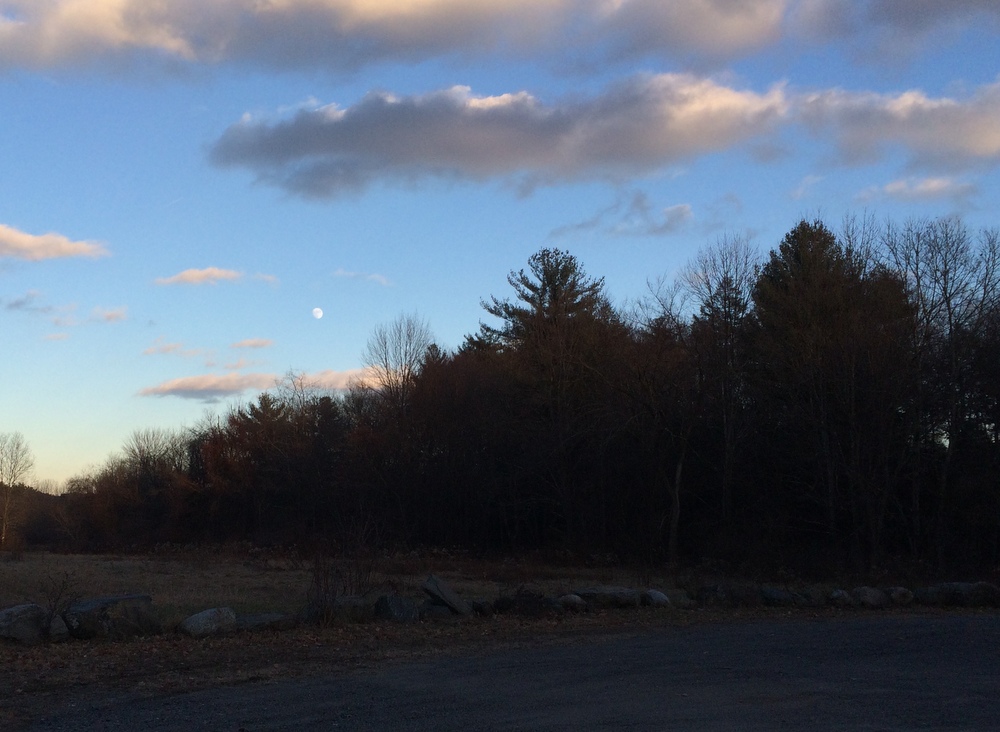
As we returned to the parking area, the sun was beginning to fall behind the hills and some clouds made it seem later than it really was.  A nearly-full moon hovered over the treeline and I tried my best to capture the moment.

048

Overall we were impressed with this trail, and wish we had come at a time when we could have explored the Old Farm Trail as well.  That would have changed our three mile hike into a five mile one, though, and we didn’t have that kind of time.

The trail was not particularly challenging, other than the slippery narrow sections along the hillside near the start.  Paths are clearly marked, with blue plastic blazes nailed to trees along the first section, and orange painted blazes or orange ribbons tied around trees on the second section.  Even in areas where the blazes aren’t clear, the path is well worn and frequent footbridges over the many small streams make it clear where you should go next.

Given the proximity to the river, I’m sure in mosquito season this would be a totally different experience.  And, as I said, I would avoid the Coyote Trail if any snow was on the ground (though the Birdsong trail would probably be pleasant in the snow).

So: one 2015 hike down, many to go.  I look forward to sharing them here….