2017 Hut Hike – The Things I Carried

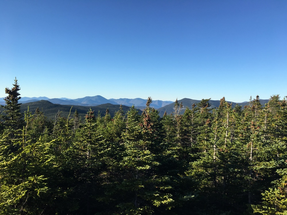
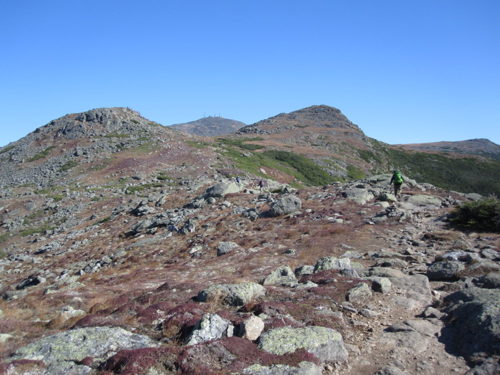
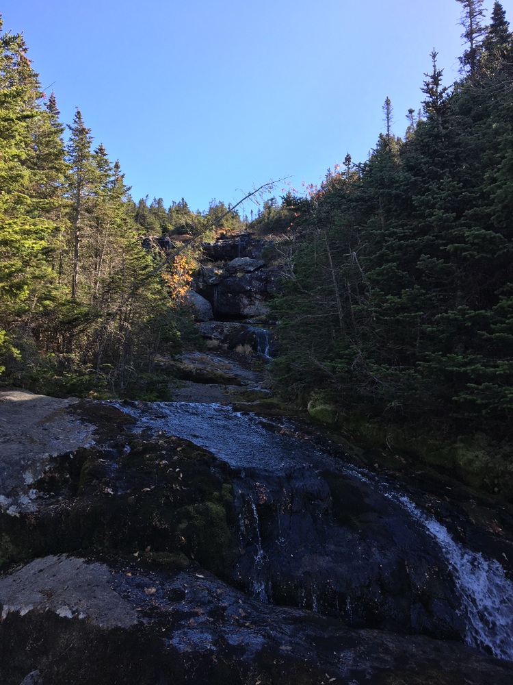
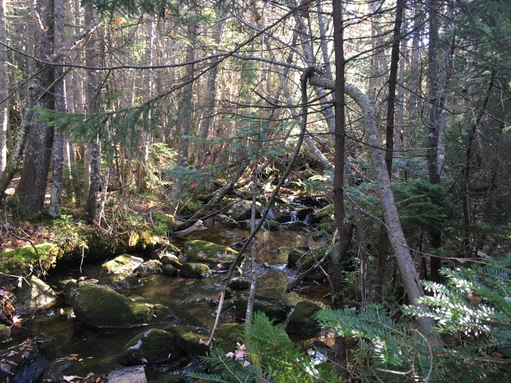
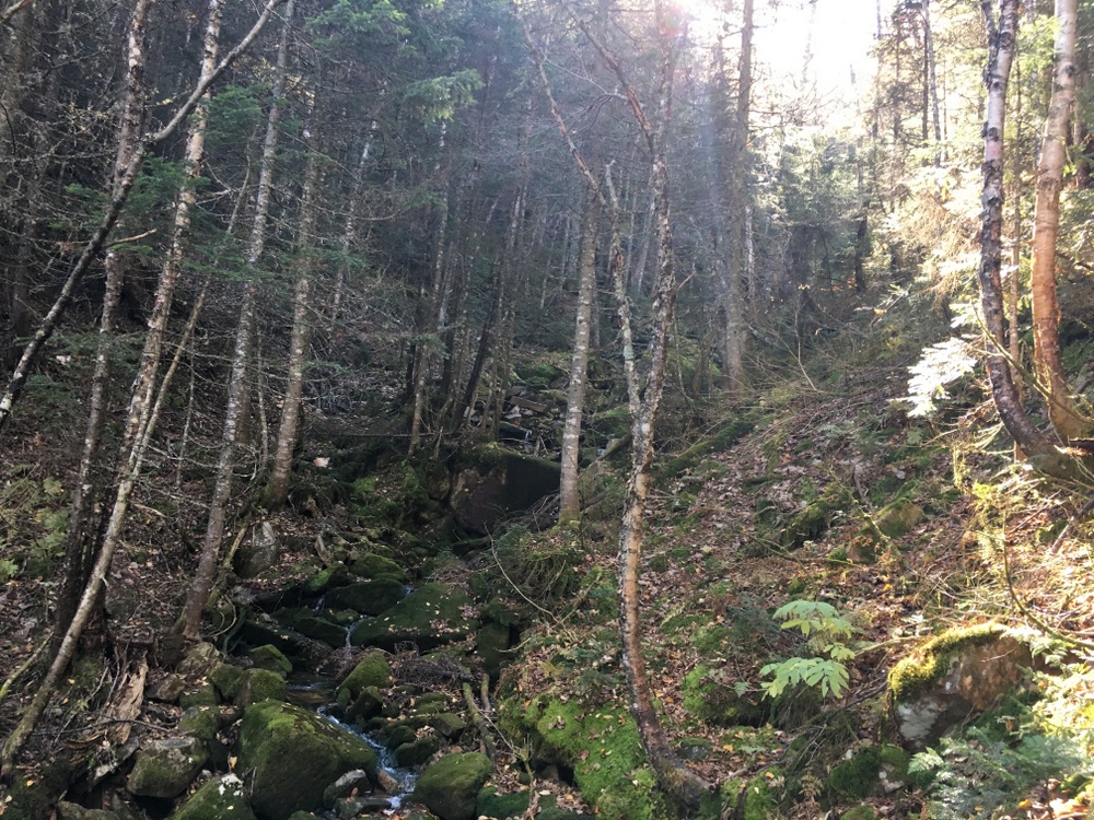
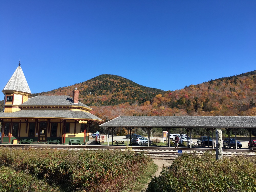
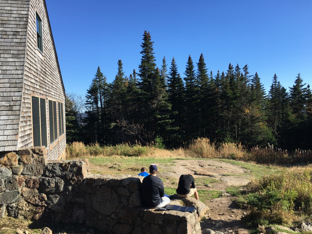
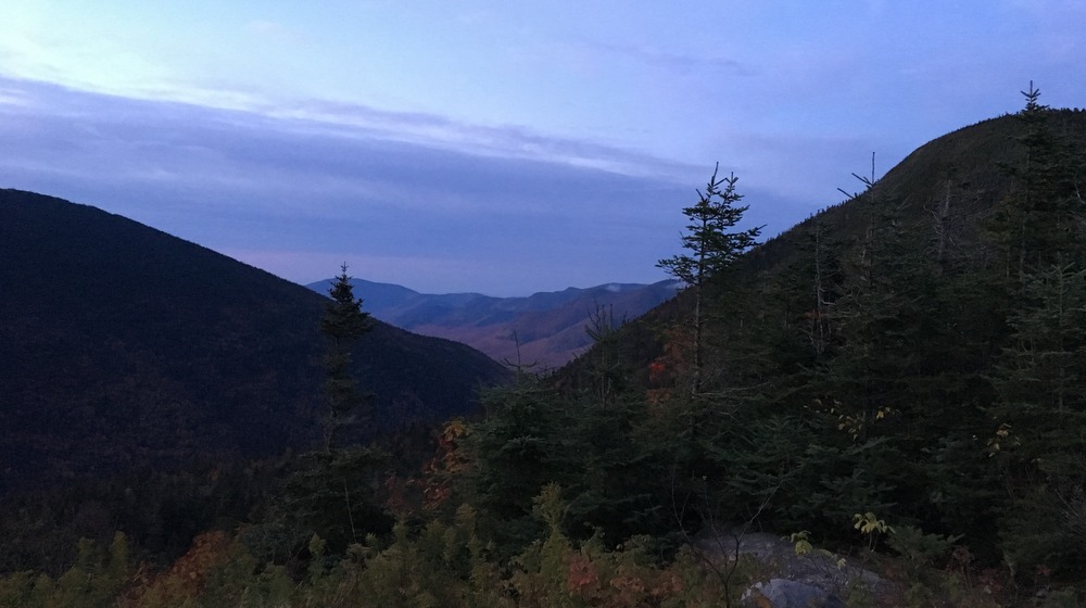
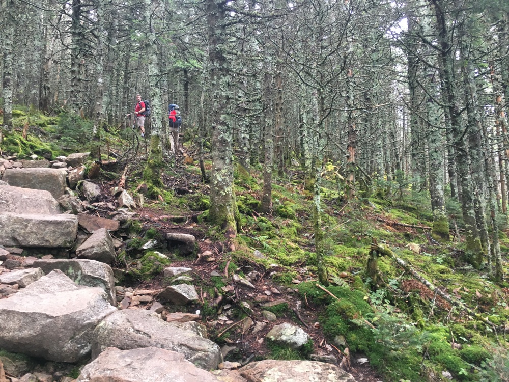
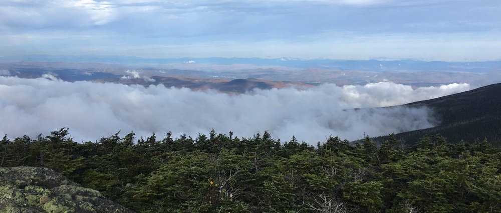
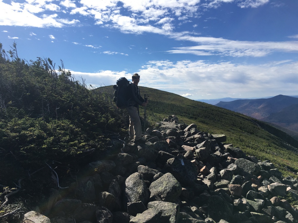
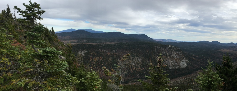
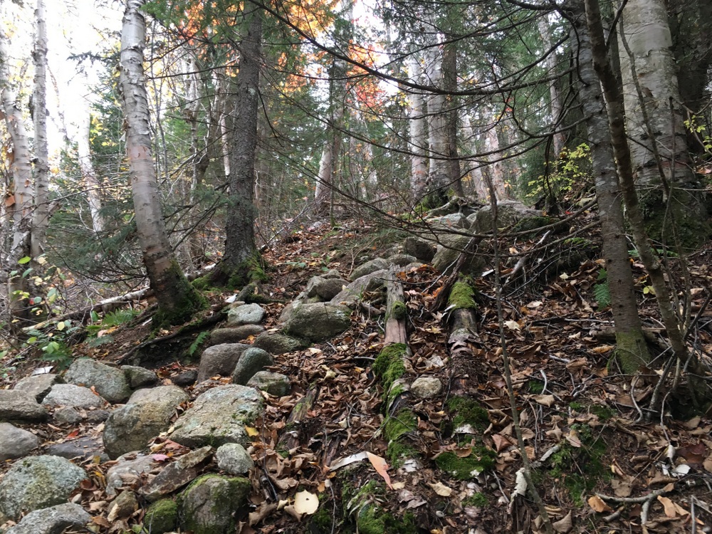
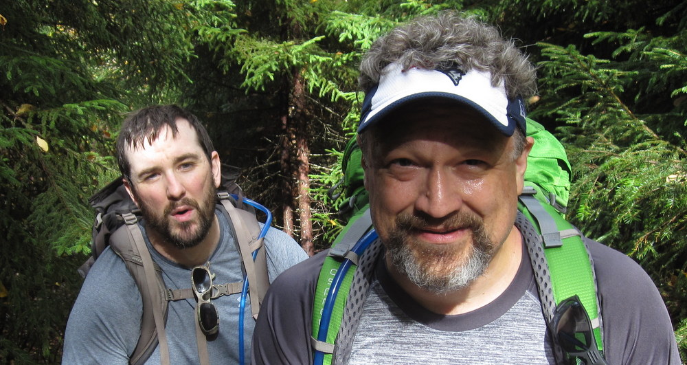
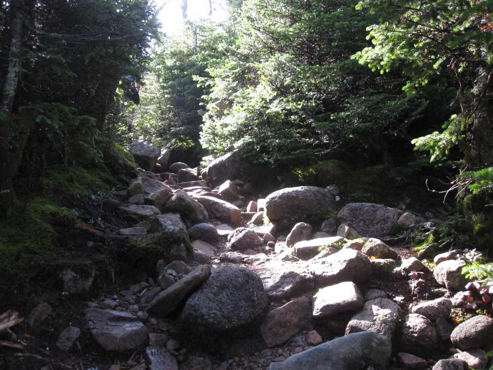
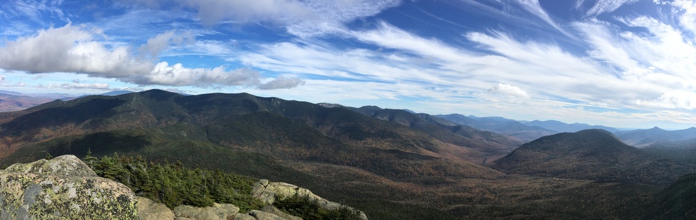
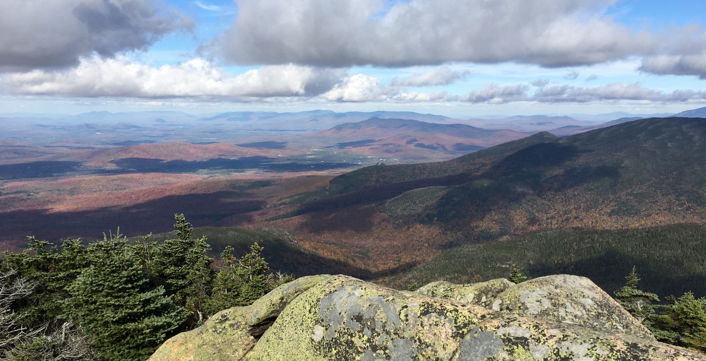
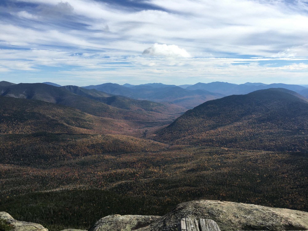
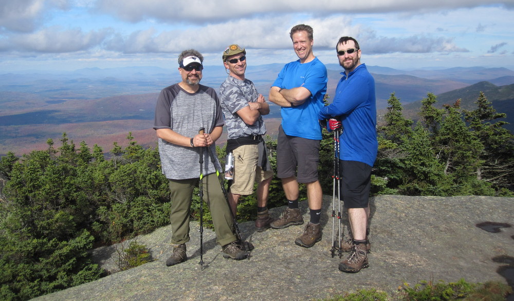
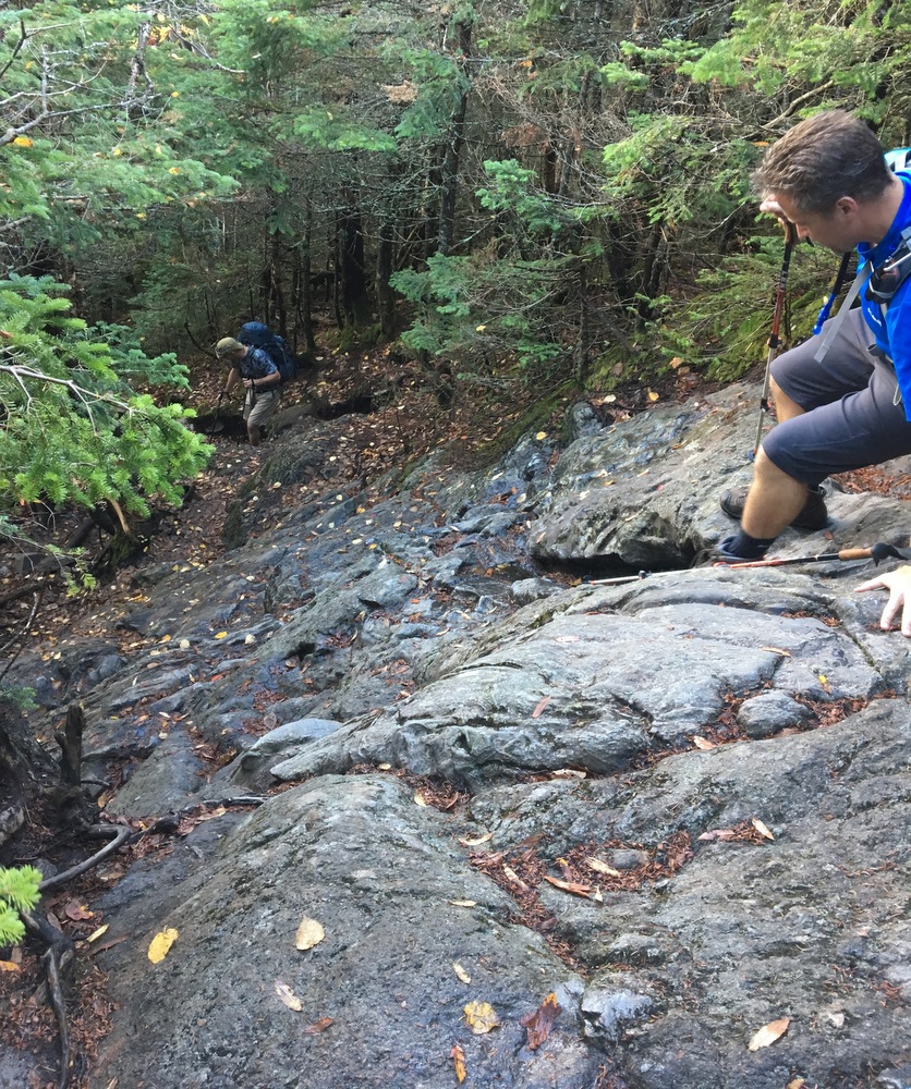
During my posts about the big hike this fall, I didn’t really talk much about gear, about the specifics of nutrition, about what I carried and wished I hadn’t, and so on. So I thought a short post on those subjects might be worth doing. There will be no exciting pictures, no trail descriptions, no soul-searching moments in the mountains … so feel free to skip this post if that’s not your thing.

My Gear, Toe to Head

Feet (Boots): Keen Targhee II Mid (Waterproof)

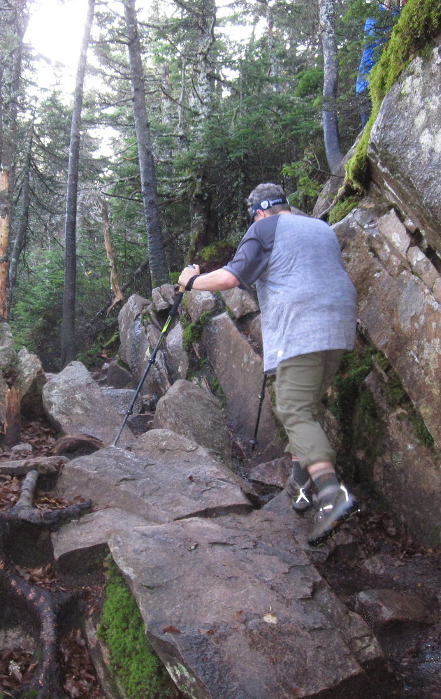
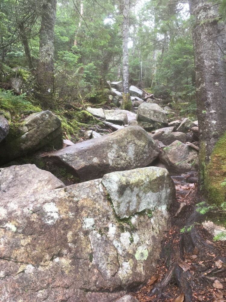
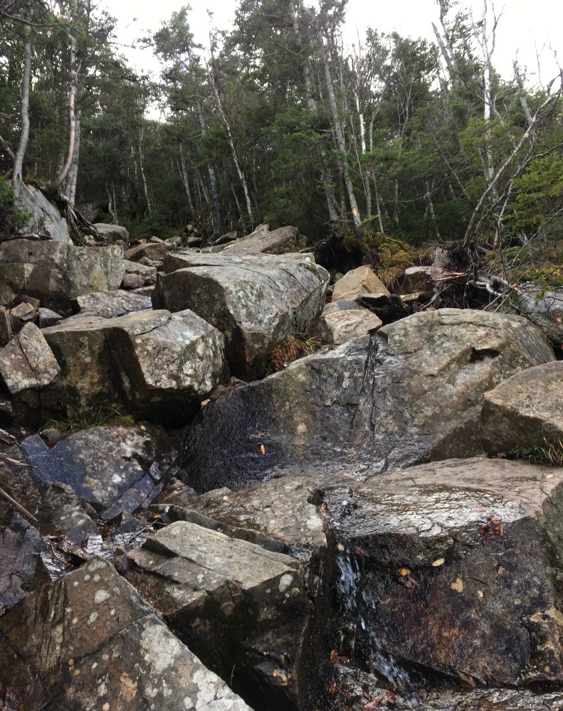
I bought these because I’d done some hikes in the Keen Voyageur hiking shoe, and knew that Keen’s widths worked well with my feet. I have slightly wide feet and one of my feet is shaped a little differently than the other, so I need a forgiving fit. These boots had decent reviews, were waterproof, and promised to fit well. I took a chance and ordered them online (free returns if needed) and was happy with the fit. I know that many people hike, even in the Whites, using nothing but trail running shoes, but I can’t imagine the terrain we hit working with that approach. I was glad to have sturdy, waterproof boots with excellent traction and a little extra support in the ankles. Often we were hiking on very uneven terrain, pointy rocks, wet rocks, and so on. I needed the stiff soles and needed to trust the traction. That said, the looser fit these boots had made for some challenging situations as I tried to tie them tightly enough that my foot wouldn’t slip inside the boot. I had no blisters, but my toes did “mash” into the toe box a bit more than I would have liked, and I ended the hike with two black toenails.

Feet (Socks): Darn Tough Hiker Micro Crew Cushion Socks

I’ve long been an advocate of Merino wool socks for hiking, but reading up on the subject made it clear that my usual, tall, thick socks might not work like I wanted for the long days in boots. I elected for this cushion level and size after reading numerous reviews. These socks are stupid expensive ($20+ for one pair) but they are guaranteed for life. They held up great; I wore a single pair all four days and they still look like new.

Feet (Socks, part deux): Fox River Outdoor Wick Dry Alturas Ultra-Lightweight Liner Socks

I don’t remember who put me onto these, but I never would have thought of it on my own. It’s not good enough to wear the 20 dollar wool socks, you need to put a six dollar layer between you and the wool. But don’t knock it until you’ve tried it. Four days of rough hiking and I had not a single hot spot or blister. These wick moisture quickly away to the outer layers so it doesn’t cause problems. They are super-thin and caused no comfort issues at all. I highly recommend coupling these with the wool socks for extended hikes. I brought two pairs and alternated between them, and I’ll never do a long hike without them again.

Legs (Pants): Prana Stretch Zion Pants

These consistently rate near the top in almost every men’s hiking pants review, and I needed a new pair of hiking pants anyway. I wore a pair and packed a second pair as an emergency backup, but I never needed the backup. The pants dried quickly overnight, they handled the occasional abuse of me sliding on my backside on the rocks, and did a great of keeping me warm from the wind on the exposed ridge line. They have a great range of motion due to the cut and the stretchy fabric, they don’t need a belt, and they have more than enough pockets. These pants were perfect.

On this trip I wore the ordinary (not “convertible”) pants, but I’ve worn the convertible pants as well and they’re also great. Either option is a sure bet.

Base Layer (Underwear): ExOfficio Men’s Give-N-Go Sport Mesh 6″ Boxer Brief

Avert your eyes if you’re unable to talk about underwear without giggling (or just giggle quietly; I don’t care). I wore a fresh pair of underwear each day; they’re light enough that I could afford the luxury of heading out in a clean pair each morning. In general, for this kind of extended hike you want synthetic (not cotton) underwear, and most male hikers prefer the “boxer-brief” style for a number of reasons. So I tried a few different brands, and this specific style from this particular brand was the clear winner.

And, yes, these were another 20 dollar luxury item (so I couldn’t in good conscience buy a pair of these for every day). It’s even hard to justify that cost for a single pair of underwear, but they’ll be the first pair I reach for for every future hike. They were lightweight, comfortable, supportive, and fit perfectly.

Note that I also tried the EMS version of this (for about a third of the price, purchased on a clearance sale) and found them nowhere near as comfortable. I didn’t even take them on the hike, opting for some generic athletic off-brand from Target instead.

Base Layer (Shirt): Russell Athletic Men’s Performance T-Shirt

These were nothing special; I just needed a reasonably priced polyester T-shirt and these fit reasonably well and didn’t break the bank. I wore a fresh shirt each day because I’m clean (or obsessive, you decide) like that. When I arrived at each hut, I switched into a clean shirt, wore it to bed, and wore it out of the hut the next morning. Something out trading out a sweaty t-shirt for a clean one before bed made me feel more civilized….

Other Shirts: Miscellaneous polyester shirts

I packed, but did not wear, a long-sleeve polyester T-shirt from Columbia. I didn’t need it. When temperatures demanded, I wore (over my T-shirt) a zip-up polyester sweatshirt. Nothing special, just a mid-weight sweatshirt/jacket which I could easily put on and take off depending on the needs of the day.

Camp Wear: Generic sweatpants and fleece sweatshirt, big wool socks, plastic sandals

Again, nothing special, but I packed a single pair of sweatpants and an old fleece sweatshirt, which I changed into each night when arriving at each hut. I also had a couple pairs of clean wool socks in a thicker cut (doubling as emergency backups in case my Darn Tough socks got soaked or something). I had a pair of light sandals to wear over the socks (don’t judge, nobody wants to carry real shoes in their backpack) so that I wasn’t wearing two pound boots to dinner.

Warm, clean, dry clothes were key to making me feel like a human as the hiking day ended. I further justified these by thinking that I could re-use these as emergency cold weather wear if needed.

Jacket: Marmot PreCip Jacket

I debated for a long time whether to buy a lightweight waterproof jacket. If we encountered rain, I would be glad I had one. If we didn’t, I would have spent a hundred dollars on fancy waterproof material when a simple windbreaker would have done fine. In the end, I decided I should have a waterproof jacket anyway (and I didn’t), so I bought the PreCip, often considered a best “bang for the buck” value in the hiking rain jacket category. It folds down to a tiny, lightweight package, so it didn’t add much to my pack. I ended up wearing it just once, but its wind-resistance saved the day when hiking along the ridgeline on day four.

Hats: Generic beanie and visor

Again, nothing special. The beanie was useful late night and early morning in the cold huts, as well as on the ridge line on day four. The visor was all-purpose headgear when it wasn’t cold enough for a hat but I wanted the sun off my face. I’d have used a baseball cap or hiking hat but my head is huge and usually looks ridiculous in those kinds of hats. I also had a pair of thin gloves which saw limited (but appreciated) use.

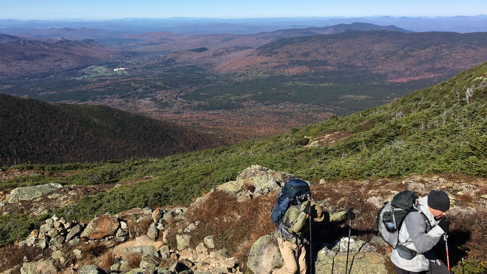
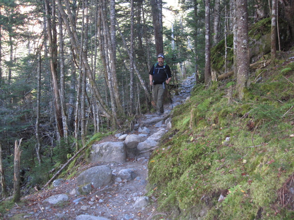
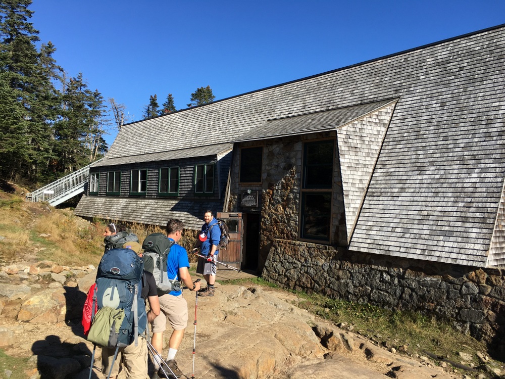
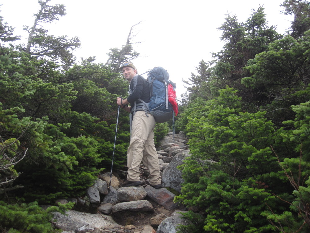
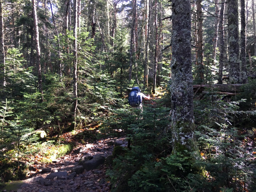
Backpack: Osprey Atmos 50 AG

I splurged on a really good backpack. I knew the weight would be a big deal, and I needed to minimize its impact with an excellent frame and a good suspension system. I went to a backpacking store and let them convince me to buy the best bag they had in stock. No regrets here, even though out of all the gear it’s the least likely to see use outside of extended hiking trips. I also splurged for the Osprey waterproof pack cover, that never saw use.

Hydration: CamelBak Crux 3L

You need instant access to your water so a hydration reservoir was a necessity (having to open and close a bottle each time I took a sip would have driven me nuts). Each time I refilled it I had less than a half-liter of water left in it, so clearly I needed this large size, too. In addition, I carried 40 ounces of Gatorade each day (two 20 ounce bottles, made with instant Gatorade powder). I would drink from these whenever we stopped to eat. I probably could have gotten away with only one of those, and drank it at lunch each day, but it worked out fine to have two.

Trekking Poles: Cascade Mountain Tech 100% Carbon Fiber Trekking Poles Quick Lock

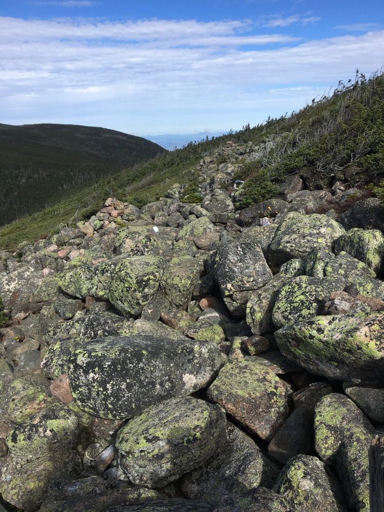
Poles are a necessity. They don’t need to be fancy, but they need to work. You have to trust them with a significant portion of your body weight. I practiced with these before the hike, dialed in how I wanted to have them in terms of pole length and walking style, and got used to how they felt. I used them for almost every step I took on the hike. On easy ground they simply spread your weight around a bit; on rough ground they turn your two-wheel drive body into a four-wheel drive off-roading machine. Like your boots, you have to trust these completely at times, so be sure you have them locked tight.

Headlamp: Black Diamond Spot Headlamp

A necessity for emergency use as well as simply getting around the huts. I picked this model due to solid reviews, dual-color (white and red, a necessity for preserving night vision) as well as using ordinary batteries (so I could bring spares).

Miscellaneous Stuff I Carried

  • An Anker Powercore 13000 kept my phone charged up. I left the phone in airplane mode whenever we had no signal (most of the time) and used it chiefly for taking pictures. When we had signal, I’d usually send a few texts to reassure my family I was still alive, and then put it back in airplane mode. Each day I started at 100% and finished around 30, and would charge it back up overnight with the Anker (which is why I have so few pictures of the huts in the afternoon or evening). Well worth its weight.
  • A Coleman flask filled with Glendalough Double Barrel Irish Whiskey. A couple ounces of Whiskey a night made the entire trip feel less like a survival exercise. Others brought Bourbon, and we shared freely. No need to drink to excess; nobody needs a hangover while hiking.
  • A full-size cotton sheet sewn into a sleeping-bag liner shape. It was worth having a sheet to keep me a little isolated from the wool blankets.
  • A toiletries and first aid bag, with hand sanitizer, Coleman Biowipes (perfect for a morning “hiker’s shower”), toilet paper (just in case), contacts, glasses, deodorant, toothbrush and toothpaste, medicines, tape, Gold Bond medicated powder (another step in the “hiker’s shower”), and more I’m probably forgetting.
  • A fancy fast-drying “camp towel” which I didn’t use once and wouldn’t bring again.
  • A journal, a paperback novel, and a pen. The journal and the pen, yes, worth taking. The book? Not so much. There are reading libraries at each hut.
  • Emergency supplies including a small water filter, extra boot laces, a small knife, a whistle, etc. Not heavy enough to leave behind, but not really necessary for everyone to have. In a group, you can coordinate and split this responsibility up, but you need some level of this kind of stuff.
  • Bags! Extra ziplock backs, extra trash bags. I had 4 kitchen trash bags in active use on the hike. One held my “hut” supplies (sheet, camp clothes), one held my dirty laundry, one held my trash, and the other held everything else. They kept my gear somewhat organized and dry even if I put my backpack down on wet ground. The extra zip-locks were great for isolating trash, keeping wet items away from dry, etc.

Miscellaneous Stuff I Didn’t Carry

Some gear that was “on the bubble” and didn’t make the cut?

  • Thermal underwear. The weather forecast didn’t require it.
  • A puffy jacket. I took a gamble that the fleece and the PreCip would get the job done (and I was right).
  • Rain pants.
  • Bug repellent.
  • Binoculars.
  • A lighter (I knew someone else would have it).

Nutrition

With our breakfasts and dinners taken care of, I decided on a “snack only” approach to the rest of the day. I carried three or four larger snack items (like a granola bar or protein bar) each day, supplemented with a homemade trail mix made of fruit, nuts, and starchy snack mix items (pretzels, etc). This was easier than trying to have a real “lunch” but by the end of the third day of eating the same type of “snack” at every break I was pretty sick of it. I made a critical error with the trail mix, not knowing how much to bring, and brought easily twice as much as I needed (and that was with trying to eat more to have less to carry).

Pack Weight

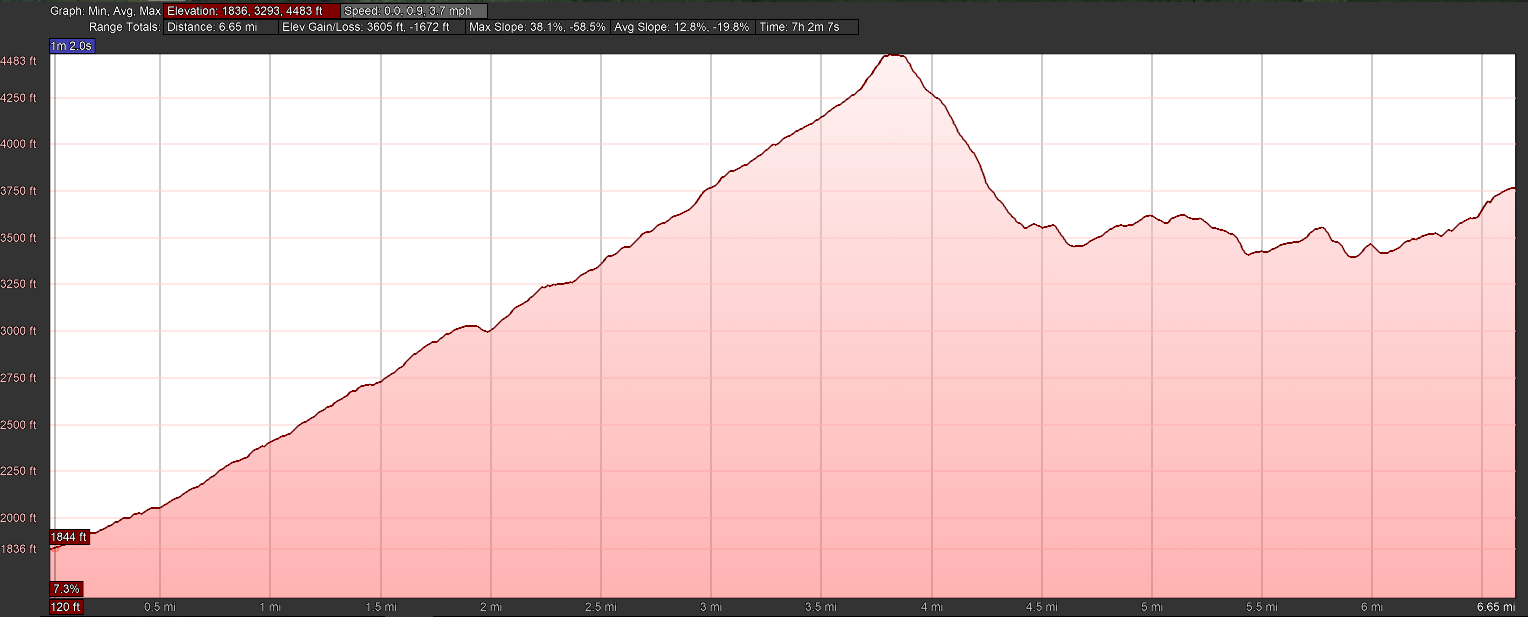
My “dry” pack weight at the start of the hike was around 22.5 pounds, including the weight of the bag itself. A full load of fluids (100 ounces of water, 40 ounces of Gatorade) would add almost nine more pounds, taking me over 30 pounds of weight. This would drop steadily over the day and then restart at full weight again in the morning. With my fitness level, this was probably too heavy. Losing two to four pounds from this would be a good goal for next time. Of course, we were extremely lucky when it came to weather; with real rain the pack might even be heavier with more specialty gear.

2017 Hut Hike – Day Four

(Some photos on these posts are courtesy my friends Bryan and Topher and posted with their permission.  This series of posts will be fairly photo-heavy.)

Day Four – Mizpah Springs Hut to … home

(I’ll supply an elevation profile for each day, courtesy GPS data from Bryan and processing done by Google Earth.)

My third sunrise in the mountains did not disappoint.  It was cold outside, but I was dressed appropriately and enjoyed my coffee in peace.

Oatmeal, bacon, and pancakes again — solid hiking fuel! My knees were pretty beat up at this point; even a night’s sleep didn’t cure them and every stair climb (the hut had a short upstairs to reach the bunk rooms) was a reminder of my age and fitness level. I joked that I shouldn’t have opted to take my father’s knees with me on the trip.

It was cold; we left the hut bundled up much more than usual. Our plan was to head to Lakes of the Clouds Hut along the Appalachian Trail, and then hike down the Ammonoosuc Ravine Trail to the car. We reserved the right to hit various summits along the way (beyond Mt. Pierce, which we’d summit by nature of the trail itself), including potentially Mt. Washington (which we all silently agreed was probably not in the cards, given our [mostly my] pace and body condition). Adding Mt. Washington would add “just” three miles to our day, but we all knew they were three hard miles with the potential to end the trip on a sour note. Still, we left our options open.

We began with a short climb (0.8 miles, 550 feet) to the summit of Mt. Pierce. The temperatures began to warm up slighty as the sun rose, but the wind picked up the higher we climbed.

The trail leading from Mt. Pierce to Lakes of the Clouds is mostly an exposed ridge line, and we fought the wind almost constantly.

It would occasionally dip below the treeline, giving us a moment of shelter, but most of the time we were quietly trudging on bare rock and fighting to maintain our balance in wind.

On the plus side, though, the trail we took did not climb or descend too steeply at any time. It was a constant struggle against the wind, but we didn’t have the added difficulty of steep climbs.

We had several optional summits available to us as we hiked (Eisenhower, Franklin, Monroe) but we skipped them all. We weren’t here to check off mountaintops, and the views were already amazing (when we could stop and enjoy them) from the exposed ridge line.

It really was a fantastic experience, but it sapped all our energy. We arrived at Lakes of the Clouds (closed for the season) and tried our best to find shelter from the wind.

We ate lunch (Bryan even broke out the stove and boiled water for ramen) and decided we were not going to fight that wind for another 3 miles. We didn’t even want to summit Monroe, never mind Washington. So we turned our attention to the Ammonoosuc Ravine Trail.

We had been warned earlier in our trip that this trail was steep and difficult when wet. It was three miles long and descended a half mile, and steep was an understatement. Its first mile or so often felt like it was going straight down (1500-foot descent), often on an exposed rock face, often hiking directly on the same wet rocks which the fledgling Ammonoosuc River was flowing over.

At the very top, the parts in the shade were still frozen, adding a little extra challenge to the descent. This trail seems like a place where fresh legs would have been beneficial — our tired bodies and sore knees were a constant challenge on this trail. I sat down a few times and shimmied on my backside, rather than trying to figure out the best way to balance my tired body on my beaten knees (and risk tipping forward or falling backward and losing control).

Finally, the trail began to even out, and then it became downright pleasant. We hiked alongside the river, now swollen with water and beautiful, down a mostly gentle descent.

We took a moment to look back at the peak and saw how exposed the trail had been; we each photographed it to try and preserve the memory.

We followed the river and mostly quieted down, as we realized we had conquered the only real remaining difficult part of the hike together, and now we just had to finish a “walk in the woods” before it was all done. Alone with our thoughts, we spread out a bit and marched through the woods.

Eventually it leveled out completely, and a final mile or so through the woods led us to the same parking lot where the car had been left four days prior. It was 3 PM.

We stretched out, we hugged each other, we congratulated each other, we sat down on the grass and took off our boots, and then we packed our four bodies and four giant backpacks into the tiny Mazda 3 for the 17-mile drive to the other car.

A bit more than an hour later, those of us who had brought a change of clothes felt a bit more refreshed, and we sat down for dinner at the Woodstock Inn. We drank tall draft beers, we devoured appetizers, and ate those steak dinners we had been talking about for days. We looked back on the toughest parts, we laughed about the attitudes of some of the people we had met, we reminisced about the incredible views. We finished our food and still didn’t leave. We knew the real world awaited us … three hours of driving (with our sore knees that was something to dread!) was all that separated us from a return to reality.

It was hard to walk away from that restaurant, but we eventually did, sharing the highway with commuters ending their work-weeks.  Everything felt fast. The beautiful mountains and forests of New Hampshire turned into the familiar roads of 495 and 290.

And after three hours of driving, my daughter came running out of my house and gave me the biggest hug I think I’ve ever gotten from her. I was glad to be home.

But … I was certainly going to miss those morning coffees as the sky slowly brightened in the silent mountains of New Hampshire. I knew right then (and I know now) that I’ll be back, eventually.

2017 Hut Hike – Day Three

(Some photos on these posts are courtesy my friends Bryan and Topher and posted with their permission.  This series of posts will be fairly photo-heavy.)

Day Three – Zealand Falls Hut to Mizpah Springs Hut

(I’ll supply an elevation profile for each day, courtesy GPS data from Bryan and processing done by Google Earth.)

With morning came clearer skies and another beautiful mountain sunrise.

Breakfast on the third day was oatmeal again, but followed up with pancakes and bacon. The previous day, we had discussed our options for Day Three. Our plans called for two possible approaches to Mizpah Springs Hut. Both took us down to Route 302 for a midday break. One was substantially more difficult than the other, and even with a good pace would get us into the hut after dark. Looking back on day one, we had all decided the shorter route was better. It would get us into the hut by mid-afternoon again, giving us a chance to rest and relax before our last day, when we would have some rougher climbing to do.

So the day started with a descent down to Zealand Pond and some nice hiking through forested terrain. The path was a mix of ups and downs which eventually dropped us a few hundred feet in elevation.

There was a mild but persistent unpleasant odor here, maybe from the pond ecosystem, maybe from the hut’s compost system, we weren’t quite sure. The bridges here were frosted and slippery, a little preview of cooler weather to come.

The path began to slope more upwards before cresting and then descending consistently towards Route 302.

We took the A-Z Trail and the Avalon Trail for about five miles, over around four hours of hiking to arrive at the Crawford Notch Highland Center in time for a lunch break.

It was interesting going from the more remote areas of the mountains into this more popular section; we passed day hikers with no packs, groups of kids playing and throwing rocks in rivers, and other signs of “civilization” which seemed at odds with how we had spent the last couple days.

But the trails themselves were mostly pleasant (yes, there were some steep challenges but they never turned into hours-long endurance events).

The unfortunate story of the third day was one of cumulative damage. No particular section was terribly difficult or painful, but every downhill step caused my knee to twinge in pain, and it started to happen on uphills too. I felt not just “out of shape” but older and weaker as well. It was frustrating because my spirits were high and my overall physical approach felt stronger than on the first day, but the repeated ups and downs were causing pain at every step. I quietly worried I was damaging my knees, but kept up a solid pace.

We broke for a trail lunch (granola bars, trail mix, jerky — the usual) out on the patio of the Highland Center. We even bought a beer for each of us, and sitting in the warm sun sipping a cold, well-earned pale ale is one of my more pleasant memories of this trip.

After using the facilities and discarding some of our accumulated trash (lightening our backpacks and giving us a chance to wash our hands with actual warm water!) we crossed Route 302 and started the climb to Mizpah Springs Hut via the Crawford Trail. This section of trail climbed steadily up, 1500 feet in a mile and a half, but we actually made time on that leg as compared to our predicted pace, which was a first. My knees were grateful that the downhills had stopped, and maybe that cold beer had alleviated the pain a bit. A comfortable 0.7 mile cutoff from the trail to the hut brought us to our last overnight stop of the trail at 3 PM, with a few hours of warm sunlight awaiting us.

It was the most pleasant afternoon of our trip, sitting outside in the sun, finishing off our whiskey and sausage, and reflecting on our progress so far. We went inside and played cards, we made conversation with our fellow hikers, and we were acutely aware that our little vacation from reality was approaching its completion.

Dinner was an incredible carrot, ginger, and quinoa soup with loaves of fresh bread (honestly, I could have eaten just that) followed by some salad and a lasagna (for my non-dairy diet, they prepared some pasta and sauce, which was fine but I just wanted more soup and bread). Every meal came in four courses — soup/bread, salad, main dish, and dessert. I’ve not focused much on the other courses, but the Croo puts a lot of work into all of them and they were always much appreciated.

After dinner, we stepped outside with most of the other guests and admired the stars as a member of the Croo explained the Milky Way and pointed out constellations with a laser pointer. The view of the night sky was amazing, one of the highlights of the trip. Without a moon and with minimal night pollution, the Milky Way stood clearly visible and every section of night sky rewarded us with an explosion of stars. It was hard to go back in.

We stayed up until lights-out, playing Pitch in the hut’s library as a couple played Bananagrams next to us at the same table. I think we wanted to extend this night as long as possible. I read in my bunk for a little while, and finally drifted off to another good night’s sleep, cold but bundled-up in an eight-bed bunk room we had to ourselves. At six, again, I stepped outside for my last open-air coffee of the trip, and made it back inside in time for the 6:30 wake-up, a pleasant song played on ukulele by one of the Croo (I’ve not mentioned this before, but every morning the Croo wakes anybody still asleep up at 6:30 with a song, a poem, or a passage from a book; the ukulele was the most pleasant of the trip).

2017 Hut Hike – Day Two

(Some photos on these posts are courtesy my friends Bryan and Topher and posted with their permission.  This series of posts will be fairly photo-heavy.)

Day Two – October 11 (Galehead Hut to Zealand Falls Hut)

(I’ll supply an elevation profile for each day, courtesy GPS data from Bryan and processing done by Google Earth.)

The first step was obviously to get a few cups of coffee into my tired body.  The lights you see below are battery-powered; the batteries are charged by solar panels, small wind generators, and in some cases even water generators.  The huts are completely off the grid. In most of them, I had no cellular signal.

The sun was rising, and the painful memories of the prior day’s final half-mile were already fading.  There was a brisk breeze and the early-morning air was crisp.

The hut was nowhere near full capacity, but probably had around 16 people in it, which made for a lively morning. I snapped a few photos of things I had missed the night before, including this amusing claim (perhaps true!).

We ate oatmeal with brown sugar and canned peaches, watery scrambled eggs (made better with a dash of tabasco), and slightly-burned sausage patties. It was all much better than it had any right to be — my appetite had definitely returned overnight.

The second day was a night-and-day difference from the first. My knees and legs were often uncomfortable, but I never felt broken, never felt defeated. I ate enough, drank enough, and though my pace was slower than expected I was not dragging.

When we left the hut, some heavy clouds had rolled in, but they didn’t last long.

Starting a full two hours earlier than the day before with a healthy breakfast in our stomachs made the initial climb to the South Twin Summit (via the Twinway trail, 1150 feet of elevation gain in 0.8 miles) tiring but not exhausting.

We paused periodically for dramatic views behind us as we climbed.

The higher we got, the thinner and smaller the trees got.

From the top, we were in the position of seeing clouds above and below, a striking contrast.

We hiked a bit more than six additional miles that day, across a variety of terrains. In many spots, we followed a somewhat uncomfortable trail of rocks in an ocean of tiny scrub pines.  It was better than climbing up and down giant boulders, but was a constant source of discomfort on the soles of our feet, and a mental challenge balancing and finding good footing.

In others, we had short up and down climbs on boulders. We even hiked across wooden slats on a small alpine bog (where we spotted moose droppings). We took a small trail (Zeacliff Loop) to enjoy spectacular views from Zeacliff.

Following that, we had a short mile and a quarter hike across fairly easy terrain to arrive at Zealand Falls hut.  There was a steady downhill for a good chunk of the afternoon but nothing too challenging.

Zealand Falls was spectacular; a great view from right in front of the hut, and an even better one from a few yards away, where the river danced over rocks before heading down to a pond.

We arrived at 3:30, a full two hours after our original projections (a slower pace and longer breaks likely to blame), but still with plenty of time to enjoy the afternoon sitting on the rocks near the waterfall. I even soaked my feet in the frigid mountain water (the novelty of my numb feet wore off quickly, though). This had been intended to be a short day, and it felt it. We were refreshed and energized, and I personally had a substantial amount of confidence restored. This was about the difficulty level I had predicted in my mind when evaluating the hike, challenging but workable, tiring but not exhausting, and knowing I wasn’t completely off my rocker was comforting.  I had no doubt in my mind I could handle (even thoroughly enjoy) four days like this one.

Dinner was billed as “pulled pork” but was really just thick cuts of roast pork. With rice and simple broccoli on the side, it was a wholesome but somewhat bland dinner (a pleasant change from the last night’s black beans, honestly). We sat at two long tables, with about 16 guests sharing dinner family style. One of the guests was a mother who had brought her toddler daughter along for the hike. The little girl was energetic and friendly and made for a fun evening with her dashing around making friends with everyone and offering to help with various tasks. She even washed dishes with the Croo after dinner.

The accommodations were slightly different here; there were basically two large bunk rooms (with some side areas, but all open to each other) with bunks three in height. We shared the space with a significant number of other hikers. There was less privacy, but we adjusted quickly.  Unlike at Galehead, using the bathroom meant going outside. The temperatures took a massive dive at dark, and thicker clouds rolled in (no stars this night) and we all bundled up as much as we could to sleep. I slept well, even though I could see my breath and froze every time I shifted position to touch a new cold spot on the mattress.

Around six, I rose and stepped outside, again to watch the sky lighten. It was another new day, and this time after an excellent night’s sleep and with much buoyed spirits.

2017 Hut Hike – Day One

(Some photos on these posts are courtesy my friends Bryan and Topher and posted with their permission.  This series of posts will be fairly photo-heavy.)

Getting Started – October 10

I started the day early Tuesday, out the door by 5:30 AM, heading east and then north. In the back of my car was a backpack, a pair of trekking poles, a pair of boots, and a change of clothes for Friday evening. On the seat next to me was a printout of directions to the parking lot of the Mt. Washington Cog Railway (in case my GPS crapped out or something), where I was meeting my fellow hikers, two friends from work (Bryan and Topher) and a friend of theirs from outside the office (Jeremy).

Once I cleared out of MA and into NH, the reality of the situation sank in; I was a relative novice, going into the mountains for four days with three experienced hikers. I’d invested a lot into my fitness over the few months before the hike, but I was still relatively out of shape, overweight, and had no idea what I was really in for. They’d all done this annually for the past five years, I’d admired their stories from afar until convincing myself I could handle it this time around.

Nervousness and excitement competed for top billing. I drank coffee and ate high-carb breakfast snacks from various rest stops on the way. As the miles rolled by, the foliage changed more drastically, into deep golden yellows and rich reds.

I finally met my friends, and we left my car at the base of the Ammonoosuc Ravine trail. I filled out an envelope with contact information and expected return date, stuffed it and a 20-dollar bill in the lockbox, and abandoned my car. The four of us took a second car the 17 miles to the Garfield Trail trailhead, and parked there. A little stretching, a lot of laughing, and we were ready to begin our journey.

The plan? Four days in the White Mountains, three nights in AMC Huts along the way. The huts provide dinner and breakfast, so we just had lunch and snacks to worry about. They also provide bunks to sleep in, and blankets, meaning we could get away with minimal sleeping gear (I brought a sheet sewn into a crude approximation of a sleeping bag, to protect me from both the cold plastic mattress pads and the questionably clean wool blankets).

We’d bond over the physical activity and relative isolation, trade stories, admire nature, think deep thoughts, drink whiskey under the stars, stumble out of the woods on Friday, change into clean clothes, find a place to eat a big steak dinner and look back on our accomplishments as true mountain men.

Or, you know, die trying.

And that’s … almost how it went down.

Day One – October 10

(I’ll supply an elevation profile for each day, courtesy GPS data from Bryan and processing done by Google Earth.)

We started by hiking along the Garfield Trail, a five mile trail that climbs a hair over 3000 feet to the summit of Mt. Garfield (the last 0.2 miles is an extension along the Garfield Ridge Trail that continues to the top).  The trail is a steady uphill through the forest, giving some excellent photo opportunities.

The weather was warm (upper 60s) and humid, and with the exertion of the hike we were all feeling a bit sweaty before too long.

It took us about four hours (10:30 AM to 2:30 PM) to cover the five miles, with a few breaks along the way (this was how long we had planned it would take, though we started half an hour late). We dropped our packs at the trail intersection before the summit and enjoyed an easier climb to the top.

The views from the old fire tower foundation were amazing; the mountains spread out in all directions and the clouds cast big shadows on the valleys below. I felt accomplished and tired, five miles of uphill hiking with some fairly steep sections was enough to remind these bones of their age. We took a healthy break, admired the scenery, talked with other hikers, and generally enjoyed the fruits of our labors.

But, the day was only halfway through. I’m not sure what to blame for the remainder of the day; perhaps I hadn’t hydrated or eaten correctly (the lack of protein in my breakfast choices, maybe). Perhaps I just needed to speak up and take more breaks. Or, perhaps, I wasn’t quite ready for this hike at the fitness level I’ve achieved. Either way, it was a real challenge.

Back at the intersection where our packs were, a sign told us we had 2.9 miles to go to reach Galehead Hut, along the Garfield Ridge Trail. This was without a doubt the longest three mile hike of my life. The Garfield Ridge Trail starts with a steep descent (around 1,000 feet in a half mile) which took a long time due to the steep conditions and my lack of practice with heavy loads and rocky trails.

What made it more challenging were the times when you could see the hut in the distance, only to realize you had to go down and then back up multiple times to reach it. We pressed on, climbing back up and back down multiple times, hiking along a rocky trail that at times was a waterfall. Each difficult stretch was something I could have handled in isolation, but the compounded challenge, combined with the unfamiliarity of hiking with a big 30 pound pack on my back, made for one of toughest physical challenges of my adult life.

Unlike the first half of the day, it felt like I was boxing way above my weight class. Exhaustion began to pile up, and my mood soured a bit.

The final half mile approach to Galehead is steep (1800 feet uphill, in about a half mile), and my body was completely drained. I hit the proverbial wall, the “bonk” that distance runners talk about. Every step was painful and tiring, and I was acutely aware of how much I was slowing the pace of my friends (even so, I paused to take in the beauty of the valley view seen below). I felt frustrated and broken and was scared for how the remainder of the trip was going to go. Every day, mile-wise, was going to be close to this long. Some had the potential to be much longer, depending on which trails we took.

Bryan and Jeremy hiked ahead, to check in at the hut and make sure they held dinner in case it took me too long, leaving Topher to accompany me. With about a quarter mile to go, he took my pack from me. I had trouble letting him do this, but he insisted he could handle it for the short remaining hike. Finally, Jeremy returned to us (having left his pack at the hut), and took my pack. We pushed through the remaining couple hundred yards and were rewarded with the beatiful sight of Galehead hut.

I had no appetite, no desire to celebrate the day. I wanted a nap, but instead I went through the motions with my friends, ate delicious but unwanted food (no fault of the excellent Hut Croo, who made a delicious non-dairy vegetable and black bean burrito which would have been welcome at almost any other time), drank a ton of water and some decaf coffee, and a couple hours later finally began to feel human again. Sipping whiskey in the twilight, we had an honest discussion about the remainder of the trip. I confessed that if there were three more days like this one, I would probably not make it. We looked over topographic maps, consulted notes, and concluded that while there were parts of every remaining day which would be as difficult as anything we did the first day, none of the days would have the cumulative effect we had just felt. Not only that, each new day would start bright and early instead of at 10:30 in the morning after a three and a half hour drive.

So, I was going to give it my best, and they were going to hike alongside me. I knew I was slowing them down and forcing them away from optional parts of the trip which would have been more challenging and rewarding for them, but they wanted to keep the hike inclusive. I appreciated it more than they probably know.

As the kind of darkness you only get in the wilderness fell, we sat outside on the porch, admired the Milky Way, and then went to bed early. We had a bunk room to ourselves (8 bunks), and we did our best to muffle each others’ snores with ear plugs.

I slept fitfully at first, my mind replaying the entirety of the day’s physical and mental effort in half-awake dreams, tossing and turning and getting up for bathroom breaks repeatedly until a bit after midnight. Then, finally, I fell into a deep sleep, until a little after 5 AM. I woke up, stepped outside, and watched the lightening sky. I was cautiously optimistic.

A new day awaited.