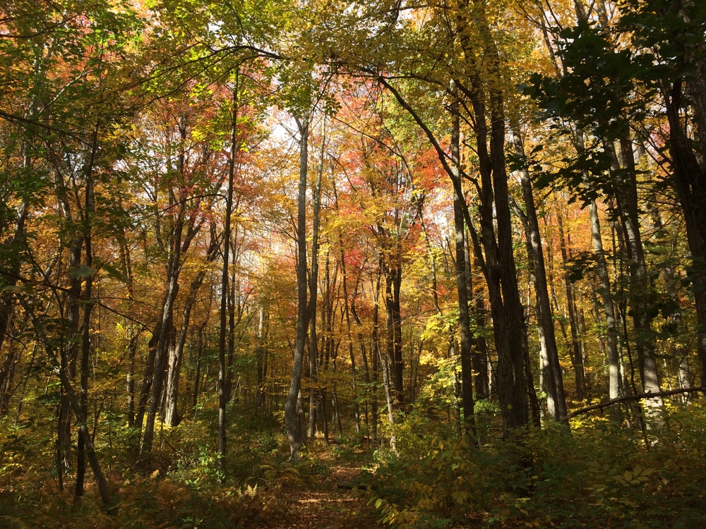
It seems a recurring theme that we don’t have as much time to explore the trails on our Saturdays as we used to. Real life conspires to sap away even our protected time. And so last weekend we again found ourselves looking for a close hike which wouldn’t take up too much of our time.
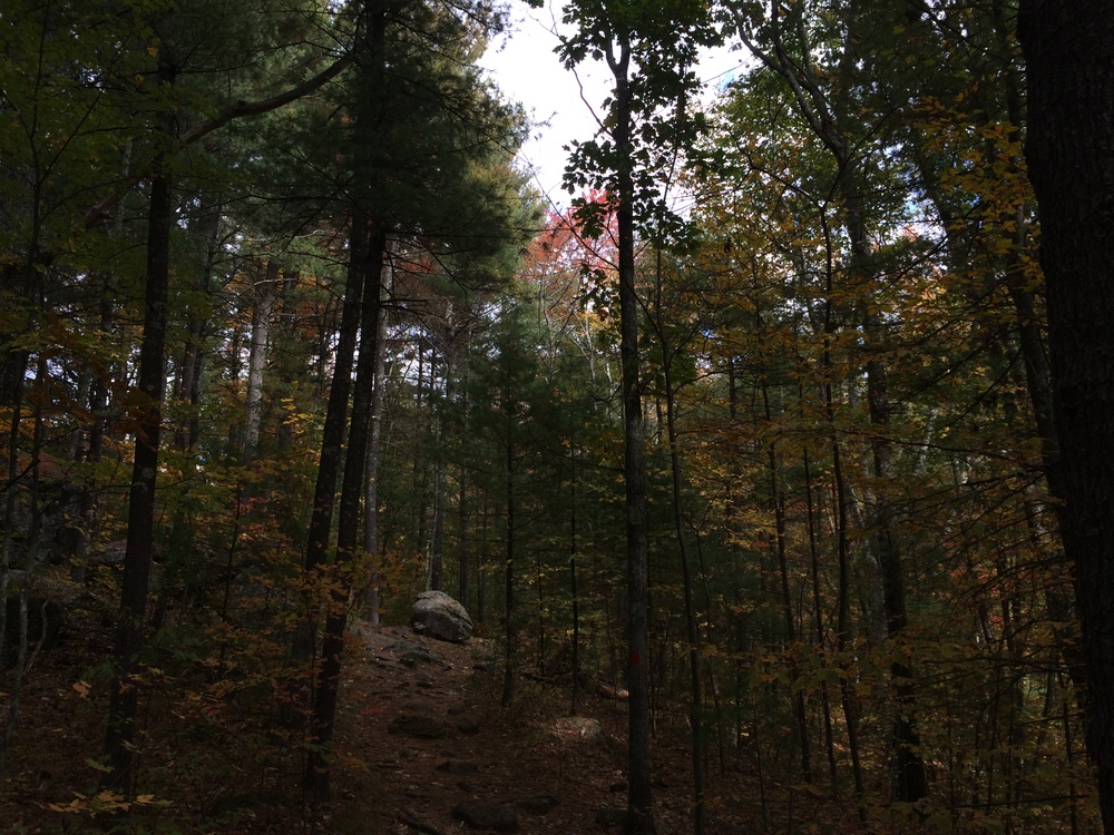
We ended up driving towards one trail and stopping at another; we saw a parking area on Holland Road in Sturbridge with a Friends of Sturbridge Trails sign on it, and decided to see what it was. It turns out, it’s a somewhat new extension of the existing Grand Trunk Trail. This section walks along the Quineboag River to the East Brimfield Dam, and will eventually connect into the Brimfield section of the trail.
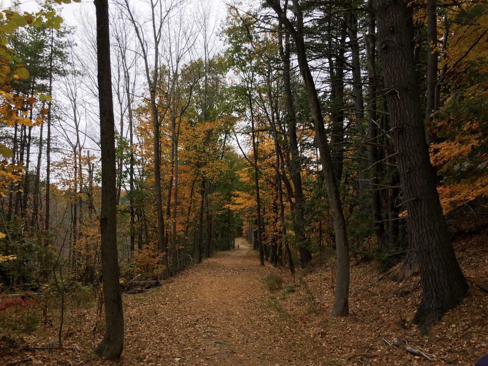
The trail is also labeled as the Trolley Line trail, or similar wordings. There were two different rail lines through this section, the uncompleted “Grand Trunk” line and a functional trolley line.
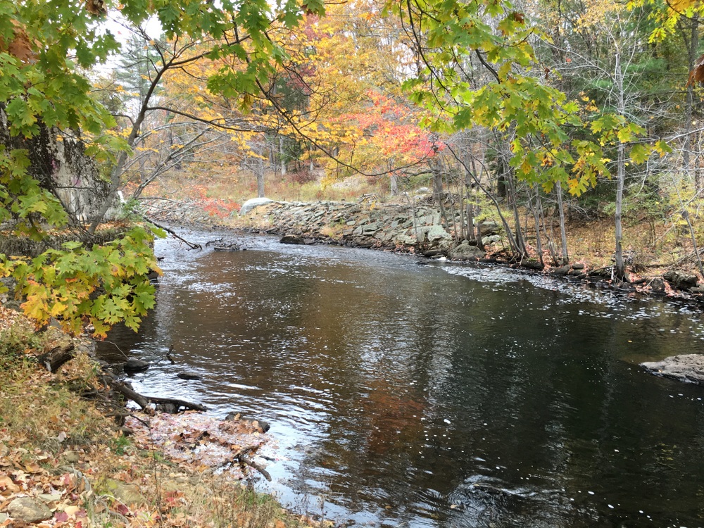
The trail goes along the river quite a bit and might provide a nice way down to do some fly fishing (in fact, we saw an angler with waders on close to the trailhead).
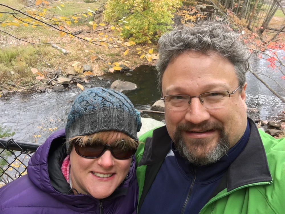
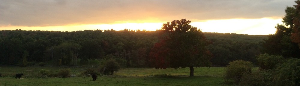
We paused at a lookout and posed for a snapshot (as we often do).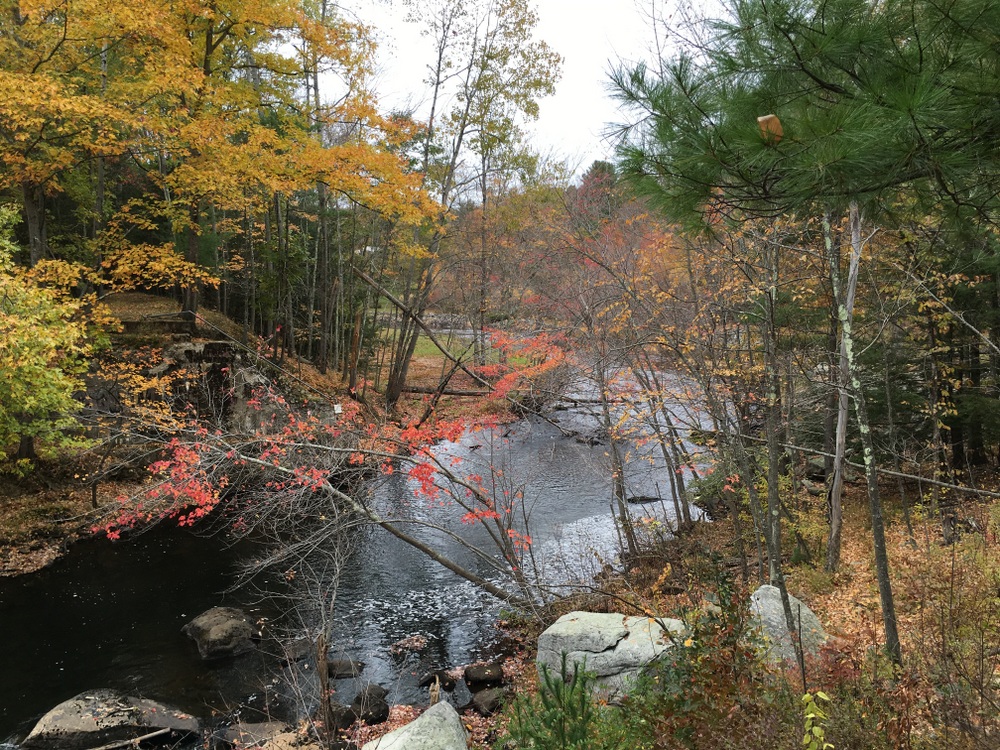
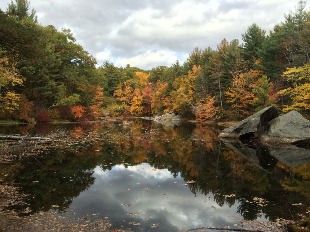
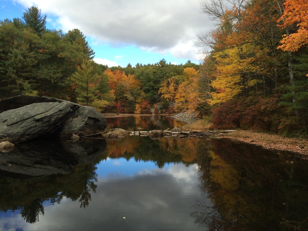
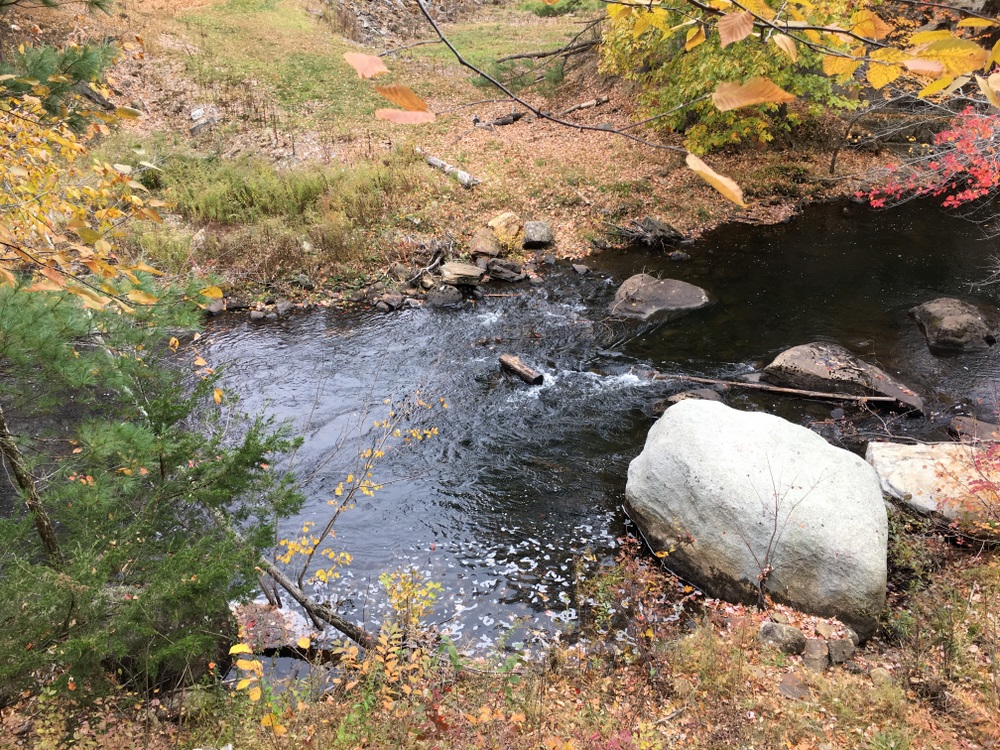
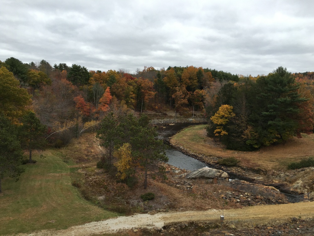
The trail continued along the river for a ways and eventually exited on the Army Corps of Engineers property for the East Brimfield Lake. We’ve explored this dam area many times, including a couple fishing trips, so it wasn’t overall new to us.
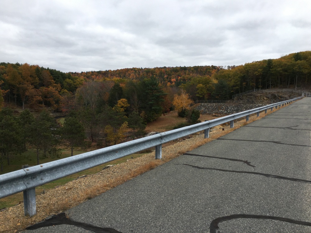
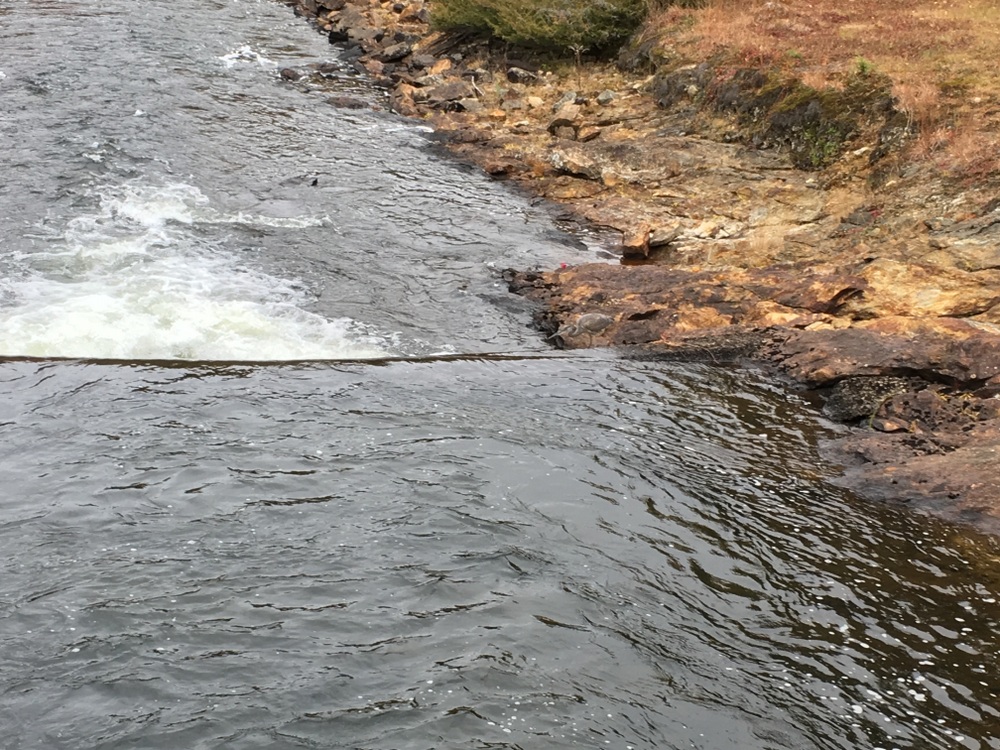
However, standing atop the dam, we saw a path down below which crossed the river and clearly explored a little bit of the property we hadn’t been to before.
We walked down this way and were rewarded by the sight of a blue heron perched at the water’s edge looking for a meal.
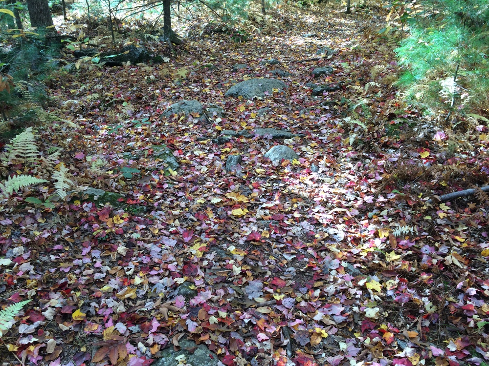
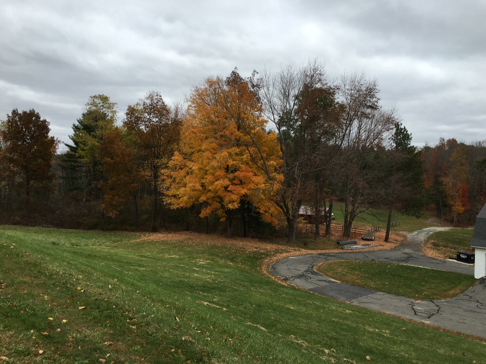
We walked a bit more along the water on this little path, and took in the fall landscape with the soothing sound of the water nearby.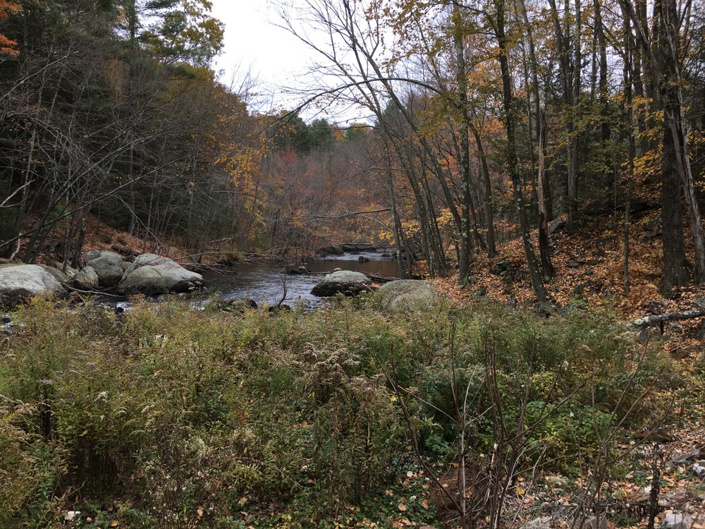
It was a shorter walk than we had planned, because the map showed trail portions that weren’t yet complete. Once the trail connects fully it’ll be a great showpiece for this section of the state. For now, we can explore it bit by bit.