Getting back into the swing of it

Over the summer, our hikes were tough to manage.  Without gymnastics blocking out the time, we either had to hike as a family, or hike when Evie was otherwise occupied, which wasn’t often.  Given the heat and the bugs, we didn’t get out nearly as often as we had hoped.

But Fall is here, and with it comes cooler temperatures, fewer bugs, and a renewed presence in gymnastics for our little bundle of energy.

So we’re getting back out there.  Over the last few weeks, when we’ve been able to, we’ve made it onto trails.  We visited Heins Farm again (just about a year after the last time) as well as the South Spencer Rail Trail (which I last visited in December).  We didn’t snap a lot of pictures, and I don’t really have much to describe in terms of a blow-by-blow, but it was good to get back on the trail.

015 021 034 035 917

Grand Trunk Trail – Brimfield

Last time we hiked in Brimfield, it was December and fresh snow was on the ground. Now, it’s April, and on a beautiful sunny day we wanted a hike without too much mud (it rained all week, and snow is still melting) and without too much strain on the legs.  Brimfield seemed to fit the bill again.

014

As you can see, it was a beautiful early Spring day. The sky was rich blue with a bright warm sun, and giant puffy clouds drifted overhead.

We parked at the Route 20 parking lot, and enjoyed a picnic lunch in the sun.  Temperatures were around 50 but the 20 mph winds made it feel a bit more brisk.  There were a handful of cars in the lot, and we passed several families walking with dogs and/or kids, as well as a couple sets of cyclists.  We weren’t the only ones thinking today was a good day for the Grand Trunk.

017

I set out trying to find signs of Spring, but didn’t come up with much.  Most of the snow was melted, save for a few shaded areas, but there was still lots of ice on the standing water.  We saw no rabbits, no snakes, no turtles, and no frogs — all animals we’d seen on our summer trips here.  Plenty of birds were singing, though, and that helped.

026

As you can see, the trail is broad and flat; it becomes a bit more winding later on but still remains a very bike- and horse-friendly trail.

029

On both sides of the trail were frequent small ponds, fed by the melt.  Most had some ice still in them.

032

For a good chunk of our walk, a plane flew overhead, perhaps some kind of training exercise.  It would do wide banking flyovers at fairly low altitude and then repeat.  I’ve encountered this sort of thing before in this area, at the nearby campground and the nearby reservoir. I didn’t get a shot of the plane at its lowest but I did snap one on a higher fly-by.033


We followed the trail for nearly two miles, crossed a dirt road, and almost made it to the other parking area where we’d parked for our December hike.  037

It was there that we saw the first real new growth of the year we’d encountered — bright green thorn bushes.  The first thing to grow is the nastiest?  We turned around and headed back at this point, rather than continuing on towards the other end of the trail.

039

Walking back out of the more wooded areas we entered the broad, flat section again, and were reminded of the total devastation caused by the 2011 tornado.  It’s likely that the damage to this landscape will outlast us.  We finished our walk quietly, thinking of what the years ahead will bring both to us, and to this scarred section of land.


(Solo) South Spencer Rail Trail – Spencer

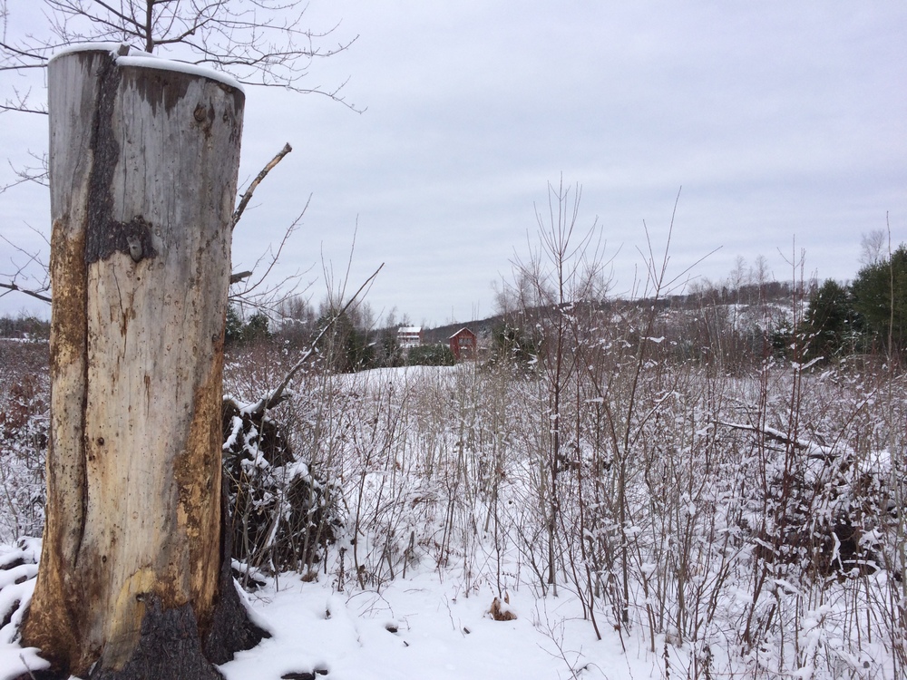
Two Saturdays in a row, holiday activities kept Jess and I from our now-weekly outdoor explorations.  When on the third Saturday, the last before Christmas, she departed for a family shopping excursion, I decided to get out into the woods, even if only for an hour or so.

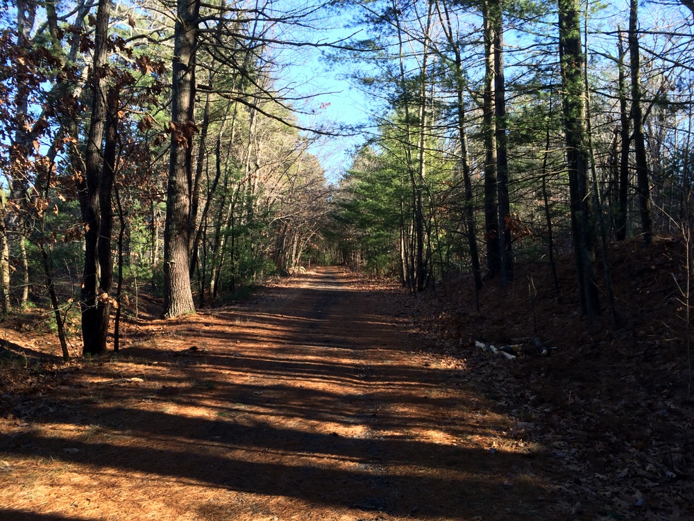
Trying to stay close to home and not lose the whole day, I picked the South Spencer Rail Trail (read about it briefly at the Spencer Parks and Recreation web page), also called the Depot Trail.  It is a two-mile, mostly-flat trail connecting South Spencer Rd. and Chestnut St. in the center of Spencer, built along the abandoned South Spencer Railway (built in 1878 to connect two rail stations in Spencer).  We’d been here once before as a family to explore some geocaches, though we only covered half the trail that day.

Part of my goal with picking a rail trail was auditioning it for winter hiking, snowshoeing, or cross-country skiing.  The only reason I think it might not pass muster is its use as a snowmobile trail as well.

026

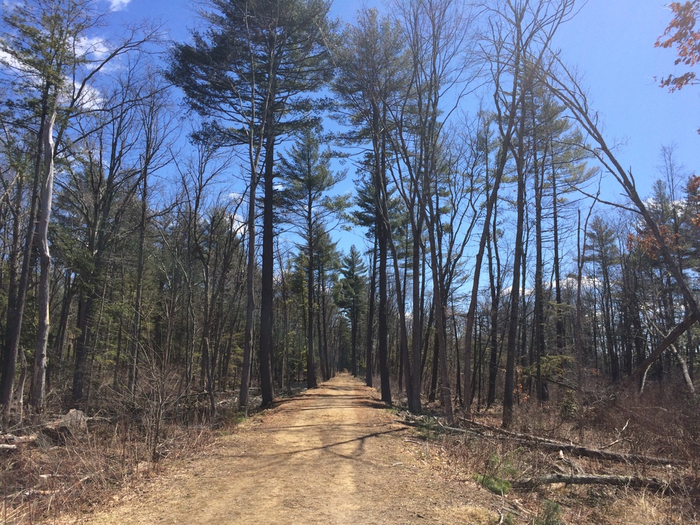
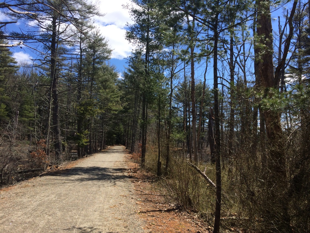
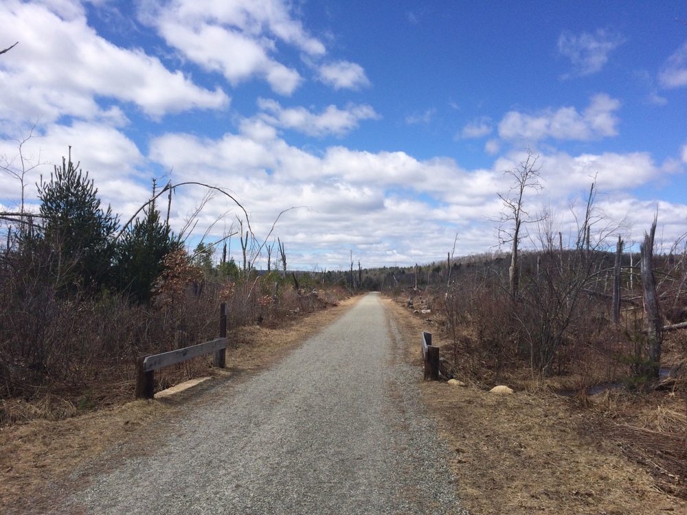
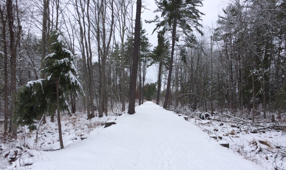
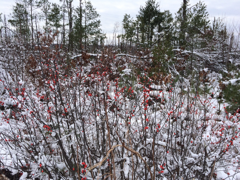
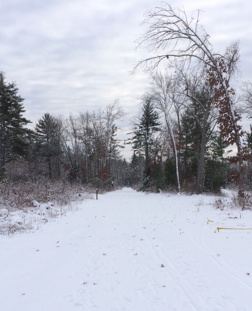
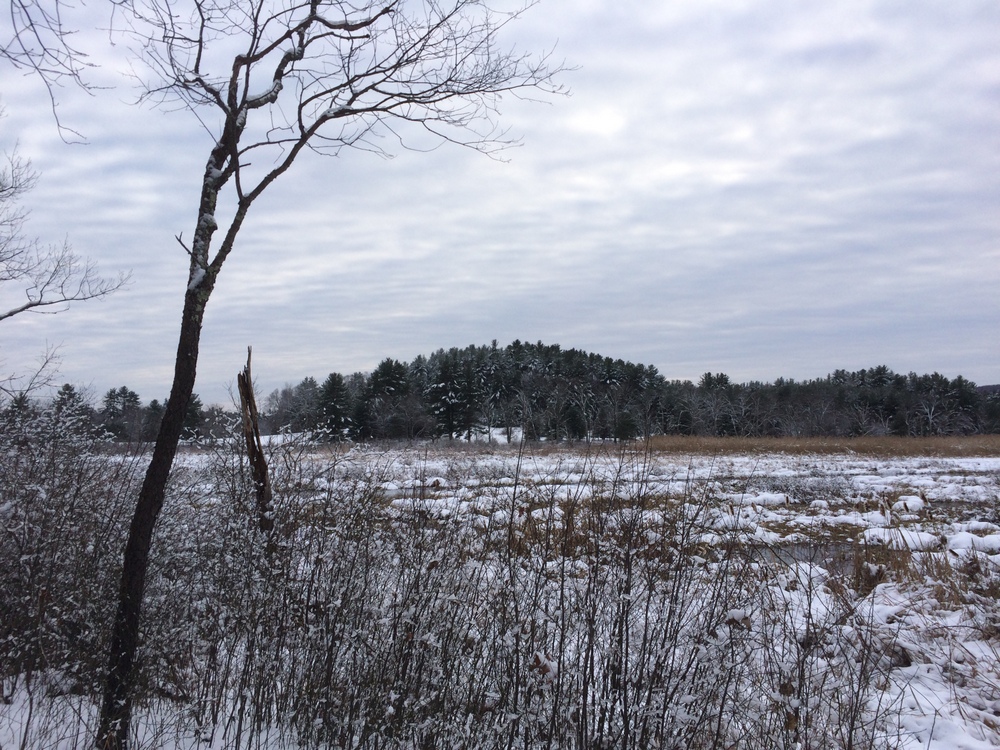
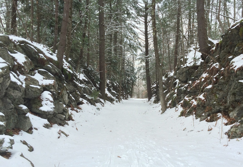
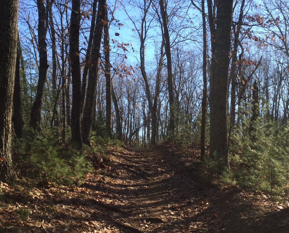
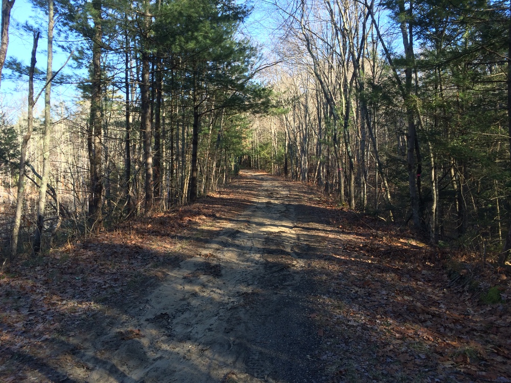
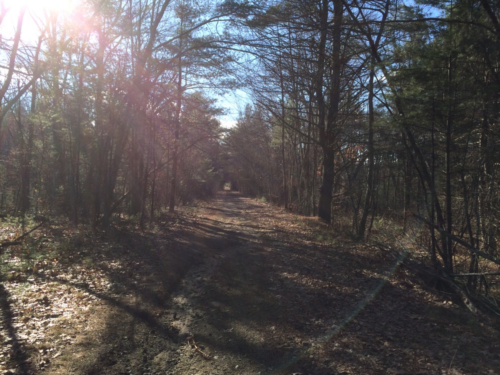
The trail looks like the below picture for much of its length; a wide, fairly flat trail, partially graveled but rutted and uneven.  Over the course of the two miles, I encountered wooded areas (including a section of Spencer State Forest), ball parks, and residential areas to each side of the trail.

030

This unmarked side trail headed into Spencer State Forest.  Given it was unmarked and we’re technically still in deer season, I decided to pass.  Looking at another map now, though, I see it’s technically part of the rail trail and I probably could have explored it.  Next time, I guess….

036

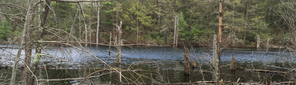
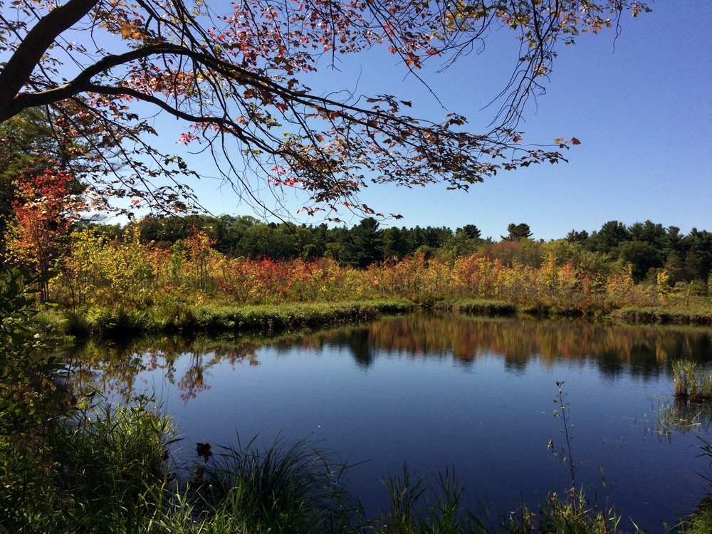
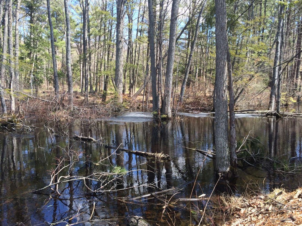
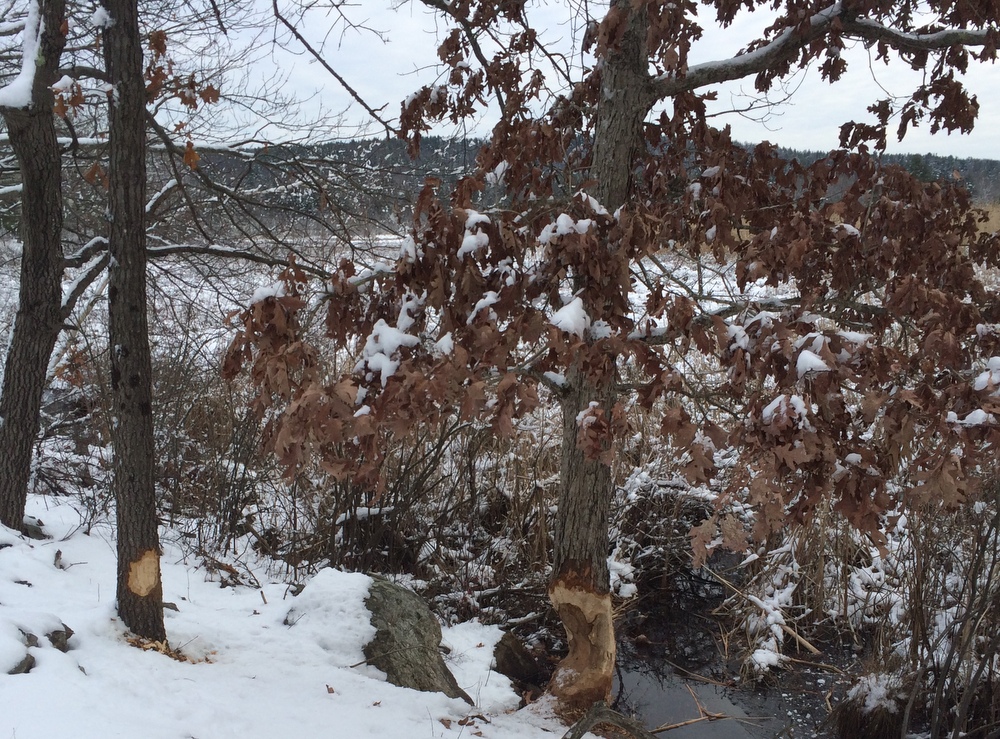
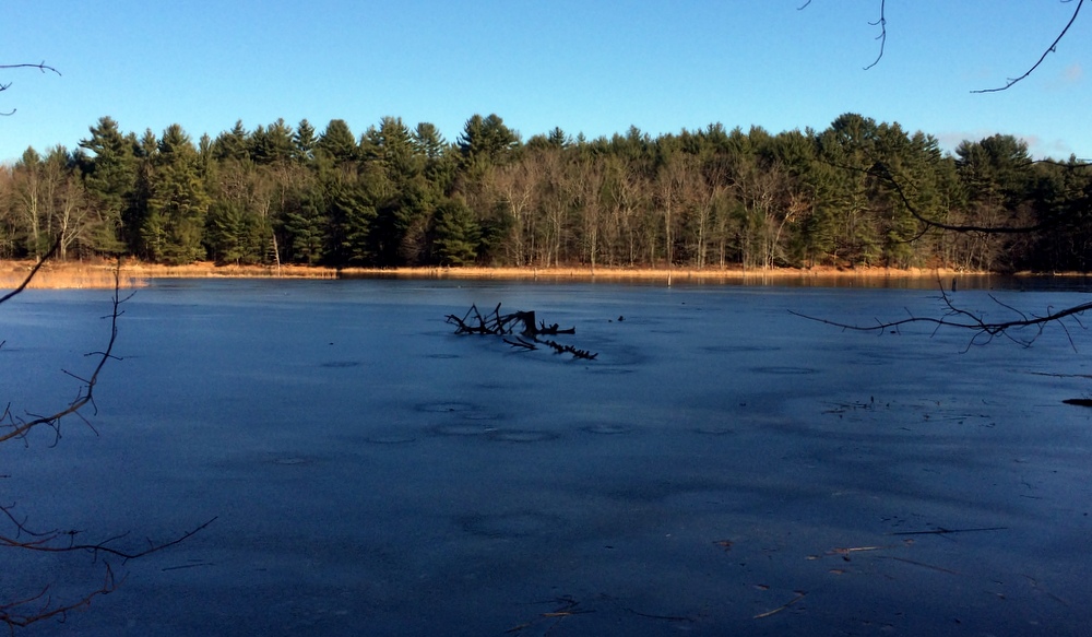
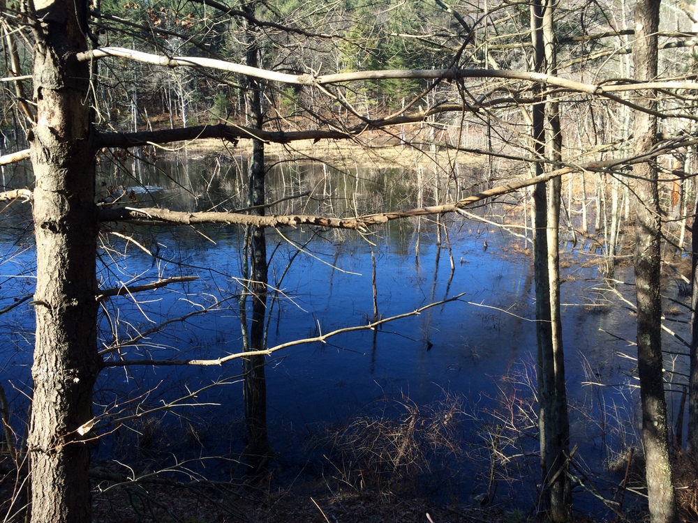
Shortly after that side trail is a pond which was half-frozen.

039

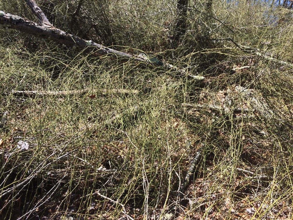
On the opposite side of the pond, another side trail, this one even less inviting (and not on state property).

046

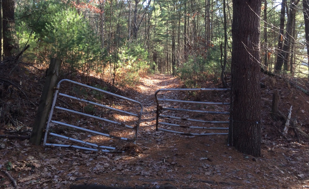
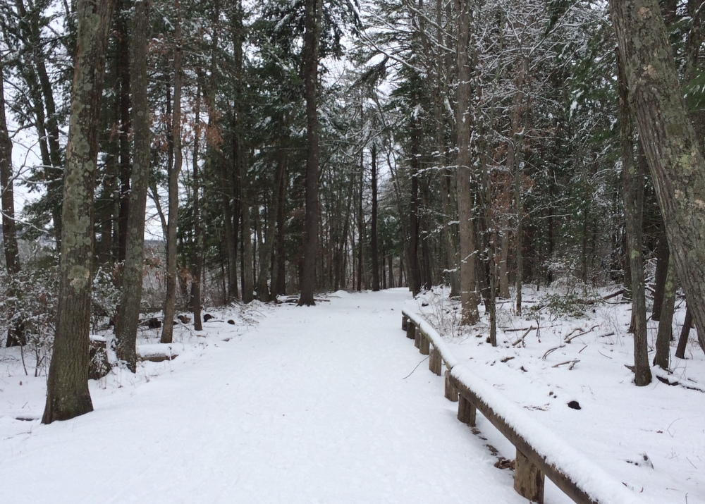
All along the trail, there are spots like the below where the trail meets up with unmarked side trails.  I suspect these may be dirt bike trails or snowmobile trails; Spencer is littered with snowmobile trails for some reason (I’m sure they’re great, I’m just always surprised to see them!).

047

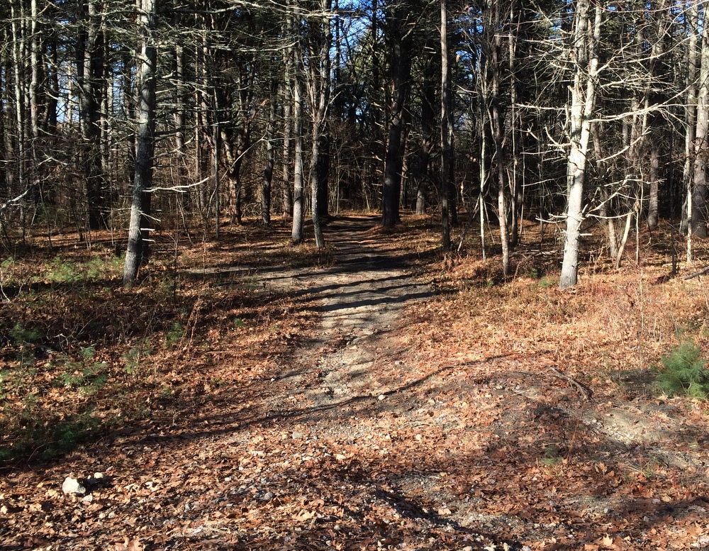
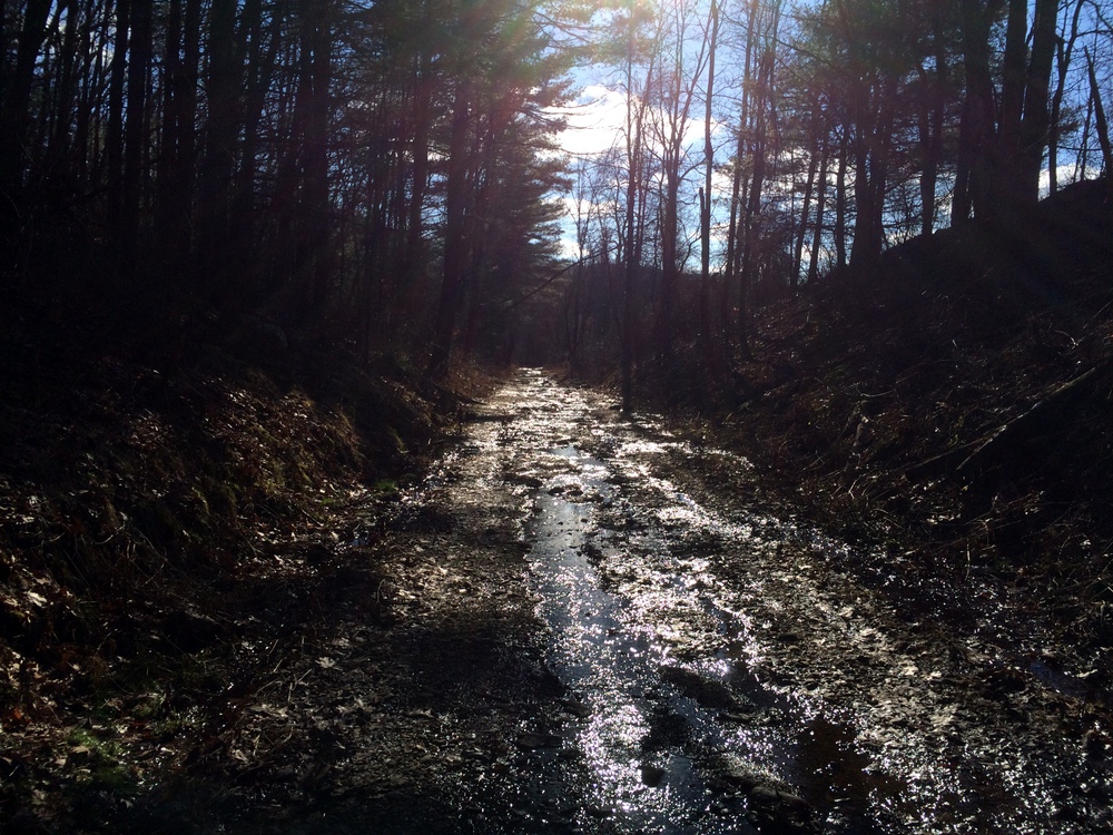
As the trail continued, it got a little less well-maintained.  Here you can see that the drainage isn’t as good and the trail serves as a runoff for groundwater.

050

Still, lots of pretty little ponds and such along the side.

054

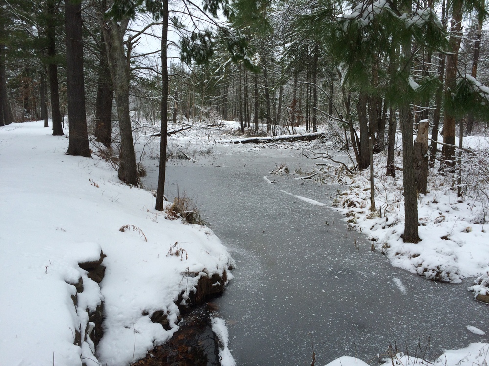
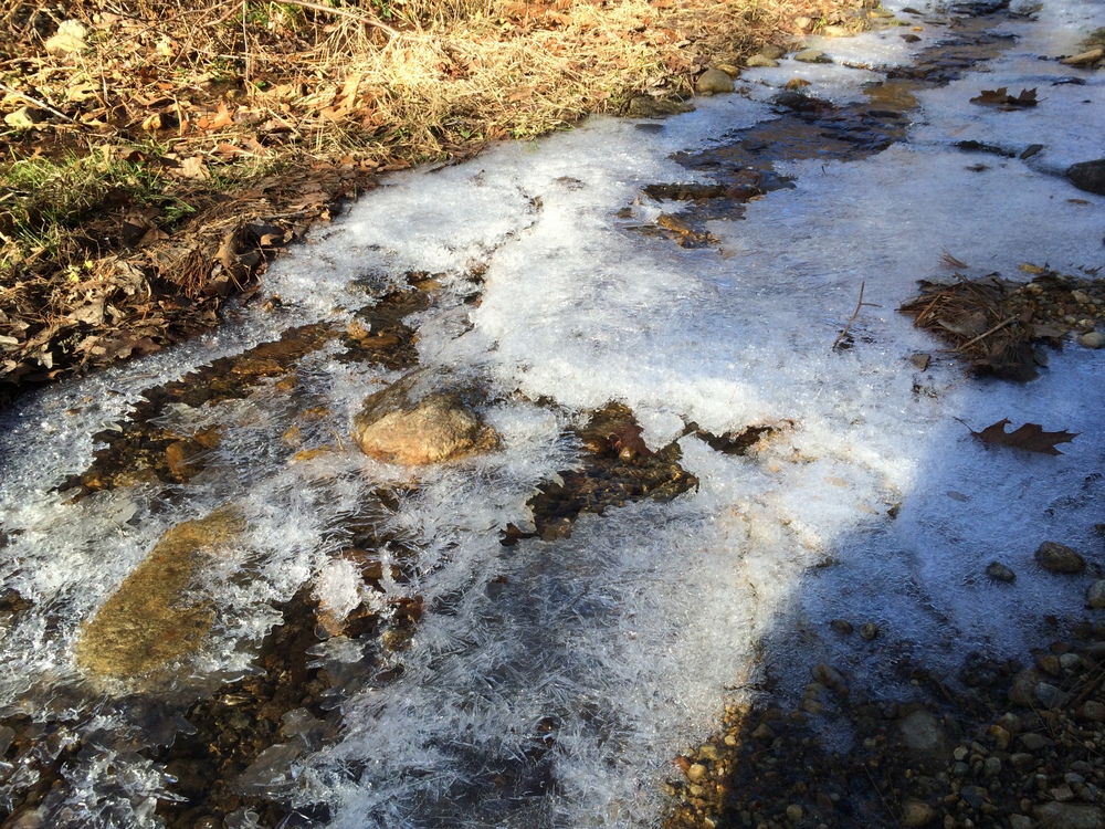
Here, some of the water runoff was still active, flowing rapidly under a icy surface.

058

I found two of these markers along the trail; I’m not sure that they were intended for.  They were marked with “W”s.  The trail was heading northeast at this point, for what it’s worth.064

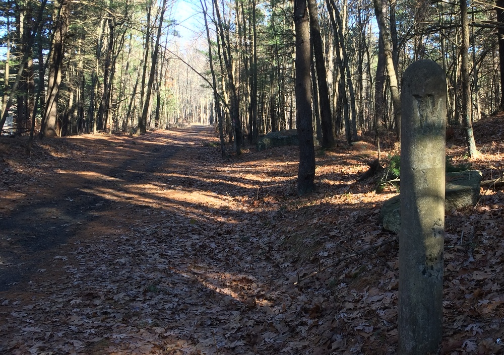
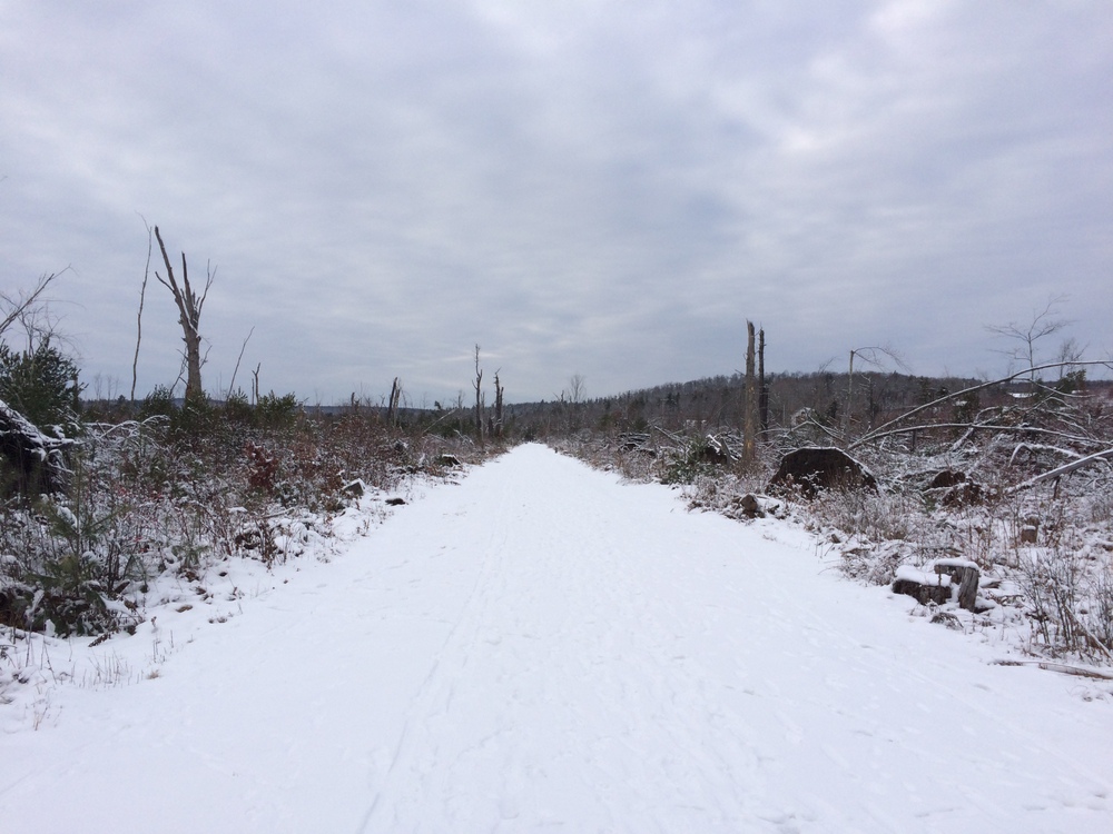
After two miles, the trail unceremoniously ends at a residential street.  There is no sign, just some concrete pylons marking the end of the trail.  I turned around and walked back, this time heading southwest and into the sun.

079 083

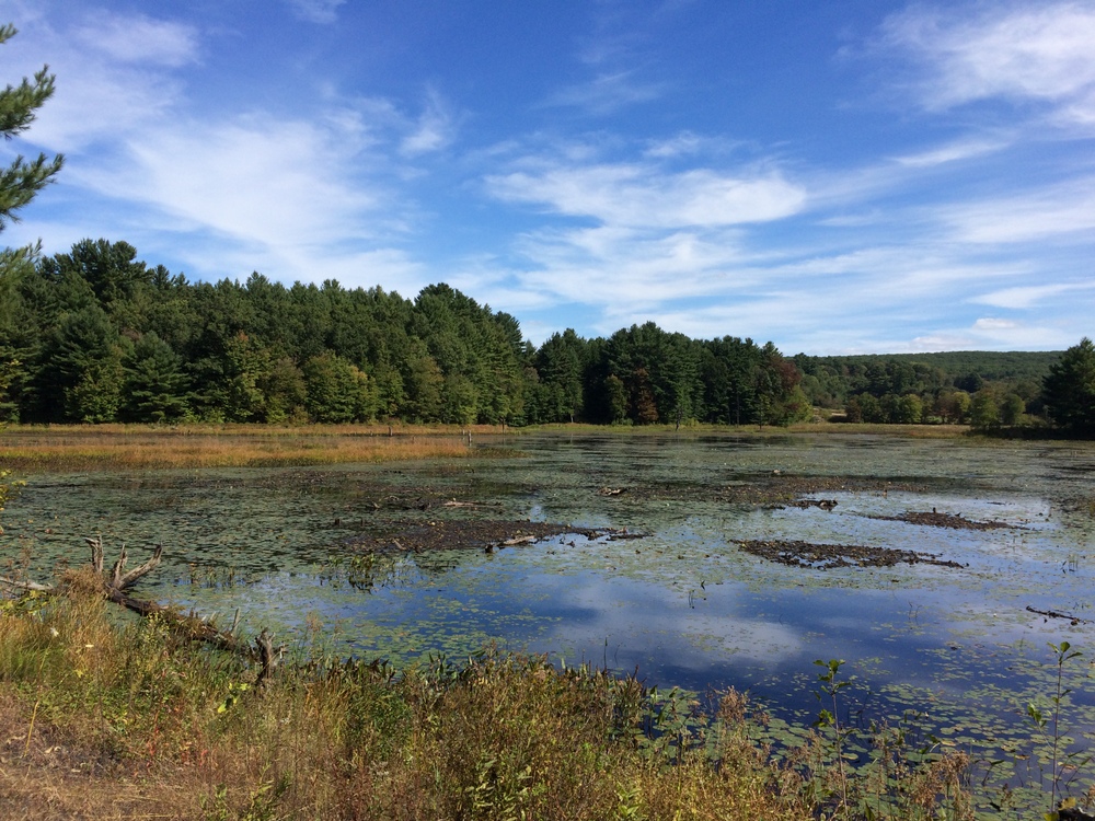
One more picture at the pond, and then back home, to do some housecleaning and gift wrapping….

090


Grand Trunk Trail – Brimfield

With several inches of Wednesday’s snow still on the ground and no snow-specific gear, we targeted a nice flat well-traveled trail for our post-Thanksgiving Saturday hike.  We chose the Grand Trunk Trail in Brimfield (also known as the Brimfield Trail and the Titanic Rail Trail).  We’d done this trail over the summer with our daughter on a day of exploration and geocaching, and knew it would be passable in boots without too much trouble. In the summer we saw tadpoles, rabbits, and snakes — this time, not so much.

The history of this trail is interesting; the Grand Trunk Railway wanted to create an extension from Montreal down to Palmer MA, and then over to Providence RI.  When the railway head died on the Titanic, expansion plans died with him, leaving significant chunks of land set aside for the railway undeveloped (or used for trolley lines).  Years later, this land would be turned into a rail trail, with the eventual goal of connecting Franklin MA and Palmer MA.  For now, trails in Brimfield, Sturbridge, and Southbridge exist, and need to eventually be connected and extended.

We started our hike at the parking area near Five Bridges Road, a rural dirt road in Brimfield.  As has become our habit, we took Jess’s 4WD SUV and were glad of it when it was time to park in the snowfilled parking area.  We started heading west towards the trail’s current end point at Route 20 in Brimfield.  The trail is broad and flat, and walks through beautiful forested wetlands.

003

The trail had been heavily traveled since the snow, with abundant boot tracks, dog tracks, and cross-country ski tracks.  We were able to handle it in our boots just fine.

004

006

We continued west along the trail, with the intention of forking south to check out the Siog Lake Bypass (into Holland), but we misread the map and ended up taking some minor side trails instead while continuing towards Route 20 in Brimfield.

We snapped plenty of photos of the wooded section of the trail, but there’s not much to say about it; it’s a beautiful area, flat, and easy to traverse.

008

014

015

After a while, though, the trail enters the section of Brimfield which was devastated by the 2011 tornado.  In this area the trees are all down, and the view is stark.  It’s an impressive and sad contrast.

022

On the other hand, the wide-open area is beginning to fill back in with the kind of growth that isn’t seen in the more forested area, and some of the opened-up views can be beautiful.

016

019

After about a mile and a half, we turned around.  We were on a bit of a schedule and wanted to get home in time to do some holiday errands.  We were happy to leave the flattened area and enter back into the wooded paths.

024

We made good time getting back to the car and continued a bit east past the parking area.  Here the trail leads into a marsh area where the Quinebaug River winds through.  The views here were completely different, including some recent beaver damage.

026

031

It was here that we had a somber moment of reflection; in a beautiful spot within sight of the river a lone pink cross stands in the ground.  There, in October 1993, the remains of 10-year old murder victim Holly Piirainen were found. Her murder remains unsolved, and just as with Molly Bish there are frequent reminders of the unsolved crime seen around the area.  Especially so close to Thanksgiving, it was a sobering reminder of how thankful we are for our family, and how many are not as fortunate.

It was with this in mind that we took the short walk back to our car, returning to the wooded section of the trail and wrapping up a 3.5 mile excursion in the first real snow of the year.

037