Midstate Trail – Spencer (Solo)

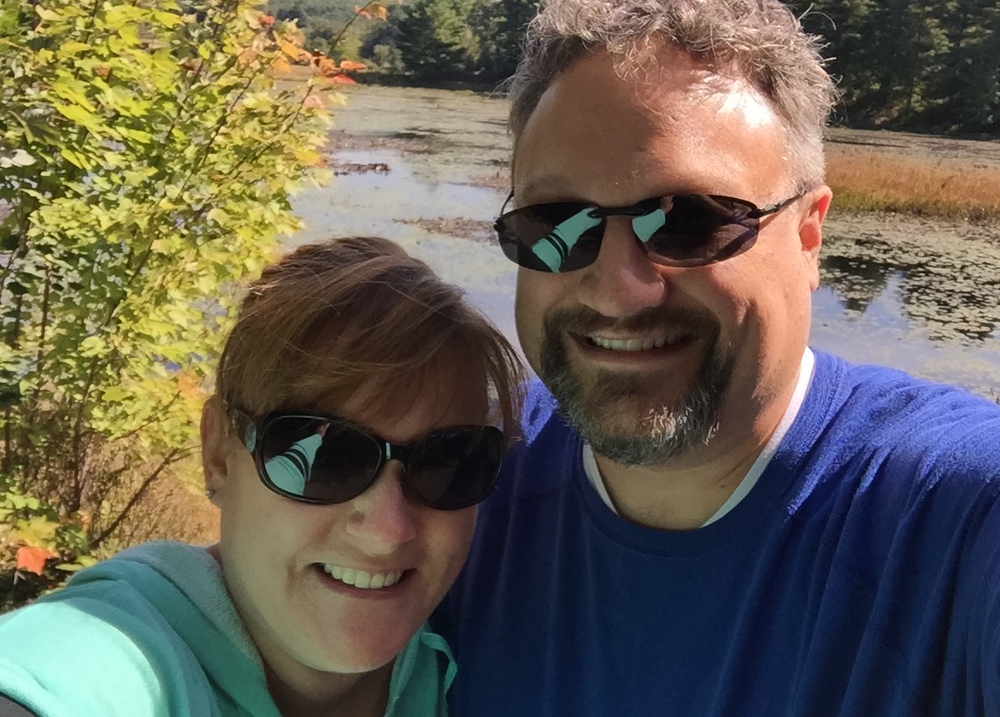
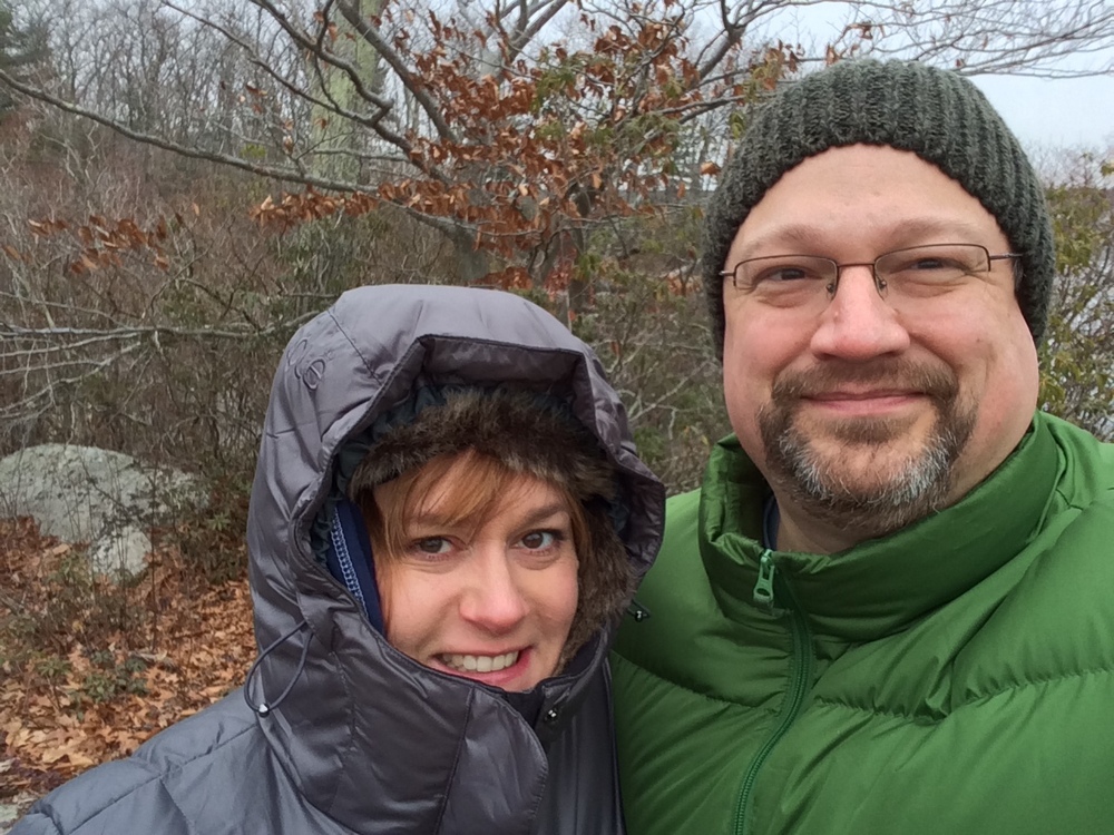
On the first Sunday of the New Year, Evie and Jess made a last-minute decision to cheer on a friend at a gymnastics event in Western MA, and I made a last-minute decision to revisit the Sibley Farm / Burncoat Pond property with the intent of walking a portion of the Midstate Trail.  I’d hiked here with Jess twice before (1, 2) and both times we had mostly ignored the Midstate Trail.  Looking at the map, I realized I probably had enough time to hike the trail from the parking area up to Route 9 and back.

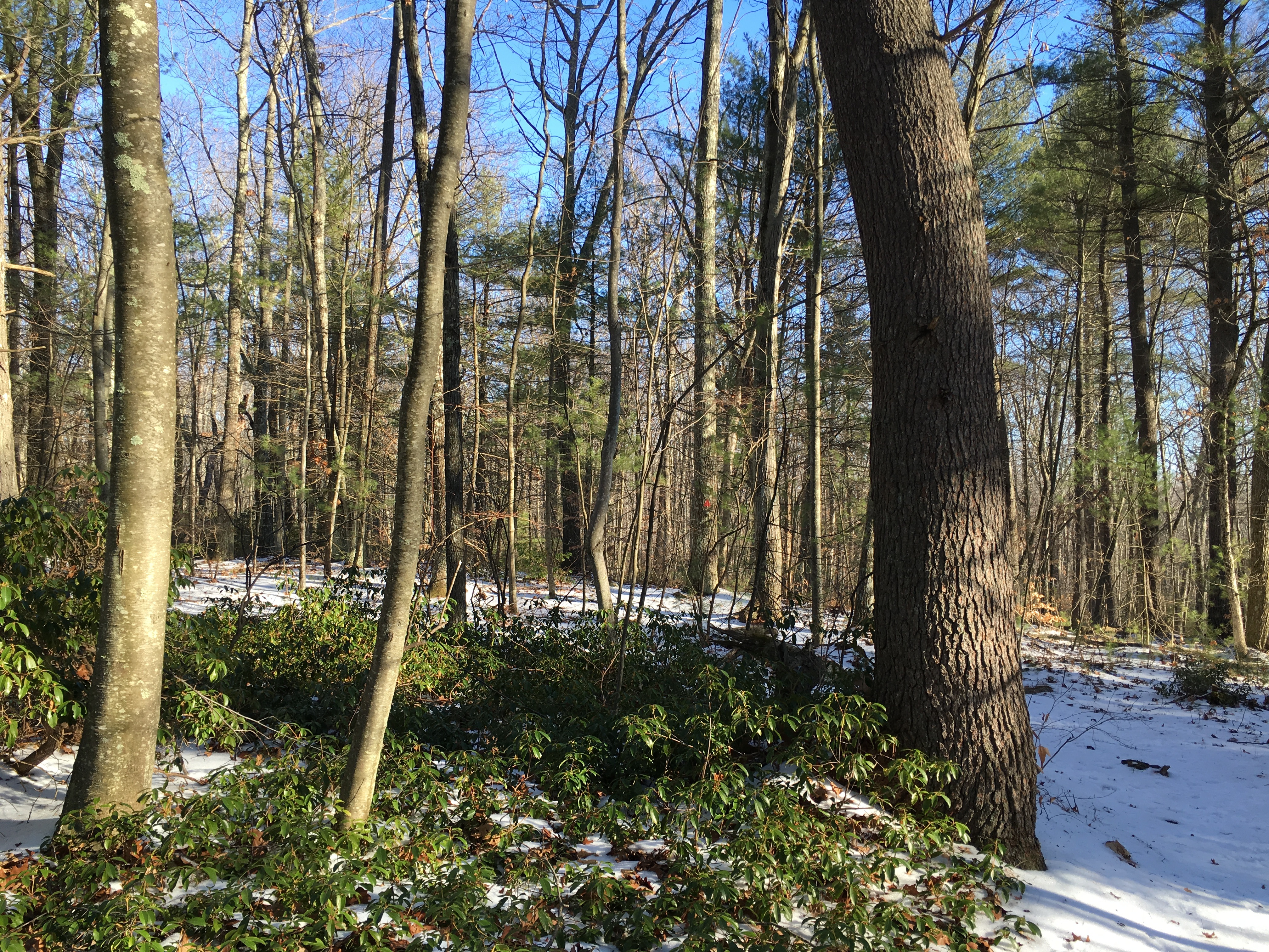
First off, let me again say how much I love this property.  Miles of trails on different terrain, fairly close to home and major roads, yet quiet once you’re out there, with wildlife and ponds to admire.  Take a look at the awesome map they have at the trailhead.

008

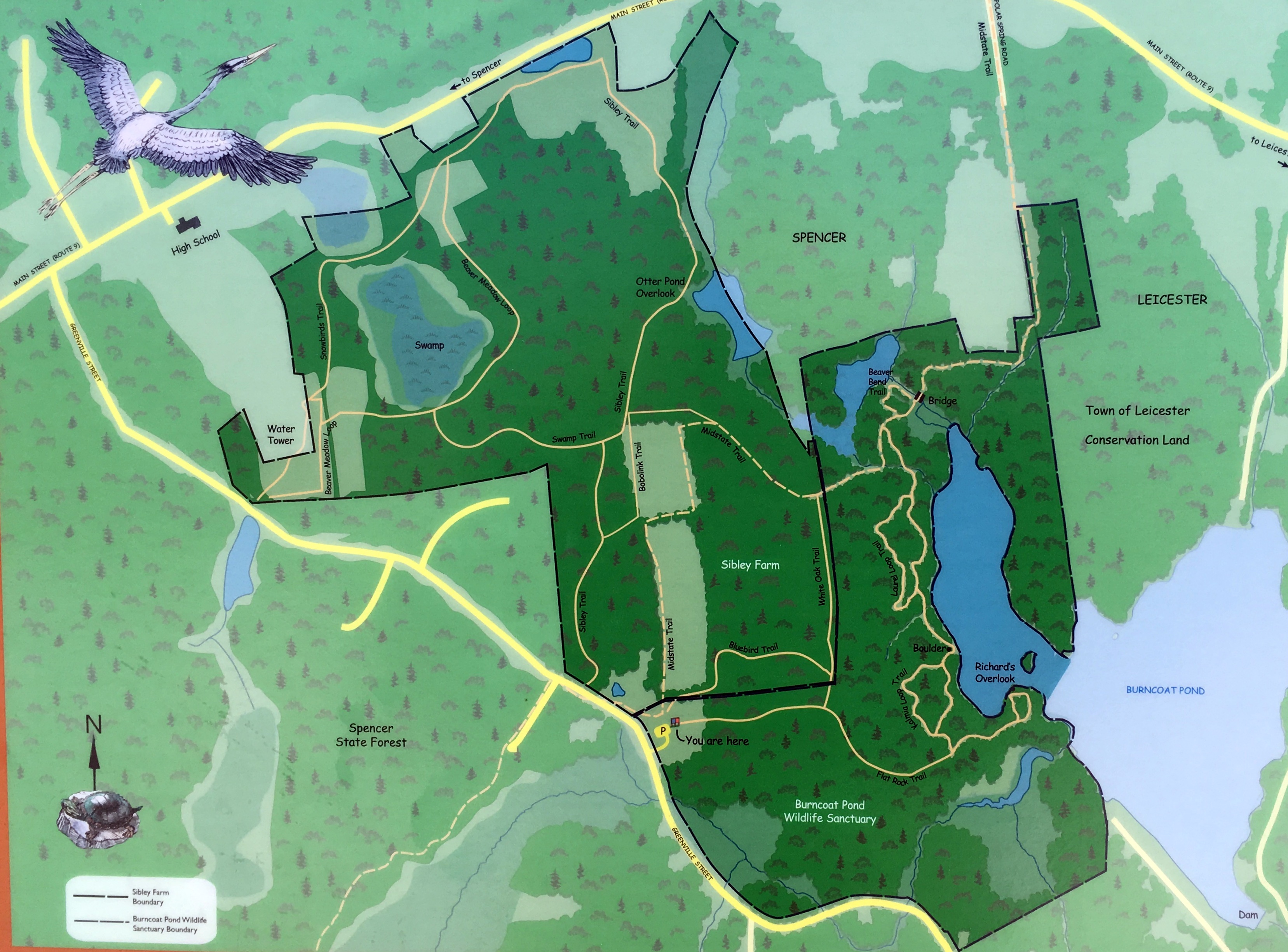
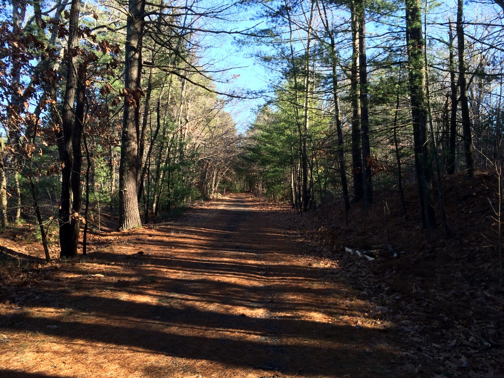
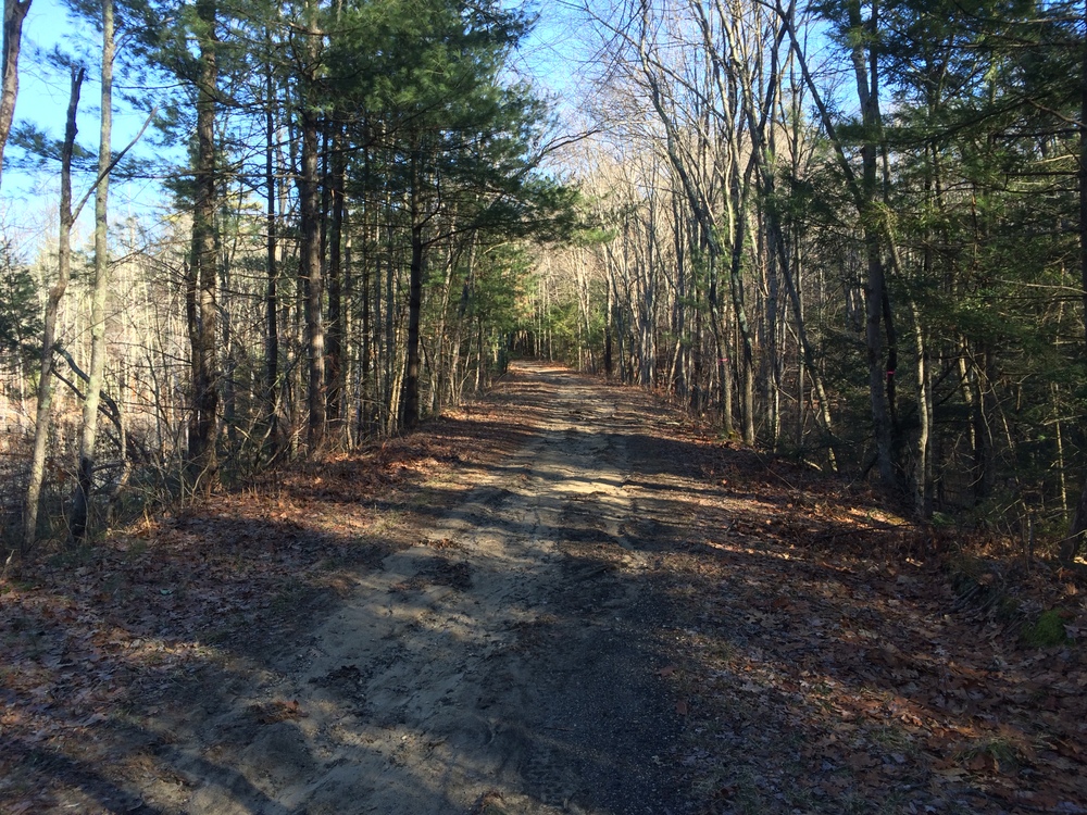
My route this day would follow the bottom trail until it reached the White Oak Trail, which I would take up to the Midstate, which I would follow up to Route 9.  On my trip back, I would stay on the Midstate back to the parking area.

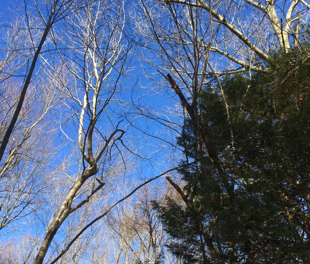
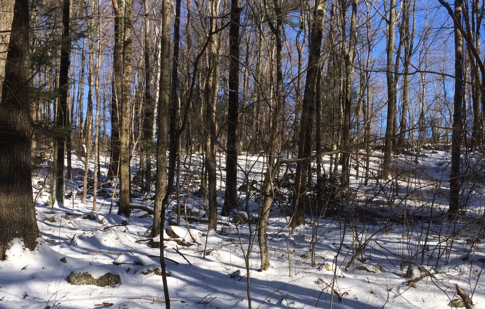
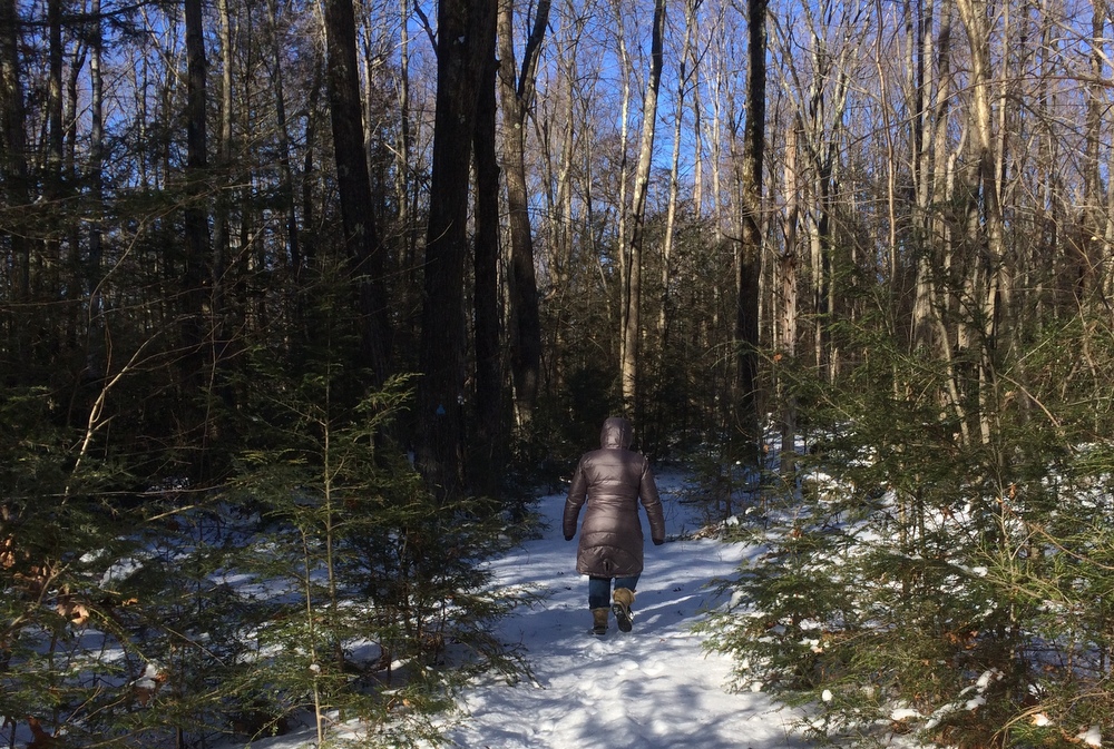
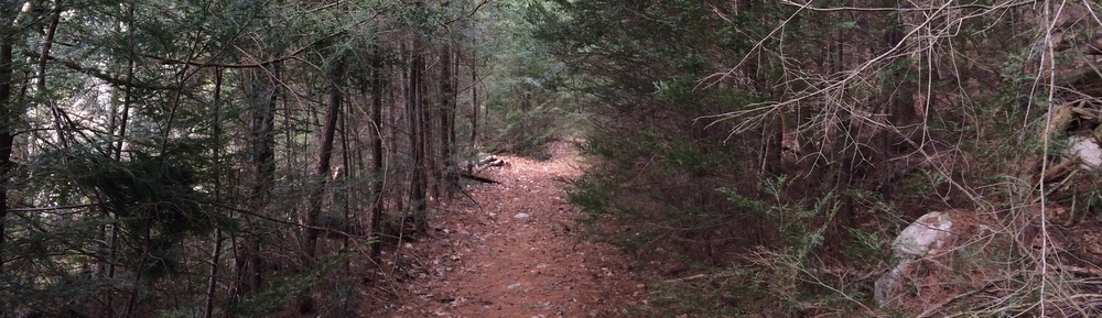
Our first real snow of the season was still fresh on the ground, and was coated in a bit of ice.  I was glad for my walking stick (and in fact wished I had two at times), and I often had to tread carefully to avoid falling.

010

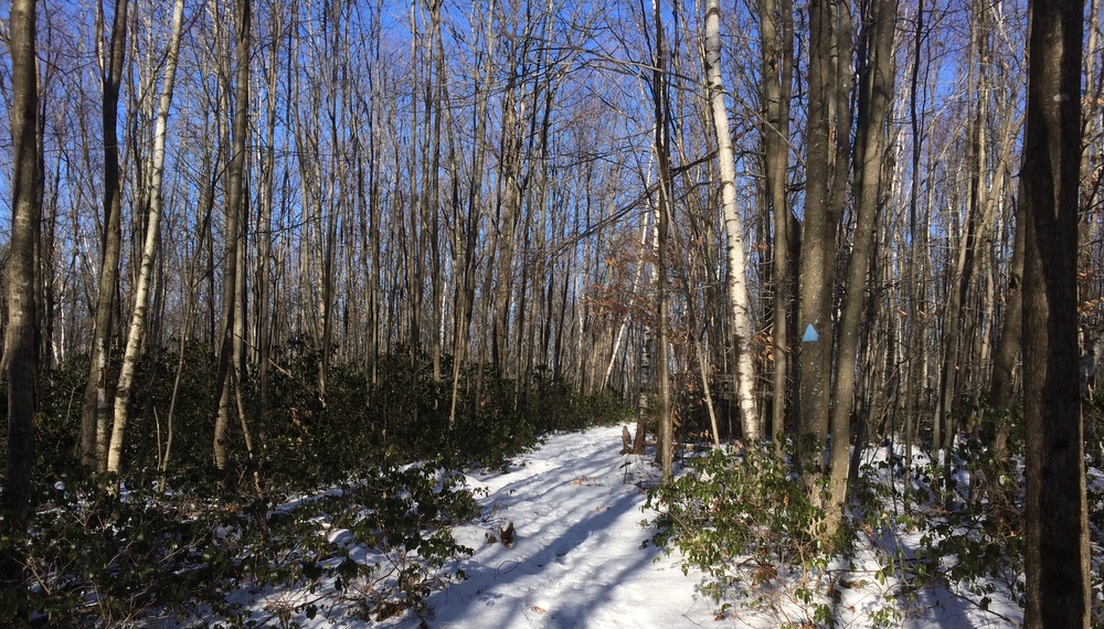
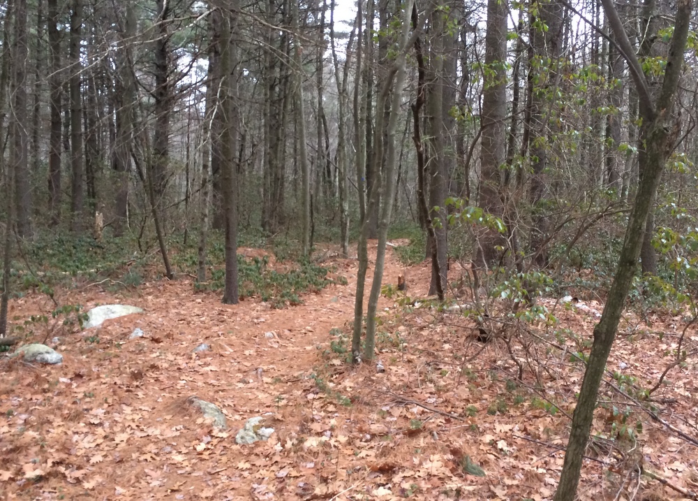
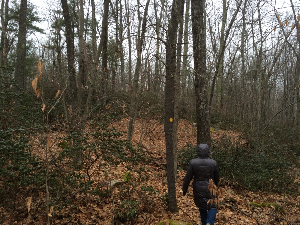
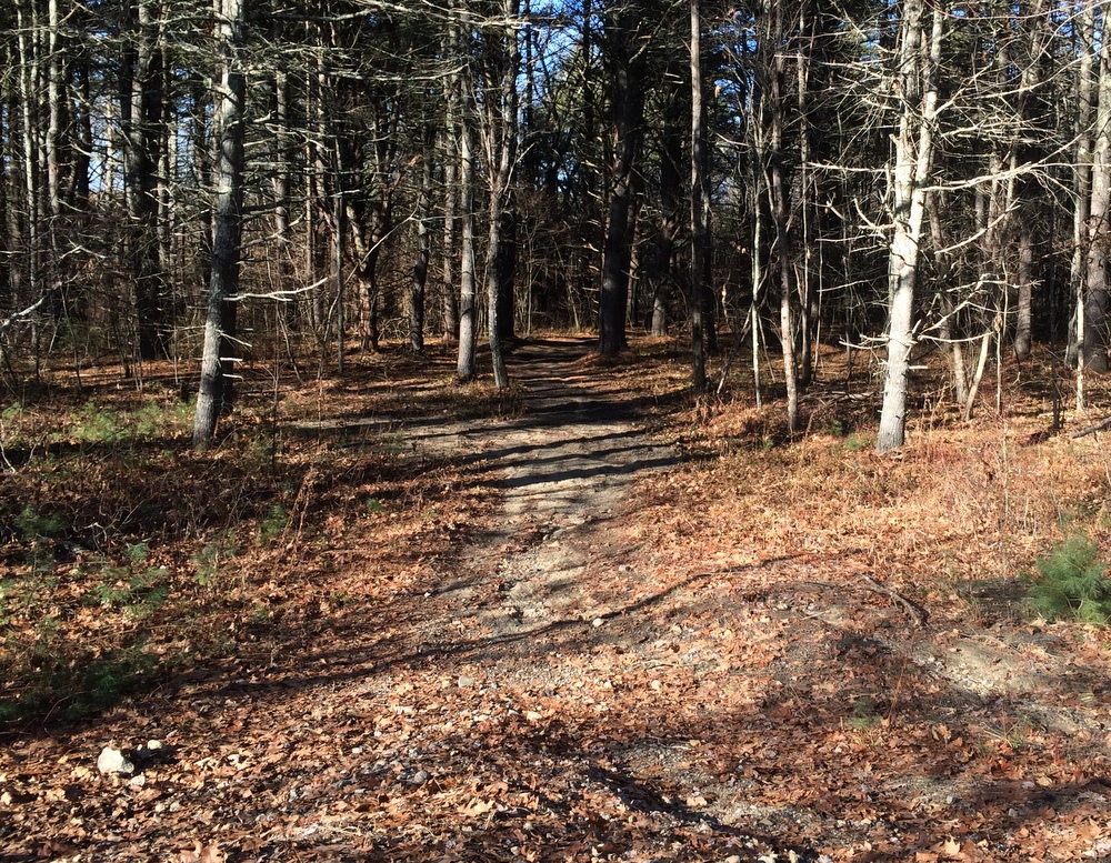
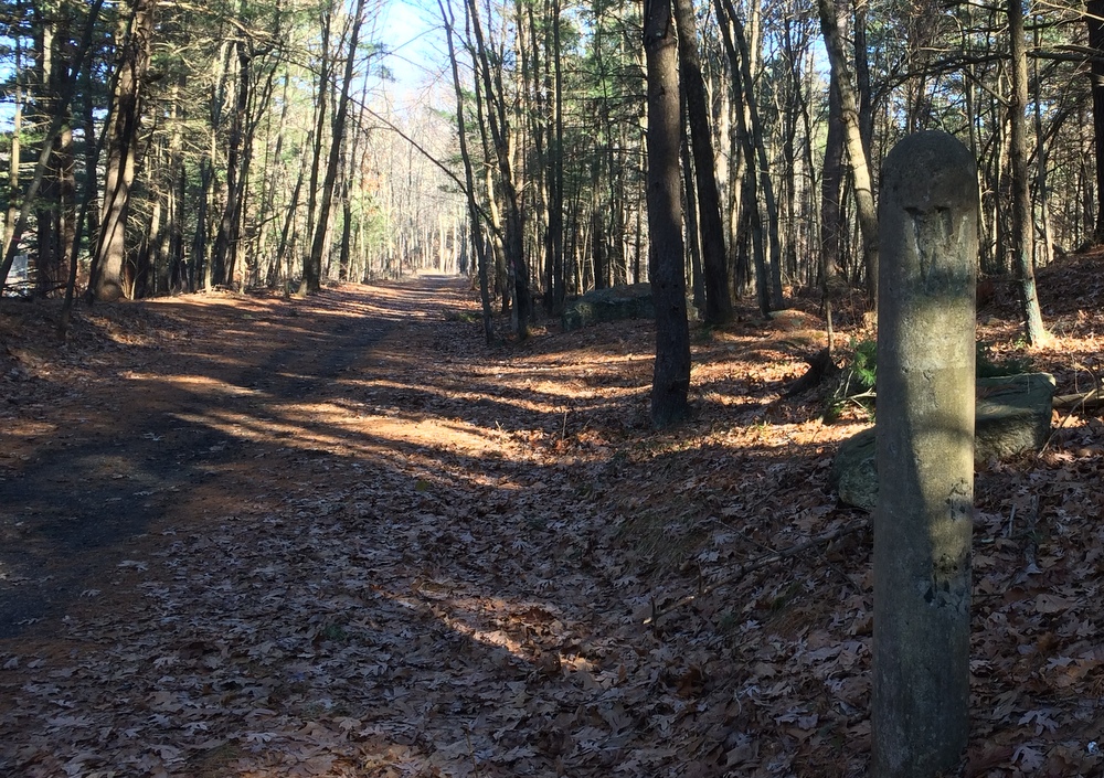
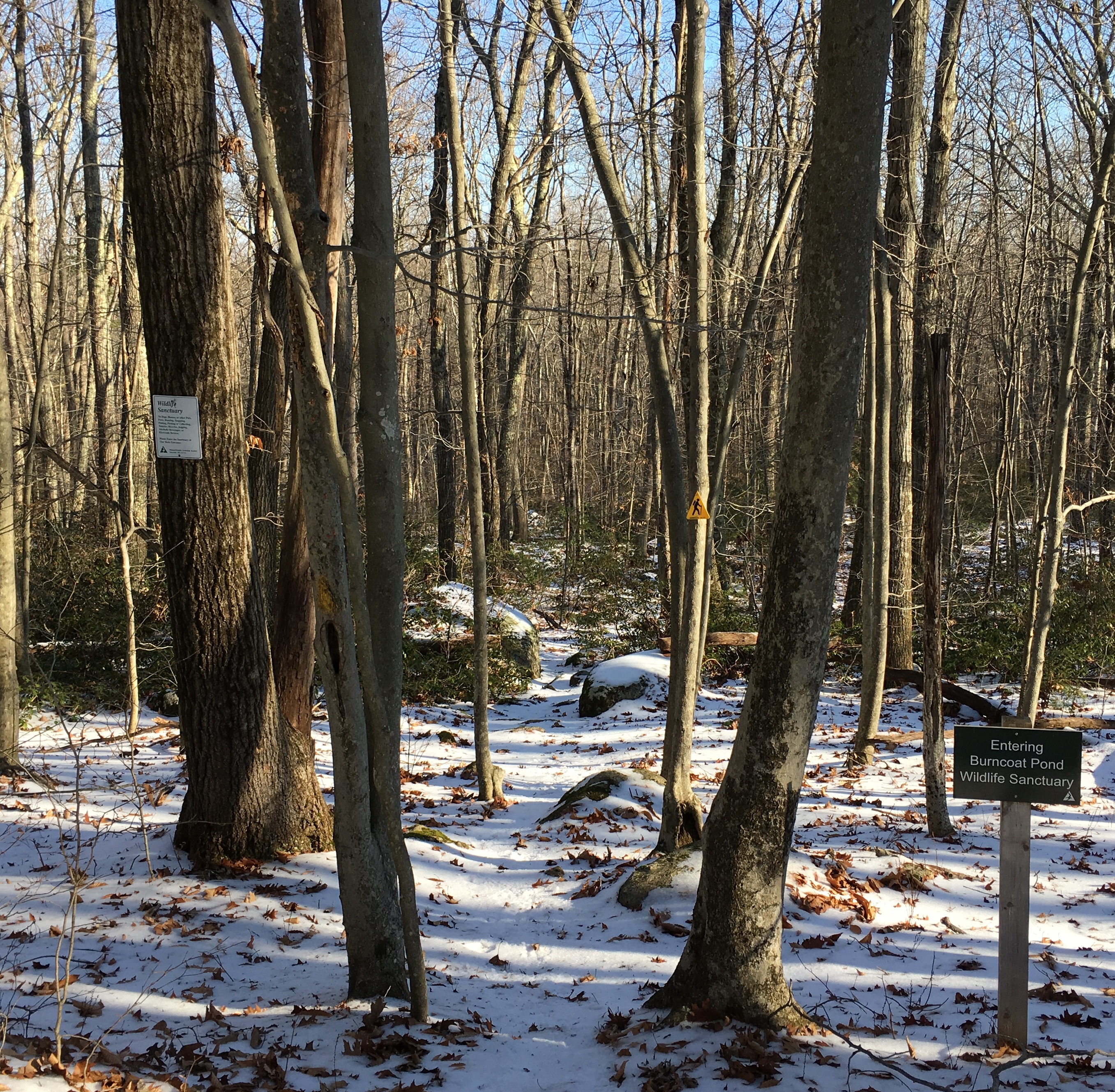
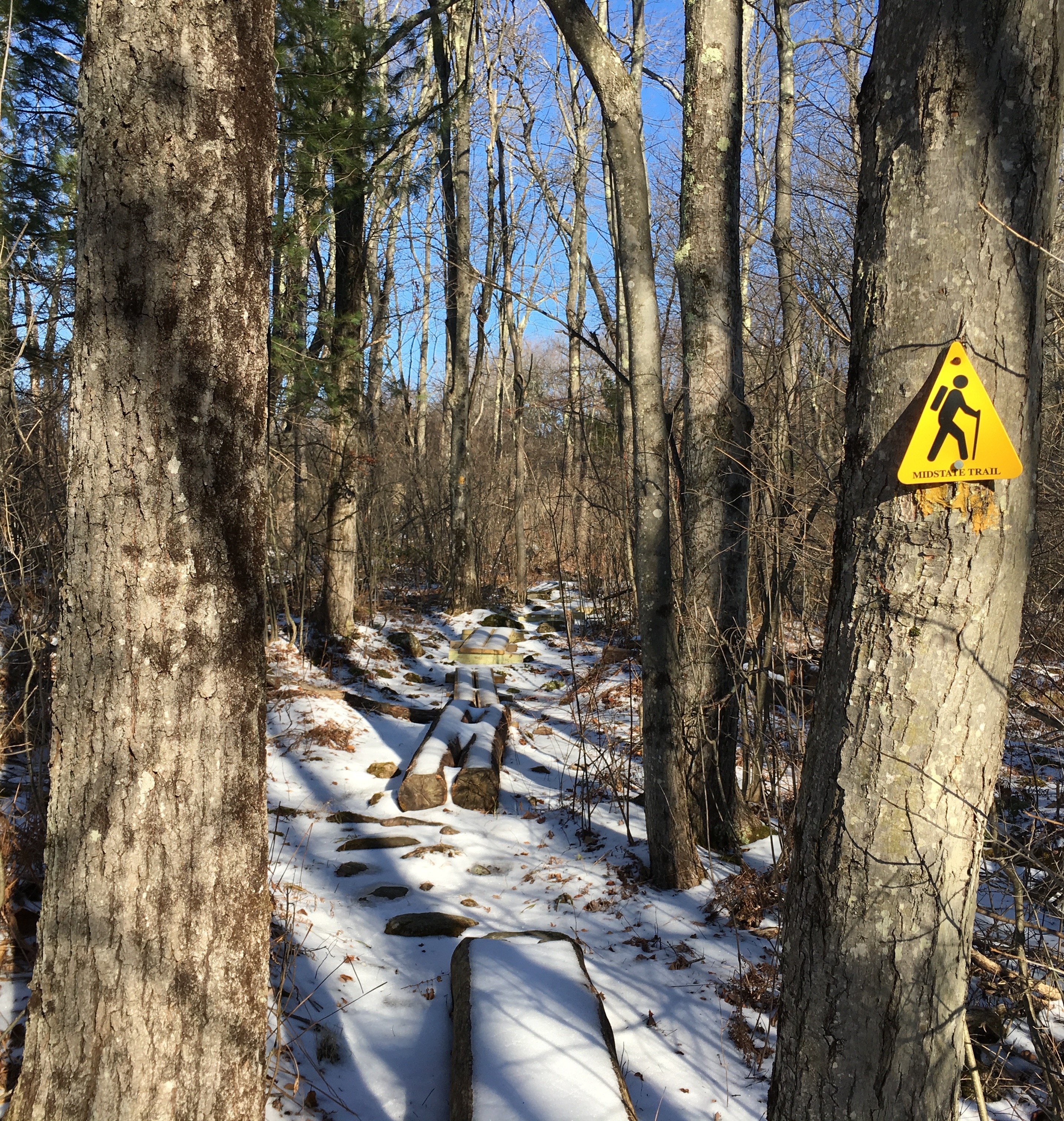
At first, the trails showed recent activity; boot treads and dog footprints mostly.  But the woods were quiet; I only met a couple other people despite a parking lot full of cars (again, the benefit of a large property with many trails).  In the pictures below you can see the “tags” they use for trail markers on this property, which nicely stand out in ways painted blazes sometimes don’t.

013

017

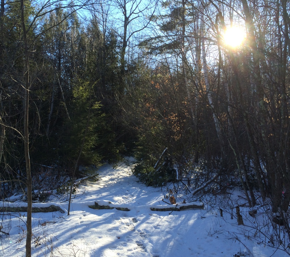
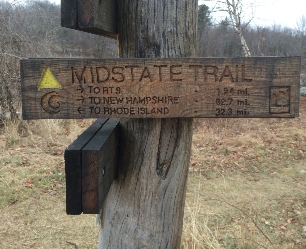
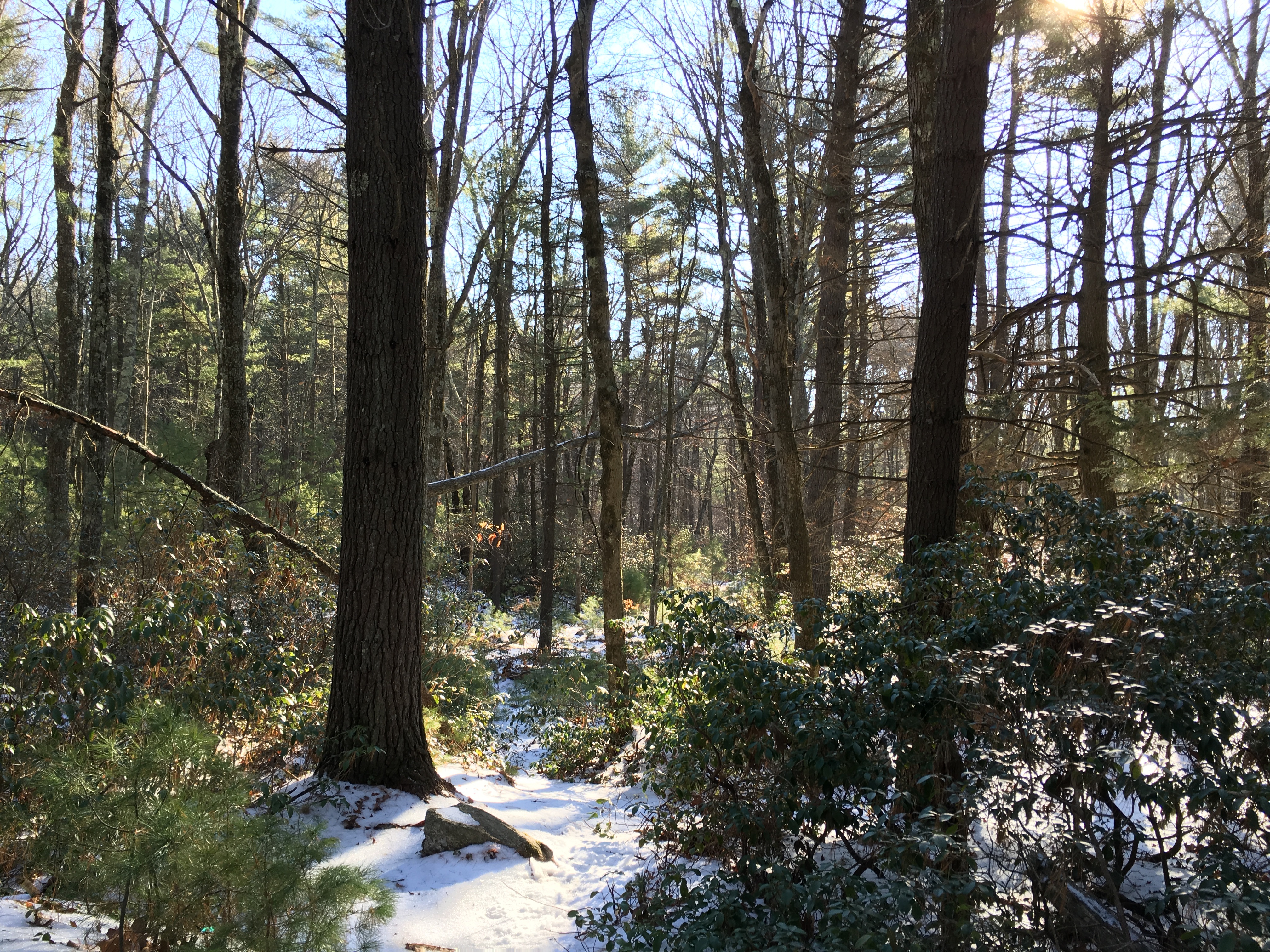
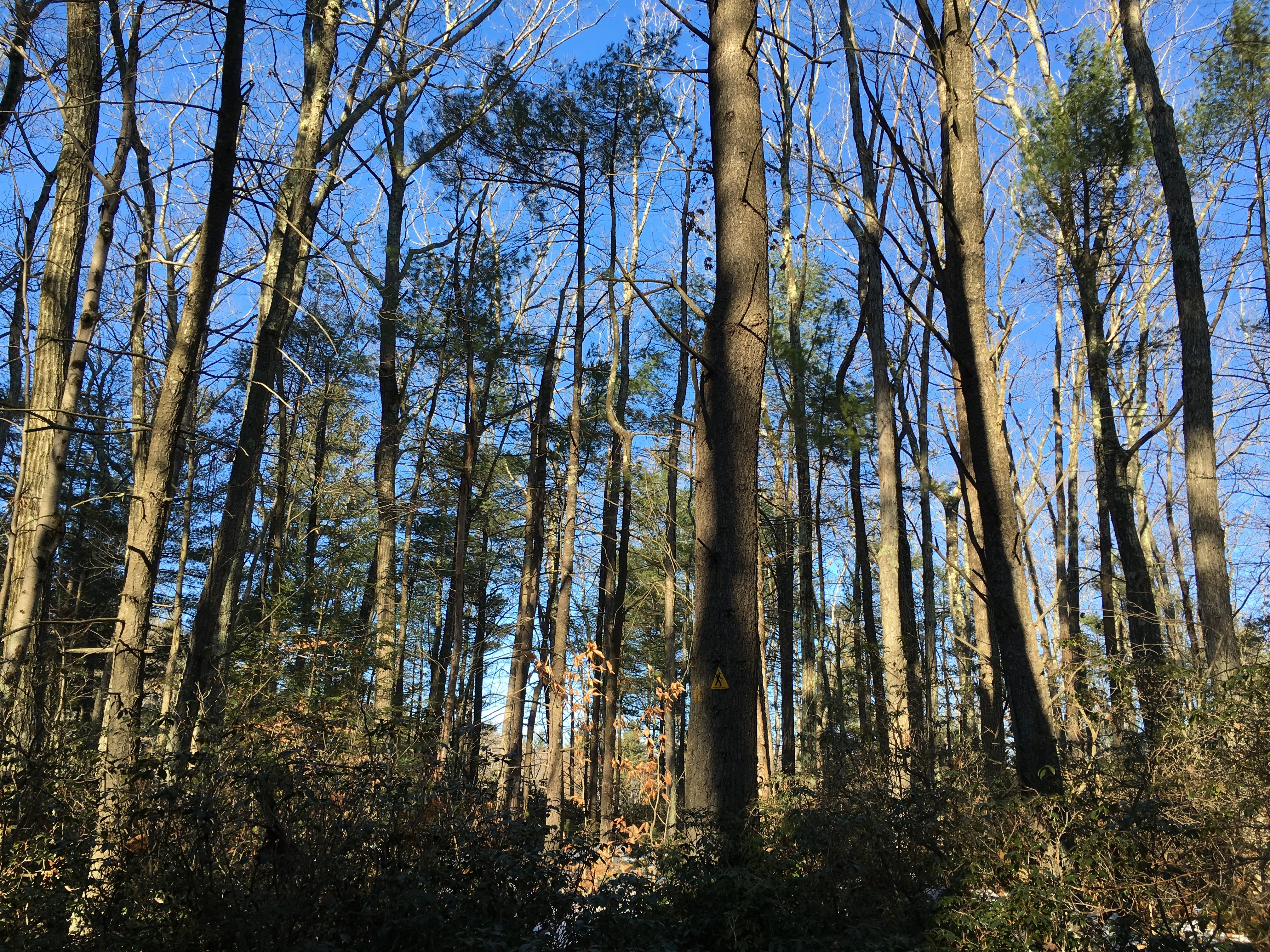
I finally found my way onto the Midstate trail, and headed North.  It was only a bit more than a mile to the road but it was not easy going due to the snow and ice.  My legs were already feeling the pressure.

024

026

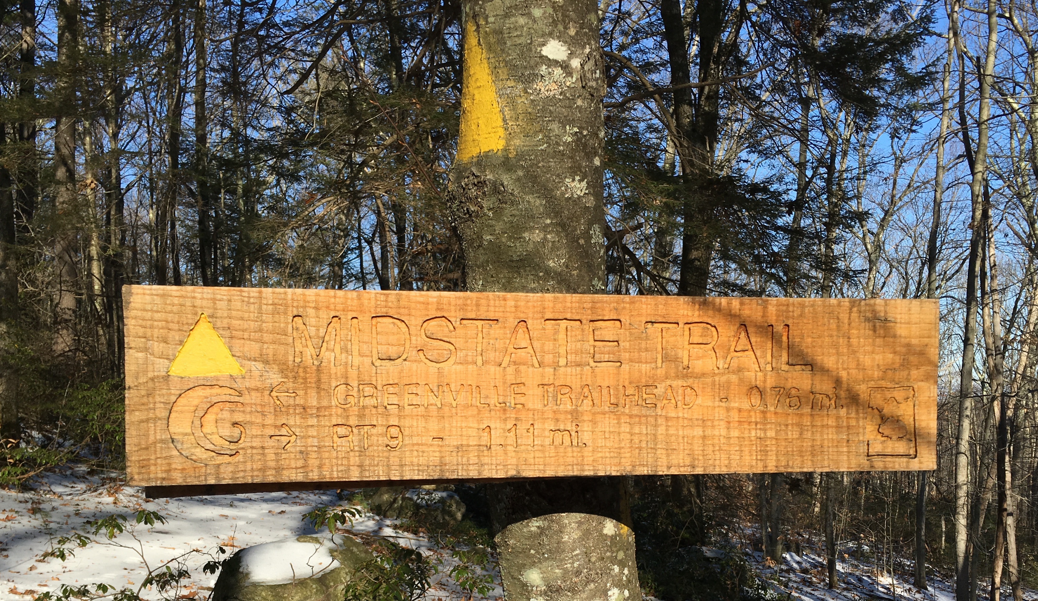
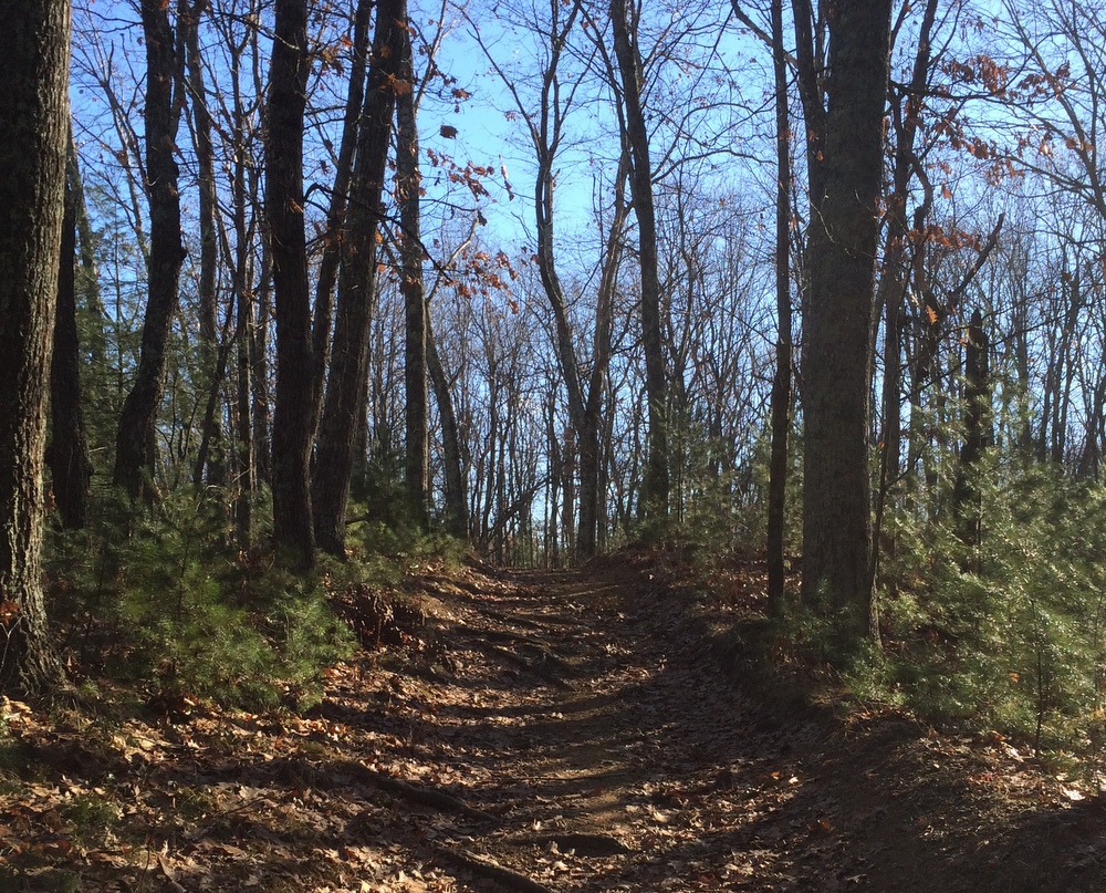
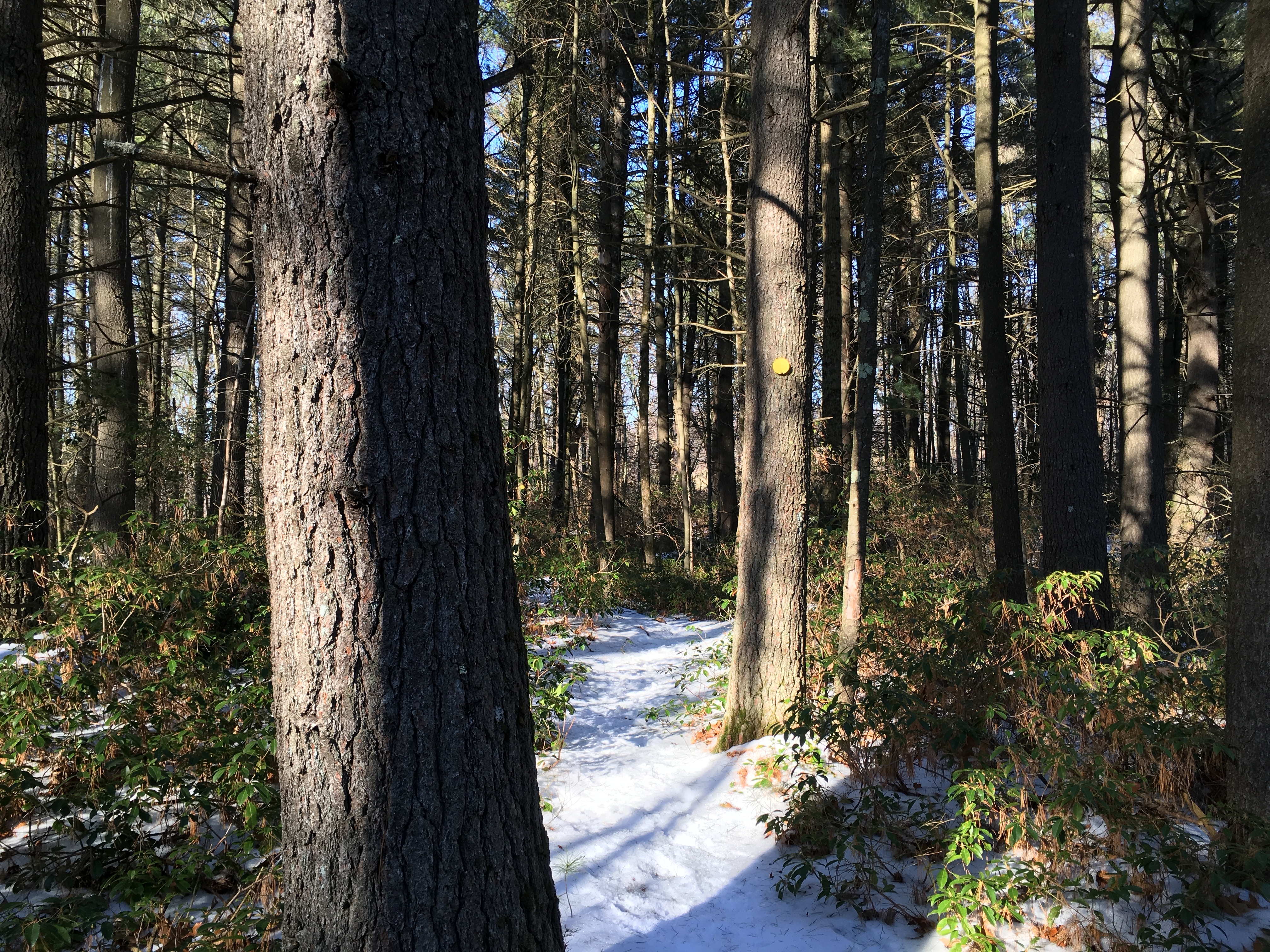
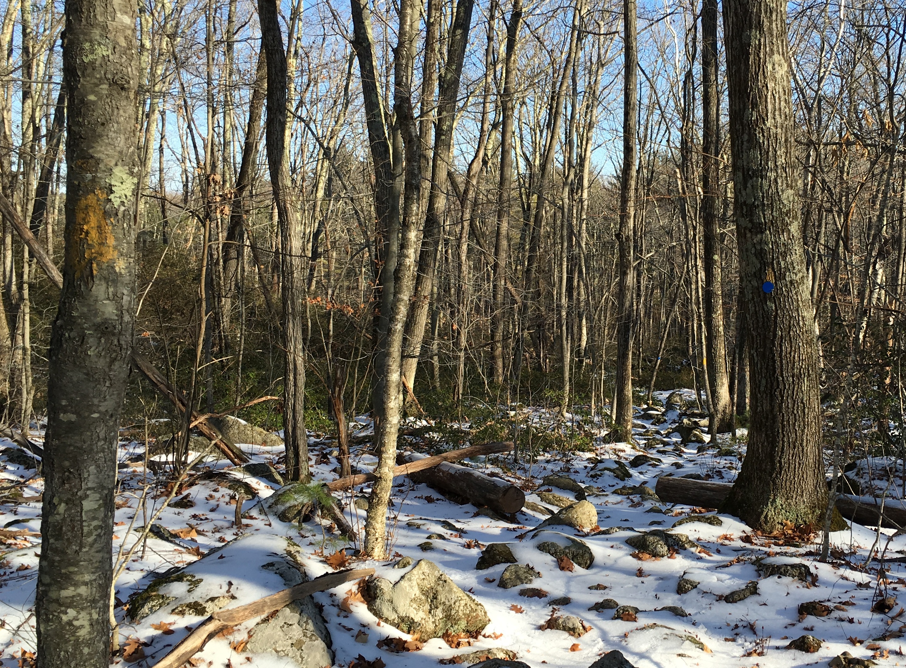
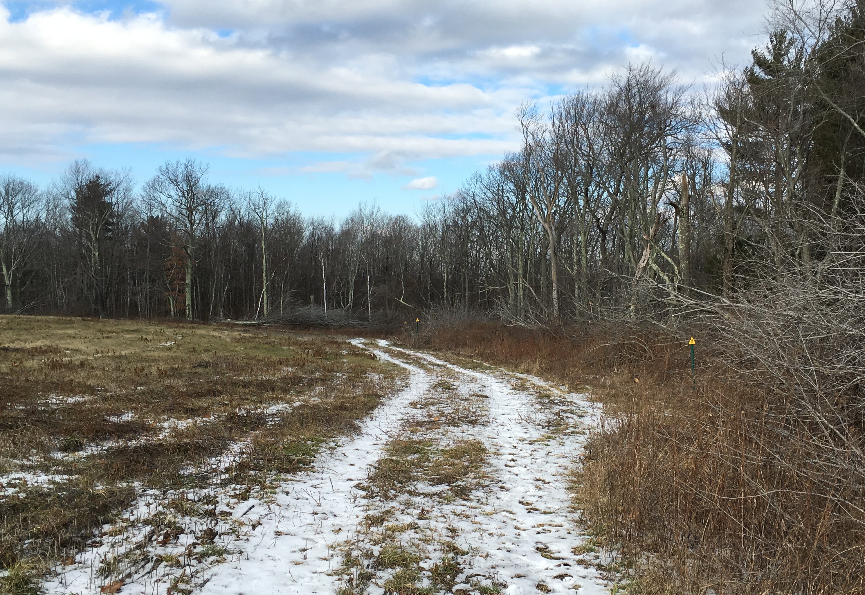
The trail overlaps with the trails on this property at a few points, but still maintains its yellow triangle blazes.  Finding the trail was never difficult. Below you can see two yellow blazes and a blue one, for the same trail.  By this point, as you can see, the signs of human traffic had lessened significantly.

029

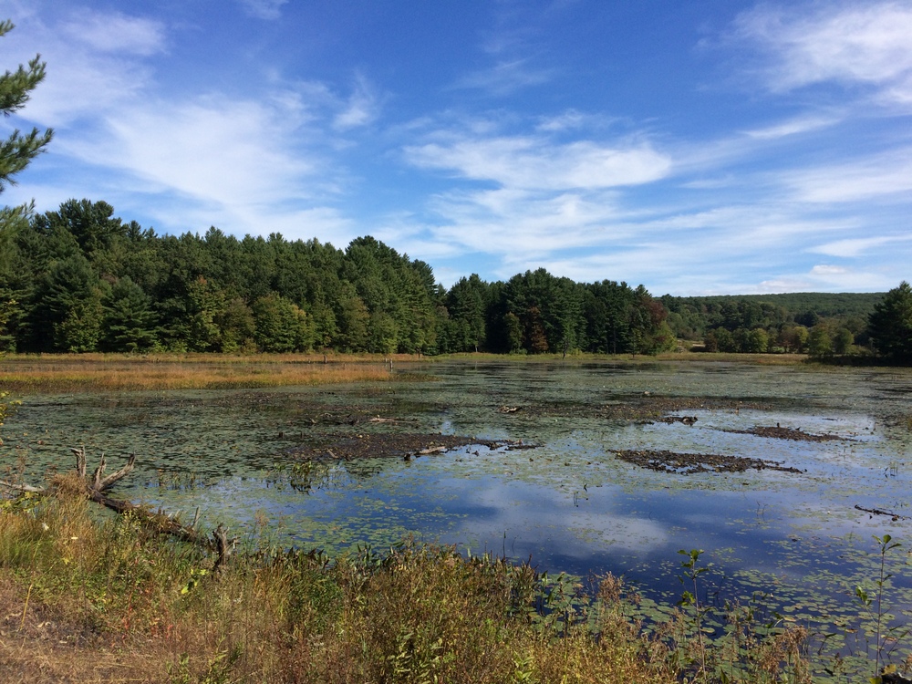
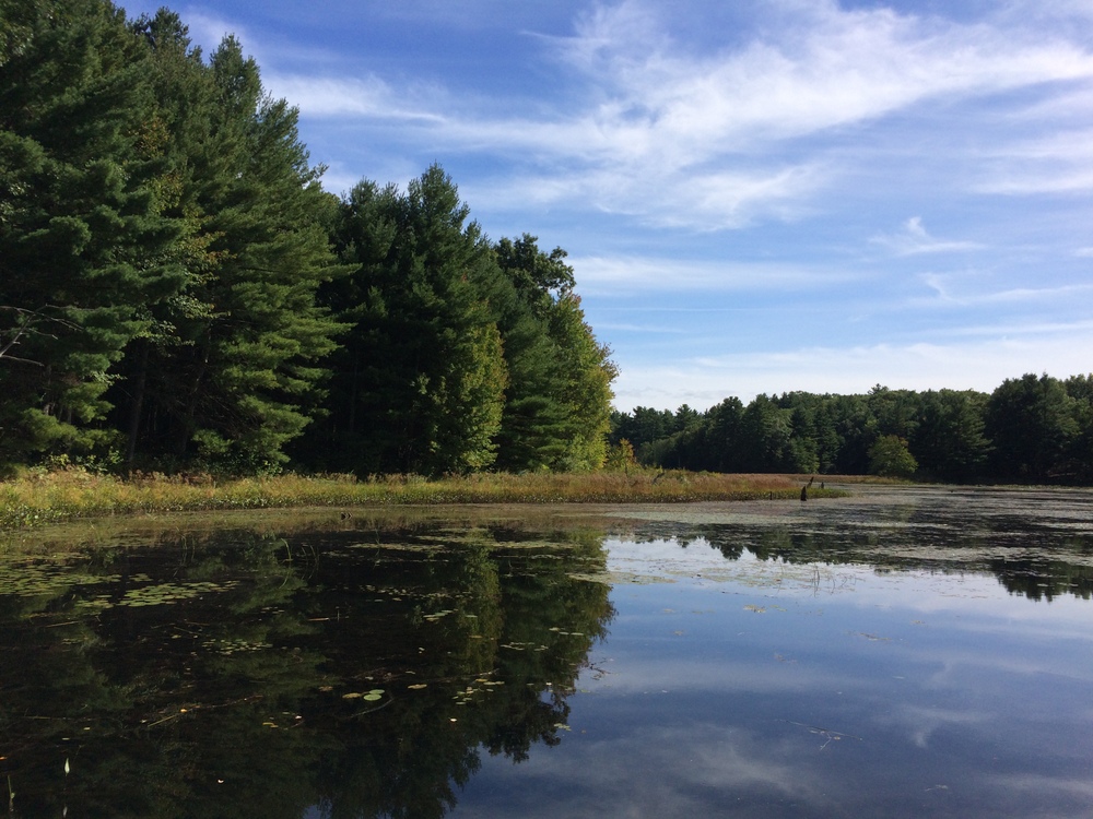
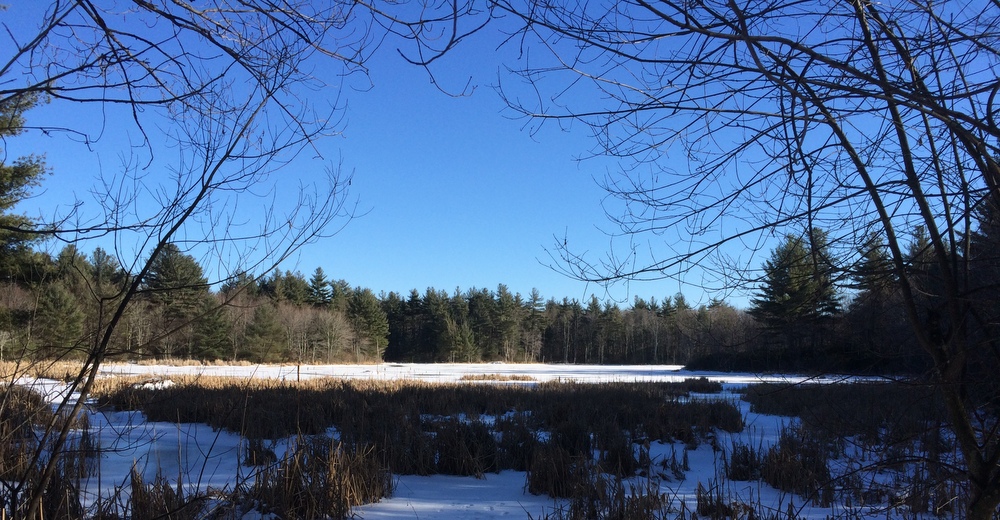
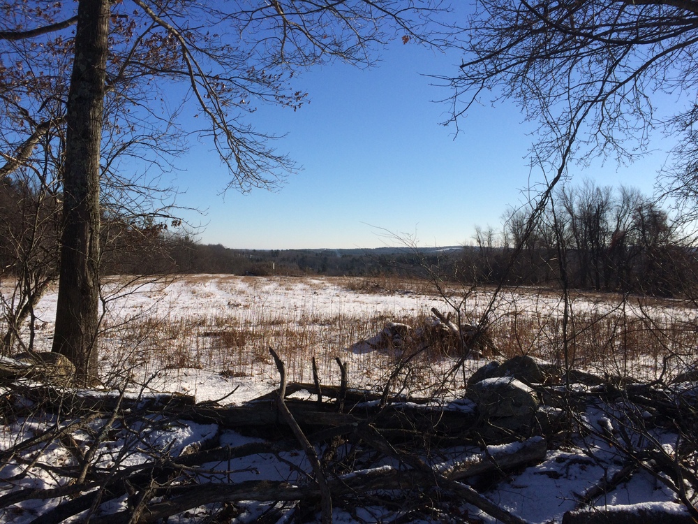
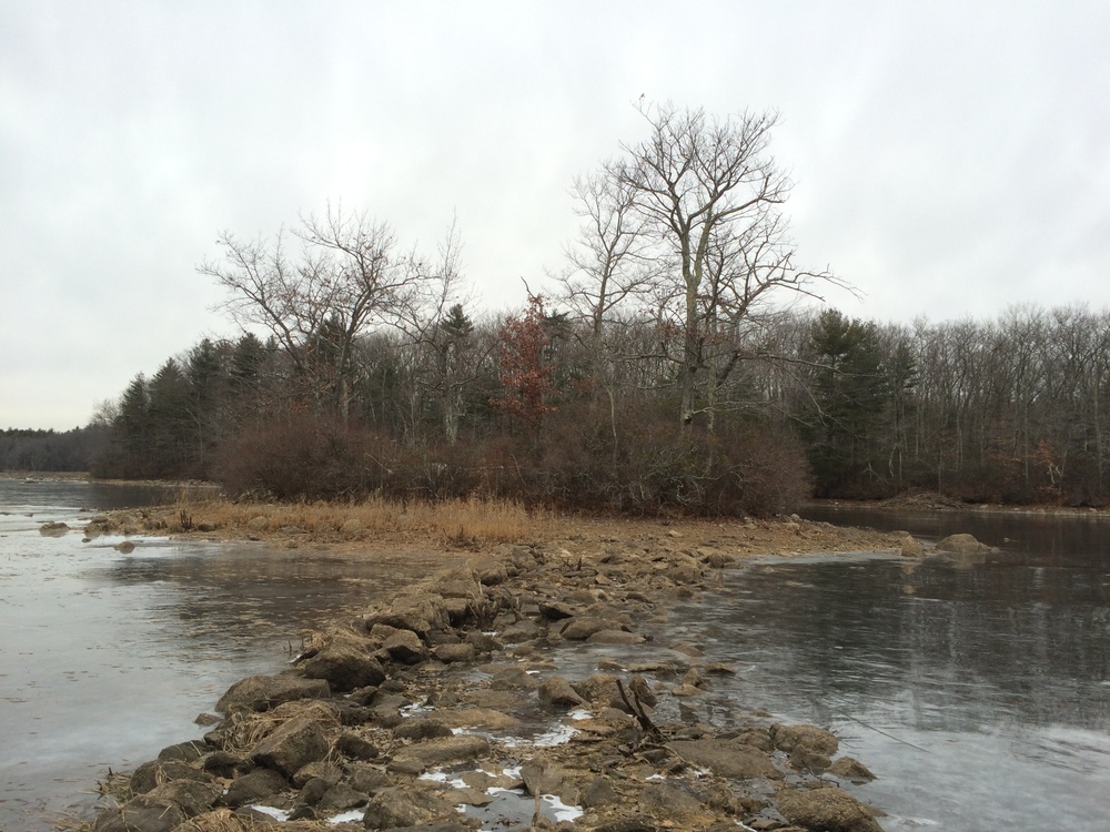
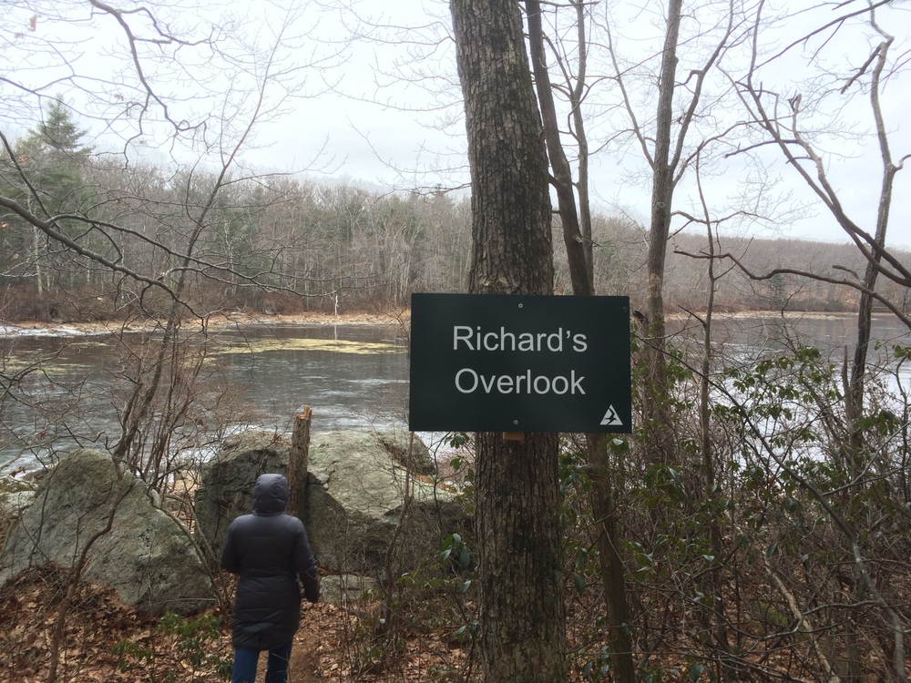
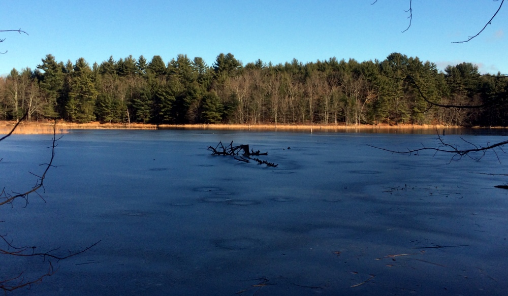
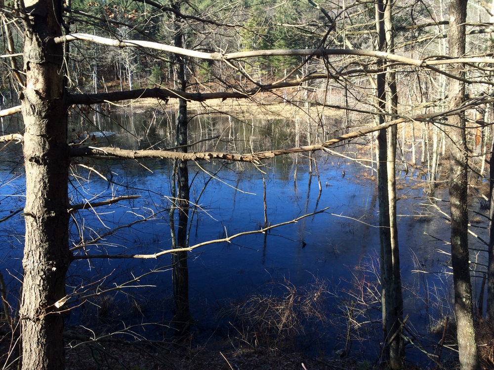
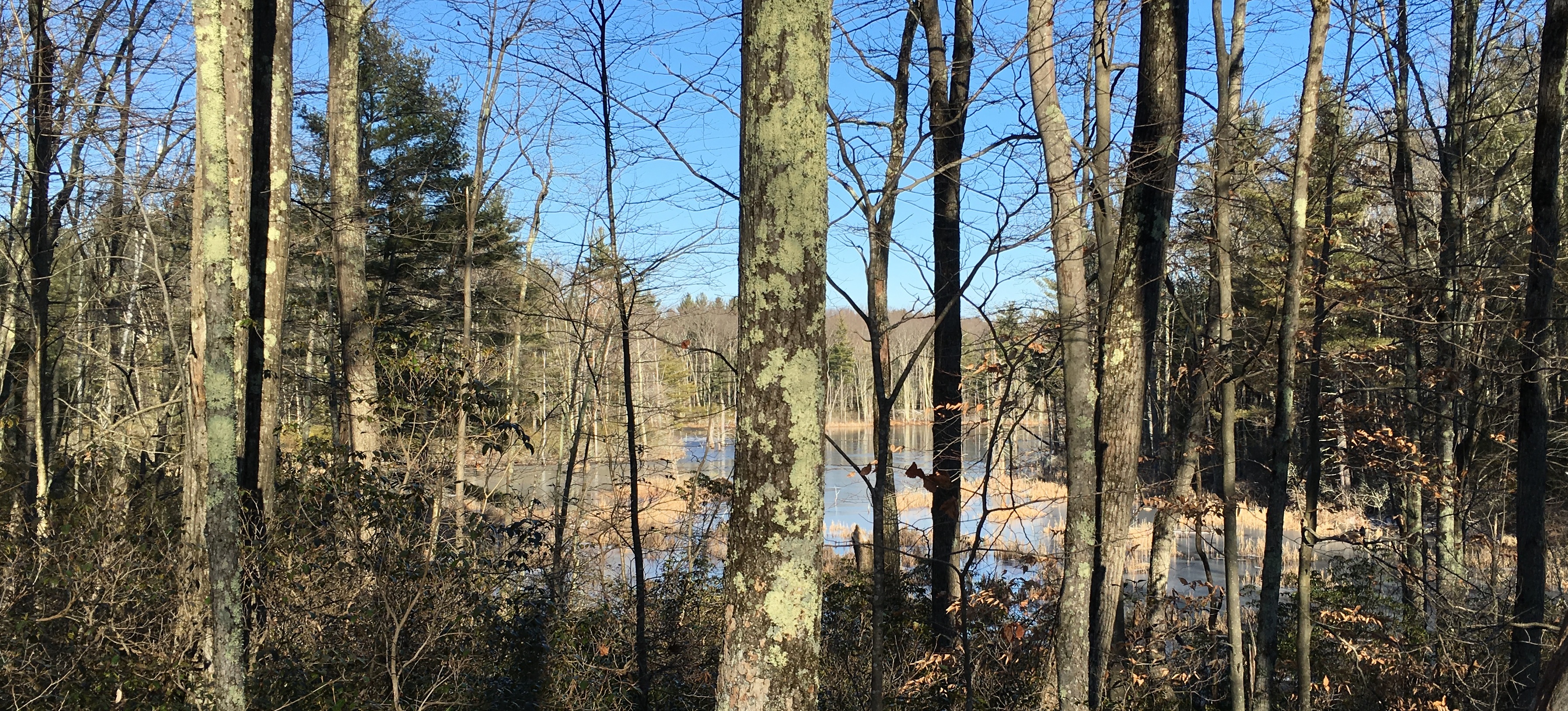
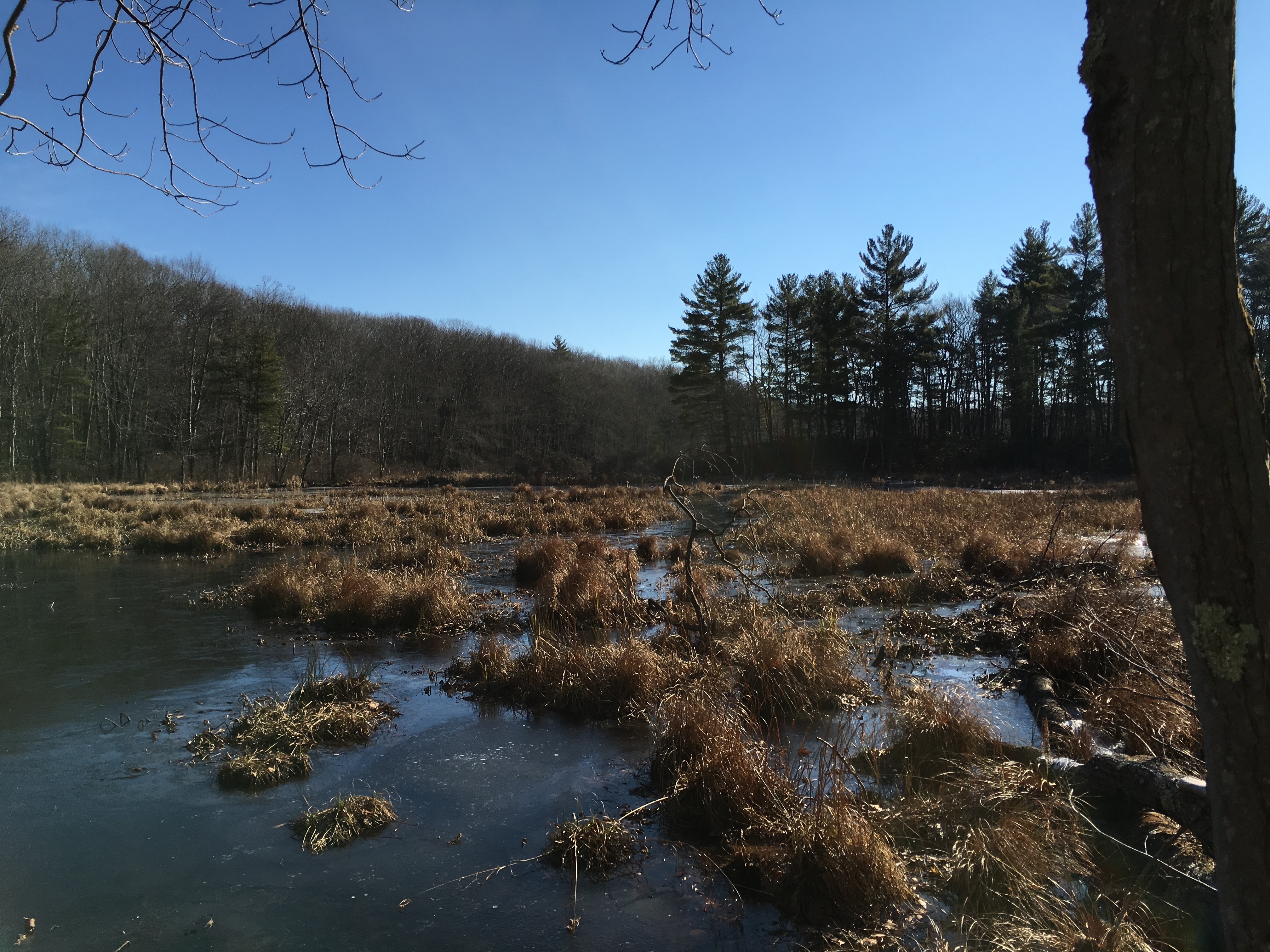
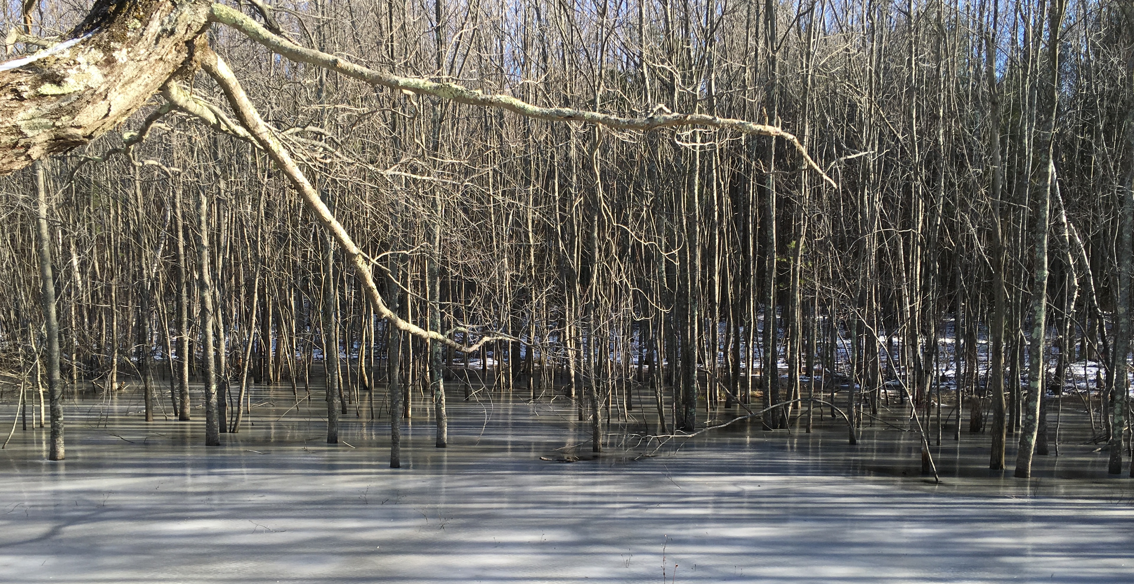
Part of what I like so much about this property is Burncoat Pond, and the beaver ponds and marsh areas that surround it.  There are numerous viewing points out to the water.  It was nice to see the water starting to freeze as the property transitioned to winter.

032

040

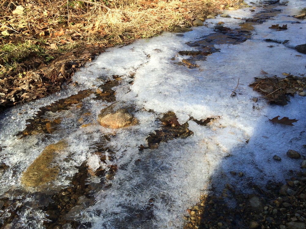
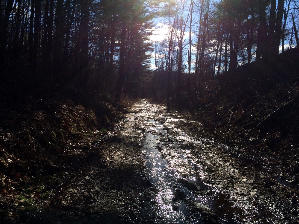
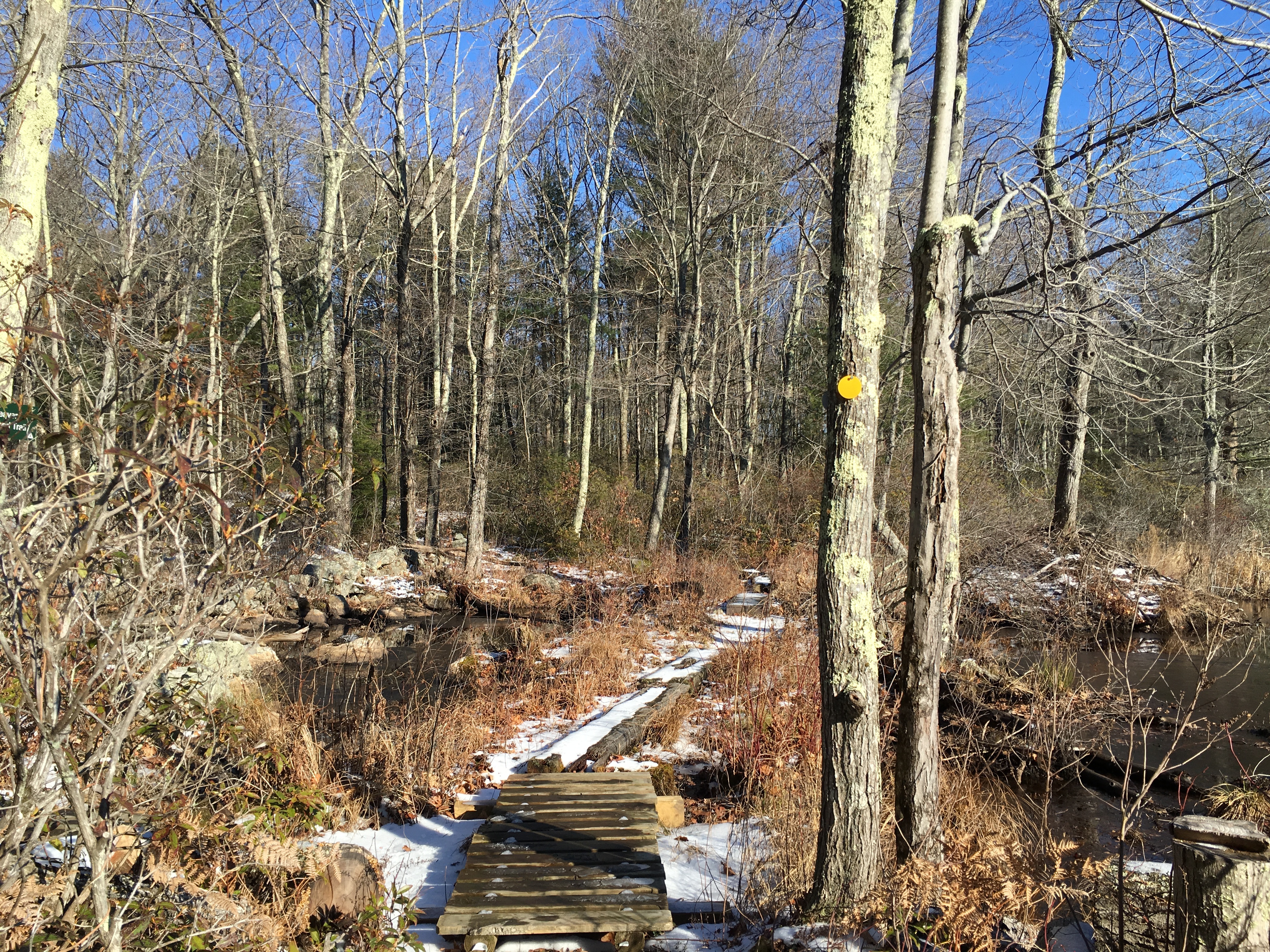
As the trail winds through the wetlands, there are a few areas where you have to travel on bridges to keep out of the muck (or the ice, in this case).  These were in excellent shape, having only recently been replaced (according to the fine folks on the Midstate Trail Facebook Group).

044

046

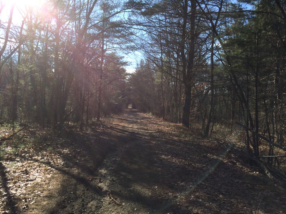
Again, human traffic on the trail was significantly less in this area as compared to closer to the trailhead.

049

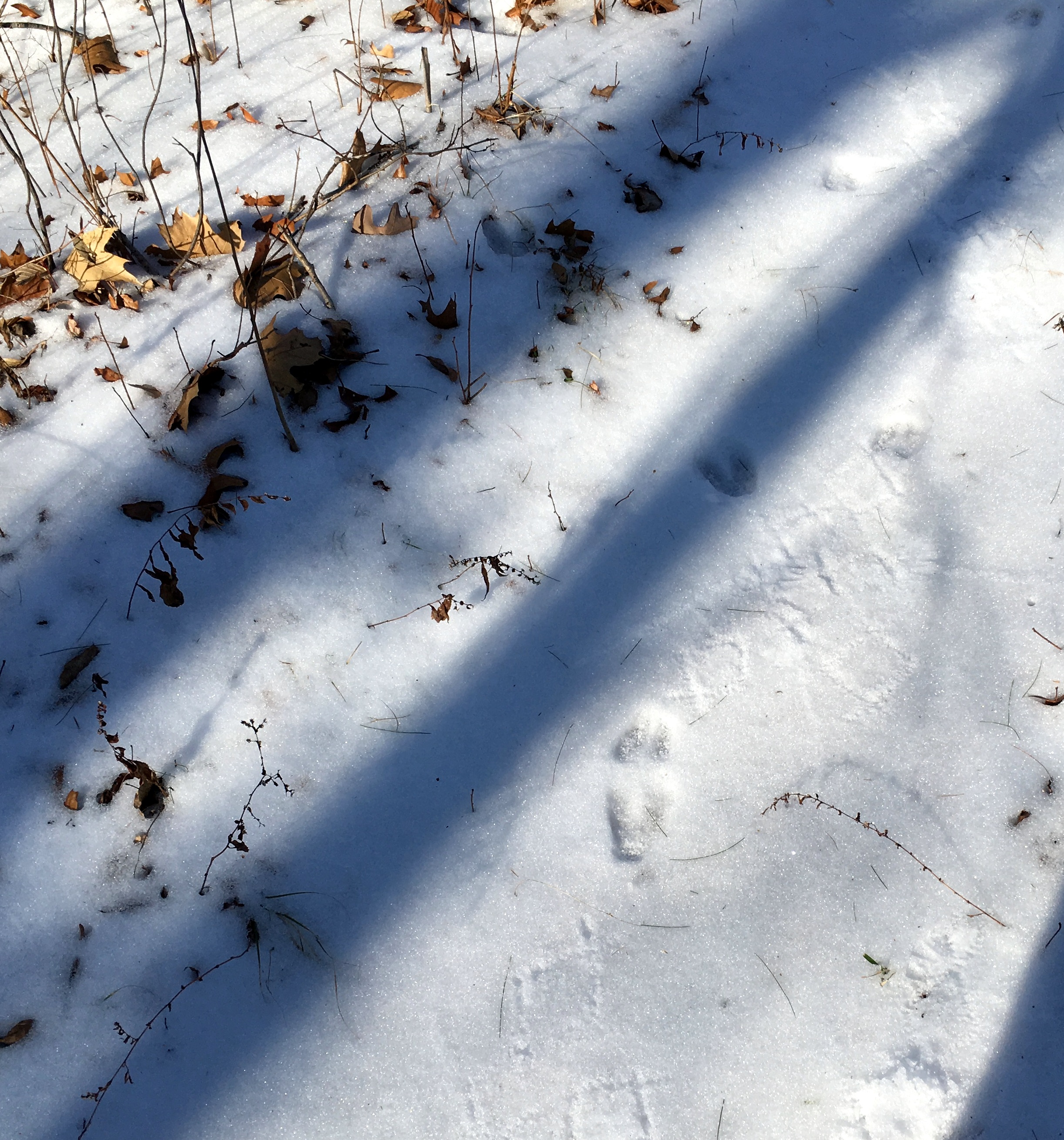
However, animal footprints were becoming more common.  I saw several sets of deer and turkey tracks as well as the usual squirrel tracks. Below you can see some prints as well as what may be like prints from someone wearing crampons (or snowshoes?).

050

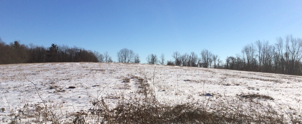
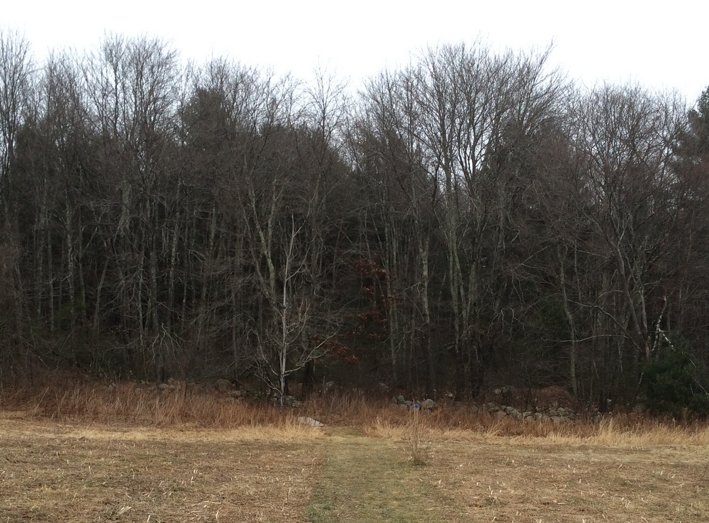
For a while the trail here passes by some private property with many No Trespassing signs on it.  It includes a massive field with No Hunting signs posted periodically — I saw many deer trails headed into this field as well as the property owner’s tree stand in one corner.  I imagine this family has a full freezer every year.

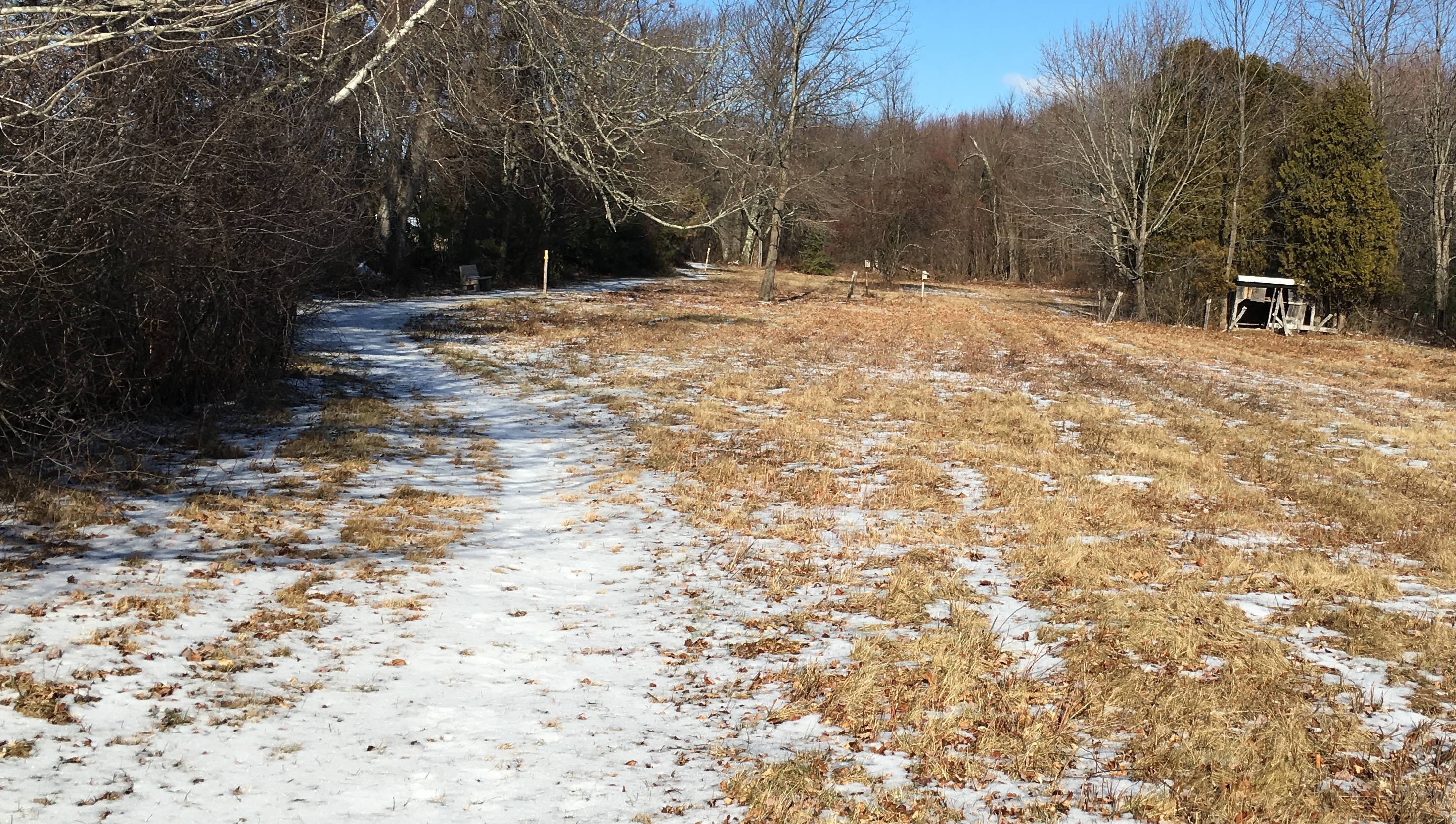
I was quickly approaching Route 9, though.  The trail here overlaps with Polar Springs Rd, and there is some roadside parking for those who want to hit the trail starting here.  There was a bench here and an old mostly ruined structure.

053

I walked out to Polar Springs Rd and out to Route 9, before turning around.

061

The trip back was mostly the same as the trip out, though my legs were much more tired.  I hadn’t been on a serious hike in months and I was feeling it.

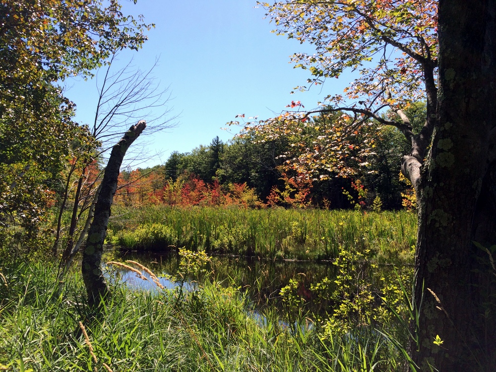
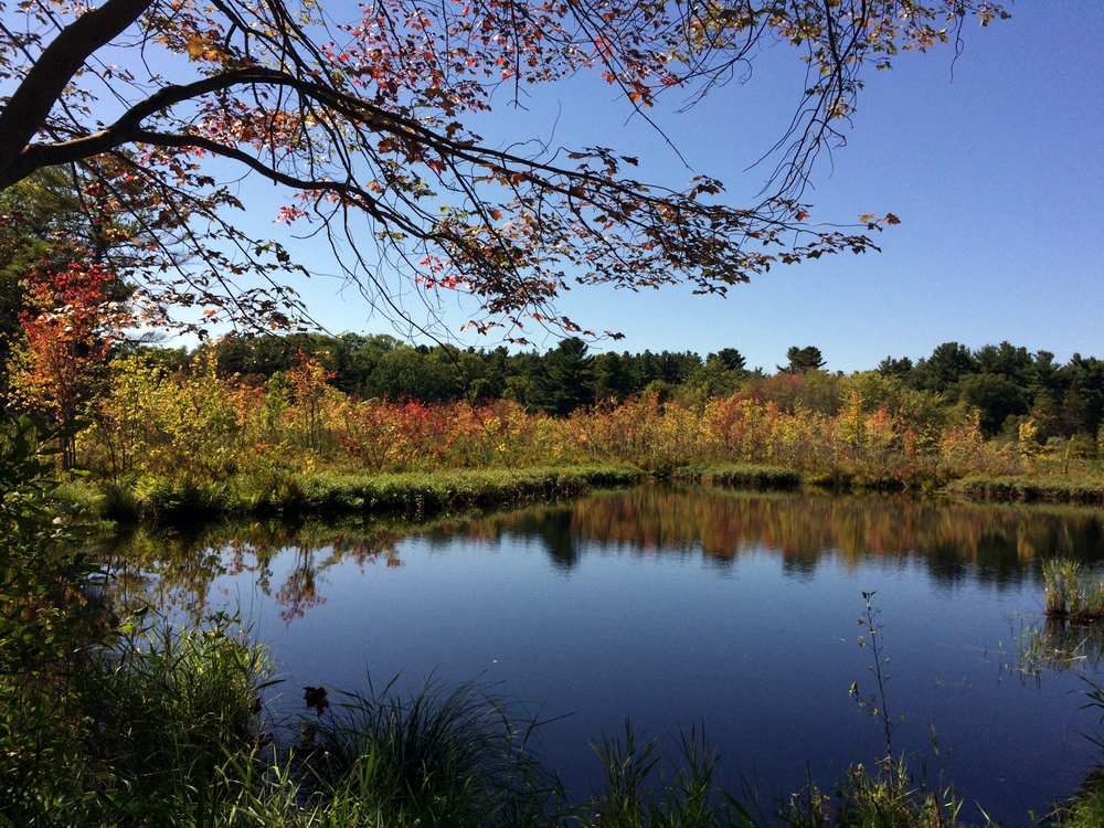
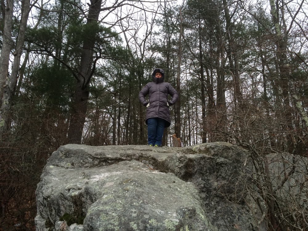
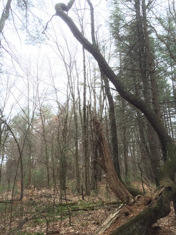
There were a couple different spots to see as I took a slightly different path back than I had out.

074

At the end, I had done four miles in two hours, and my legs were complaining loudly.  But it was a great hike and covered a piece of trail I’ve always wanted to explore.

Some day I want to cover the entire Midstate Trail.  Perhaps some more point explorations of it are in order.

Getting back into the swing of it

Over the summer, our hikes were tough to manage.  Without gymnastics blocking out the time, we either had to hike as a family, or hike when Evie was otherwise occupied, which wasn’t often.  Given the heat and the bugs, we didn’t get out nearly as often as we had hoped.

But Fall is here, and with it comes cooler temperatures, fewer bugs, and a renewed presence in gymnastics for our little bundle of energy.

So we’re getting back out there.  Over the last few weeks, when we’ve been able to, we’ve made it onto trails.  We visited Heins Farm again (just about a year after the last time) as well as the South Spencer Rail Trail (which I last visited in December).  We didn’t snap a lot of pictures, and I don’t really have much to describe in terms of a blow-by-blow, but it was good to get back on the trail.

015 021 034 035 917

Sibley Farm – Spencer

This is our second trip to the Sibley Farm property.  The first trip is described in a previous post.

It was a beautiful day to be outdoors yesterday, as far as winter days go.  The cold temperatures didn’t seem too bitter since the skies were clear and the air was calm.  With errands to run we only had a short window to enjoy the outdoors, so we returned to Sibley Farm to explore some of the trails we missed two weeks ago.

007

This time, we forked left from the parking area instead of right, and followed Sibley Trail (as seen on the map).  The trail is well marked and immediately settles into a light forest marked with occasional stands of mountain laurel.

011

The snow covering the ground made for pleasant views in all directions, while still being light enough that we could easily walk it in boots without needing better equipment.  A few others had been on these trails recently but the further we went from the parking lot, the more we were breaking ground ourselves instead of following directly in others’ tracks.

012 014

The terrain was quite uneven, and we took a steep descent towards the “Otter Pond” marked on the map.  We weren’t too excited about having to make this climb again, but what goes down must come up….  We paused to take some pictures by the pond before deciding to turn around here to avoid any issues with being late to get our daughter from gynmastics.

017

We returned the way we came,starting back up the hill we had just descended.

027

Then, we forked off to check out the large open fields marked on the map.  To do this we took first a detour onto the Bobolink Trail and then connected to the Midstate Trail. The Midstate walks along two large fields atop the hill here, making for a much different view.

031

We walked along these fields for the last part of the hike, and then headed down some hills back to the parking area.

036

It was nice to revisit the property with snow on the ground and to take a completely different set of trails than our previous visit.  We only covered a bit over two miles, but it was refreshing and invigorating to be out in the woods again in the crisp clear air.

Sibley Farm / Burncoat Pond – Spencer

For the second day in a row, we were able to get out for a hike. Today was our usual Saturday, with a couple hour break while Evie was in gymnastics. We were forced to leave a bit later than usual due to a delivery (my snowblower has been repaired; you can all thank me later when we get no snow this year) so we picked a spot close to home which was new to us.

In Spencer, a couple towns away, there’s a large plot of land (the Sibley and Warner Farm land, plus the Burncoat Pond Wildlife Sanctuary) with 8 miles of trails on it, managed and preserved by a special partnership of three separate groups: the Mass Audubon Society, the Greater Worcester Land Trust, and the Common Ground Land Trust.  You can read about it preservation in the Audubon Society press release here and check out the map here.  I’ve wanted to visit it for a while but hadn’t made it out there yet.  We decided to do a few miles there today and see what it was all about.

The parking area is on Greenville Rd, which is right off of Route 9 in Spencer.  It’s very easy to find.  At the lot is a massive informational kiosk outlining the partnership that has preserved this land, and outlining some of the trails and regulations for use of the land on the different parts of the property (no pets or hunting in the wildlife sanctuary, for example).

We decided to head into the Sanctuary first, following the Flat Rock Trail.  The trail slopes up a large open field and then enters a thick wood, as seen below.

005

The trail is very interesting but not difficult.  It is winding and uneven, but not steep in any spots.

006

It’s a mix of younger trees and some old behemoths.

008

We stepped off the trail briefly to explore a stone path out to an island on Burncoat Pond.  The island had views of the homes on the south section of the pond, and I imagine residents must frequently come out to the island either by boat or across the ice, as we found a fairly permanent fire pit loaded with charcoal there.011

017

Not far from the island, we found Richard’s Overlook, with beautiful views from a boulder to the entire northern part of the pond.

018

020

We continued to explore a bit, after finishing the Flat Rock Trail and moving on to the Kalmia Loop, dense with mountain laurel.

023

As we approached the two mile mark and checked the time, we realized we couldn’t do a longer loop, and cut the hike short, returning back mostly the way we had come.  We took a small detour on the Bluebird Trail which approached the parking area from a slightly different angle.

029

The Bluebird Trail also corresponds with the Midstate Trail for a few feet, giving me another Midstate Trail sign photo-op.

033

Back at the car we found we had finished three miles.  We were glad to get out of the chilly air, and on the ride home the snow began to fall.

We barely covered the surface of this property today and fully intend to come back and explore many more of the trails.  We are fortunate to have so many great and large properties within convenient distance of our home.

(Solo) South Spencer Rail Trail – Spencer

Two Saturdays in a row, holiday activities kept Jess and I from our now-weekly outdoor explorations.  When on the third Saturday, the last before Christmas, she departed for a family shopping excursion, I decided to get out into the woods, even if only for an hour or so.

Trying to stay close to home and not lose the whole day, I picked the South Spencer Rail Trail (read about it briefly at the Spencer Parks and Recreation web page), also called the Depot Trail.  It is a two-mile, mostly-flat trail connecting South Spencer Rd. and Chestnut St. in the center of Spencer, built along the abandoned South Spencer Railway (built in 1878 to connect two rail stations in Spencer).  We’d been here once before as a family to explore some geocaches, though we only covered half the trail that day.

Part of my goal with picking a rail trail was auditioning it for winter hiking, snowshoeing, or cross-country skiing.  The only reason I think it might not pass muster is its use as a snowmobile trail as well.

026

The trail looks like the below picture for much of its length; a wide, fairly flat trail, partially graveled but rutted and uneven.  Over the course of the two miles, I encountered wooded areas (including a section of Spencer State Forest), ball parks, and residential areas to each side of the trail.

030

This unmarked side trail headed into Spencer State Forest.  Given it was unmarked and we’re technically still in deer season, I decided to pass.  Looking at another map now, though, I see it’s technically part of the rail trail and I probably could have explored it.  Next time, I guess….

036

Shortly after that side trail is a pond which was half-frozen.

039

On the opposite side of the pond, another side trail, this one even less inviting (and not on state property).

046

All along the trail, there are spots like the below where the trail meets up with unmarked side trails.  I suspect these may be dirt bike trails or snowmobile trails; Spencer is littered with snowmobile trails for some reason (I’m sure they’re great, I’m just always surprised to see them!).

047

As the trail continued, it got a little less well-maintained.  Here you can see that the drainage isn’t as good and the trail serves as a runoff for groundwater.

050

Still, lots of pretty little ponds and such along the side.

054

Here, some of the water runoff was still active, flowing rapidly under a icy surface.

058

I found two of these markers along the trail; I’m not sure that they were intended for.  They were marked with “W”s.  The trail was heading northeast at this point, for what it’s worth.064

After two miles, the trail unceremoniously ends at a residential street.  There is no sign, just some concrete pylons marking the end of the trail.  I turned around and walked back, this time heading southwest and into the sun.

079 083

One more picture at the pond, and then back home, to do some housecleaning and gift wrapping….

090