Plimpton Forest (and a bit more)

Some news to start: next month I’m heading on a three night, four day hike through the White Mountains of New Hampshire, staying overnights at the High Huts of the White Mountains with some friends from work. So I’ve been gearing up and doing practice hikes as often as I can.  I have yet to do a real tough mountain hike (I plan to hit up Wachusett before the hike, but am not sure when I’ll make it happen), but this Labor Day I wanted to hike several days in my hiking boots to break them in and make sure I shook out any issues.

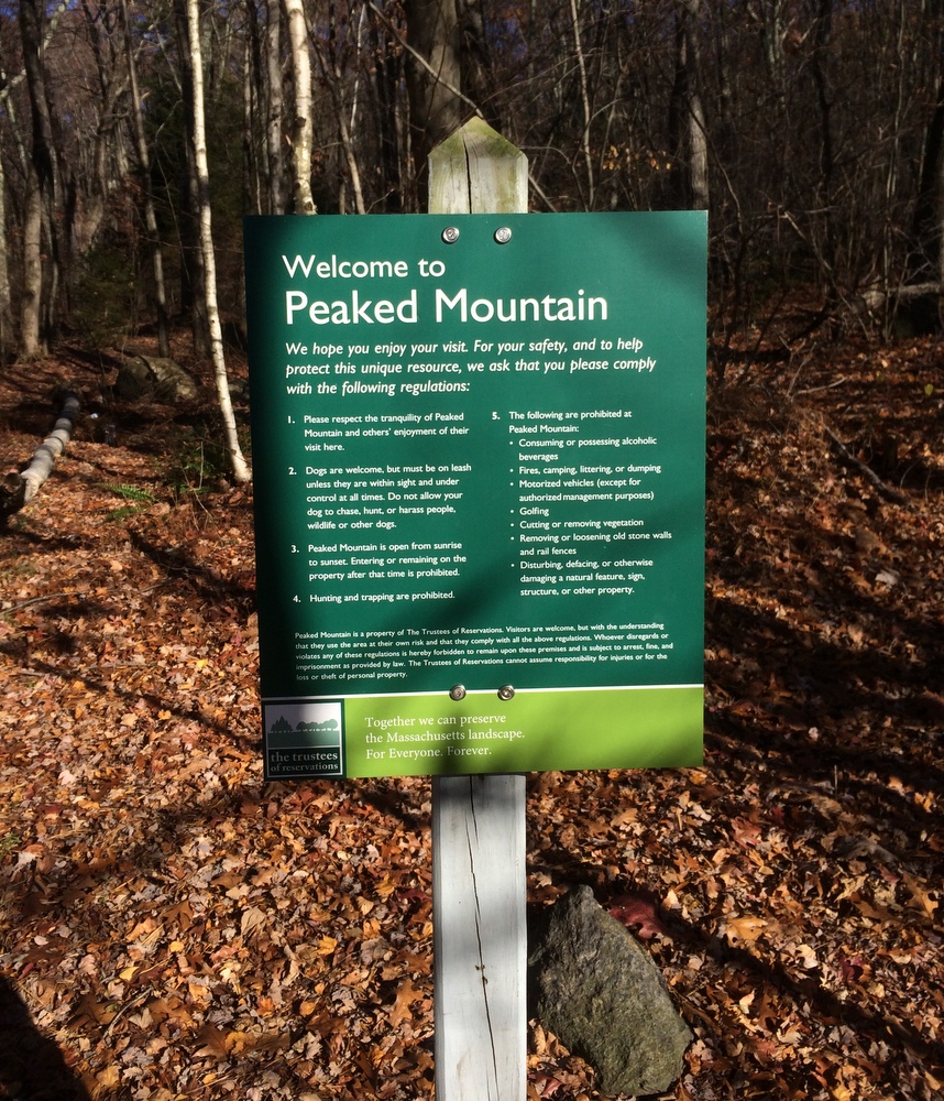
I had Friday off, so I started with a solo hike on a piece of property newly acquired by the town of Sturbridge, the Plimpton Community Forest.  The forest was a big win for open space advocates in the area, as numerous sources of money had to combine to make up enough to buy the land rather than letting it be developed.  It’s located next door to Hamilton Rod & Gun, where I’m a member (the club and its members were instrumental in getting the land protected), and also connects to two other open spaces (Wells State Park and the Wolf Swamp WMA).  It creates (or, perhaps, preserves) a continuous tract of open land, great for outdoor recreation as well as wildlife habitat preservation.

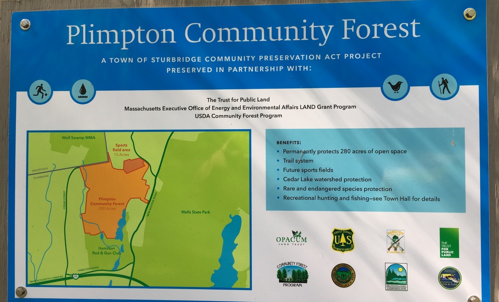
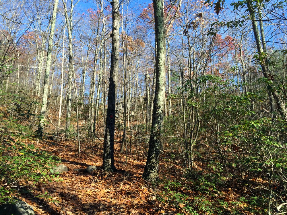
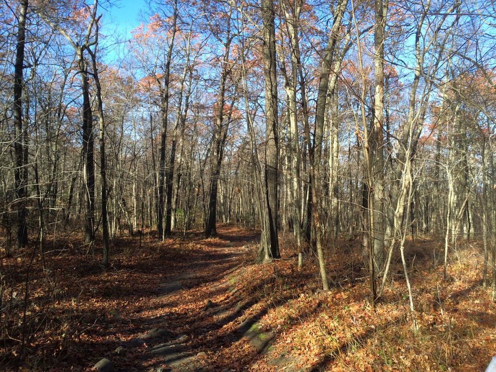
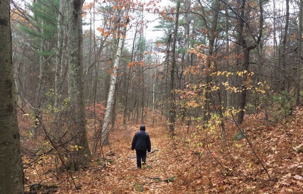
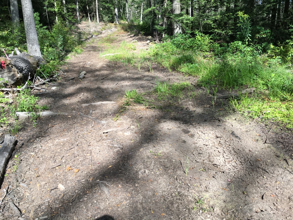
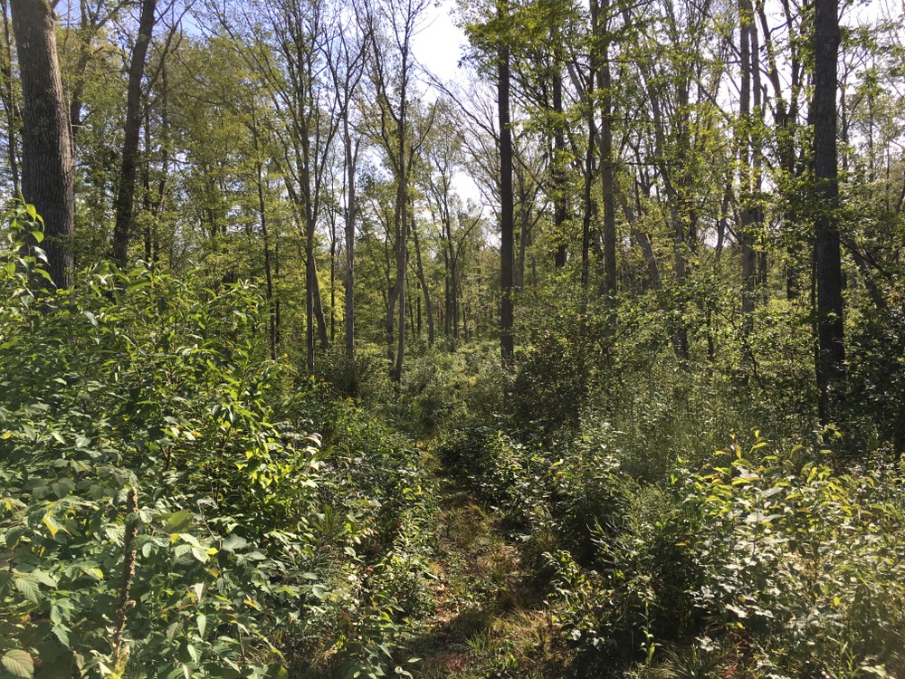
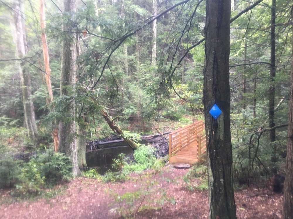
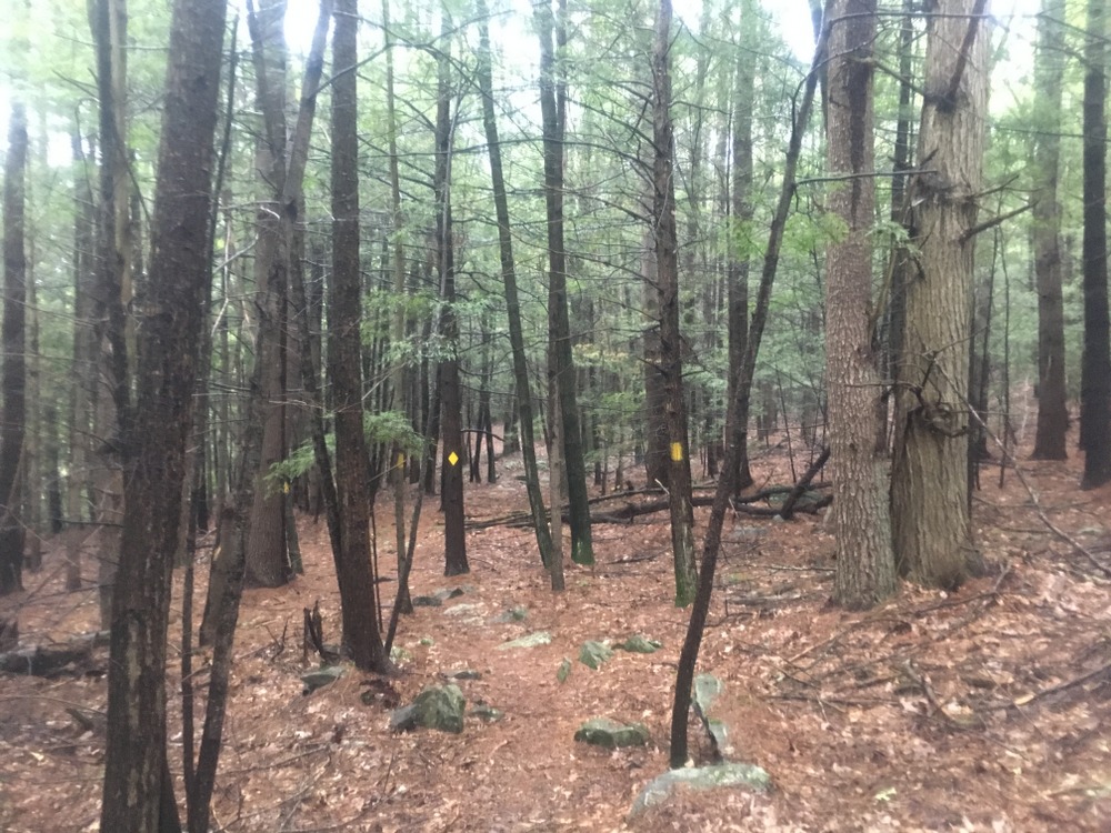
There are no trail maps for the property yet, but I knew that volunteers had marked some trails two weeks prior, so I went in search of those.  There are two trails on the property right now, one marked with red blazes and one with yellow.  The red trail starts up a fairly steep hill, and is obviously along an old road in some spots as it’s fairly wide.

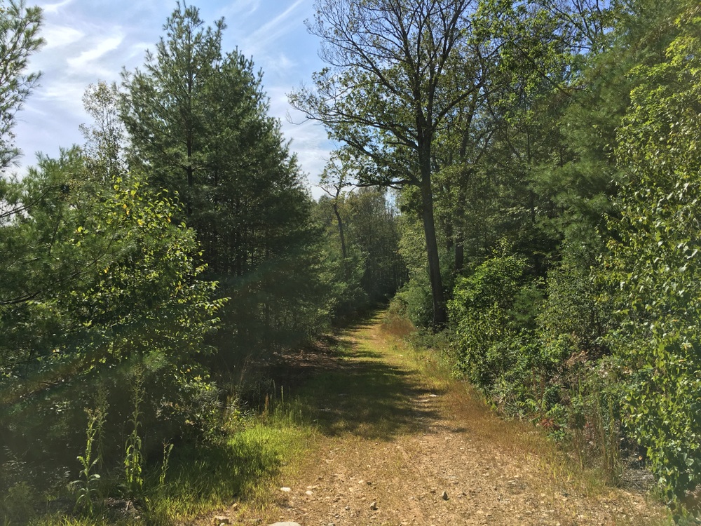
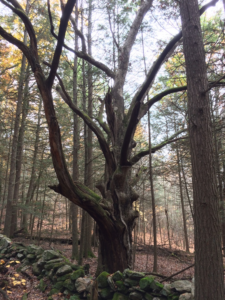
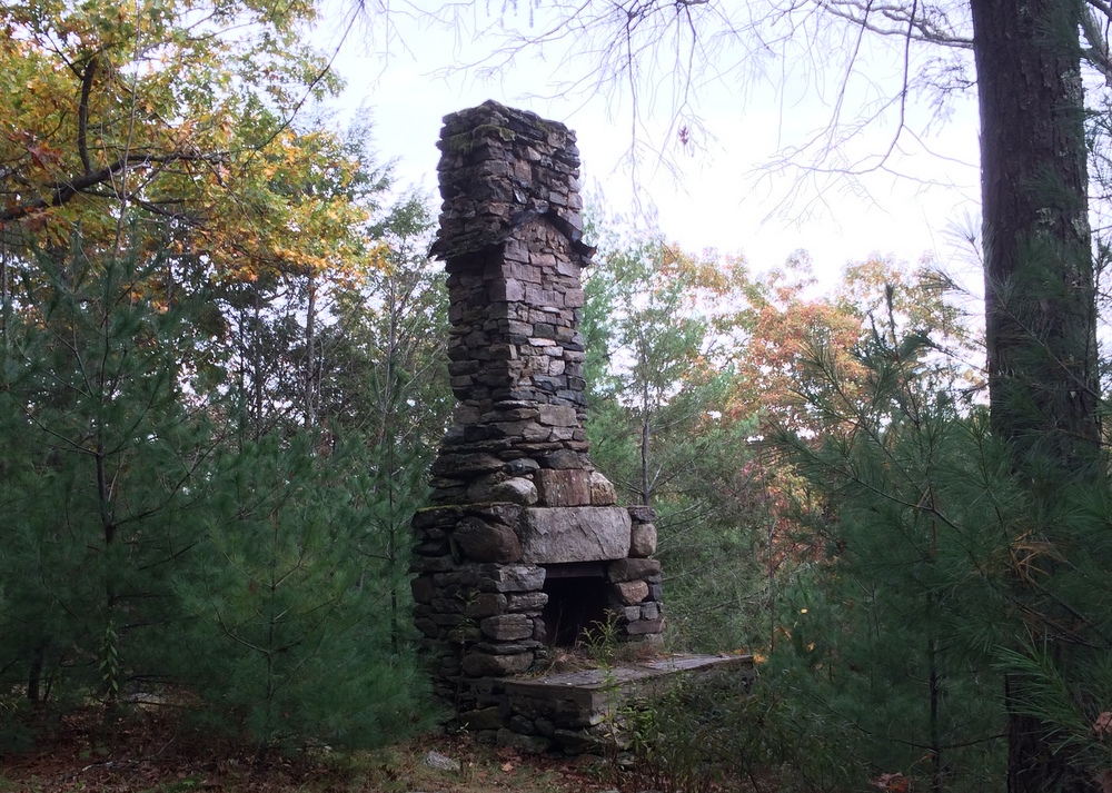
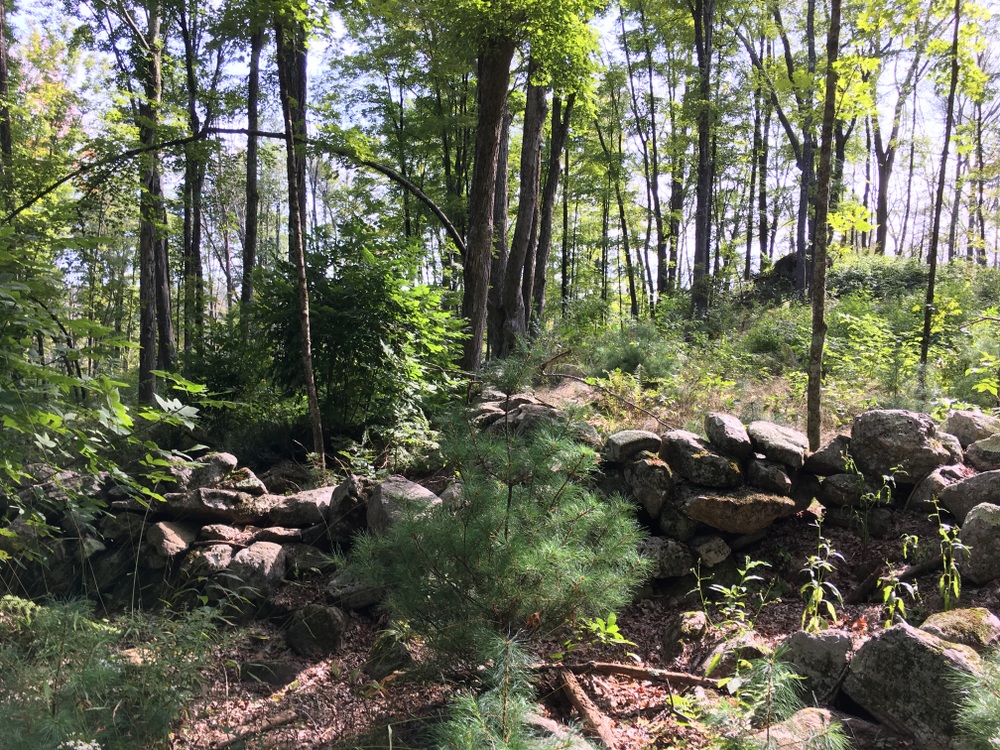
The trail goes through some sections which have been logged but also trails along some beautiful old stone walls.

There are also some muddy parts, which I’m guessing will be quite marshy in wetter weather.

The red trail was clearly marked and easy to follow, and it was obvious when it ended. Signs marked the property boundary, and according to my GPS I was close to a stream crossing which would have put me on private property.  I followed the red trail back and then followed the fork which was the yellow trail.

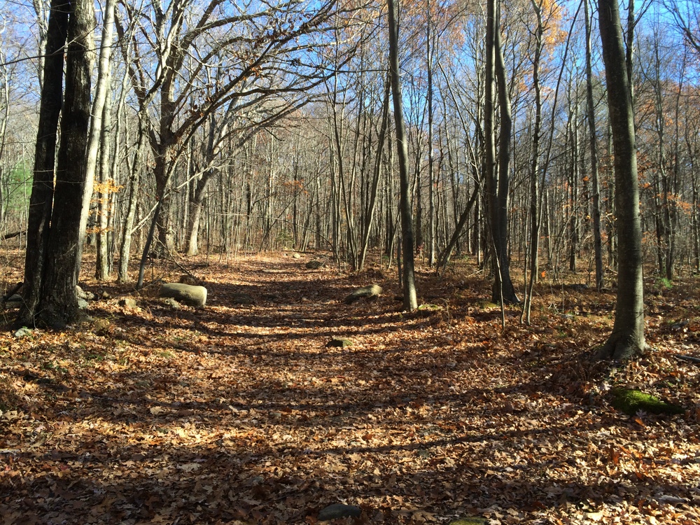
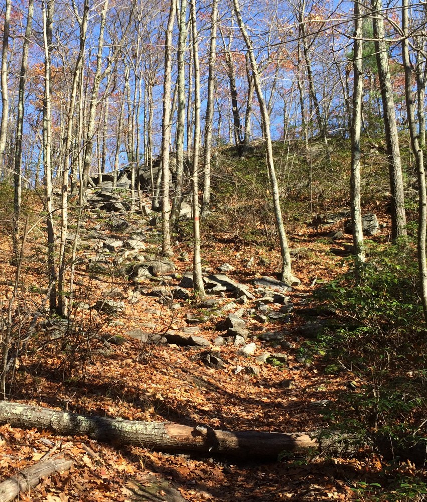
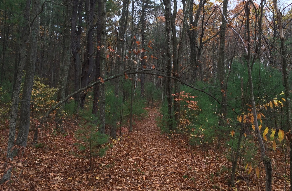
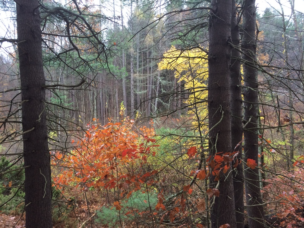
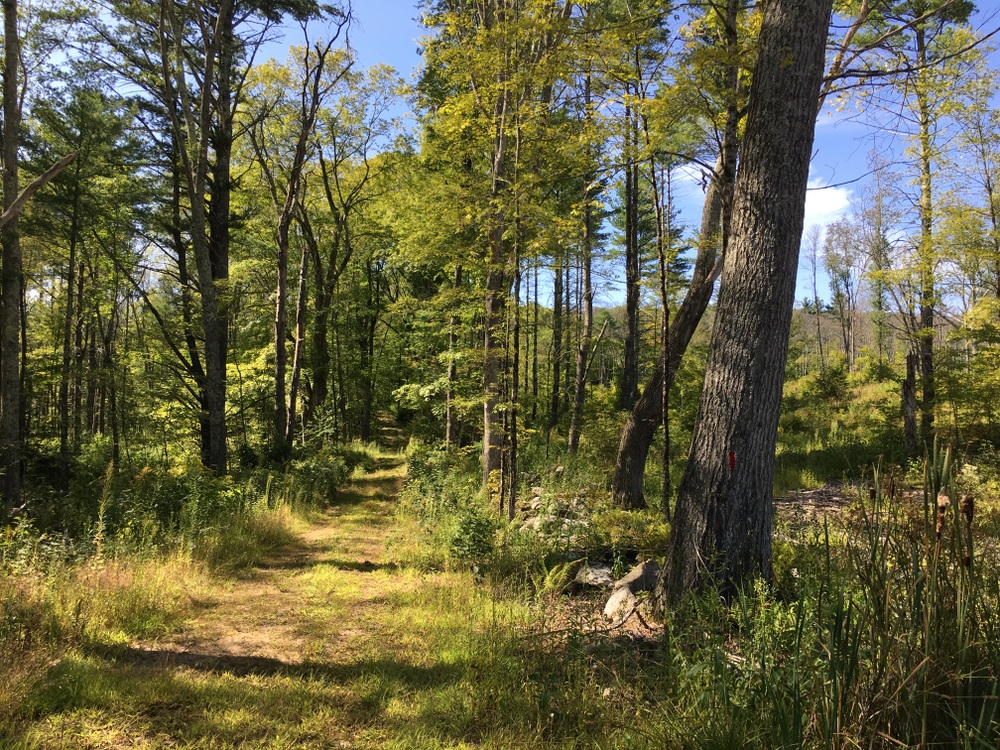
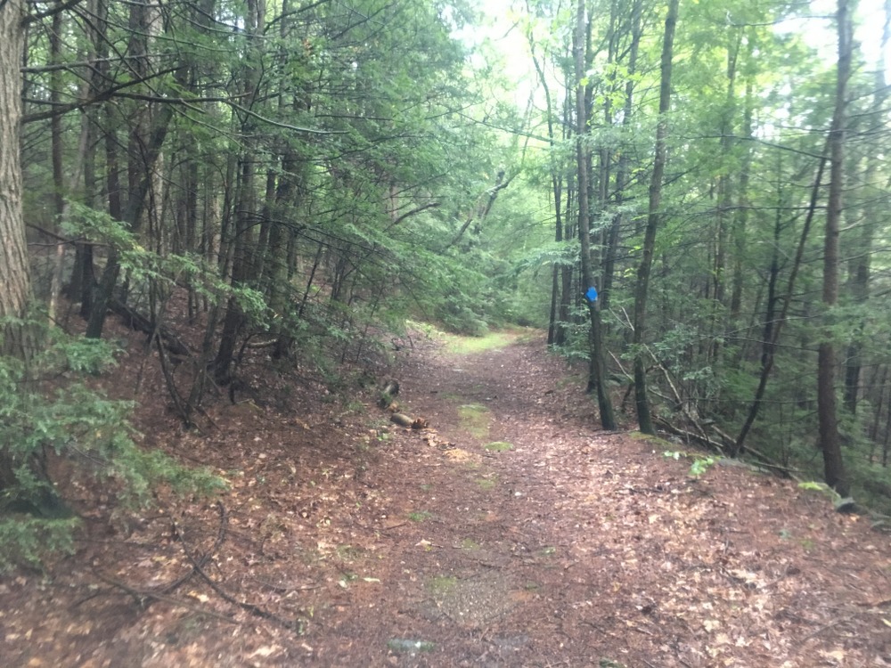
The yellow trail was much narrower and windier, with some slightly challenging terrain in spots.

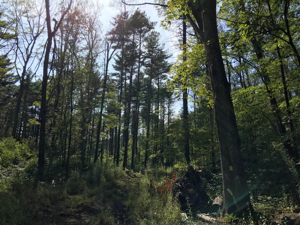
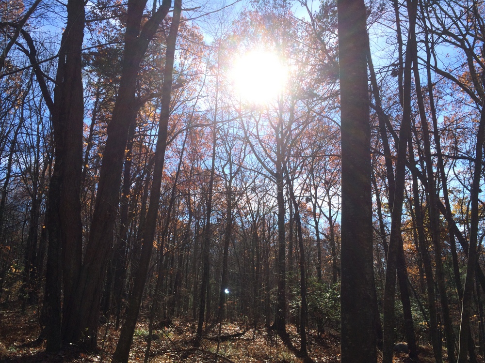
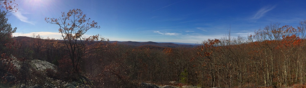
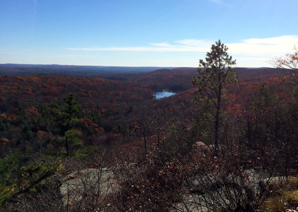
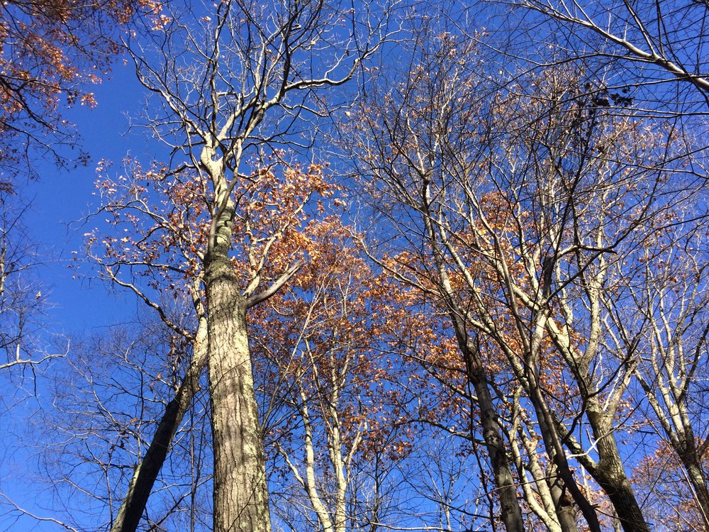
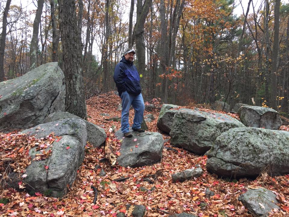
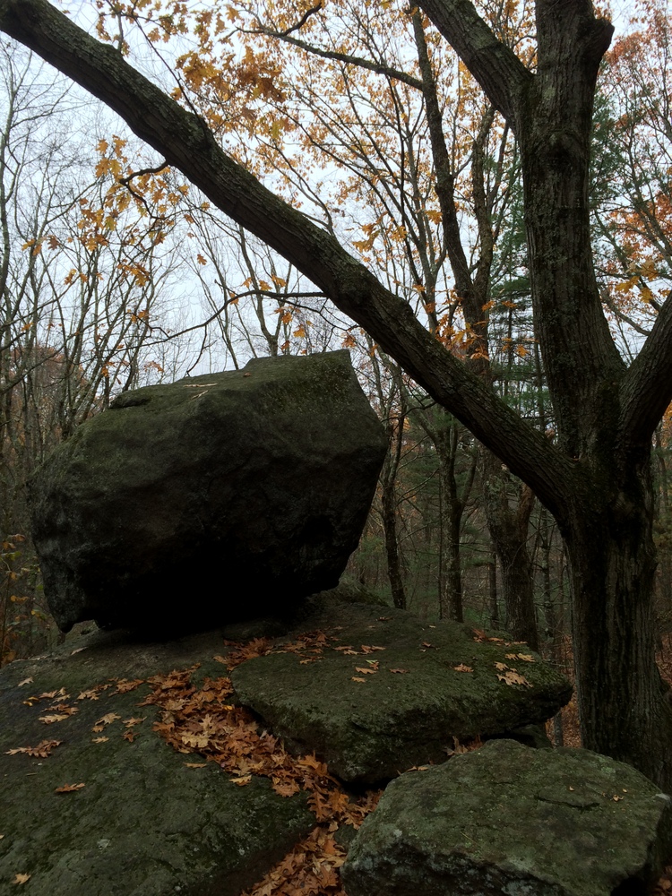
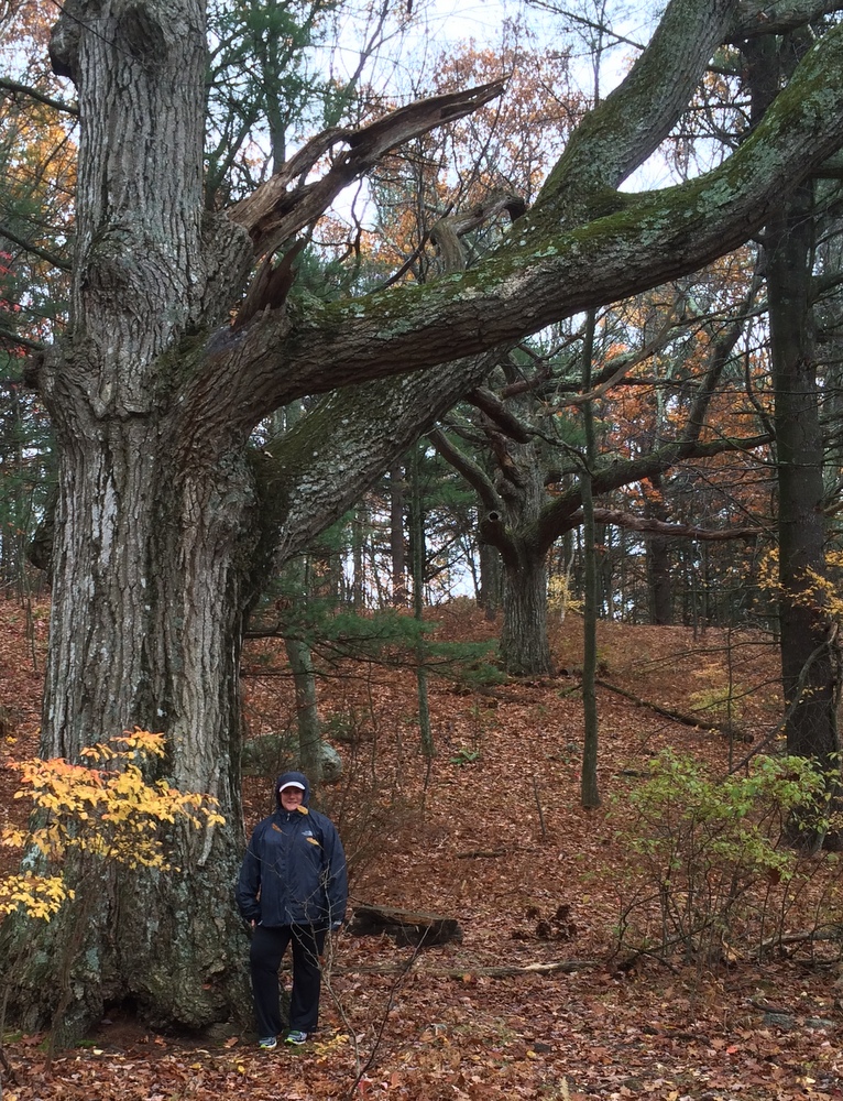
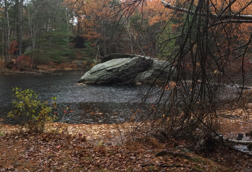
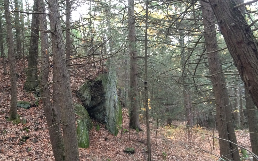
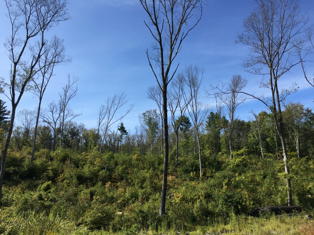
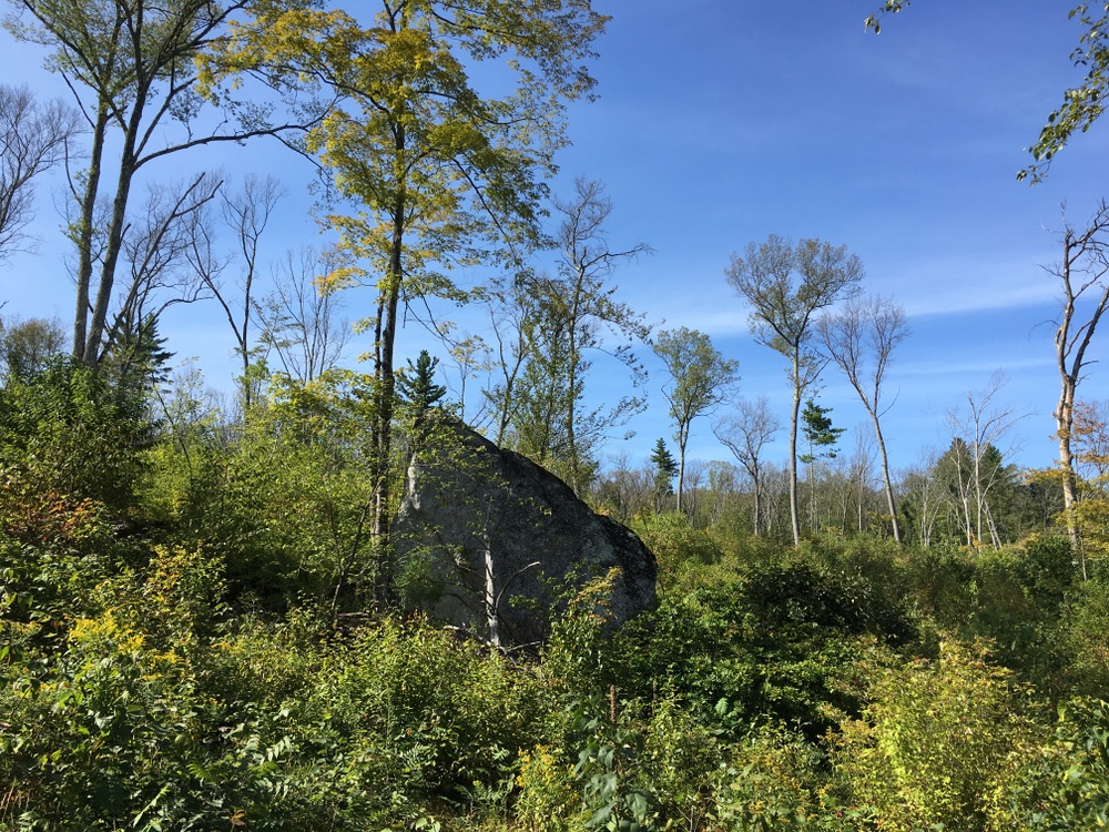
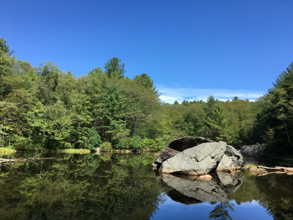
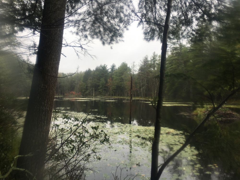
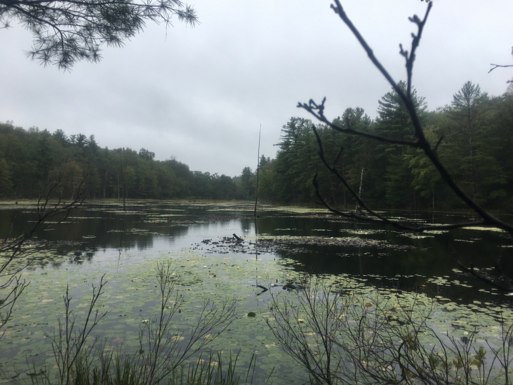
The yellow trail goes through some open areas which are beautiful and peaceful (there were no real sounds of neighboring roads, a nice treat for such a close-by trail).  I quite liked the lone boulder seen below.

The trail started to narrow significantly and eventually the markers disappeared. There was no sign that the trail had ended, but there were no more blazes and no path to follow. I believe there is more work to be done here.

Doing both trails added up to about three miles of peaceful hiking.

But … that wasn’t enough.

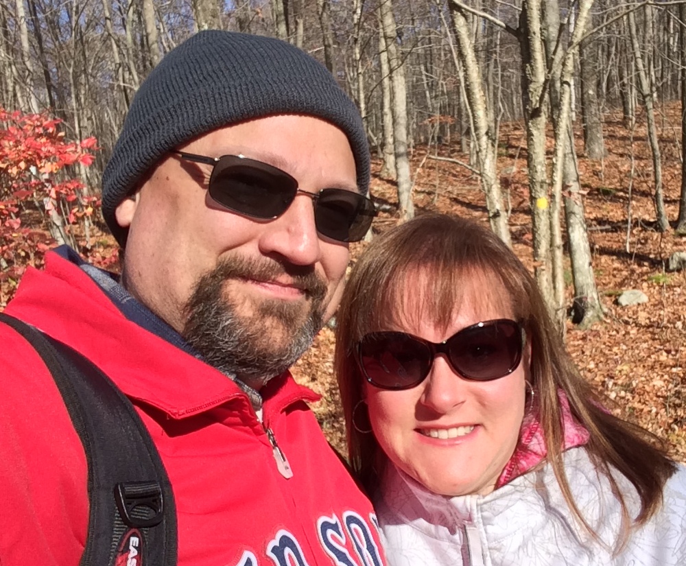
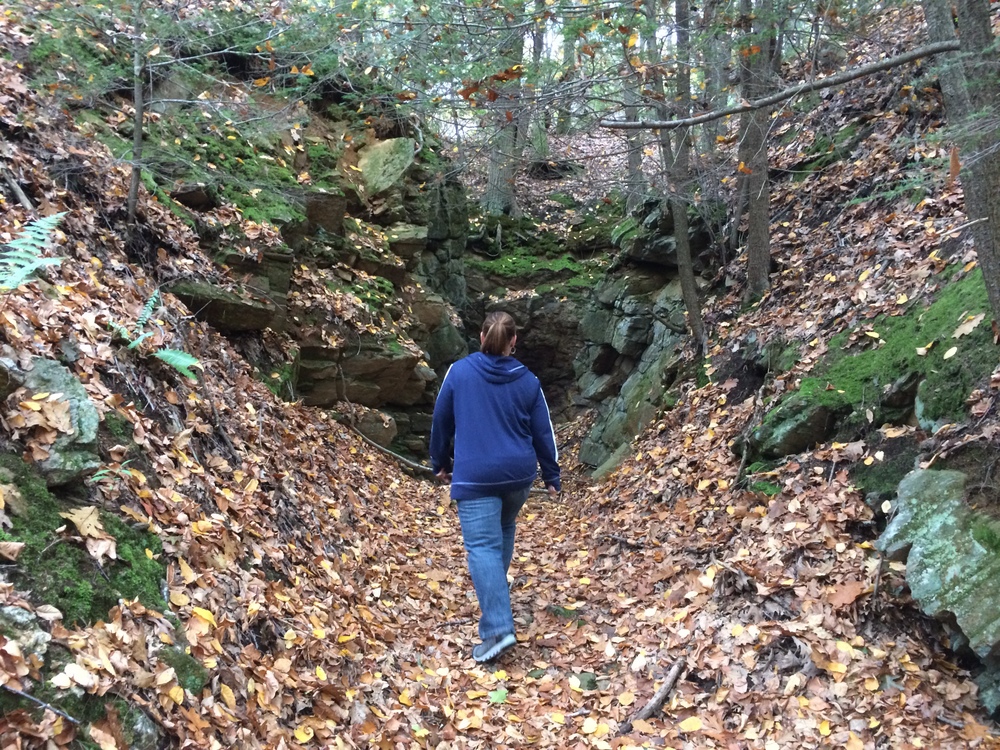
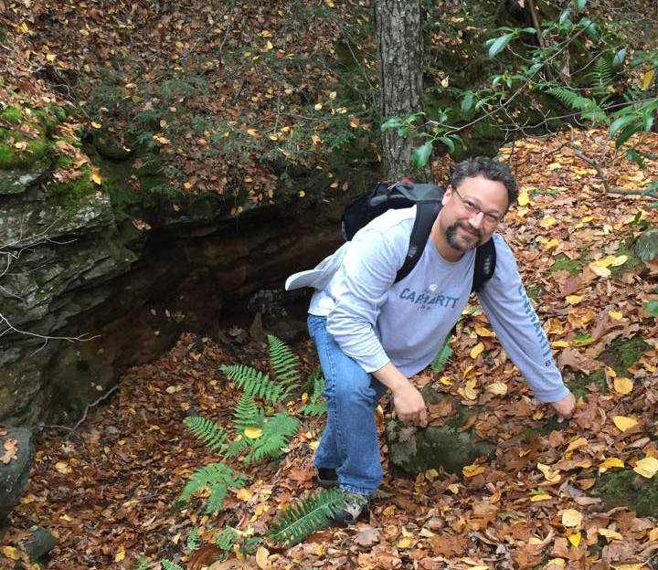
The next day, Jessica and I took a short hike through the woods at the Rock House Reservation, a favorite of ours for many years.

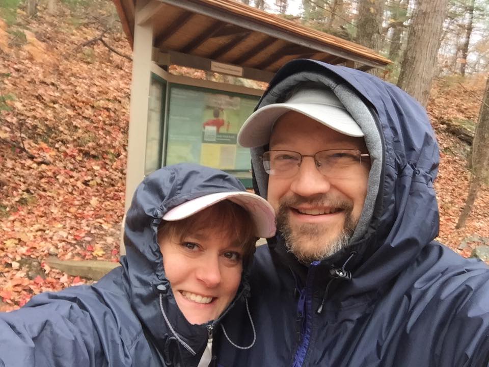
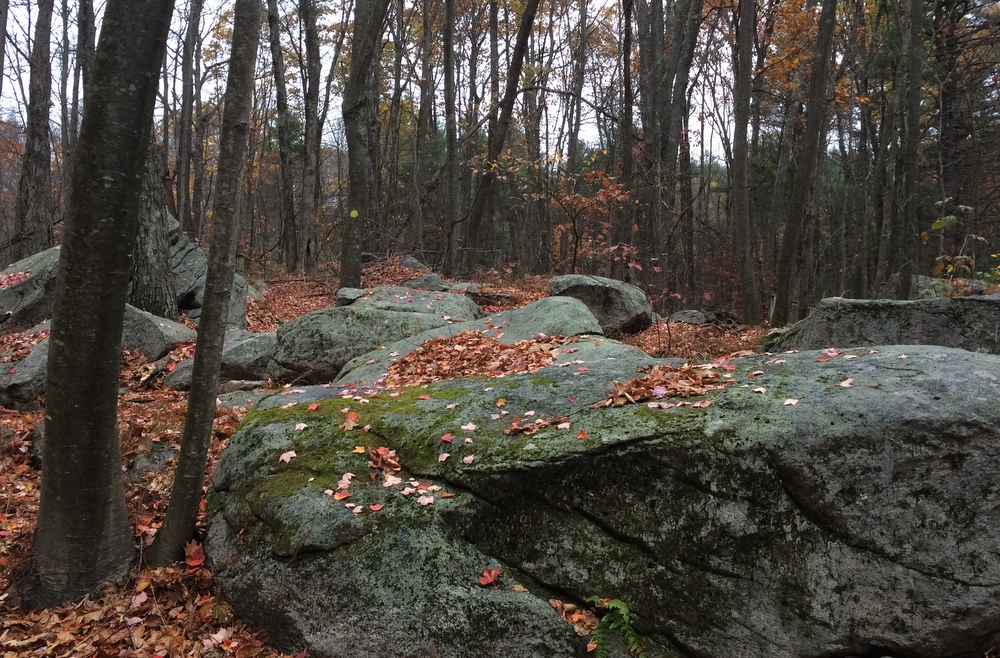
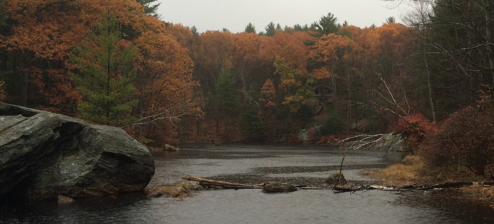
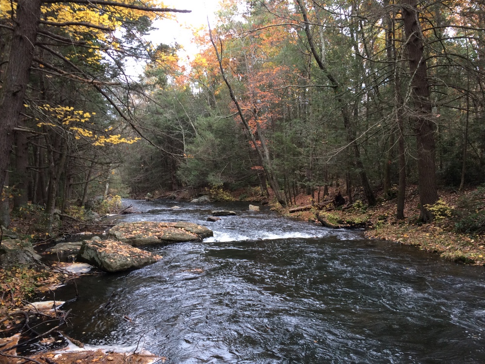
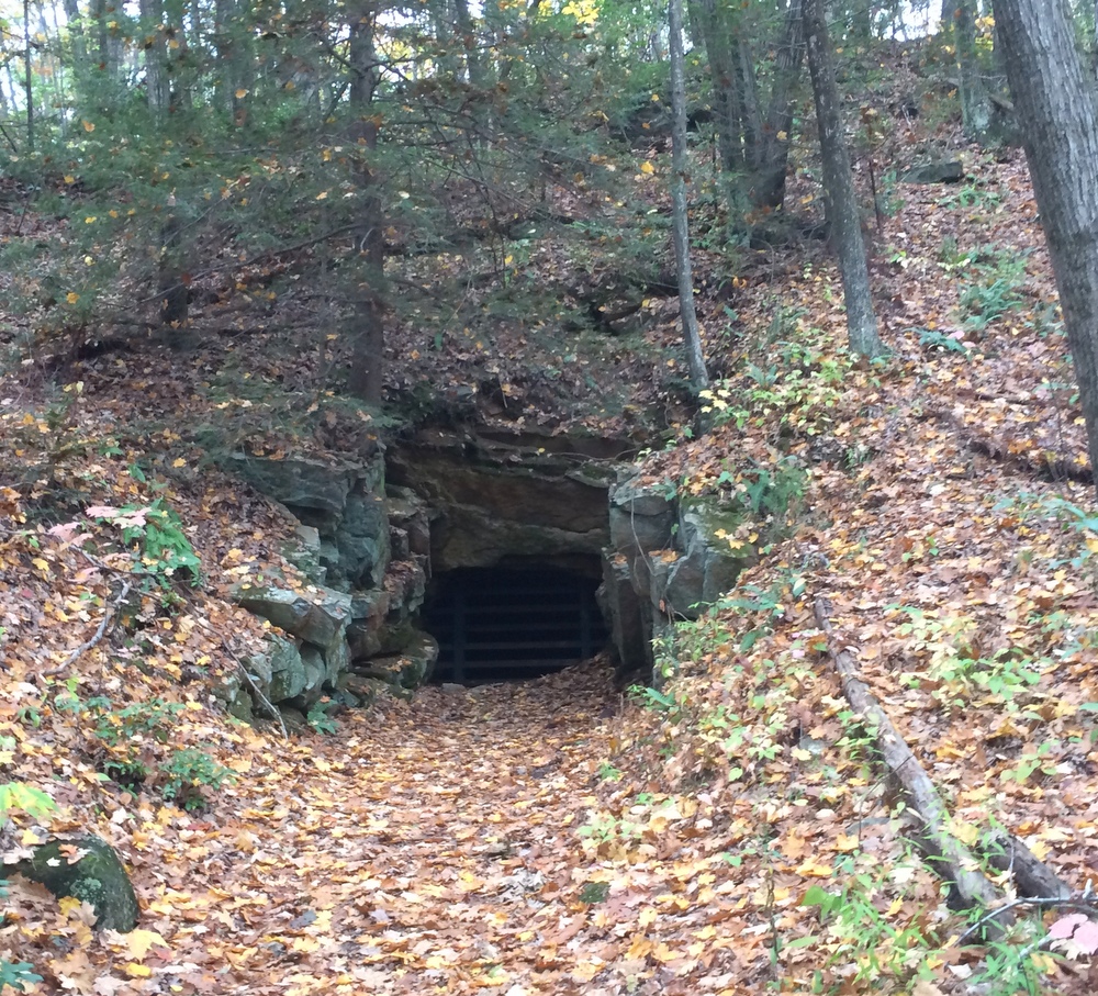
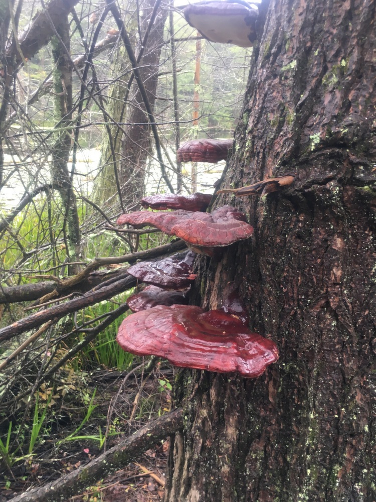
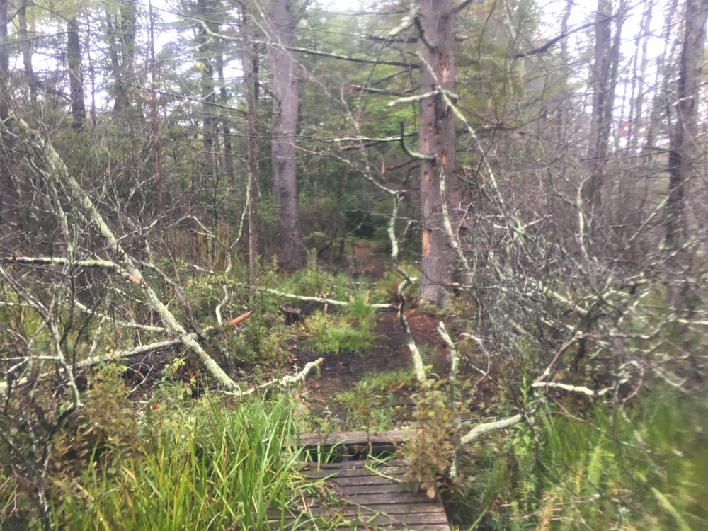
And the day after that, in fairly steady rain, I took a solo hike through Opacum Woods, a beautiful property I’ve explored plenty of times.  It offers a variety of terrain types, interesting things to look at, and the trails loop instead of being out-and-backs.  The only complaint I have about Opacum is that it’s directly next door to one of the busiest interchanges in the state (I84 + I90) and the highway noise is constant.  As the trails here are fairly simple, I won’t narrate the whole hike, but I did the full loop and the highlights are below.

(Note, my waterproof hiking boots were fine in the rain, but my water-“resistant” jacket failed miserably.)

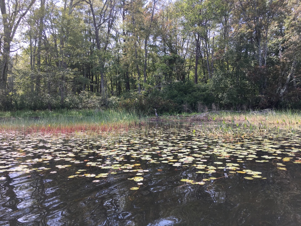
And as if that was not enough, after three straight days of hiking I went for a fourth day of outdoor activities with a long kayak trip with a friend.  We hit Quaboag Pond from the south and fought the wind and even did a bit of fishing.

Four days off from work, and four days of vigorous outdoor activity.  I can’t complain.  Even if I wasn’t training for a big hike next month, I’d be enjoying this, but knowing it’s getting me ready for this adventure, it’s even more rewarding.

Peaked Mountain – Monson

You cannot ask for much better fall hiking weather than we had this weekend.  Mild enough that only a few extra layers were needed, no real wind to speak of, and a clear blue sky letting ample sun through to warm the air just enough.  There are two sides of November, and I love them both — this was without a doubt the “beautiful sunny late fall” side.

Last weekend while at Rock House, we picked up a trail map for Peaked Mountain in Monson.  It’s a bit of a drive (40+ minutes), but we knew we’d have enough time for a couple hours there if we packed a lunch.  With the weather so nice, we decided to give it a shot.

We went from Brookfield, into Brimfield, across Route 20 and on back roads through Wales and Monson.  It’s hilly rural country that was a joy to drive through (though the scars of the 2011 tornado still mar the landscape).  We suffered some minor GPS shenanigans (“You have arrived at your destination” indeed), but soon found ourselves at the parking area shared with a half-dozen other vehicles.  We took a look at the trail map and decided to take the most direct route to the summit and have lunch there before exploring the rest of the property.

044

We followed Roslyn’s Turnpike directly up, a steady but not-too-steep ascent up a wide rocky path that could have handled a small 4WD vehicle (some of these trails are old fire roads, and are named after the people who helped preserve this property after a forest fire).

004

006

The forest along this part of the mountain was widely spaced hardwoods with occasional boulders.  The walk was not technical or challenging, just a steady climb. We paused by a small pond to take some pictures.

012

After the long straight portion of the trail, it meets with a loop that tours the summit and hits some beautiful vistas.  We headed that way next and the trail got narrower but more level as it looped.  Then the trail headed up some rocks to a scenic overlook facing southwest. It was breathtaking and calm; the mountain is not that high but because it’s so alone it feels like you’re on top of the world.

021

We continued the summit loop as the terrain changed and we found more underbrush and thicker trees.  The trail got a bit more steep in spots too, requiring a little bit of climbing but nothing as severe as on Wachusett.

022

We eventually found ourselves approaching the summit, and the trail got a bit steeper and rockier for the most challenging uphill portion of the hike.

024

Finally, we ended up at another vista, this one facing east.  There, we stopped for lunch and talked about how wild the land still looked, even though we could see several houses.  It must have been an amazing thing to come to the New World from (relatively) crowded Europe.  Every time I look out on these kind of views I think back on the first interactions between the settlers and the indigenous Americans, and how things changed over time.

025

With lunch done and plenty of time remaining, we decided to walk around the summit a bit and enjoy the different views.  Others were here too, in small groups, doing the same thing we were.  There was something new to me here, as well — a trail registry.  In a metal mailbox in a clearing at the summit were two journals, one full, and one just beginning.  We stayed for a few minutes and read what people had said before us — one told a story of a young Halloween party-goer who walked off a night of excessive drinking here, while another older hand wrote of missing a long-loved and recently passed dog.

It reminded me of a bed and breakfast’s guest book, and I penned a few words there about the beautiful day, the quiet peace, and the majestic views.

From the top we took the long route down, following red blazes along an easy slow descent until we met the orange trail, which we followed long looping descent which started out fairly steep.  The descent was actually much harder on the legs than the ascent was; slippery leaves made for slow going, and halfway down a mild but stubborn pain developed in my knee.  I slowed my pace and tried to angle my steps; it never got any worse, but I was thrilled when our looping trail took us uphill again.

035

Soon, the orange trail reconnected with the red trail, which we followed briefly until we passed the pond we stopped at earlier.  There, we explored a side trail blazed in yellow.  We paused to admire the brilliantly blue sky and the occasional bursts of post-peak color on some of the trees stubbornly holding onto their leaves.

040

041

Before we knew it, we were back at the car, with plenty of time to spare before we had to rescue Evie from gymnastics.  We drove home slowly, pausing at an apple orchard and taking side roads we hadn’t explored before.

Peaked Mountain is a beautiful treasure close to home, with unique views to reward the sometimes challenging terrain.  There are multiple geocaches here which we did not search for; maybe we’ll return with Evie to find them. There’s also another few trails a half-mile north at Miller Forest Tract; maybe we’ll explore those soon as well.  We saw some other areas that might be worth looking into soon including the Conant Brook Dam which contains trails which connect to both Brimfield and Wales.

Rock House Reservation – West Brookfield

The weather forecast today was for temperatures in the low 40s, wind, and rain.  We briefly considered staying indoors, but we knew we’d regret it.  So we added some layers and headed west on Route 9. Nearly all the way through West Brookfield, right before Ware, is the Rock House Reservation.

This property, maintained by the Trustees of Reservations, is a favorite local natural retreat.  We’ve been here a half-dozen times with our daughter, exploring and geocaching, but this time we went because we knew we could get a few miles of hiking in on familiar trails (map available here) while being sheltered from the worst of the weather by the trees.  We’d also never come without her, and wanted to enjoy the scenery of the area at our own pace.

When we arrived, the lot was empty, and we posed for a quick photo in our still-dry rain gear before heading in.

10734195_10204531750321135_2277733996037377814_n

We started at the Outer Loop, through lightly wooded rolling terrain dotted with boulders.  To our left was an area of the Reservation open to hunting, but on this lousy day even the hunters were staying dry.

024 10698647_10204531750481139_3597762765494158618_n

030

We followed this loop to Balance Rock and admired the view, and then forked north under the power lines, first through an open meadow area and then up the steeper wooded Summit Trail.

041

The Summit Loop crests a hill and then parallels a field near a neighboring farm before heading back into the woods.

047

It loops back to where it begins, and we continued our hike by following the Fullam Loop to the east.

059

All along the hike, the mixed forest changed around us — in some areas sparse, in others thick.  Sometimes we stood exposed to the elements, others under the quiet shelter of towering pines.  Periodically we paused to admire, through gaps in the trees, the beautiful post-peak New England foliage.

054

As the rain picked up, we returned to the Outer Loop that we began on, and skirted around Carter Pond on the Inner Loop trail.  The trail wove around and through giant boulders, and we felt like kids, dwarfed by the size of the rocks around us.  We stopped taking pictures here, as the rain became steady and heavy.

063 067

We covered around three miles today.  We got half-soaked (maybe three-quarters), but we were laughing and content as we climbed back into the car for the toasty drive home (where the heat was promptly turned up, and coffee and tea made).  Nothing feels quite so good as warming up after being honestly chilled and soaked doing something fun….

Quinebaug Woods and Tantiusques – Sturbridge and Holland

After a rainy week, we knew the trails might be a bit muddy and slippery with fallen leaves, so we opted for some easier locations this weekend.  With Evie safely handed off to Saturday gymnastics, we stopped for lunch at Soup to Nuts in Sturbridge.  They’re a cozy lunch spot with a limited menu including a rotation of homemade soups and quiches.  Even though I’d never heard of it, they’ve been in business 31 years. Shows what I know!

Fed and ready to explore, we stayed local and headed down Leadmine Road, intending to visit Tantiusques, a Trustees of Reservations property down the road from the Leadmine trails we had previously hiked.  Following the Trustees’ directions, though, led us nowhere fast; Leadmine Road became a basically impassible dirt road (at least in my hatchback) thanks to deep ruts, wide puddles, and heavy fallen leaf cover.

After debating for a bit, we took side roads over to Holland and found Quinebaug Woods instead, another Trustees property.  Quinebaug Woods is a narrow parcel nestled between private property and the Quinebaug River.  A single trail goes on a brief 1.1 mile loop.

006

It starts along the river (fishing is allowed, and someday I may return with a fly rod) and then takes a short steep climb up.

010

After the climb, it’s a meandering walk along rocky paths back to the trailhead.

017 025

Along the way, we stopped at the old chimney, all that is left of a 1930s cabin on the property.  It’s impressively large for what must have been a tiny cabin (there is not much level ground here!).

028

After completing the loop, we looked at our maps (on our phones, of course) and figured out we could take a back way across to Tantiusques from where we were.  So we made a quick drive back into Sturbridge and approached the site from the opposite direction.  The road was paved, well-maintained, and wide.  I have no idea why the middle section of the road was such a disaster.

Tantiusques was similar terrain as the trail we had just completed, with a similar 1 to 1.5 mile trail loop on it.  The interesting aspect of this property is its mining history, dating back to pre-Colonial times.  The mining stopped in the early 20th century, and there’s ample evidence of the mining all around, including this 1905 mine entrance which is fortunately boarded up (but still plenty creepy looking).

031

Most of the mining on this property was not underground, though. The miners simply cut into the earth, exposing the graphite and other minerals.  Much of the hike was along an old ridge that had been cut open and partially refilled.  There were ample opportunities to look into nooks and crannies of the old mining cuts.

035 10517454_10204441732230739_8375409553202293585_n

We somehow missed a cutoff which would have returned us to the trail head, and followed a side trail which took us out to the road, meaning we had to walk a quarter mile down the road to return to our car.

In both these cases, the properties were obviously not as well-traveled as our other trails.  Trail markings were not as clear,probably because the parcels were small and the trails simple one-mile loops. But we still felt lucky to experience two great hikes in the middle of this beautiful New England autumn.